From Eve
Know before you go
Hi, I'm Eve. Here are a few practical things to know before exploring Wayah Bald.
Local know-how to help you travel smarter and make the most of every moment.

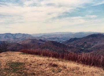
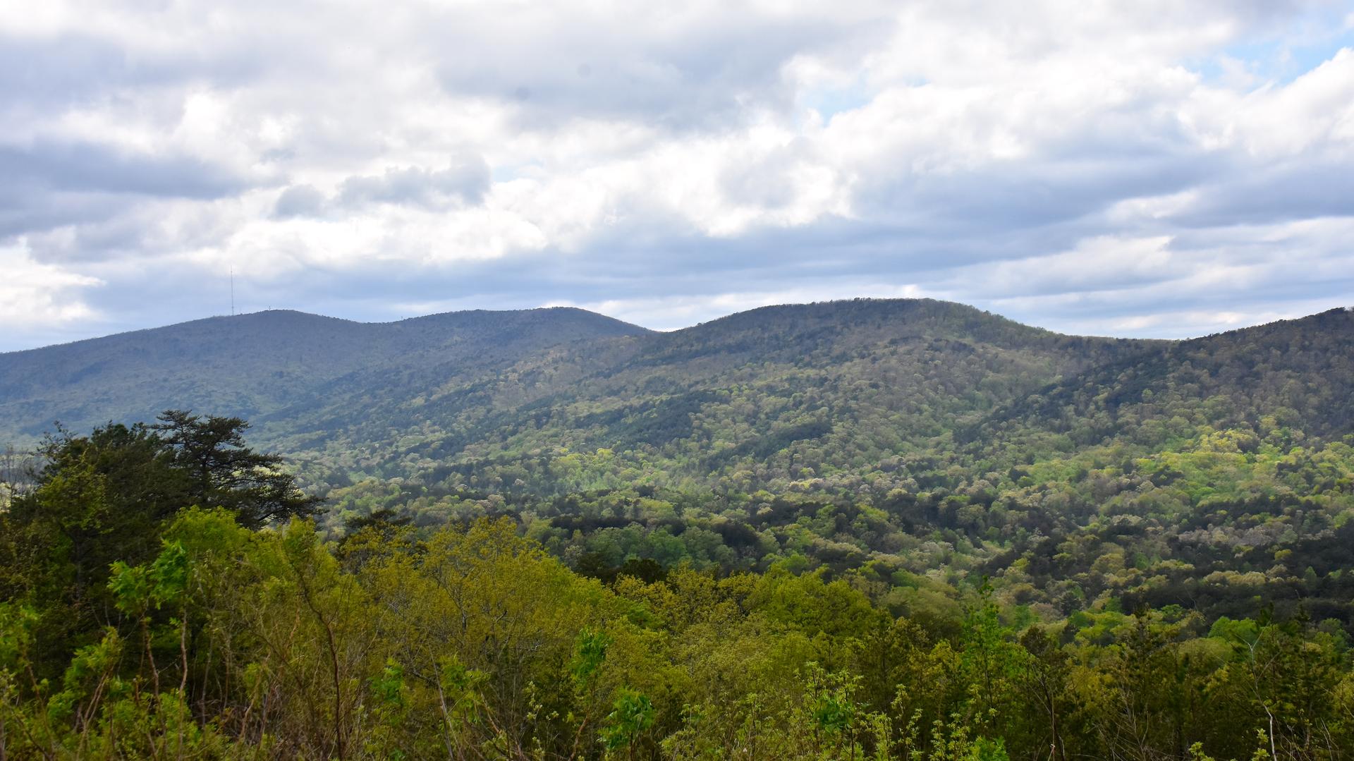
Discover panoramic views from a historic fire tower at Wayah Bald, where the Appalachian and Bartram Trails meet in the Nantahala National Forest.
Wayah Bald, near Franklin, NC, offers stunning panoramic views from its historic stone fire tower. Built in 1937 by the Civilian Conservation Corps, the tower sits atop a high-altitude treeless area within the Nantahala National Forest, accessible by a short walk from a nearby parking area [5, 11].
Opening times, essentials, and a few local tips gathered into one calmer, easier-to-scan planning section.
Hi, I'm Eve. Here are a few practical things to know before exploring Wayah Bald.
Local know-how to help you travel smarter and make the most of every moment.
Driving
From Franklin, NC, travel west on US 64 for approximately 3 miles [2, 7, 13]. Turn right at the Wayah Bald/LBJ Job Corps sign onto Old Murphy Road/State Road 1442, then quickly left onto State Road 1310/Wayah Road [2]. Continue on Wayah Road for 9 miles [2, 7, 13]. Turn right onto the unpaved National Forest Road 69 (Wayah Bald turnoff) and follow it for 4.3 miles to the parking area [2, 4, 7, 13]. Note that Forest Road 69 is typically closed from January 1 to April 1 [2, 6, 12, 13]. Parking is free at the Wayah Bald parking area [2].
Hiking
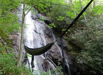
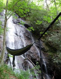
Wayah Bald is accessible via the Appalachian Trail and Bartram Trail [2, 5, 6]. A moderate 8.5-mile hike from Wayah Gap along the Appalachian Trail leads to the summit [3]. Alternatively, the 9.1-mile Wayah Crest Trail provides another hiking option [11]. The final approach to the tower from the parking area is a short, paved 0.4-mile path [7, 11, 12]. No fees are associated with hiking these trails.
Use Wayah Bald as your starting point for nearby food, family ideas, nightlife, and more local discoveries.

Explore expert travel guides, compare and book tours, experiences, hotels, and more—all from the palm of your hand. Download now for seamless trip planning wherever your wanderlust takes you.
Explore the tranquil beauty and rich heritage of Alabama's Appalachian Mountains, where nature and culture blend seamlessly into an unforgettable experience.
Tell me more about Appalachian Mountains