Trough Springs Trail: A Walk Through History
Hike through history on Monte Sano Mountain, where a natural spring tells tales of Native Americans, pioneers, and the Civil War's end in North Alabama.
Trough Springs Trail provides a unique blend of natural beauty and historical significance on Monte Sano Mountain. This 0.8-mile (1.6 miles roundtrip) point-to-point trail descends from the Monte Sano Boulevard Land Trust parking lot to Trough Springs, a site with a rich past. The spring served as a vital water source for Native Americans, early pioneers, and Civil War soldiers. It was also the location where Lt. Col. 'Bushwhacker' Johnston surrendered to the Union Army in May 1865, effectively ending the Civil War in North Alabama. While the spring itself may appear underwhelming today due to the construction of Highway 431, its historical importance makes it a worthwhile destination. The trail is considered moderately challenging, with a steady descent from the trailhead and some rocky sections. The initial part of the trail is relatively rock-free, but hikers should be cautious of a small wooden bridge that can be slippery when wet. After the intersection with Natural Well Trail, the path descends through interesting rock formations. Beyond Trough Springs, the trail flattens out and connects to an old logging road at the Bushwhacker Johnson trail. This section may lack trail markers, requiring hikers to navigate carefully. The trail eventually reaches signage indicating the end of the Land Trust property. Trough Springs Trail offers a chance to immerse oneself in nature while reflecting on the area's historical past.
Local tips
- Wear appropriate footwear as the trail can be rocky and slippery in places.
- Bring water, especially during warmer months, as the hike back up can be strenuous.
- Be mindful of trail markers, particularly after Trough Springs, to stay on the correct path.
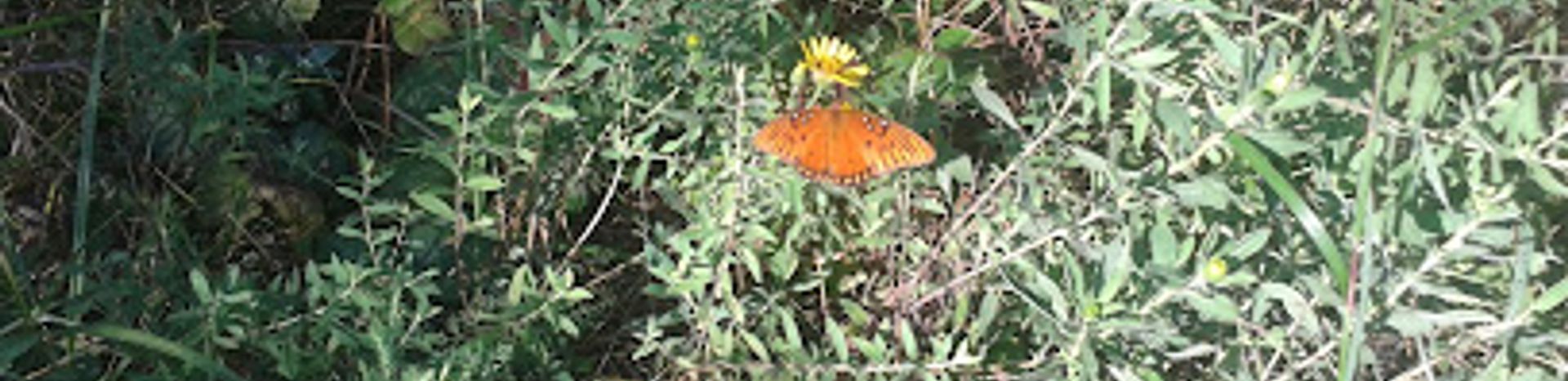
- Consider visiting in the spring to see wildflowers along the trail.
A brief summary to Trough Springs Trail
- Trough Springs Trail, Huntsville, Alabama, 35801, US
Getting There
-
Driving
From downtown Huntsville, take Governors Drive east up Monte Sano Mountain. Turn left onto Monte Sano Boulevard. The South Monte Sano Trailhead will be on the right in approximately 0.75 miles. Parking is free. Be aware that parking can be limited during peak times.
-
Public Transport
While Huntsville offers public transportation via the Huntsville Shuttle, there are no direct routes to the Trough Springs Trailhead. The nearest bus stop is a considerable distance away, making this an impractical option. Consider using a ride-sharing service from the nearest bus stop or downtown Huntsville. A ride-sharing service from downtown Huntsville to the trailhead will cost approximately $15-$25.
-
Walking
If you are already on Monte Sano Mountain, you can walk along Monte Sano Boulevard to the South Monte Sano Trailhead. Be cautious of traffic as there may not be sidewalks available for the entire distance. Once at the trailhead, follow the signs for Trough Springs Trail.


