Mazatzal Wilderness: Arizona's Rugged Escape
Explore Arizona's Mazatzal Wilderness: Rugged mountains, deep canyons, and pristine wilderness await adventurous hikers and backpackers.
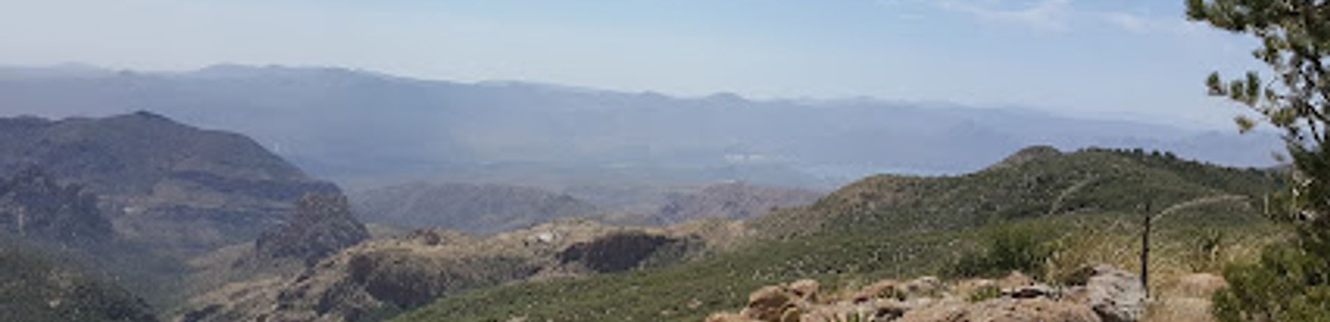
The Mazatzal Wilderness encompasses over 252,500 acres within the Tonto and Coconino National Forests, offering a diverse landscape of rugged mountains, deep canyons, and the একমাত্র Wild River Area in Arizona. Established as a Primitive Area in 1938, it became one of the original Wilderness Areas in 1964, preserving its natural state for generations to come. The name "Mazatzal" is believed to originate from the Nahuatl language of the Aztecs, meaning "land of the deer," though there's no evidence the Aztecs ever inhabited the area. The wilderness boasts elevations ranging from 2,100 feet along the Verde River to 7,903 feet at the summit of Mazatzal Peak. This variation in altitude creates diverse ecosystems, from Sonoran Desert shrubland to pine-covered mountains. The Mazatzal Wilderness offers over 240 miles of trails, ranging from well-maintained to challenging. Popular routes include the Mazatzal Divide Trail, a 29-mile trek along the mountain ridge, and the Verde River Trail, a 28-mile path following the scenic river. The Barnhardt Trail is another favorite, leading to a waterfall. Backpacking and primitive camping are popular activities, allowing visitors to immerse themselves in the wilderness experience. Despite its proximity to the Phoenix metropolitan area, the Mazatzal Wilderness provides a remote and challenging experience. Summer temperatures can soar to 110 degrees Fahrenheit, and lightning storms are common in July and August. Visitors should be prepared for rugged terrain, limited shade, and the need to carry sufficient water.
Local tips
- Check the weather forecast before you go and be prepared for extreme temperatures, especially during summer.
- Bring plenty of water, as sources are limited and unreliable.
- Wear sturdy hiking boots and be prepared for rough terrain.
- Inform someone of your hiking plans and expected return time.
- Be aware of wildlife, including deer, and other animals.
A brief summary to Mazatzal Wilderness
- Humboldt, Humboldt, Arizona, US
Getting There
-
Driving
The Mazatzal Wilderness has multiple access points, but many require high-clearance vehicles due to rough forest roads. From Phoenix, a common approach is via Highway 87 (Beeline Highway). Depending on your chosen trailhead, you may need to turn onto forest roads such as FR 201 or FR 419. Check with the Tonto or Coconino National Forest Service for current road conditions and closures before you go. Parking is typically free at trailheads, but spaces can be limited, especially on weekends. No fees are required to enter the Mazatzal Wilderness itself.
-
Hiking
Once you arrive at a trailhead, the final approach is on foot. Popular trailheads like Barnhardt and Mazatzal Divide offer access to various trails. Be sure to consult a map and choose a trail appropriate for your skill level and desired distance. The trails range in difficulty, with some being steep and rocky. Always wear sturdy hiking boots, carry plenty of water, and be prepared for changing weather conditions.


