Royal Arch, Kaibab National Forest Travel Guide
Discover the Grand Canyon's remote Royal Arch: A challenging hike with a natural rock bridge reward for experienced canyoneers.
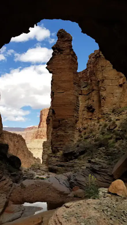
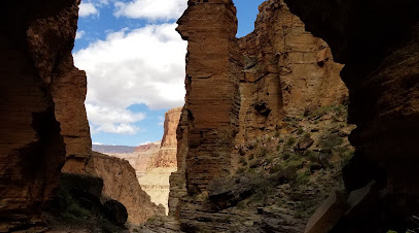
Royal Arch is a natural rock bridge carved by water in a remote section of the Grand Canyon. The challenging Royal Arch Loop is considered one of the most difficult established hikes on the South Rim, requiring advanced canyoneering skills and a technical rappel.
A brief summary to Royal Arch
- Grand Canyon Village, Arizona, 86023, US
- Click to display

Know before you go
Hi, I'm Eve. Here are a few practical things to know before exploring Royal Arch.
- The Royal Arch Loop is extremely strenuous; only attempt it if you have extensive backpacking and canyoneering experience.
- A permit is required for overnight trips. Secure permits well in advance through the Grand Canyon National Park's backcountry permit system.
- Carry a detailed map, compass, and GPS, and possess strong route-finding skills, as the trail is often faint and unmarked.
- Pack at least a 40-foot rappel rope, webbing, and appropriate gear for a technical rappel.
- Check with the Backcountry Information Center for current water source conditions, and carry ample water or a reliable water filter/purifier.
Do you manage this location?
Take control to get all the benefits, like improved information, better appearance, and stronger visibility across AI-powered discovery. Learn more about listing your business on Evendo
Activate your presenceOther nearby places you may find interesting
The closest places of the same kind, if this one is not quite what you had in mind.
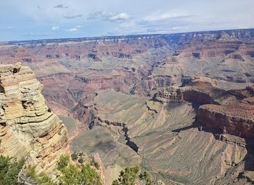
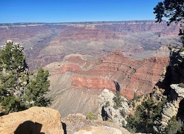
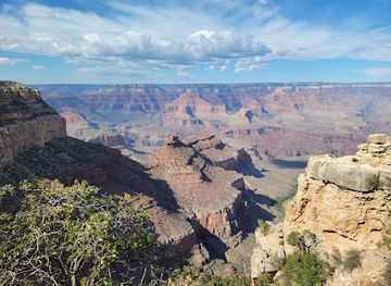
Explore Royal Arch on the Map
A handpicked selection of must-see spots near Royal Arch, mapped for you.
Getting There
-
Car
From Grand Canyon Village, follow signs toward Maswik Lodge, then the park kennel, and onto Rowe Well Road. Follow this road southwest until intersecting FR 328A. Take FR 328A south, then turn east onto FR 328. Continue west on FR 328 until the Havasupai Reservation border. A $25 fee may be required to pass through the reservation. Continue to the South Bass Trailhead. Note: A high-clearance 4x4 vehicle is recommended due to the rough, unpaved road. Check road conditions before travel.
-
Walking
From the South Bass Trailhead, the Royal Arch Loop begins with a descent on the South Bass Trail. After approximately 1.4 miles, turn west onto the Esplanade. Follow the faint path across the Esplanade, marked by cairns. The route then descends into Royal Arch Canyon. Be prepared for challenging terrain, including scrambling and the need to bypass pour-offs. Note: This is a strenuous hike requiring off-trail navigation skills.
Discover more about Royal Arch













Your all‑in‑one travel companion app
Explore expert travel guides, compare and book tours, experiences, hotels, and more—all from the palm of your hand. Download now for seamless trip planning wherever your wanderlust takes you.


Explore More of Kaibab National Forest
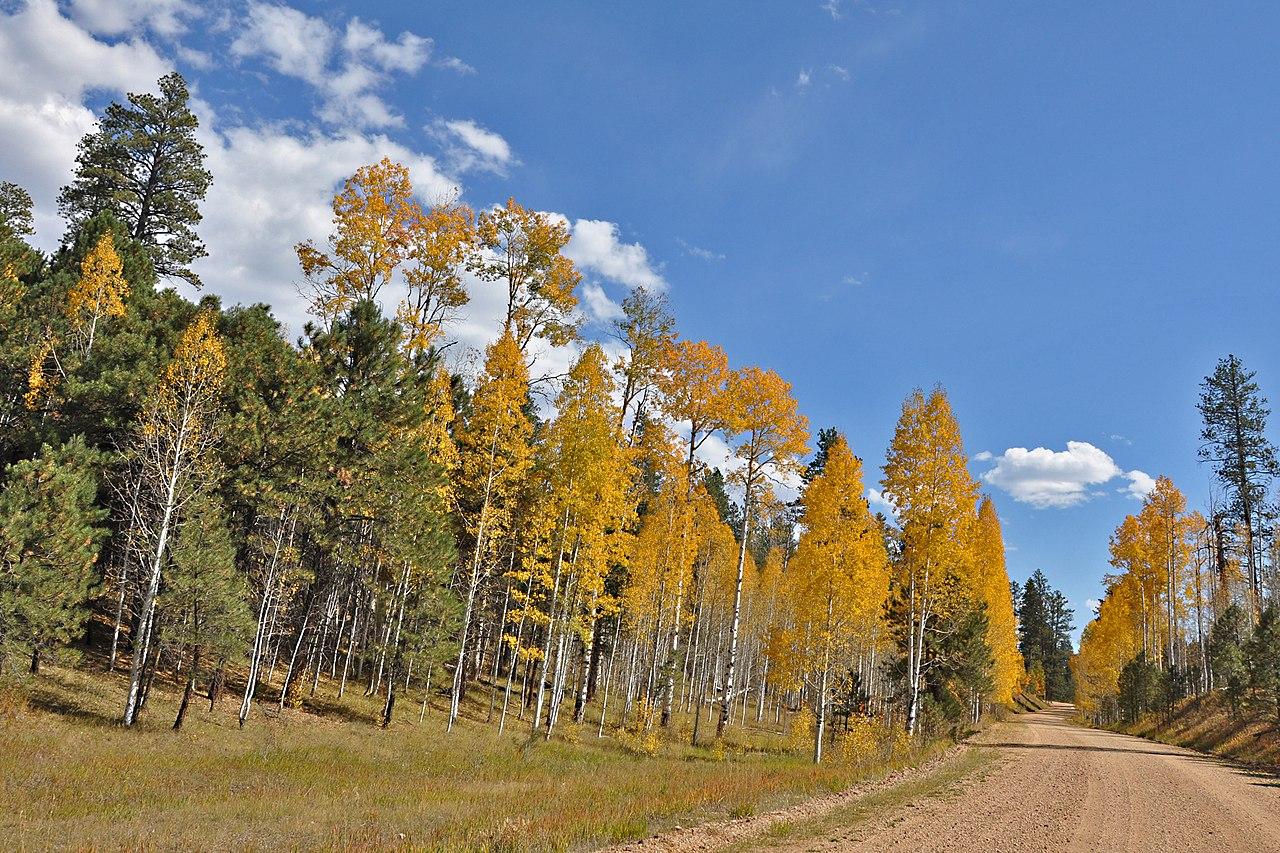
Looking beyond Royal Arch? Discover Kaibab National Forest for broader travel guides, local hot-spots, and regional highlights.
Explore Kaibab National Forest
Start your Havasupai adventure at the Rangers Office: Permits, safety info, and a glimpse into Havasupai culture await!
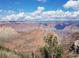
Explore the breathtaking South Bass Trailhead, a stunning hiking area in the heart of the Grand Canyon, perfect for adventurers and nature lovers.