From Eve
Know before you go
Hi, I'm Eve. Here are a few practical things to know before exploring Upper Buffalo Wilderness.
Local know-how to help you travel smarter and make the most of every moment.

Discover Arkansas's wild side in the Upper Buffalo Wilderness: rugged trails, historic remnants, and unparalleled solitude await.
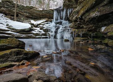
The Upper Buffalo Wilderness, nestled within the Ozark National Forest, offers a rugged and remote escape into nature. Characterized by steep forested slopes, pristine streams, and remnants of early settlements, it's a haven for experienced hikers and those seeking solitude.
Opening times, essentials, and a few local tips gathered into one calmer, easier-to-scan planning section.
Hi, I'm Eve. Here are a few practical things to know before exploring Upper Buffalo Wilderness.
Local know-how to help you travel smarter and make the most of every moment.
Driving
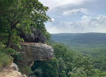
The most popular access point is the Hawksbill Crag Trailhead. From the intersection of Hwy 43/Hwy 21 in Boxley Valley, head south on Hwy 21 for 1.2 miles. Turn right onto Cave Mountain Rd/County Rd 5 (unmarked dirt road). Follow this road as it climbs Cave Mountain. After 5.4 miles you will pass Cave Mtn Church, continue straight until you reach the trailhead at 6.0 miles. Parking is free at the trailhead.
Driving
To reach the Dahl Memorial Access, from the intersection with Hwy 16/Hwy 21 in Fallsville, head east on Hwy 16/21 for approximately 1.4 miles, then turn left onto FR#1463/CR#414. Go approximately 2.0 miles, then turn right onto a lesser road, FR#1463-A, just before FR#1463 goes down a steep hill. The parking area is just ahead. Parking is free.
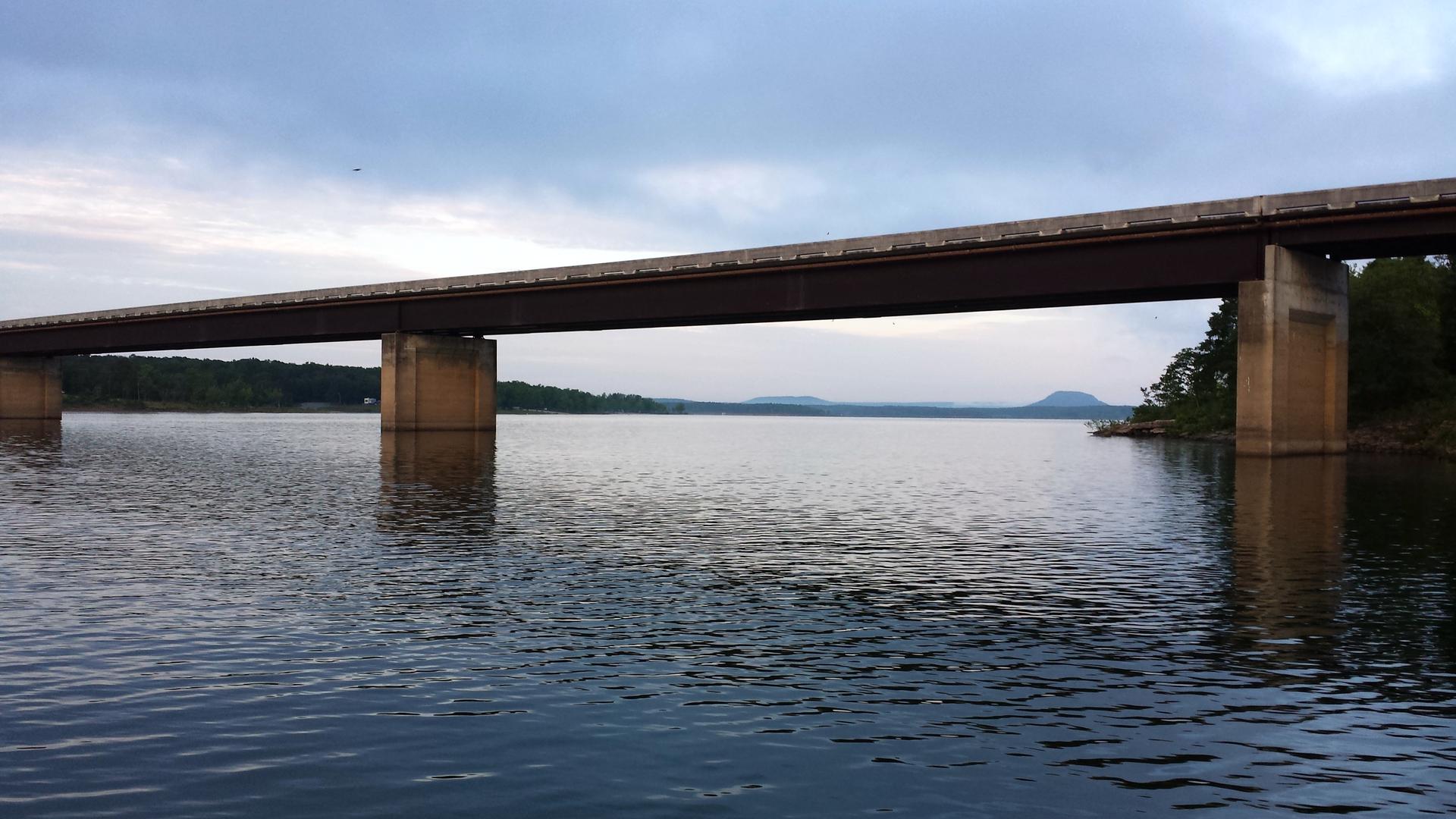
Use Tower Bridge as your starting point for nearby food, family ideas, nightlife, and more local discoveries.

Explore expert travel guides, compare and book tours, experiences, hotels, and more—all from the palm of your hand. Download now for seamless trip planning wherever your wanderlust takes you.
Discover the untouched beauty of Buffalo National River in Arkansas, where crystal-clear waters, scenic trails, and serene campsites await in the heart of the Ozarks.
Tell me more about Buffalo National River