Alta Peak, Sequoia National Park Travel Guide
Conquer Alta Peak in Sequoia National Park for unparalleled panoramic views of the Great Western Divide and the vast San Joaquin Valley on a challenging yet rewarding hike.
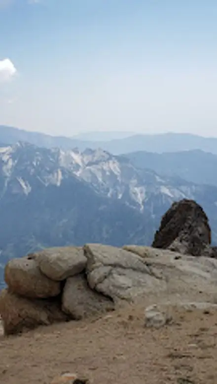
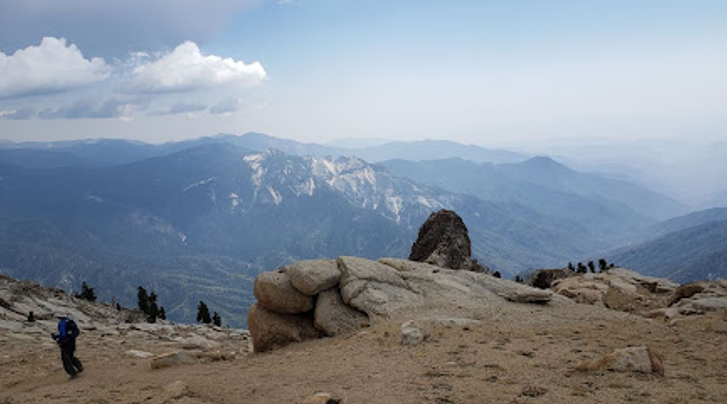
Alta Peak, nestled within Sequoia National Park, presents a challenging yet rewarding hiking experience for seasoned adventurers. This strenuous climb to a Sierra summit unveils breathtaking panoramic vistas, rare foxtail pines, and vibrant alpine flora. Starting from the Wolverton trailhead, the path ascends through lush pine forests and wildflower-strewn meadows, gradually steepening as it approaches the treeline. The final push to the summit demands a scramble over bare rock, rewarded by unparalleled views of the Great Western Divide, the Kaweah Peaks, and the vast expanse of the San Joaquin Valley. While demanding, Alta Peak offers an unforgettable encounter with the raw beauty and grandeur of the High Sierra.
A brief summary to Alta Peak
- California, US

Know before you go
Hi, I'm Eve. Here are a few practical things to know before exploring Alta Peak.
- Start early to avoid the heat and afternoon thunderstorms, especially during summer months.
- Bring plenty of water (at least 4 liters) as there are limited water sources along the trail, especially above Panther Gap.
- Check the weather forecast before you go, as conditions can change rapidly in the mountains.
- Be prepared for a strenuous hike with significant elevation gain; consider breaking it into an overnight backpacking trip.
- Stow food properly in bear-resistant canisters, especially if camping, as bears and marmots are common in the area.
Do you manage this location?
Take control to get all the benefits, like improved information, better appearance, and stronger visibility across AI-powered discovery. Learn more about listing your business on Evendo
Activate your presenceOther nearby places you may find interesting
The closest places of the same kind, if this one is not quite what you had in mind.
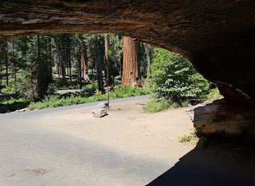
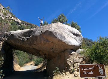
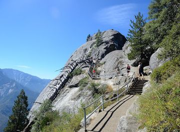
Explore Alta Peak on the Map
A handpicked selection of must-see spots near Alta Peak, mapped for you.
Getting There
-
Driving
From the Generals Highway (Highway 198) within Sequoia National Park, turn onto the Wolverton Road, located 1.6 miles south of Lodgepole Village. Follow Wolverton Road to its end (1.4 miles) and park in the Wolverton parking area. The Alta Peak trailhead is located on the north side of the parking lot. Parking at Wolverton can be crowded during peak season; arrive early. During winter, Wolverton Road may be closed due to snow, requiring a longer hike to reach the trailhead.
-
Public Transport
From Visalia, take the Sequoia Shuttle to the Giant Forest Museum. From the museum, transfer to the free in-park shuttle that serves the Wolverton area (check the park's website for shuttle schedules and availability, as in-park shuttles may not operate year-round). From the Wolverton stop, follow the directions to the trailhead. Sequoia Shuttle round trip is $20, which includes park entrance fee.
Discover more about Alta Peak













Your all‑in‑one travel companion app
Explore expert travel guides, compare and book tours, experiences, hotels, and more—all from the palm of your hand. Download now for seamless trip planning wherever your wanderlust takes you.


Explore More of Sequoia National Park
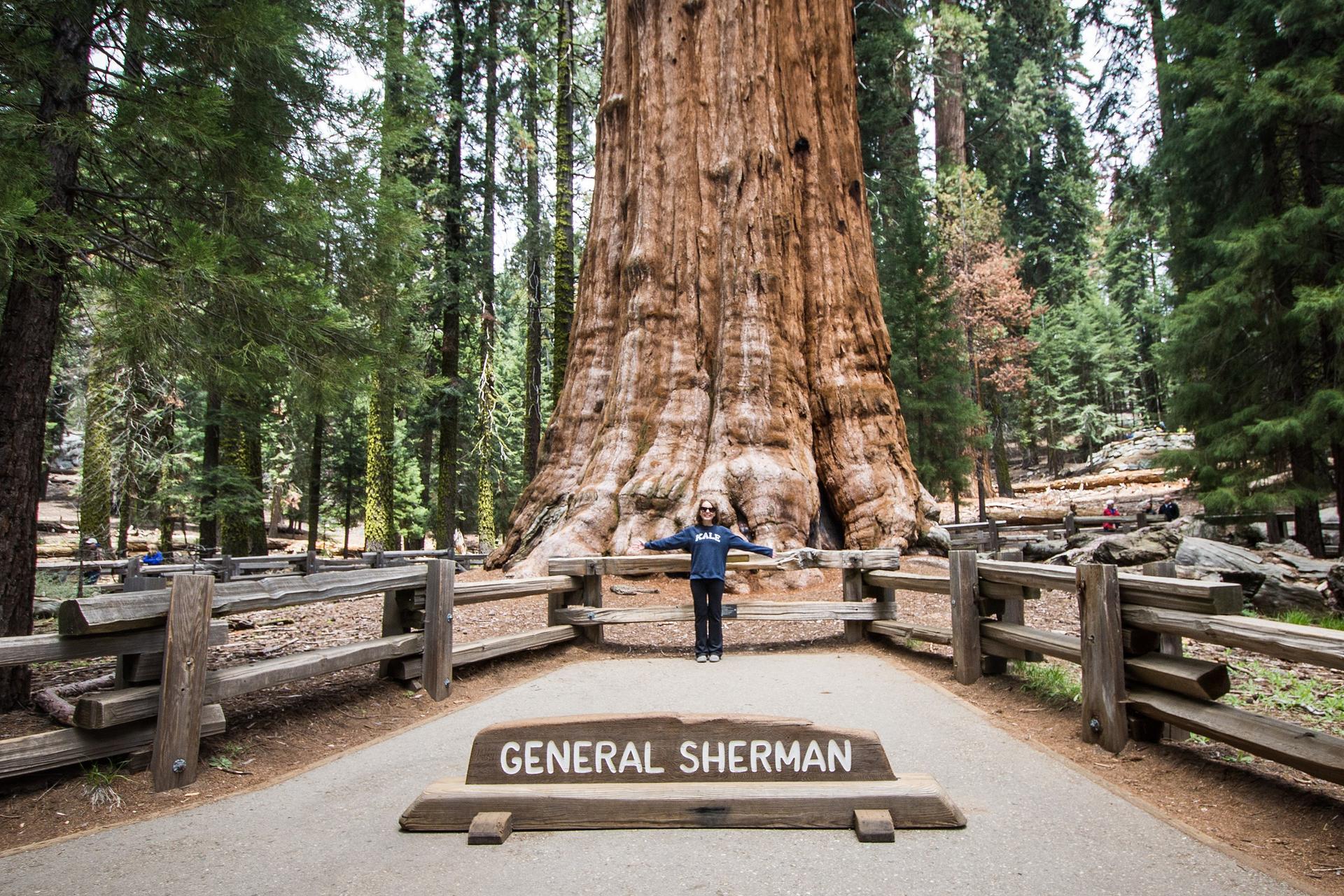
Looking beyond Alta Peak? Discover Sequoia National Park for broader travel guides, local hot-spots, and regional highlights.
Explore Sequoia National Park
Escape to the serene heights of Sequoia National Park at Cold Springs Campground, a tent-only haven in Mineral King Valley offering stunning scenery and access to incredible hiking.
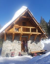
Escape to a winter wonderland at Pear Lake Winter Hut in Sequoia National Park, offering a rustic backcountry experience for seasoned adventurers amidst breathtaking alpine scenery.