Edwards Crossing Bridge, Sierra Nevada Travel Guide
Discover the historic Edwards Crossing Bridge near Nevada City, CA: a scenic gateway to swimming, hiking, and Gold Rush history in the South Yuba River State Park.
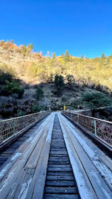
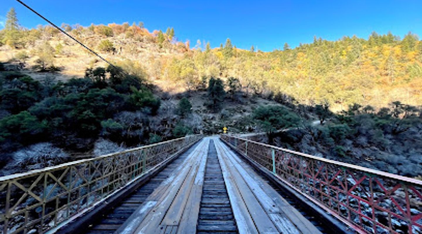
Edwards Crossing Bridge, a picturesque steel truss arch bridge built in 1904, spans the South Yuba River, offering a glimpse into California's Gold Rush past and a refreshing escape into nature. Located near Nevada City, this historic landmark once served as a vital artery for mining traffic and now welcomes visitors to explore the South Yuba Wild and Scenic River Recreation Area. The bridge provides access to swimming holes, hiking trails, and the nearby Malakoff Diggins State Historic Park. Its scenic beauty and historical significance make it a popular destination for those seeking outdoor adventure and a connection to the past. However, visitors should be aware of the narrow, winding road leading to the bridge and the limited parking available, especially during peak season. The bridge itself is a single lane and has weight restrictions, so caution is advised. Despite these challenges, Edwards Crossing Bridge remains a beloved landmark and a gateway to the natural wonders of the South Yuba River.
A brief summary to Edwards Crossing Bridge
- N Bloomfield Rd, Nevada City, California, 95959, US

Know before you go
Hi, I'm Eve. Here are a few practical things to know before exploring Edwards Crossing Bridge.
- Arrive early, especially on weekends, as parking is limited and the area can get crowded.
- Be cautious when swimming; the river currents can be strong and the water cold, even in summer. Life vests are recommended.
- Drive carefully on North Bloomfield Road, as it is narrow, winding, and steep in sections.
- Visit Malakoff Diggins State Historic Park nearby to learn about hydraulic mining and Gold Rush history.
- Pack a picnic and plenty of water, as there are no food vendors or facilities at Edwards Crossing.
Do you manage this location?
Take control to get all the benefits, like improved information, better appearance, and stronger visibility across AI-powered discovery. Learn more about listing your business on Evendo
Activate your presenceOther nearby places you may find interesting
The closest places of the same kind, if this one is not quite what you had in mind.
Explore Edwards Crossing Bridge on the Map
A handpicked selection of must-see spots near Edwards Crossing Bridge, mapped for you.
Getting There
-
Driving
From Nevada City, take Highway 49 north. Turn right onto Coyote Street, then right again onto North Bloomfield Road. Continue on North Bloomfield Road for approximately 7 miles to Edwards Crossing Bridge. Be aware that North Bloomfield Road becomes narrow and steep as you approach the bridge. Parking is available on either side of the bridge, but it is limited. During peak season, parking may be full, requiring a longer walk from further up the road.
Discover more about Edwards Crossing Bridge
More to explore near Edwards Crossing Bridge













Your all‑in‑one travel companion app
Explore expert travel guides, compare and book tours, experiences, hotels, and more—all from the palm of your hand. Download now for seamless trip planning wherever your wanderlust takes you.


Explore More of Sierra Nevada
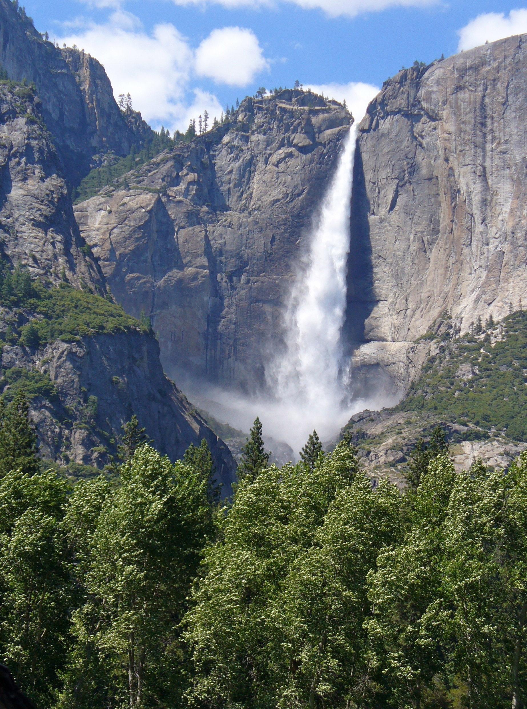
Looking beyond Edwards Crossing Bridge? Discover Sierra Nevada for broader travel guides, local hot-spots, and regional highlights.
Explore Sierra Nevada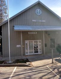
Discover the captivating history of railroads at the Nevada County Narrow Gauge Railroad Museum in beautiful Nevada City, California.

Discover the poignant history and enduring legacy of the Nisenan people at the Cement Hill burial site in Nevada City, a place of remembrance and cultural significance.