Explore the Heart of Gunnison County
Discover the natural beauty of Gunnison County with expert maps and insights from the Gunnison County Geographic Information Systems office.
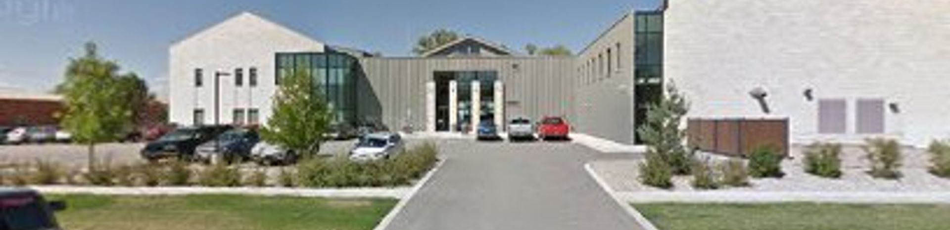
Gunnison County Geographic Information Systems serves as an essential resource for tourists and locals alike, focusing on the rich geography and natural beauty of the Gunnison area in Colorado. Situated in the heart of this scenic county, the office offers a variety of maps and geographic data that can enhance your visit. Whether you’re planning a hiking trip in the surrounding mountains or looking for the best fishing spots in the local rivers, the knowledgeable staff is on hand to help you navigate the region’s outdoor adventures. This center is not just a government office; it’s a portal to understanding the stunning landscapes that define Gunnison County. Tourists will find that the information provided here is invaluable, particularly for those who want to make the most of their time in the great outdoors. The office is typically open Monday through Friday, making it convenient to stop in during your travels. Be sure to ask about local trail maps, seasonal events, and any special permits you might need for activities such as camping or fishing. The staff is passionate about sharing their love for the area and can provide insights into hidden gems that you might not find in a standard travel guide. Exploring the resources available at the Gunnison County Geographic Information Systems will undoubtedly enrich your experience in this beautiful part of Colorado.
Local tips
- Visit during weekdays for the best access to staff and resources.
- Ask for seasonal maps to discover the best hiking and fishing spots.
- Inquire about local events that may be happening during your visit.
A brief summary to Gunnison County Geographic Information Systems
- 200 E Virginia Ave, Gunnison, Colorado, 81230, US
- +1970-641-7620
Getting There
-
Walking
From the center of Gunnison, head east on E Tomichi Ave. Continue walking for about 0.3 miles until you reach the intersection with S 2nd St. Turn left onto S 2nd St and walk for another 0.2 miles. Next, turn right onto E Virginia Ave. The Gunnison County Geographic Information Systems office will be on your left at 200 E Virginia Ave.
-
Biking
If you have access to a bike, start from the Gunnison Town Park located at 6th and E Virginia Ave. Ride east along E Virginia Ave for about 0.5 miles. You will pass through several residential areas. Continue straight until you reach the Gunnison County Geographic Information Systems office at 200 E Virginia Ave, which will be on your right side.
-
Public Transportation
If available, check the local bus schedule for routes that service the area around E Virginia Ave. Board the bus at a nearby stop and get off at the stop closest to E Virginia Ave and S 2nd St. From there, it’s a short walk east on E Virginia Ave to reach the Gunnison County Geographic Information Systems office at 200 E Virginia Ave.


