Skjoldungestien
Skjoldungestien Trail, Lejre

Glacial forests and fjord vistas on Denmark's most scenic 50-km trail network near Copenhagen.
Skjoldungestien is a 50-kilometer network of scenic hiking trails through Skjoldungernes Land National Park near Roskilde Fjord in Denmark. The route winds through glacially-shaped landscapes, forests, meadows, and along fjord coastlines, offering diverse terrain suitable for day hikes or multi-day adventures. Located just 30 minutes from Copenhagen, the trail passes through historically significant sites and provides a peaceful escape into nature despite its proximity to urban areas.
Opening times, essentials, and a few local tips gathered into one calmer, easier-to-scan planning section.
Train from Copenhagen
Take the regional train from Copenhagen Central Station to Roskilde (approximately 25–30 minutes, departing every 10–20 minutes). From Roskilde station, the trail entrance is accessible via a 15–20 minute walk or local bus connection. Return trains run regularly throughout the day. Single ticket costs approximately 40–60 Danish Krone.
Car from Copenhagen
Drive from Copenhagen toward Roskilde via Route E47 or E20 (approximately 30 kilometers, 30–40 minutes depending on traffic). Parking is available near Roskilde, Lejre, and Hvalsø trailheads. No entrance fee is required. The trail is open year-round, though wet conditions may affect road access to some parking areas in winter.
Bus from Roskilde
From Roskilde station, local buses serve Lejre and Hvalsø (approximately 20–30 minutes depending on route). Bus service runs several times daily. Fares are approximately 25–40 Danish Krone. This option is ideal for accessing different trail sections without a personal vehicle.
Multi-day hiking with train connections
Hike segments between Roskilde, Lejre, and Hvalsø (each section 2–5 hours), then use regional trains to return to your starting point or move to the next section. This approach allows flexible multi-day adventures without requiring a vehicle. Daily train passes offer savings for multiple journeys.
Catch the right light and the right mood, whether you want a bright city moment or a more cinematic evening visit.


Use Tower Bridge as your starting point for nearby food, family ideas, nightlife, and more local discoveries.
A quick look at seasonal patterns and peak visiting hours.

Explore expert travel guides, compare and book tours, experiences, hotels, and more—all from the palm of your hand. Download now for seamless trip planning wherever your wanderlust takes you.
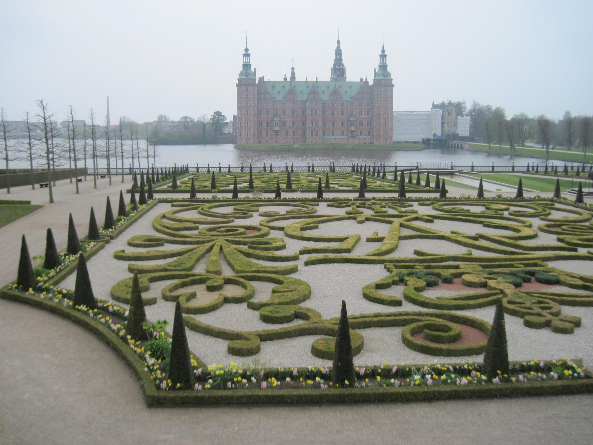
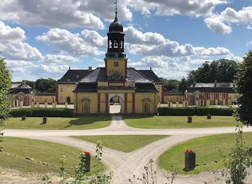
Explore Hillerød: Discover Frederiksborg Castle, vibrant town life, and scenic nature trails in Denmark's charming North Zealand region.
Tell me more about Hillerod