From Eve
Know before you go
Hi, I'm Eve. Here are a few practical things to know before exploring Aggersborg.
Local know-how to help you travel smarter and make the most of every moment.
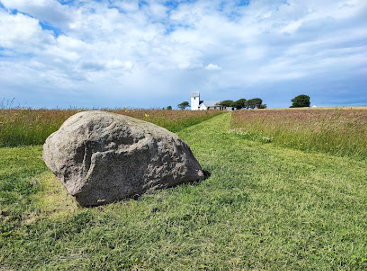
Denmark’s largest Viking ring fortress, a vast earth circle above the Limfjord, where Harald Bluetooth’s geometric stronghold still shapes a windswept landscape of power.
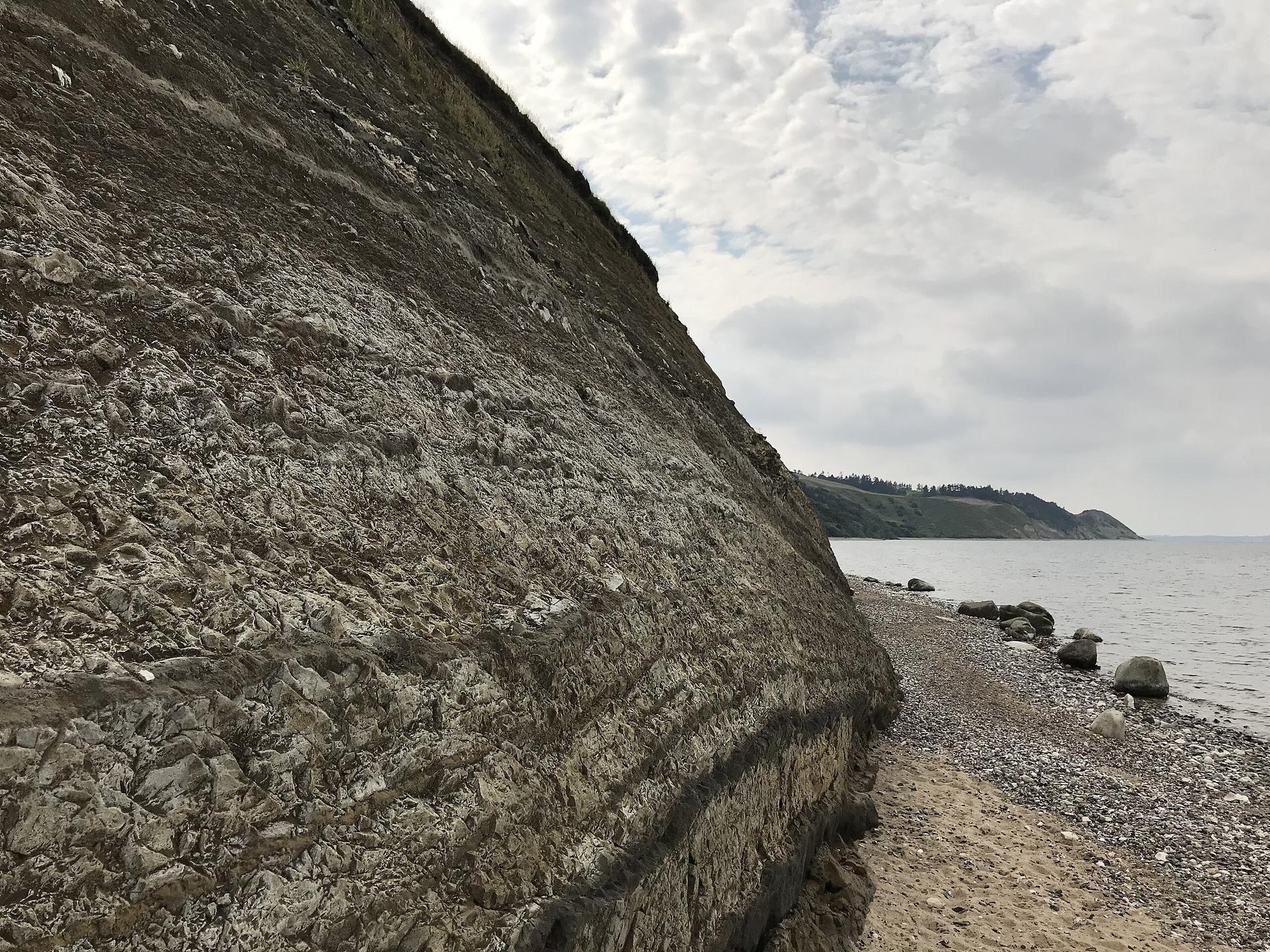
Aggersborg, on the northern shore of the Limfjord near Løgstør, is Denmark’s largest Viking Age ring fortress and a UNESCO World Heritage site. Laid out as a perfect 240 m circle of earth ramparts with four gates and an inner grid of 48 longhouses, it once held thousands of warriors at a key maritime bottleneck. Today the grassy ring, information boards, church and manor nearby create a powerful, windswept landscape where you can walk the ramparts, imagine Harald Bluetooth’s armies and look out over the narrow fjord crossing that made this such a strategic stronghold.
Opening times, essentials, and a few local tips gathered into one calmer, easier-to-scan planning section.
Hi, I'm Eve. Here are a few practical things to know before exploring Aggersborg.
Local know-how to help you travel smarter and make the most of every moment.
Car from Løgstør
From central Løgstør, driving to Aggersborg typically takes about 15–20 minutes, using regional roads that cross the Limfjord at Aggersund. Parking is generally free in the small lot near the fortress, but spaces are limited in high season and larger vehicles may need to use roadside bays. Fuel stations and shops are in Løgstør rather than at the site, so plan stops before or after your visit.
Regional bus within Vesthimmerland
Regional buses in Vesthimmerland connect Løgstør and nearby villages with Aggersund in roughly 20–35 minutes, depending on route and time of day, with adult single fares typically in the range of 25–40 DKK. Services do not run late into the evening and may be less frequent on weekends or holidays, so check current timetables. From the nearest bus stop it is a short, level walk on local roads to the fortress.
Car from Aalborg
Reaching Aggersborg from Aalborg by car usually takes 50–70 minutes via main highways and regional routes, with largely straightforward driving on paved roads. There are no entrance fees or parking charges at the fortress, but you should allow extra time in summer when traffic along the Limfjord corridor can be heavier. The approach roads are suitable for standard vehicles; 4x4 is not required.
Cycling from nearby villages
From villages around Aggersund, confident cyclists can reach Aggersborg in about 20–40 minutes, using a mix of rural roads and local lanes with generally light traffic. The terrain is gently rolling and exposed to wind from the fjord, so conditions can feel more demanding than the distance suggests. There are no dedicated bike facilities at the site, but you can lock a bicycle to fences or railings at your own responsibility.
Catch the right light and the right mood, whether you want a bright city moment or a more cinematic evening visit.


Use Tower Bridge as your starting point for nearby food, family ideas, nightlife, and more local discoveries.
A quick look at seasonal patterns and peak visiting hours.

Explore expert travel guides, compare and book tours, experiences, hotels, and more—all from the palm of your hand. Download now for seamless trip planning wherever your wanderlust takes you.
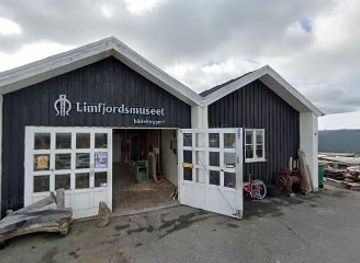
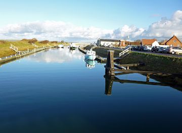
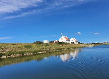
Discover Limfjord in Denmark: A serene waterway offering a blend of nature, culture, and history with charming villages, Viking sites, and vibrant arts scenes.
Tell me more about Limfjord