Ballinastoe Woods
Discover the Enchantment of Ballinastoe Woods

Hike Ireland's iconic Wicklow Way: a 131km trail through mountains, valleys, and historic sites, from Dublin to Clonegal.
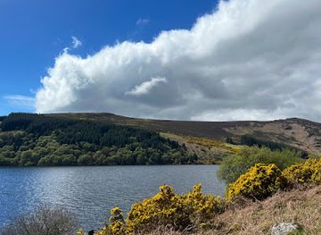
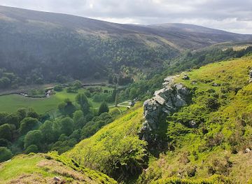
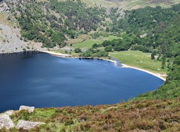
The Wicklow Way, a 131-kilometer (81-mile) trail through the Wicklow Mountains, was Ireland's first official long-distance walking route, established in 1980. Starting just south of Dublin, it winds through diverse landscapes of parkland, forests, and mountains, ending in Clonegal, County Carlow.
Opening times, essentials, and a few local tips gathered into one calmer, easier-to-scan planning section.
Public Transport
To reach the northern trailhead at Marlay Park from Dublin city center, take Dublin Bus route No. 16 from O'Connell Street. The bus stop is conveniently located near the park entrance. A single fare is approximately €2.00 - €3.30, depending on the distance traveled. For those starting at Clonegal, take the Bus Éireann Expressway service from Dublin's Busáras (central bus station) to Waterford, which stops at Kildavin, about 3km from Clonegal. A single fare to Kildavin is approximately €15-€20.
Driving
To reach Marlay Park by car from Dublin city center, follow the M50 motorway and exit at the R113. Follow the signs for Marlay Park. Parking is available at the park, but note that the car park opens at 10:00 AM and closing times vary seasonally. Parking is free. For Clonegal, take the N81 south from Dublin. The journey is approximately 1.5 - 2 hours, depending on traffic. Parking is available on the streets of Clonegal.
Wicklow Way Bus
The Wicklow Way Bus provides services to several points along the trail, including Laragh, Glendalough, Glenmalure and Tinahely. These buses connect with trains arriving at Rathdrum Station from Dublin. Fares vary depending on the destination; for example, a one-way fare to Glendalough or Glenmalure is approximately €8, while a one-way fare to Tinahely is approximately €13. Bookings should be made at least 24 hours in advance.
Use Tower Bridge as your starting point for nearby food, family ideas, nightlife, and more local discoveries.

Explore expert travel guides, compare and book tours, experiences, hotels, and more—all from the palm of your hand. Download now for seamless trip planning wherever your wanderlust takes you.
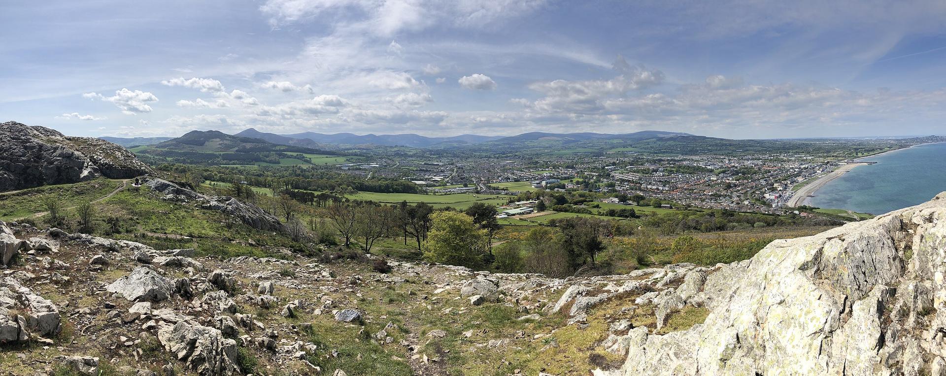
Discover Bray, Ireland's picturesque seaside town, with its scenic promenade, historic landmarks, and vibrant arts scene. Perfect for nature lovers and culture enthusiasts alike.
Tell me more about Bray