Caherdoonerish Stone Fort, County Clare Travel Guide
Explore the ancient Caherdoonerish Stone Fort in County Clare: panoramic views, rich history, and stunning Burren landscape.
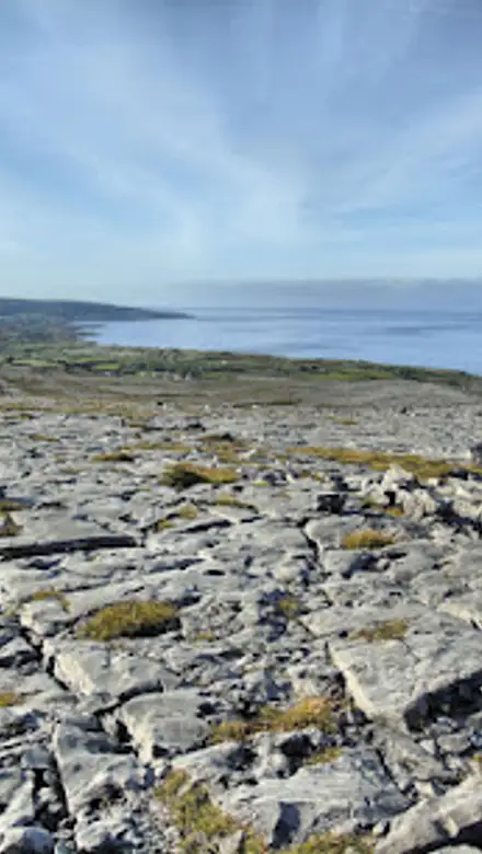
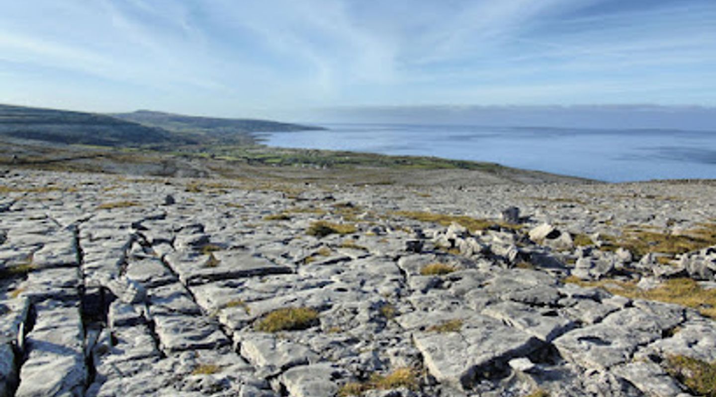
Caherdoonerish Stone Fort, perched high on Gleninagh Mountain in County Clare's Burren region, offers panoramic views and a glimpse into Ireland's ancient past. This unrestored stone fort, likely built between the 6th and 9th centuries, provides a rewarding experience for those who brave the climb.
A brief summary to Caherdoonerish Stone Fort
- Murrooghtoohy North, Co. Clare, IE
- Click to display

Know before you go
Hi, I'm Eve. Here are a few practical things to know before exploring Caherdoonerish Stone Fort.
- Wear sturdy shoes as the climb to the fort can be steep and uneven.
- Bring a camera to capture the stunning panoramic views of Galway Bay and the Aran Islands.
- Check the weather forecast before you go, as the summit can be exposed to the elements.
- Allow at least 1-2 hours for the climb and exploration of the fort.
Do you manage this location?
Take control to get all the benefits, like improved information, better appearance, and stronger visibility across AI-powered discovery. Learn more about listing your business on Evendo
Activate your presenceOther nearby places you may find interesting
The closest places of the same kind, if this one is not quite what you had in mind.
Explore Caherdoonerish Stone Fort on the Map
A handpicked selection of must-see spots near Caherdoonerish Stone Fort, mapped for you.
Getting There
-
Driving
Caherdoonerish Stone Fort is located near Black Head in North Clare. From Ballyvaughan, follow the R477 towards Fanore. Continue past Fanore, following signs for Black Head. Limited informal parking is available in a roadside lay-by near the trailhead. From the lay-by, the fort is accessed via a steep walk. There are no parking fees.
-
Public Transport
While public transport directly to the trailhead is limited, Bus Éireann and TFI Local Link provide service to nearby towns and villages. From Ballyvaughan or Fanore, you can take a taxi or walk to the Black Head area and then proceed to the fort via the trail. Taxi fares from Ballyvaughan to the Black Head area would typically cost around €15-€25. The Burren and Cliffs of Moher Explorer Bus is a free, hop-on, hop-off shuttle that operates from May 1st to August 31st and stops at nearby towns. Check the schedule for stops and connections.
-
Walking
The final approach to Caherdoonerish Stone Fort is on foot. From the roadside parking area near Black Head, a trail leads up the mountain to the fort. The walk is steep in sections and takes approximately 20-40 minutes. Follow the trail, keeping the wall to your left as you ascend. Be prepared for uneven terrain and potentially slippery conditions. There are no fees associated with accessing the trail or the fort.
Discover more about Caherdoonerish Stone Fort
More to explore near Caherdoonerish Stone Fort













Your all‑in‑one travel companion app
Explore expert travel guides, compare and book tours, experiences, hotels, and more—all from the palm of your hand. Download now for seamless trip planning wherever your wanderlust takes you.


Explore More of County Clare
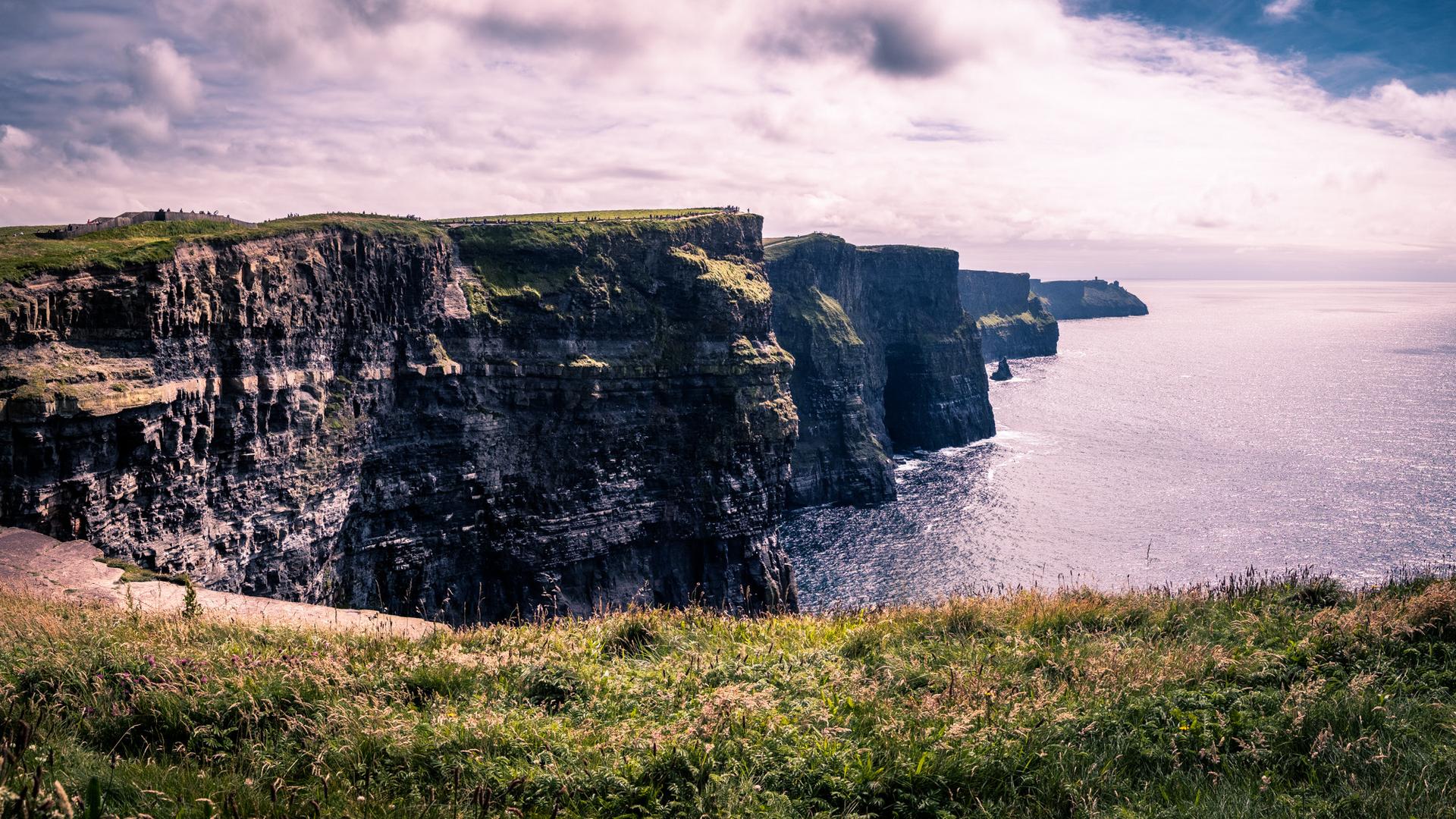
Looking beyond Caherdoonerish Stone Fort? Discover County Clare for broader travel guides, local hot-spots, and regional highlights.
Explore County Clare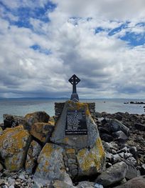
Discover the Lochán Beag Sea Mine Explosion Monument in County Galway, a historical landmark that blends maritime history with stunning natural beauty.

Experience the breathtaking views and rich maritime history at Black Head Lighthouse in Co. Clare, a scenic gem on Ireland’s west coast.