The Natchez Trace Parkway: A Journey Through Time
Discover 10,000 years of history and scenic beauty along this iconic 444-mile byway through Mississippi, Alabama, and Tennessee.
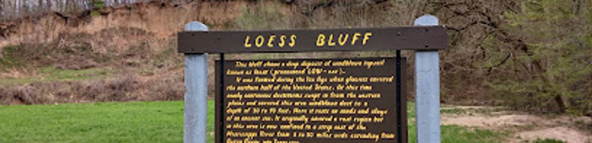
The Natchez Trace Parkway is more than just a road; it's a journey through 10,000 years of North American history. This 444-mile parkway follows the general route of the Old Natchez Trace, a path originally formed by animals and later used by Native Americans, European explorers, traders, and early settlers. The Parkway meanders through the states of Mississippi, Alabama, and Tennessee, offering a diverse landscape of cypress swamps, farmlands, Appalachian foothills, and hardwood forests. Designated as a unit of the National Park System in 1938, the Natchez Trace Parkway commemorates the significance of this historic travel corridor. The Parkway provides a near-continuous greenway from the foothills of Tennessee to the bluffs of the lower Mississippi River. Along the way, travelers can explore numerous historical and archeological sites, including Native American mounds, historic stands (inns), and Civil War battlefields. The Parkway itself is a two-lane road with a speed limit of 50 mph, designed for leisurely travel. Commercial vehicles are prohibited, ensuring a peaceful and scenic driving experience. There are no entrance fees to access the Natchez Trace Parkway. The Natchez Trace Parkway is open 24 hours a day, weather permitting. However, it is best to avoid the Parkway during bad weather.
Local tips
- Take your time! The Natchez Trace Parkway is designed for a leisurely pace, so allow ample time to explore its many sites and scenic overlooks.
- Fill up your gas tank and stock up on snacks before entering the Parkway, as there are no services directly on the road.
- Be aware that cell phone coverage can be spotty along the Parkway, so download maps and information beforehand.
- Check the National Park Service website for alerts and closures before your trip.
- Consider visiting during the spring or fall for the best weather and beautiful foliage.
A brief summary to The Natchez Trace
- 2680 Natchez Trace Pkwy, Tupelo, Mississippi, 38804, US
Getting There
-
Driving
The Natchez Trace Parkway is a scenic route with multiple access points. To reach the Parkway Visitor Center near Tupelo, MS, from downtown Tupelo, take US-45 north. Turn right onto MS-6 W/US-278 W. Continue to follow US-278 W. Turn right onto Natchez Trace Parkway. The Visitor Center will be on your right. There are no fees for driving on the parkway. Parking is available at the Visitor Center.
-
Bicycling
Bicyclists can access the Natchez Trace Parkway at various points. Cyclists should be aware of the narrow lanes and limited shoulders. The Natchez Trace Parkway is a designated bicycle route. There are also five bicycle-only campgrounds along the Parkway. Bicyclists starting on the northern end of the Trace and biking south on the parkway are encourage to park their cars at the Garrison Creek Comfort Station.


