From Eve
Know before you go
Hi, I'm Eve. Here are a few practical things to know before exploring White River Trace Historical Marker.
Local know-how to help you travel smarter and make the most of every moment.

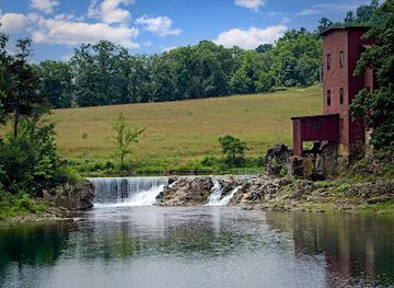
Commemorating a historic route through Missouri, the White River Trace marks a poignant segment of the Trail of Tears and westward expansion.
The White River Trace Historical Marker commemorates a significant route in Missouri history, initially surveyed in 1835 and established as a post road in 1854. More notably, it served as a segment of the Trail of Tears, the forced migration of Cherokee Indians in the late 1830s.
Opening times, essentials, and a few local tips gathered into one calmer, easier-to-scan planning section.
Hi, I'm Eve. Here are a few practical things to know before exploring White River Trace Historical Marker.
Local know-how to help you travel smarter and make the most of every moment.
Driving
The White River Trace Historical Marker is located near Salem, MO. From Salem, travel along State Highway 19. The marker is located approximately 0.7 miles south of County Road 415 on the right side of the highway when traveling south. There are no tolls on this route, and parking is available at the marker.
Use White River Trace Historical Marker as your starting point for nearby food, family ideas, nightlife, and more local discoveries.


Explore expert travel guides, compare and book tours, experiences, hotels, and more—all from the palm of your hand. Download now for seamless trip planning wherever your wanderlust takes you.
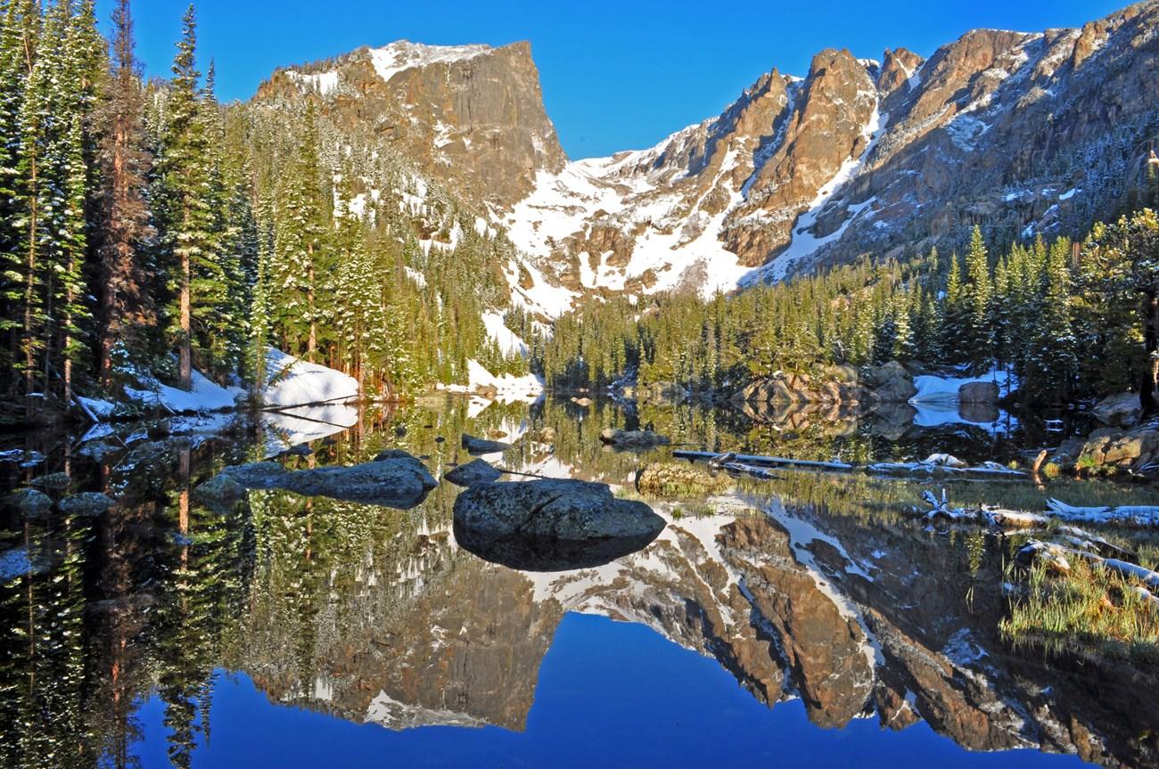
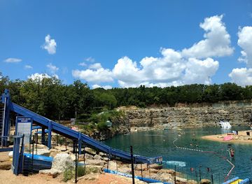
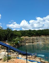
Discover the White River Basin in Missouri: A stunning destination with pristine lakes, lush landscapes, and endless outdoor activities for nature lovers and adventurers.
Tell me more about White River Basin