From Eve
Know before you go
Hi, I'm Eve. Here are a few practical things to know before exploring McArt's Fort.
Local know-how to help you travel smarter and make the most of every moment.

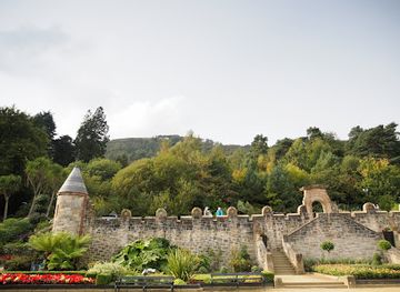
Explore the ancient Iron Age McArt's Fort atop Cave Hill, where history meets panoramic views over Belfast and beyond.
McArt's Fort is an ancient ringfort perched on a rocky promontory at the summit of Cave Hill near Newtownabbey, Northern Ireland. Dating back to the Iron Age, this historical landmark offers panoramic views over Belfast and beyond. The fort features a deep defensive ditch and steep cliffs, with a nearly level interior plateau. It is steeped in local legend and history, including ties to the 1798 United Irishmen rebellion.
Opening times, essentials, and a few local tips gathered into one calmer, easier-to-scan planning section.
Hi, I'm Eve. Here are a few practical things to know before exploring McArt's Fort.
Local know-how to help you travel smarter and make the most of every moment.
Bus
Take Metro bus number 1A or 1B from Belfast city center to the Cave Hill Country Park area near Belfast Zoo; the journey takes approximately 30 to 40 minutes. Buses run frequently during the day but check schedules for weekend service. From the park entrance, expect a 30-minute walk on marked trails to reach McArt's Fort.
Car
Driving from Belfast city center to Cave Hill Country Park takes about 20 minutes. Parking is available at several park entrances including Innisfayle Park and Hazelwood near Belfast Zoo. Note that the final approach to McArt's Fort involves hiking on uneven terrain, so suitable footwear is recommended.
Walking
For the adventurous, hiking from Belfast Castle through Cave Hill Country Park to McArt's Fort is a scenic 4.5-mile circular route taking around 2 to 3 hours. The trail includes steep and rocky sections requiring good fitness and sturdy shoes.
Use McArt's Fort as your starting point for nearby food, family ideas, nightlife, and more local discoveries.
A quick look at seasonal patterns and peak visiting hours.

Explore expert travel guides, compare and book tours, experiences, hotels, and more—all from the palm of your hand. Download now for seamless trip planning wherever your wanderlust takes you.
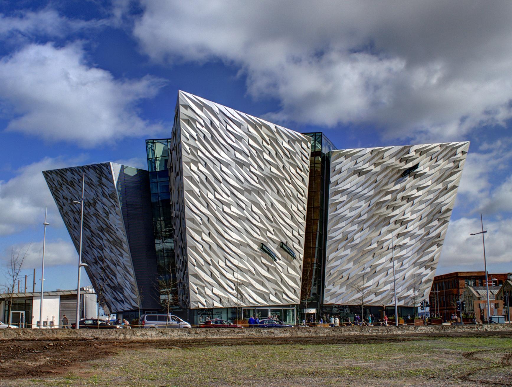
Discover Belfast: A city where history meets modernity, offering rich cultural experiences, scenic beauty, and a vibrant arts scene in the heart of Northern Ireland.
Tell me more about Belfast