From Eve
Know before you go
Hi, I'm Eve. Here are a few practical things to know before exploring Watling St.
Local know-how to help you travel smarter and make the most of every moment.
Follow the ancient Roman road that shaped London’s history, once a frontier, battlefield approach, and boundary between kingdoms and boroughs.
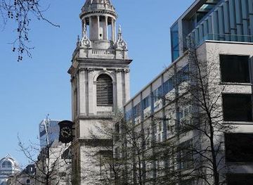
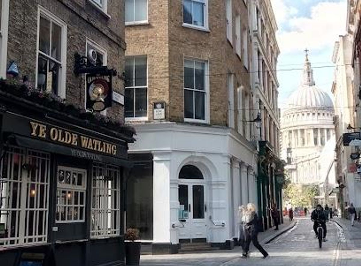
Watling Street in London traces one of Britain’s oldest and most historically significant routes, originally a prehistoric trackway later paved by the Romans. Running diagonally across the capital, it formed a key artery for military, trade, and cultural movement for centuries. Today, its path is embedded in modern roads such as the A2 and stretches through Southwark and the City, with archaeological remains occasionally uncovered beneath the pavement. It’s a living piece of London’s layered history, once a frontier, a battlefield approach, and a boundary between kingdoms and later boroughs.
Opening times, essentials, and a few local tips gathered into one calmer, easier-to-scan planning section.
Hi, I'm Eve. Here are a few practical things to know before exploring Watling St.
Local know-how to help you travel smarter and make the most of every moment.
Public Transport
Take the London Underground to London Bridge or Borough station on the Jubilee line; from there, walk southeast along Borough High Street and the Old Kent Road, which follow the historic line of Watling Street through Southwark.
Walking
From central London, walk southeast from London Bridge along Borough High Street and continue along the Old Kent Road; this stretch closely follows the Roman route of Watling Street and takes about 20–30 minutes from the bridge to the area where recent excavations have revealed the Roman road.
Bus
Several bus routes run along the Old Kent Road and Borough High Street, such as the 171 and 185; these follow the historic Watling Street corridor and provide easy access to the section of the route in Southwark.
Catch the right light and the right mood, whether you want a bright city moment or a more cinematic evening visit.


Use Tower Bridge as your starting point for nearby food, family ideas, nightlife, and more local discoveries.
A quick look at seasonal patterns and peak visiting hours.

Explore expert travel guides, compare and book tours, experiences, hotels, and more—all from the palm of your hand. Download now for seamless trip planning wherever your wanderlust takes you.
Explore London: A city of iconic landmarks, rich history, vibrant culture, and endless attractions that cater to every taste, making it a must-visit destination.
Tell me more about London