
Watling Street: Ancient Artery of Roman Britain
Discover Watling Street, the ancient Roman road that shaped Britain’s history, culture, and urban landscape from London to the northwest.
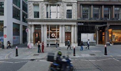
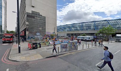
Watling Street is a historic Roman road running diagonally across England, originally a Celtic trackway paved and expanded by the Romans after their invasion in 43 CE. It played a pivotal role in military campaigns, trade, and territorial boundaries, including the site of Queen Boudica's final battle. Today, remnants of Watling Street lie beneath modern roads in London, reflecting its enduring legacy as a vital transport route and cultural landmark.
A brief summary to Watling St
- London, GB
- Duration: 0.5 to 3 hours
- Free
-
 Outdoor
- Mobile reception: 5 out of 5
Local tips
- Explore archaeological sites in Southwark to see uncovered sections of the original Roman road beneath modern streets.
- Walk or cycle along parts of Watling Street’s route in Milton Keynes to experience its alignment with the summer solstice sunrise.
- Visit local museums or heritage centers in London for exhibits on Roman Britain and Watling Street’s role in history.
- Consider guided walking tours focusing on Roman London and ancient roads to gain deeper historical insights.
For the on-the-go comforts that matter to you
- Restrooms
- Drink Options
- Food Options
- Seating Areas
- Information Boards
Getting There
-
London Underground
Take the London Underground to Bank or London Bridge stations, both within 1.5 to 2 km of central Watling Street locations. The journey from central London takes approximately 10–20 minutes. Stations are wheelchair accessible, and fares range from £2.50 to £5.00 depending on zones and ticket type.
-
Bus Service
Several London bus routes serve areas along or near Watling Street, including routes 26, 76, and 172. Travel times vary between 20 and 40 minutes from central London. Buses operate frequently during the day, with Oyster and contactless payments accepted. Note that some stops may require walking up to 500 meters on urban pavements.
-
Walking
From central London landmarks such as St. Paul’s Cathedral or the Tower of London, walking to Watling Street takes approximately 25–40 minutes over mostly flat, paved urban terrain. The route is accessible for most pedestrians but may include busy streets and crossings.
Watling St location weather suitability
-
 Any Weather
-
 Rain / Wet Weather
-
 Clear Skies
-
 Mild Temperatures
Discover more about Watling St
Origins and Roman Engineering Mastery
Watling Street began as a broad track used by indigenous Britons long before the Roman invasion of Britain in 43 CE. Recognizing its strategic importance, the Romans paved and widened the route to facilitate the movement of troops and goods across their newly conquered territory. Stretching from Dover through London and northwest to Wroxeter, it became one of the most significant arterial roads in Roman Britain. The Romans employed advanced engineering techniques, layering gravel, chalk, and compacted sand to create a durable and well-drained surface that supported military logistics and administration.Historic Battles and Political Boundaries
Watling Street is famously linked to the Battle of Watling Street (circa 60-61 CE), where Roman forces decisively defeated the Iceni queen Boudica’s rebellion, securing Roman control over southern England. The exact location remains debated but is believed to be somewhere along the stretch between London and Wroxeter. In later centuries, the road served as a boundary line between Anglo-Saxon and Danish territories, notably marking the southwestern border of the Danelaw after agreements between Alfred of Wessex and Viking ruler Guthrum. This legacy as a cultural and political boundary persists in parts of modern England.Endurance Through Time and Urban Layers
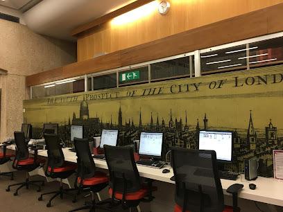
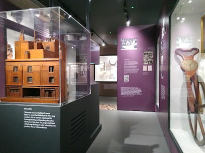
Despite falling into disrepair after the Roman withdrawal, Watling Street remained a vital route through the medieval and Victorian eras, evolving into a toll road and later benefiting from macadam road construction. Archaeological excavations in London’s Southwark area have uncovered well-preserved layers of the original Roman road beneath modern streets, revealing the road’s construction phases and its impressive scale. These discoveries highlight Watling Street’s continuous use and adaptation over nearly two millennia.Modern Significance and Cultural Imprint
Today, Watling Street forms part of the A5 highway and marks boundaries between London boroughs such as Harrow, Brent, Camden, and Barnet. Its alignment influenced urban planning, notably in Milton Keynes, where the town grid was oriented to follow the ancient road, aligning with the summer solstice sunrise. Watling Street also played a role in 20th-century history as a route for the 1913 suffragette march advocating women’s voting rights. Its enduring presence in literature, archaeology, and cultural memory underscores its importance beyond mere transportation.Walking and Exploring Watling Street
Sections of Watling Street remain accessible for walking, offering routes through both rural and urban landscapes. Walks from Stony Stratford to nearby villages showcase the road’s historical footprint and natural surroundings. The Redway cycling and walking path follows parts of the ancient route, inviting exploration of this historic artery that shaped Britain’s development.Legacy of a Roman Road in Contemporary London
In London, Watling Street’s course is partially obscured beneath modern infrastructure, yet ongoing archaeological work continues to reveal its course and construction. The road’s layers tell a story of continuous human activity, from Roman military campaigns to present-day urban life. As a symbol of connectivity and endurance, Watling Street remains a tangible link to Britain’s ancient past embedded within the fabric of the capital.Iconic landmarks you can’t miss
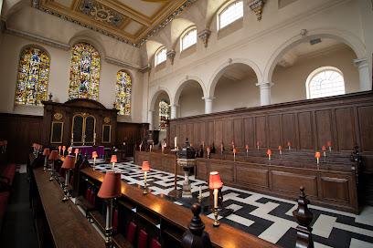
St Michael's Church : Paternoster Royal
0.3 km
Historic Anglican church on College Hill, rebuilt by Wren and linked to Dick Whittington, featuring stunning stained glass and a Hawksmoor spire.

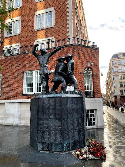
The National Firefighters Memorial
0.3 km
A solemn tribute in London honoring the bravery and sacrifice of firefighters who served during the Blitz and beyond.
Historic England
0.4 km
Discover the rich tapestry of England's history at Historic England, a key organization dedicated to preserving the nation’s architectural treasures.
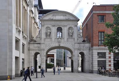
Temple Bar London
0.4 km
Explore Temple Bar, London’s historic ceremonial gateway rebuilt by Christopher Wren, rich with royal heritage and striking 17th-century architecture.
London Stone (remaining part)
0.4 km
Discover London Stone, the ancient and mysterious limestone relic at 111 Cannon Street, a symbol of London's enduring history and legend.

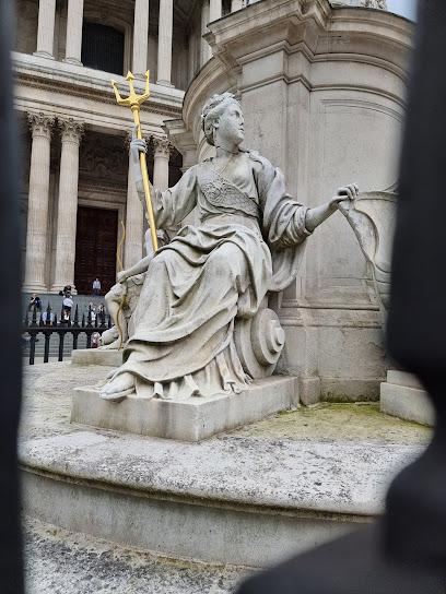
Queen Anne Statue
0.4 km
Historic statue commemorating Queen Anne’s reign and the completion of St. Paul’s Cathedral, symbolizing Britain’s royal heritage and resilience.
113 Cannon St
0.4 km
A distinguished Grade II listed classical building in London’s financial district, showcasing early 20th-century architectural elegance.
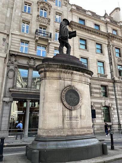
Statue of James Henry Greathead
0.4 km
Discover the statue honoring James Henry Greathead, the engineer whose invention shaped London's iconic Underground tunnels.
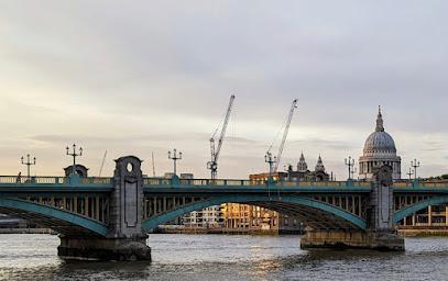
Southwark Bridge
0.5 km
A graceful steel-arched Thames crossing with a rich history, distinctive green-and-yellow detailing, and a key role in London’s illuminated river landscape.
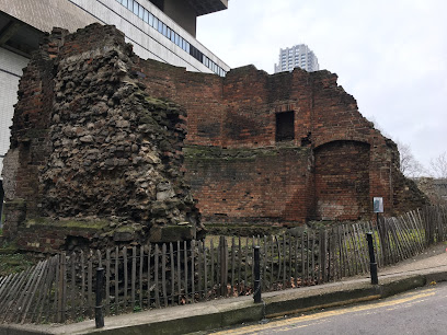
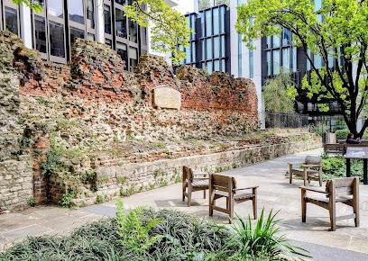
London City Wall - Bastion 14
0.5 km
Explore Bastion 14, a medieval bastion built on Roman foundations, revealing centuries of London’s ancient city defenses in the Barbican.
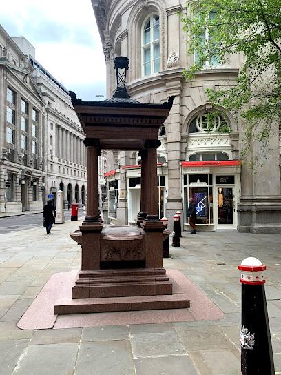
Cornhill Fountain
0.6 km
A historic cast-iron water pump outside the Royal Exchange, symbolizing centuries of London's civic pride and public health innovation.
Bankside
0.6 km
London's cultural riverside gem where world-class art, historic theatres, and Thames views converge in a vibrant South Bank neighbourhood.
London City wall
0.6 km
Explore the ancient Roman and medieval London City Wall, a monumental symbol of the city’s enduring history and resilience.

Roman London Wall (St Alphage Garden Section)
0.6 km
Explore the ancient Roman and medieval layers of London's historic city wall nestled within the peaceful St Alphage Garden in Barbican.
Threadneedle St
0.6 km
Historic Threadneedle Street: London’s iconic financial artery, home to the Bank of England and centuries of economic heritage.
Unmissable attractions to see
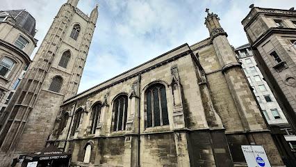
St Mary-le-Bow Church
0.1 km
Discover St Mary-le-Bow, the iconic Wren church on Cheapside, home to the legendary Bow Bells and centuries of London history.

St Mary Aldermary
0.1 km
Discover St Mary Aldermary, a rare 17th-century Gothic Revival church by Wren’s office, blending medieval roots with stunning architecture in London’s City.
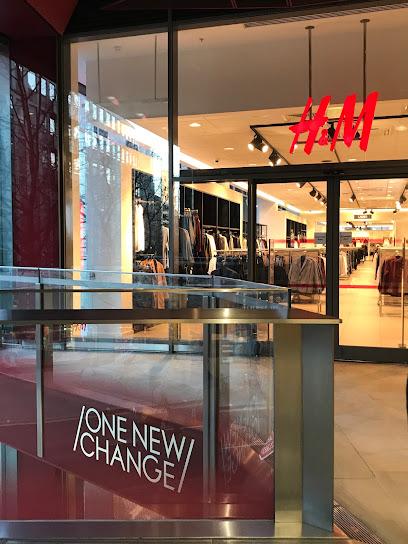
One New Change
0.1 km
Discover premier shopping, dining, and stunning rooftop views of St Paul's Cathedral in the heart of London's financial district.
Bloomberg Arcade
0.2 km
A vibrant blend of independent dining, public art, and Roman history in the heart of London’s Square Mile.
Queen Victoria St
0.2 km
A historic and vital City of London street linking iconic landmarks with Victorian-era urban vision and modern financial life.
St James Garlickhythe
0.2 km
Discover the historical significance and architectural beauty of St James Garlickhythe, a serene Anglican church in the heart of London.

St Vedast alias Foster
0.2 km
A historic City of London church blending medieval roots, Wren’s baroque spire, and wartime resilience in a tranquil urban sanctuary.
City of London
0.3 km
Discover the City of London’s unique fusion of ancient history and modern finance in the vibrant Square Mile.
1 Poultry
0.3 km
A striking postmodern landmark in London’s financial heart, blending bold design, rich history, and panoramic rooftop views.
St Lawrence Jewry
0.3 km
Discover St Lawrence Jewry, Wren’s exquisite 17th-century guild church and the official sanctuary of London’s Lord Mayor, rich in history and serene beauty.

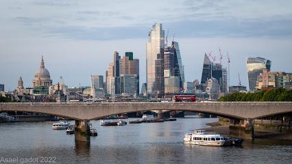
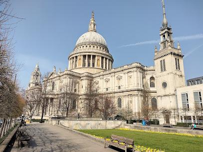
St. Paul's Cathedral
0.3 km
Explore the architectural beauty and spiritual significance of St. Paul's Cathedral, a must-visit landmark in the heart of London, offering stunning views and rich history.
London Mithraeum Bloomberg SPACE
0.3 km
Discover the ancient Roman Temple of Mithras beneath Bloomberg’s headquarters in a captivating blend of archaeology, immersive art, and history in London’s heart.

Guildhall Library
0.3 km
Discover London’s history through the world’s largest city-focused library, housed within the historic Guildhall complex.
St Stephen Walbrook
0.3 km
Discover the serene beauty and historic grandeur of St Stephen Walbrook, Wren’s architectural gem with its iconic dome and modern artistic altar.

The City Of London Police Museum
0.3 km
Explore the rich history of London's oldest police force within the City’s historic Guildhall complex.
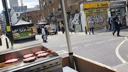
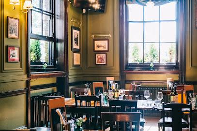
Essential places to dine
Madison
0.1 km
Stylish rooftop dining and cocktails with breathtaking views of St Paul’s Cathedral and London’s skyline.
14 Hills
0.9 km
Experience modern British cuisine in a lush, sky-high garden with breathtaking panoramic views over London’s iconic skyline.
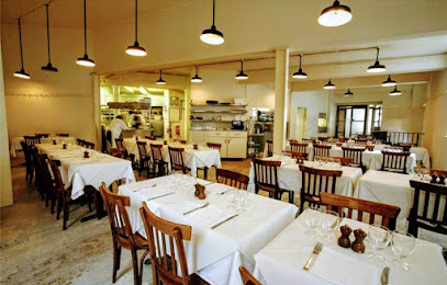
St. John
0.9 km
Experience authentic British nose-to-tail dining in the heart of London’s Barbican at St. John, where tradition meets modern culinary artistry.
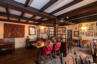
George
1.0 km
Step into London’s last galleried coaching inn, where history, hearty ales, and a lively courtyard blend in a timeless pub experience.
Sea Containers Restaurant
1.0 km
Stylish Modern British dining with iconic Thames views on London’s vibrant Southbank, perfect for brunch, dinner, and special occasions.
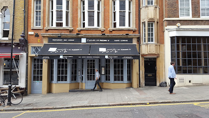
Dans le Noir ? London Restaurant
1.1 km
Experience dining like never before in total darkness, guided by visually impaired waitstaff in a sensory adventure at Dans le Noir ? London.
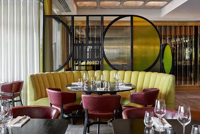
La Dame de Pic London
1.2 km
Discover refined French gastronomy and elegant dining in a historic London landmark with two Michelin stars and innovative cuisine.
Paradiso Burger & Cocktail Bar Southbank
1.2 km
Vibrant riverside spot in Southbank serving gourmet burgers, cocktails, and bottomless brunch with stunning Thames views.
Marugame Udon Middlesex Street
1.2 km
Experience freshly handcrafted Japanese udon and crispy tempura in a lively open kitchen setting at Marugame Udon Middlesex Street, London’s authentic udon destination.

Barcelona Tapas Bar & Restaurant
1.3 km
Authentic Spanish tapas and warm hospitality in the heart of London’s City since 1991.
Mattarello Chiodo Bolognese Restaurant
1.3 km
Authentic Bolognese pasta and gluten-free Italian delights in the heart of London’s Middlesex Street.
Ikoyi Restaurant
1.4 km
Discover Ikoyi, London’s two-Michelin-starred restaurant blending bold West African spices with British ingredients in an elegant, sensory tasting journey.
Restaurant Story
1.6 km
Experience a two Michelin-starred culinary journey where storytelling meets British fine dining in the heart of London Bridge.
Brasserie Blanc - Southbank
1.6 km
Authentic French brasserie dining with hearty seasonal dishes and rustic charm on London’s lively South Bank.
Wahaca Southbank
1.7 km
Experience vibrant Mexican street food in a unique riverside setting with scenic Thames views and lively atmosphere at Wahaca Southbank.
Markets, malls and hidden boutiques
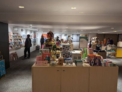
Barbican Shop
0.8 km
Discover curated art, design, music, and unique gifts at the Barbican Shop, a creative retail haven within London’s iconic Barbican Centre.
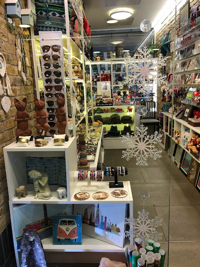
Bankside Arches Boutique
0.8 km
Discover unique London gifts and handcrafted treasures inside Blackfriars Station’s charming Bankside Arches Boutique.
Borough Yards
0.8 km
Discover Borough Yards, a lively London district blending historic railway arches with cutting-edge shopping, dining, and culture near Borough Market.
Smithfield Market
0.8 km
London’s oldest wholesale meat market, where history and commerce meet in the heart of the city.
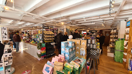
SUCK UK Alternative Gifts (OXO Tower)
1.1 km
Discover quirky, clever gifts and homewares at SUCK UK’s flagship store in London’s iconic OXO Tower.
Brand Academy Independent Gift Shop
1.1 km
Dive into a world of whimsical designs and unique finds at this South Bank gem, where global brands meet emerging talents in the heart of Oxo Tower Wharf.
Hay's Galleria
1.1 km
Historic riverside warehouse transformed into a vibrant shopping and dining destination beneath a stunning glass roof.
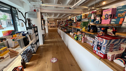
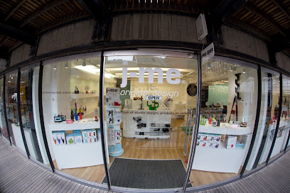
j-me original design ltd
1.1 km
Whimsical designs with a humorous twist from London's Oxo Tower creative hub – quirky home gifts blending fun, function, and British ingenuity.
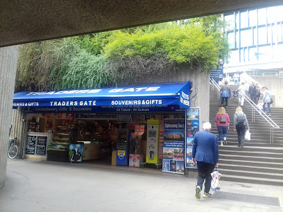
Traders Gate
1.2 km
A long-standing family-run gift shop on Tower Hill, offering classic London souvenirs and local charm just steps from the Tower of London.
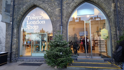
Tower of London Shop
1.2 km
Explore the Tower of London Shop for unique souvenirs that celebrate British heritage and history in the heart of London.
Sugar And Style
1.2 km
Discover design-led fashion accessories in Gabriel's Wharf, London's arty South Bank riverside haven blending style, creativity, and Thames views.

Middlesex Textiles
1.3 km
Discover London’s premier West African fabric store offering vibrant, high-quality textiles with unmatched variety and service since 1969.
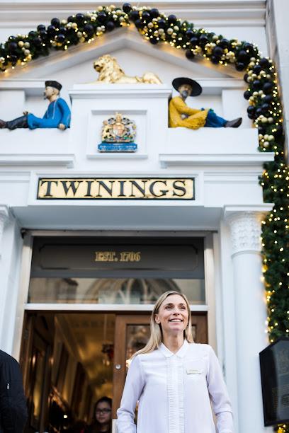
Twinings - The Strand
1.3 km
Discover over 300 years of tea heritage at London’s oldest tea shop, featuring historic charm, premium tastings, and a unique museum experience.
Petticoat Lane Market
1.3 km
London's historic street market where 370 years of commerce, migration, and East End character converge.
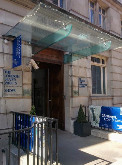
London Silver Vaults
1.3 km
The world's largest underground marketplace for fine antique and contemporary silver, hidden beneath historic Chancery Lane.
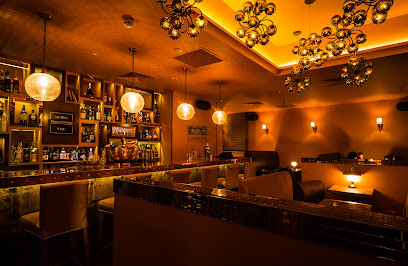
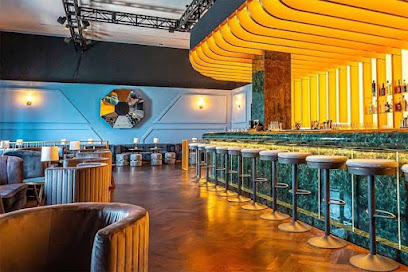
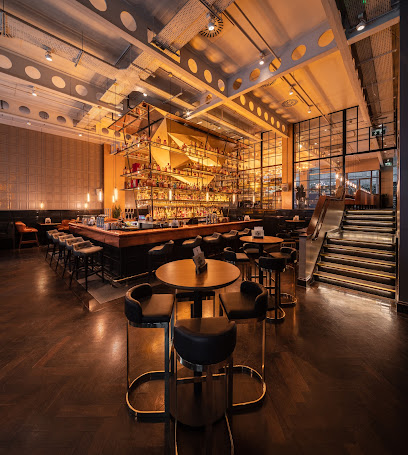
Essential bars & hidden hideouts
Demon, Wise & Partners
0.6 km
Classic basement cocktail bar blending historic City charm with expert mixology in London’s financial district.
The Cocktail Club - Cocktail Bar near Monument
0.6 km
Vibrant underground cocktail bar near Monument, blending creative drinks with a lively, speakeasy-style party atmosphere.
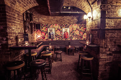
Black Parrot
0.7 km
Discover London’s top rum bar with expertly crafted cocktails, immersive masterclasses, and a lively yet intimate atmosphere in Bride Court.
Punch Tavern
0.7 km
Historic Victorian Gin Palace on Fleet Street, famed for its Punch magazine heritage and vast gin selection in the heart of London.
The Bootlegger
0.8 km
Step into The Bootlegger’s hidden Lime Street basement for expertly crafted cocktails, live jazz, and a true 1920s speakeasy vibe in the heart of London.
Doggett's Coat and Badge
0.9 km
A large, riverside Nicholson’s pub on Blackfriars Bridge offering classic British fare, real ales and a rooftop terrace with strong Thames views.
Lyaness
1.0 km
Innovative cocktails and sustainable mixology with stunning Thames views in London’s stylish South Bank hotspot.
The Hung Drawn & Quartered, EC3
1.0 km
Historic pub near Tower Hill, blending dark medieval history with refined ales and classic British fare in a Grade II listed building.
The Alchemist Bevis Marks
1.1 km
Experience London’s theatrical cocktail haven blending molecular mixology with Victorian charm and all-day dining in Aldgate.
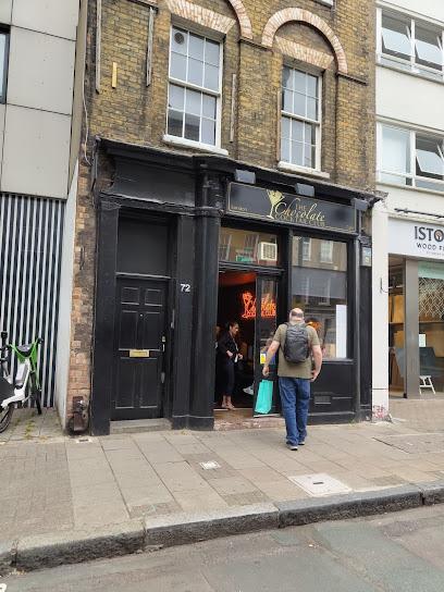
The Chocolate Cocktail Club
1.1 km
London’s intimate chocolate cocktail bar blending rich flavors, stylish ambiance, and over 20 unique chocolate-infused drinks.
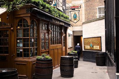
Ye Olde Mitre, Holborn
1.1 km
Discover Ye Olde Mitre, a hidden Tudor-era pub in Holborn where history, legend, and cozy charm converge in a secret London alley.
Flight Club Shoreditch
1.1 km
Experience the vibrant social darts scene with great food, cocktails, and fun at Flight Club Shoreditch in East London.
Aviary
1.1 km
Elegant rooftop dining with botanical cocktails and panoramic London skyline views in the heart of Finsbury Square.
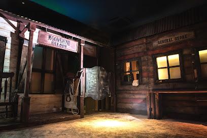
Moonshine Saloon
1.1 km
Step into London’s Moonshine Saloon for an immersive Wild West cocktail adventure with live actors, games, and bespoke drinks made from your own spirits.
Dirty Dicks
1.2 km
Historic London pub with quirky charm, classic ales, and lively atmosphere near Liverpool Street Station.
Nightclubs & after hour spots
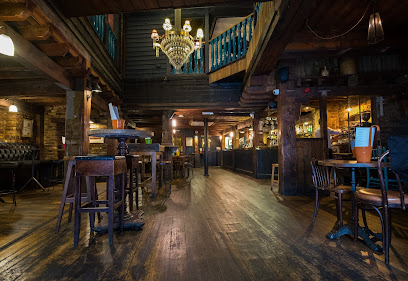
The Steel Yard
0.4 km
Experience London’s premier industrial-chic nightclub set in historic Victorian railway arches, with world-class sound and late-night energy until 6am.
London Best Night Clubs
1.2 km
Experience London’s legendary Ministry of Sound, where cutting-edge sound meets dynamic club culture in a multi-room dance haven.
XOYO LONDON
1.5 km
Experience Shoreditch’s iconic XOYO, where cutting-edge DJs and vibrant nightlife create an unforgettable London clubbing atmosphere.

The Hoxton Pony
1.7 km
Edgy Shoreditch cocktail bar and nightclub blending vintage style with vibrant nightlife energy in East London.

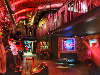
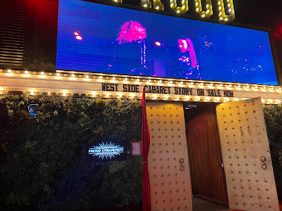
Proud Late
1.7 km
Dive into two-storey glamour under Waterloo Bridge: cabaret acrobatics, burlesque dazzle, supper feasts, and non-stop clubbing till 5am in London's West End nightlife epicenter.
Ministry of Sound
1.8 km
London's legendary dance music cathedral since 1991, where world-class sound systems and global DJs fuel euphoric nights across four pulsing rooms.

Trafik
1.8 km
Shoreditch’s dynamic nightclub with underground beats, two floors of dancing, and a late licence for unforgettable nights.

Carwash Nightclub
1.8 km
Experience Europe’s longest-running disco club in London’s West End, where retro beats, vibrant crowds, and themed parties create unforgettable nights.

Cirque Du Soul
1.9 km
Dive into Leake Street's graffiti tunnel for soul-stirring electronic nights at this underground nightclub haven.
We Are Waterloo
1.9 km
Dive into Leake Street's graffiti heart where street art meets thumping beats in London's ultimate underground nightclub haven.

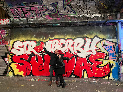
STRAWBERRY SUNDAE
1.9 km
Retro rave haven in Waterloo Arches: Daytime hardcore beats, 90s DJ legends, and industrial euphoria from midday to midnight.
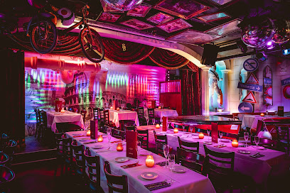
Bunga Bunga Covent Garden
2.0 km
A neon-soaked, pizza-and-karaoke supper club under Drury Lane — 90s nostalgia, stage shows and shareable Italian feasts.
Basing House - Shoreditch
2.1 km
An intimate Shoreditch nightclub with top electronic beats, a Funktion One sound system, and a lively rooftop bar under the London skyline.

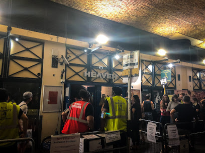
Heaven
2.1 km
London’s iconic gay superclub under the railway arches — big nights, loud music, drag, and late finishes in the heart of the West End.
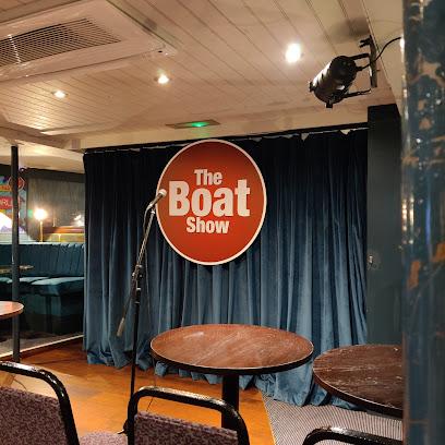
The Boat Show Comedy Club
2.2 km
London’s premier floating comedy club aboard the historic Tattershall Castle, blending laughter with iconic riverside views and vibrant nightlife.
For the vibe & atmosphere seeker
- Historic
- Scenic
- Tranquil
- Unique
- Casual
For the design and aesthetic lover
- Vintage Styles
For the architecture buff
- Historic
- Landmarks
- Heritage Neighborhoods
For the view chaser and sunset hunter
- Iconic Views
For the social media creator & influencer
- Instagrammable
- Photo Spots
- Architectural Shots
For the eco-conscious traveler
- Public-Transport Accessible
- Low Impact
For the kind of experience you’re after
- Cultural Heritage
- Photowalk
- Day Trip
- Weekend Getaway
For how adventurous you want the journey to be
- Easy Access
Location Audience
- Family Friendly
- Senior Friendly
- Child Friendly
- Teen Friendly
- Wheelchair Access
- Solo Friendly
- Couple Friendly


