From Eve
Know before you go
Hi, I'm Eve. Here are a few practical things to know before exploring Sugarloaf Mountain.
Local know-how to help you travel smarter and make the most of every moment.

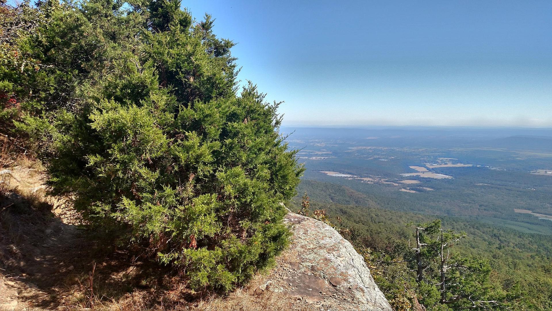
Hike to panoramic views atop Sugarloaf Mountain in Heber Springs, Arkansas, a natural landmark with trails for all skill levels.
Rising 690 feet above the surrounding landscape, Sugarloaf Mountain near Heber Springs, Arkansas, offers stunning panoramic views and a glimpse into the region's geological history. With several hiking trails catering to different skill levels, it's a popular destination for outdoor enthusiasts.
Opening times, essentials, and a few local tips gathered into one calmer, easier-to-scan planning section.
Hi, I'm Eve. Here are a few practical things to know before exploring Sugarloaf Mountain.
Local know-how to help you travel smarter and make the most of every moment.
Driving
From Heber Springs, head east on Highway 110 (also known as W Searcy Street). Continue for approximately 2 miles, then turn left onto Trailhead Road. Follow Trailhead Road to the parking area at the base of Sugarloaf Mountain. Parking is free. Be aware that parking may be limited during peak times.
Walking
From downtown Heber Springs, follow Main Street east towards the Cleburne County Courthouse. Continue onto W Searcy Street/Highway 110 and walk east for approximately 2 miles. Turn left onto Trailhead Road and follow it to the parking area at the base of Sugarloaf Mountain. The walk is roughly 3 miles and will take about an hour. There are no sidewalks for a portion of the walk.
Use Tower Bridge as your starting point for nearby food, family ideas, nightlife, and more local discoveries.

Explore expert travel guides, compare and book tours, experiences, hotels, and more—all from the palm of your hand. Download now for seamless trip planning wherever your wanderlust takes you.
Discover Arkansas Valley: Explore stunning landscapes, vibrant culture, and endless outdoor adventures nestled between the Ozark and Ouachita Mountains.
Tell me more about Arkansas Valley