Sunset Trail: Hot Springs' Longest Hike
Explore the wilder side of Hot Springs National Park on its longest and most rewarding trail, with varied terrain and stunning views.
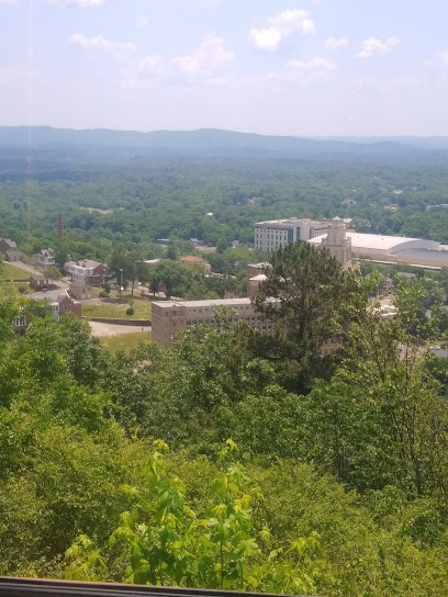
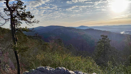
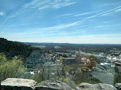
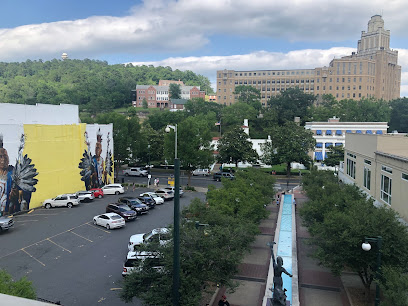
The Sunset Trail is the longest and most challenging trail within Hot Springs National Park, offering a dynamic hiking experience through varied terrains and remote areas. This 10-mile one-way trail, or 13-17 mile loop, provides stunning views and a chance to immerse yourself in the natural beauty of the park.
A brief summary to Sunset Trail
- 201 Martingale Dr, Hot Springs National Park, Hot Springs National Park, Arkansas, 71901, US
Local tips
- Bring plenty of water, especially during warmer months, as the trail is long and can be strenuous.
- Wear sturdy hiking shoes due to the varied and sometimes rocky terrain.
- Pay attention to the orange blazes marking the trail to avoid getting lost or trespassing on private property.
- Consider breaking the trail into smaller sections if you're not up for the full 10-17 mile hike.
- Check the weather forecast before you go and be prepared for changing conditions.
Getting There
-
Driving
To access the Sunset Trail from downtown Hot Springs, head west on US-70 W/US-270 W. Depending on which section you want to hike, you have several options. For the West Mountain section, continue on US-270 W to West Mountain Summit Road. For the Sugarloaf Mountain section, continue on US-270 W to Blacksnake Road. For the Stonebridge Road section, take US-270 W to Cedar Glades Road or continue to Gulpha Gorge Campground. Parking is available at trailheads along these roads. Parking is free at the trailheads.
-
Walking
If starting from Bathhouse Row, you can access the Sunset Trail via connecting trails like the Hot Springs Mountain Trail and the West Mountain Trail. From the Fordyce Bathhouse Visitor Center, walk west along Fountain Street, then connect to the trails leading up to Hot Springs Mountain and West Mountain. Follow signs for the Sunset Trail. This will add considerable distance and elevation gain to your hike.
Discover more about Sunset Trail
Iconic landmarks you can’t miss
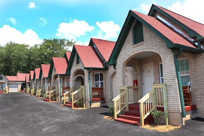
Best Court
0.9 km
Experience the unique blend of history and comfort at Best Court Hotel in Hot Springs, Arkansas, where charming cottages meet natural beauty.
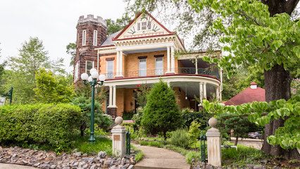
1890 Williams House Bed & Breakfast
0.9 km
Experience Southern hospitality at the 1890 Williams House Bed & Breakfast, a charming retreat in Hot Springs, Arkansas, blending history and modern comfort.
The Courthouse Chapel
1.1 km
Discover The Courthouse Chapel in Hot Springs, a picturesque wedding venue that offers elegance and charm for your special day amidst Arkansas' natural beauty.

Pale Horse Tattoo
1.3 km
Hot Springs' premier tattoo shop offering custom designs and a commitment to quality and safety for a memorable body art experience.
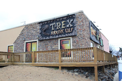
T-Rex Golf
1.3 km
Embark on a thrilling indoor mini-golf adventure amidst life-sized dinosaurs and vibrant Jurassic scenery in Hot Springs National Park.
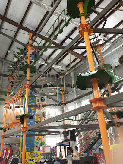
Trex Fun Spot Ropes/ZipLine/Gyroscope
1.3 km
Experience the thrill of zip lines, ropes courses, and gyroscope rides at Trex Fun Spot in Hot Springs, Arkansas, an adventure for the whole family.

Trex Fun Spot Go Karts
1.3 km
Experience the thrill of racing at Trex Fun Spot Go Karts in Hot Springs, Arkansas, where families and friends come together for a day of fun and excitement.
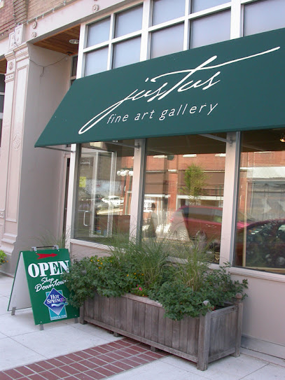
Justus Fine Art Gallery
1.3 km
Discover original art by established and emerging artists at Justus Fine Art Gallery in historic downtown Hot Springs, Arkansas.
Hot Springs Trolleys
1.3 km
Discover Hot Springs' history and beauty aboard a charming trolley tour through downtown and Hot Springs National Park.
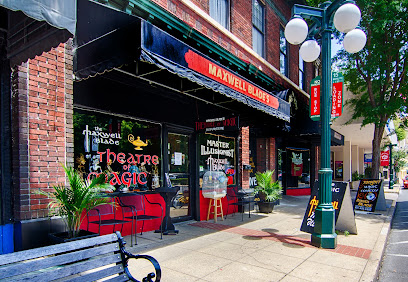
Maxwell Blade's Theatre of Magic & Comedy
1.3 km
Experience the enchanting blend of magic and comedy at Maxwell Blade's Theatre in Hot Springs, Arkansas, a must-visit for family-friendly entertainment.
Historic Malco Theatre
1.4 km
Discover the Historic Malco Theatre in Hot Springs, Arkansas - a cinematic treasure blending vintage charm with modern movie magic.

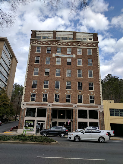
Desoto Rock and Gift Shop
1.4 km
Discover a world of geological wonders at DeSoto Rock and Gift Shop in Hot Springs, Arkansas. Explore unique rocks, minerals, and handmade jewelry.
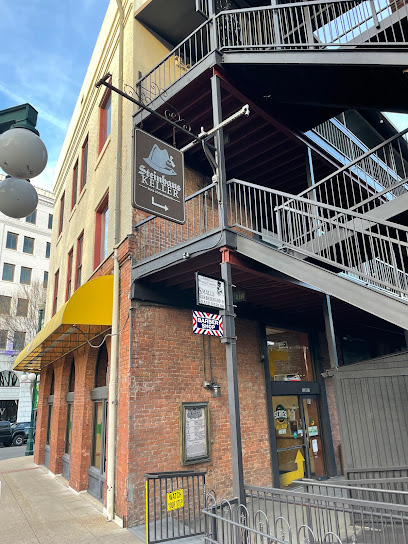
Steinhaus Keller
1.4 km
Experience authentic German cuisine, a wide selection of German beers, and live music in a cozy, traditional setting at Steinhaus Keller in Hot Springs.
Historic District Antiques
1.4 km
Unearth unique antiques and vintage treasures in the heart of Hot Springs, Arkansas at Historic District Antiques, a must-visit for every history lover.
Hot Springs Visitor Center
1.4 km
Your adventure starts here! Discover Hot Springs National Park: history, trails, thermal waters, and local tips at the Visitor Center.
Unmissable attractions to see
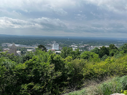
Mountain Top Trail
0.8 km
Hike the Mountain Top Trail in Hot Springs for panoramic views, lush scenery, and a memorable outdoor adventure in the Ouachita Mountains.
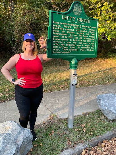
Hot Springs: The Birthplace of Spring Baseball Historic Marker
0.8 km
Discover where baseball legends trained and America's favorite pastime took root in historic Hot Springs, Arkansas.
Arkansas Alligator Farm & Petting Zoo
0.8 km
Hot Springs' oldest attraction! Get up close with alligators & other animals at this family-friendly zoo and petting zoo.
The Galaxy Connection
0.9 km
Relive your childhood at The Galaxy Connection, a vintage toy museum featuring Star Wars, Marvel, DC Comics, and more in Hot Springs, Arkansas.
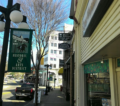
Downtown Association of Hot Springs
0.9 km
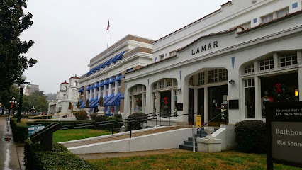
Explore historic Bathhouse Row, unique shops, and vibrant art galleries in the heart of Hot Springs, Arkansas.
Babe Ruth Home Plate
1.0 km
Step back in time at the Babe Ruth Home Plate in Hot Springs, AR, and connect with baseball history where a legend was launched.
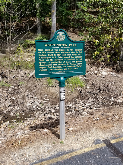
Whittington Park Historic Marker
1.0 km
Explore the legacy of baseball legends at the Whittington Park Historic Marker, once the heart of Hot Springs' vibrant baseball scene.
West Mountain Trail
1.0 km
Discover scenic trails and wildlife sightings on West Mountain, a natural haven in Hot Springs National Park.
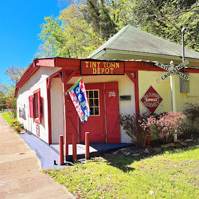
Tiny Town
1.1 km
Discover a whimsical world of miniatures and animation at Tiny Town in Hot Springs, a unique and nostalgic attraction for all ages.
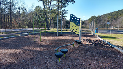
Baseball Trail Park
1.2 km
A Hot Springs park blending recreational fun with a nod to the city's historic baseball legacy. Perfect for sports and relaxation.
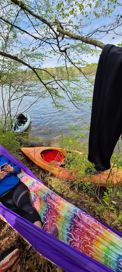
Kelly's Island
1.3 km
Discover a tranquil island escape on Lake Hamilton in Hot Springs, Arkansas, offering outdoor activities and serene natural beauty.
A Narrow Escape
1.4 km
Experience the thrill of solving mysteries at A Narrow Escape, Hot Springs' premier escape room for unforgettable adventures.
Gangster Museum of America
1.4 km
Explore the thrilling history of organized crime at the Gangster Museum of America in Hot Springs, Arkansas, where legendary stories come to life.
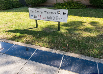
Arkansas Walk of Fame
1.4 km
Discover Arkansas' legends on the Walk of Fame in Hot Springs, honoring the state's nationally recognized figures and their achievements.
Hot Springs Haunted Tours
1.4 km
Discover the ghostly secrets of Hot Springs on a thrilling walking tour through its historic and haunted downtown.
Essential places to dine
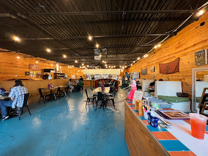
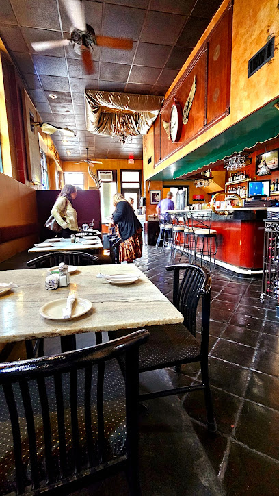
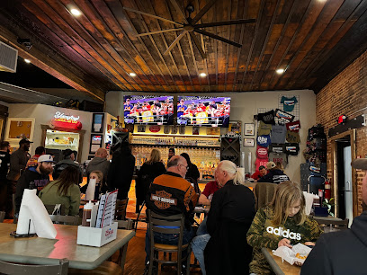
Best Cafe & Bar
0.9 km
Discover culinary excellence at The Best Cafe & Bar in Hot Springs – where local flavors meet inviting ambiance.
Colorado Grill
1.1 km
Experience vibrant Tex-Mex cuisine at Colorado Grill in Hot Springs, where family-friendly dining meets bold Southwestern flavors.
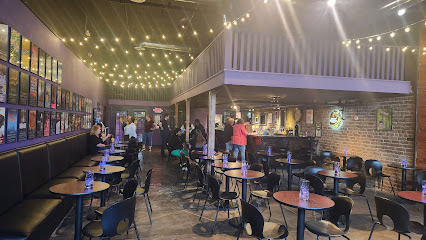
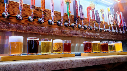
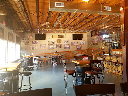
SQZBX Brewery & Pizza
1.2 km
Experience mouthwatering wood-fired pizzas and craft brews at SQZBX Brewery & Pizza in Hot Springs - A culinary hotspot for all food lovers!
Cafe Kahlo
1.3 km
Experience the vibrant flavors of Mexico at Cafe Kahlo in Hot Springs - where authentic cuisine meets warm hospitality.
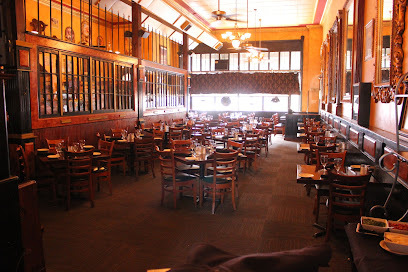
DONS Southern Social
1.3 km
Experience authentic Southern cuisine at DONS Southern Social in Hot Springs—where tradition meets contemporary flair in every dish.
Deluca's Pizza
1.3 km
Experience authentic Southern Italian cuisine at Deluca's Pizza in Hot Springs National Park – where every slice tells a story.
Angels Italian Restaurant
1.4 km
Experience the essence of Italy with every bite at Angels Italian Restaurant in Hot Springs National Park.
Ambrosia at Angels
1.4 km
Experience the best of Italian cuisine at Ambrosia at Angels in Hot Springs - where authentic flavors meet warm hospitality.
Brick House Grill
1.4 km
Discover Brick House Grill: A cozy American restaurant in Hot Springs National Park serving hearty meals in a welcoming atmosphere.
The Porterhouse
1.4 km
Discover The Porterhouse in Hot Springs: A premier destination for steak lovers offering delicious food in a charming vintage setting.
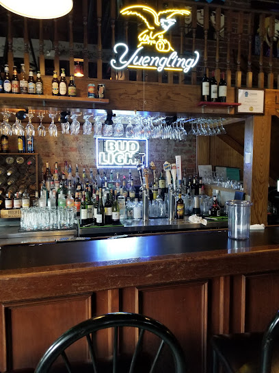
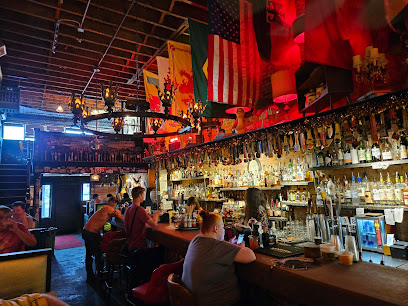
Copper Penny Pub
1.4 km
Discover Copper Penny Pub: A lively hotspot in Hot Springs offering delicious food and drinks in a welcoming atmosphere.
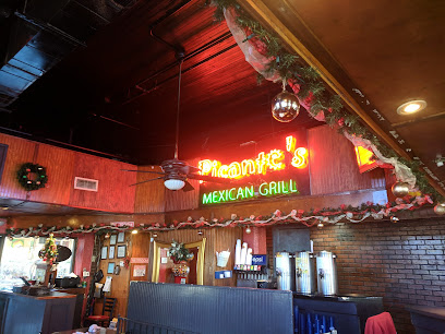
Picante's Mexican Grill
1.4 km
Discover authentic Mexican cuisine at Picante's Mexican Grill in Hot Springs National Park – a vibrant dining experience awaits!
VAULT
1.4 km
Experience modern American cuisine at VAULT, where unique flavors meet historical charm in Hot Springs National Park.
Grateful Head Pizza Oven and Beer Garden
1.4 km
Discover unique pizzas with fresh ingredients at Grateful Head Pizza Oven and Beer Garden in Hot Springs - where flavor meets relaxation.

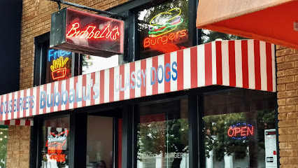
Bubbalus
1.5 km
Savor mouthwatering burgers at Bubbalus in Hot Springs - where flavor meets affordability in a cozy atmosphere.
Markets, malls and hidden boutiques
Grand Lagniappe Shoppe
0.8 km
Explore the charm of Hot Springs, Arkansas at Grand Lagniappe Shoppe, where unique gifts, boutique clothing, and specialty teas await you.
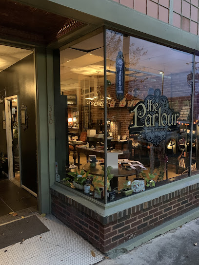
The Parlour Hot Springs
1.0 km
Explore The Parlour Hot Springs, a haven for metaphysical supplies in the heart of Arkansas, where wellness and spirituality meet.
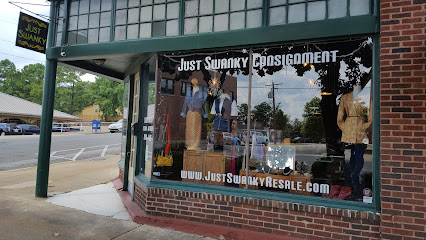
Just Swanky Consignment Boutique
1.0 km
Discover unique fashion treasures at Just Swanky Consignment Boutique in Hot Springs, Arkansas - a chic destination for eco-friendly shopping.
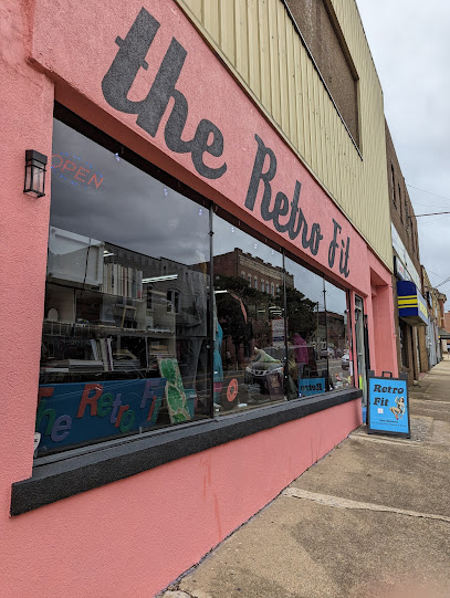
The Retro Fit
1.1 km
Explore The Retro Fit in Hot Springs, AR for an eclectic selection of vintage clothing and unique art pieces that celebrate timeless fashion.
Jane's Curiosity Shop
1.1 km
Discover unique antiques and quirky treasures at Jane's Curiosity Shop in Hot Springs, Arkansas - a boutique that sparks joy and curiosity.

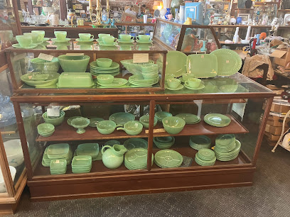
Utopia Antiques & Collectibles
1.2 km
Explore the charm of Utopia Antiques & Collectibles in Hot Springs, where history and nostalgia meet unique treasures.
Lavish Boutique
1.2 km
Explore Lavish Boutique in Hot Springs for trendy women's clothing and unique accessories that reflect your personal style.
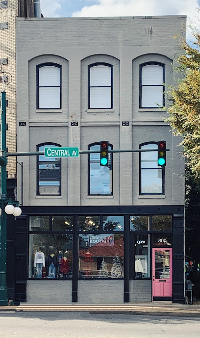
Joanna A. Boutique - Hot Springs
1.3 km
Explore Joanna A. Boutique in Hot Springs for a curated selection of unique fashion, accessories, and local artistry that captures the spirit of Arkansas.
Rocket Fizz
1.4 km
Explore Rocket Fizz in Hot Springs for an enchanting selection of candy, beverages, and unique gifts that delight visitors of all ages.
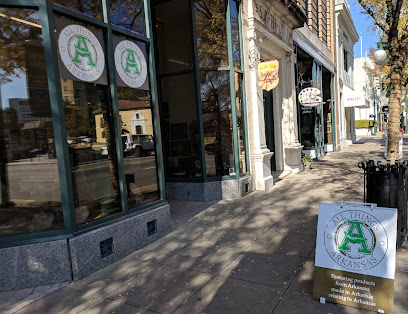
All Things Arkansas
1.4 km
Explore All Things Arkansas, your go-to store for local crafts, souvenirs, and unique culinary delights in Hot Springs.
The Gift Gallery
1.4 km
Explore The Gift Gallery in Hot Springs, Arkansas, for unique souvenirs, local crafts, and artisan treasures that capture the spirit of this charming town.
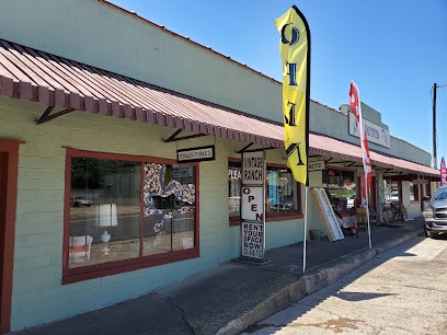
The Vintage Ranch
1.4 km
Explore The Vintage Ranch, a unique store in Hot Springs, Arkansas, where vintage treasures and antiques await every discerning shopper.
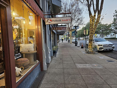
PodunkAnnies
1.4 km
Discover unique gifts and local treasures at PodunkAnnies, your go-to gift shop in Hot Springs, Arkansas.
Mackenzie's Extraordinary Gift Shoppe
1.4 km
Explore the charming Mackenzie's Extraordinary Gift Shoppe for unique Arkansas souvenirs, handcrafted goods, and delightful local treasures.
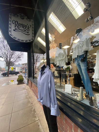
Renee's
1.4 km
Shop at Renee's in Hot Springs, AR for trendy women's clothing and accessories in a welcoming boutique atmosphere.
Essential bars & hidden hideouts
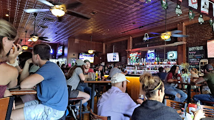
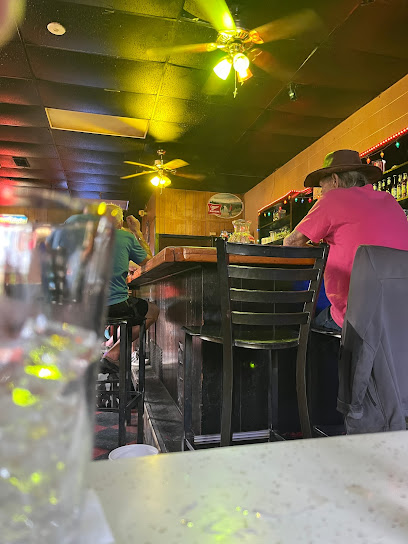
3B's Bar and Grill
0.8 km
Experience the vibrant flavors and lively atmosphere at 3B's Bar and Grill in Hot Springs, Arkansas, perfect for a fun night out with friends or family.
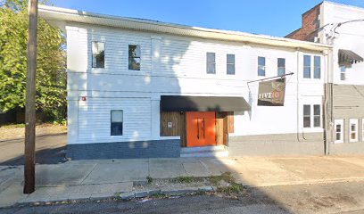
Five 10
1.0 km
Experience the vibrant nightlife at Five 10, a premier bar in Hot Springs, AR, serving creative cocktails and a welcoming atmosphere.
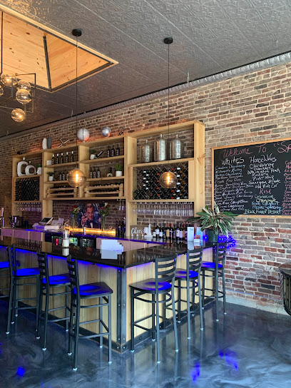
Splash Wine Bar
1.1 km
Experience the best of Hot Springs at Splash Wine Bar, where exquisite wines meet a vibrant social atmosphere in a charming setting.
Ouachita Bar & Grill
1.3 km
Experience mouth-watering barbecue in the heart of Hot Springs at Ouachita Bar & Grill, where flavor meets Southern hospitality.
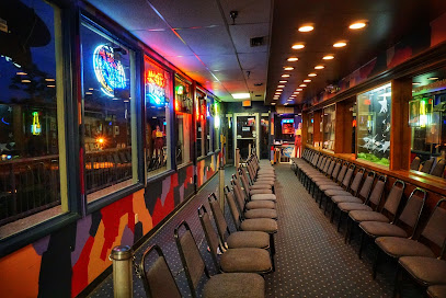
Maxine's Live
1.4 km
Experience the vibrant nightlife at Maxine's Live in Hot Springs, where live music, karaoke, and delicious pizza come together for an unforgettable evening.
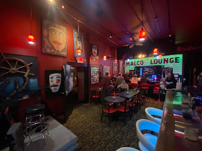
Malco Lounge and Parlor
1.4 km
Discover the lively Malco Lounge and Parlor in Hot Springs, Arkansas, where the drinks flow and the entertainment shines.
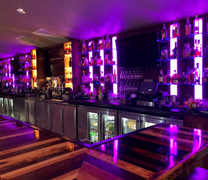
The HEIST
1.4 km
Discover The HEIST in Hot Springs, a hidden lounge offering meticulously crafted cocktails and a cozy ambiance for a perfect night out.
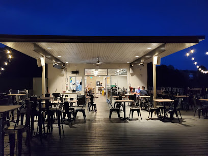
The Rooftop Bar
1.5 km
Experience breathtaking views and refreshing drinks at The Rooftop Bar in Hot Springs, a perfect spot for relaxation and fun.
421 SPORTS BAR
1.7 km
Experience the thrill of live sports at 421 Sports Bar, Hot Springs' ultimate destination for food, drinks, and unforgettable game day excitement.
Corner Bar
1.7 km
Experience the vibrant atmosphere and friendly community at Corner Bar in Hot Springs, Arkansas, where every drink comes with a side of fun.
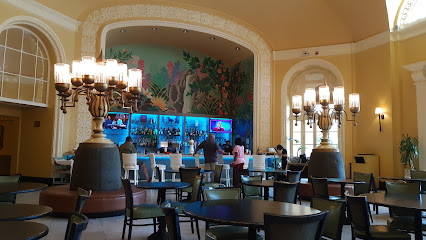
The Lobby Bar at the Arlington
1.7 km
Discover the elegance of The Lobby Bar at the Arlington, where expertly crafted cocktails meet a sophisticated atmosphere in Hot Springs.
Taphouse Club
1.8 km
Experience the thrill of sports, delicious food, and a vibrant atmosphere at Taphouse Club in Hot Springs National Park, the ultimate sports bar for all.
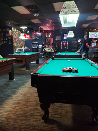
VIP Billiards Sports Bar
2.0 km
Experience the excitement of billiards and vibrant nightlife at VIP Billiards Sports Bar in Hot Springs, where fun meets relaxation.
The Bourbon Bar at 501 Prime
2.0 km
Discover exquisite cocktails and a vibrant atmosphere at The Bourbon Bar in Hot Springs, the perfect spot for relaxation and nightlife.
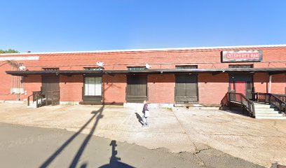
Petersen Pub
2.0 km
Discover Petersen Pub in Hot Springs: a cozy bar with a diverse drink selection, perfect for relaxing after exploring the area's natural wonders.
Nightclubs & after hour spots
Starlite Club
1.2 km
Experience the vibrant nightlife and friendly atmosphere at Starlite Club in Hot Springs, a must-visit bar for an unforgettable night out.
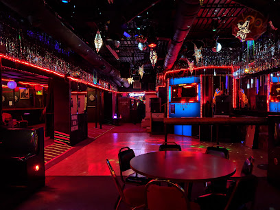
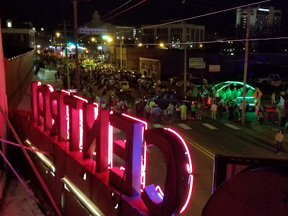
Hot Springs Central Cabaret & Nightclub
1.3 km
Discover the vibrant nightlife at Hot Springs Central Cabaret & Nightclub, where live music and exciting performances await every visitor.
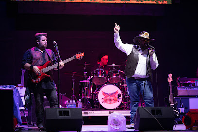
Vapors Live
1.9 km
Discover the energy of Vapors Live, the premier venue for live music and comedy in Hot Springs, Arkansas, where every night is a celebration of entertainment.
Electric Cowboy
66.9 km
Discover the energetic nightlife at Electric Cowboy, a top night club and bar in Little Rock, offering themed events and a lively atmosphere.
Loony Bin Comedy Club
68.5 km
Discover the hilarity and vibrant nightlife at Loony Bin Comedy Club in Little Rock, Arkansas, where laughter and great drinks await.
TABU Night Club
69.2 km
TABU Night Club in Little Rock offers an electrifying nightlife experience with vibrant music, stunning visuals, and a lively atmosphere for unforgettable nights.
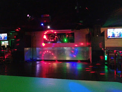
ENVY PRIVATE CLUB
69.2 km
Discover the pulse of Little Rock's nightlife at Envy Private Club, where great music and vibrant energy await every night.
New Developments Inc.
73.4 km
Experience the vibrant nightlife at New Developments Inc., Little Rock's top destination for dancing and entertainment in a lively atmosphere.

Club Empire
73.4 km
Experience the electrifying nightlife at Club Empire, Little Rock's premier night club, where music and fun come alive every weekend.
Triniti Nightclub
75.7 km
Discover the electrifying atmosphere of Triniti Nightclub in Little Rock, where diversity and vibrant nightlife come together for an unforgettable experience.
Discovery Night Club
75.7 km
Experience the vibrant nightlife of Little Rock at Discovery Night Club, where music and energy come together for an unforgettable party.
Jimmy Ray's Karaoke and Dance Club
76.5 km
Discover the lively Jimmy Ray's Karaoke and Dance Club, where great music, delicious food, and unforgettable fun await in North Little Rock.
Penthouse Social Club and Cigar Lounge
76.6 km
Experience luxury at the Penthouse Social Club and Cigar Lounge, where fine cigars meet an elegant atmosphere in the heart of Little Rock.
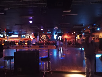
Midtown Billiards
77.1 km
Discover the lively atmosphere of Midtown Billiards in Little Rock, where great food, live music, and fun pool games await you.
The Lobby Bar
77.2 km
Discover The Lobby Bar, a stylish downtown oasis in Little Rock, perfect for craft cocktails and a cozy atmosphere.