Dilijan Hiking Tracks Maps: Explore Armenia's Trails
Explore scenic trails, discover ancient monasteries, and immerse yourself in the natural beauty of Dilijan National Park, Armenia.
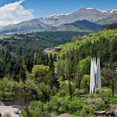
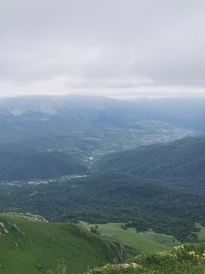
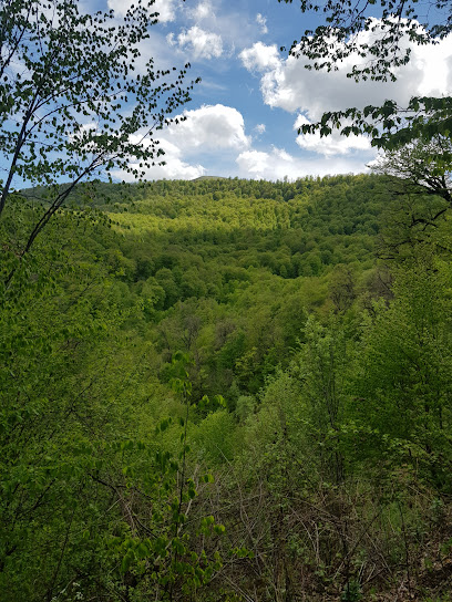
Discover the beauty of Dilijan, Armenia, through its network of hiking trails. Nestled in Dilijan National Park, these tracks offer a variety of experiences for both novice and experienced hikers, from leisurely strolls to challenging climbs, all within the stunning landscape of Armenia's 'Little Switzerland'.
A brief summary to Dilijan Hiking Tracks Maps
Local tips
- Bring mosquito repellent, especially during warmer months, as mosquitoes can be prevalent on the trails.
- Wear long pants to protect against stinging nettle and check for ticks after your hike.
- Download a hiking app or carry a map, as some trails may not be clearly marked.
- Visit the Dilijan Tourist Information Center in the park area for trail recommendations and updates.
Getting There
-
Walking
From Tsaturyan Street in Dilijan, where the hiking tracks are located, various trailheads are within walking distance. Depending on your chosen trail, follow the marked paths into Dilijan National Park. Look for red and white painted blazes indicating the Transcaucasian Trail. Note that some trails may be steep or uneven. Ensure you have appropriate footwear. No costs are associated with accessing the trailheads.
-
Public Transport
If arriving in Dilijan by minibus from Yerevan (approx. 1000 AMD, 2 hours), the Dilijan bus station is located on the M4 highway. From there, take local bus towards the city center (approx. 100 AMD). Alight near Tsaturyan Street, where the hiking tracks are located. Alternatively, a taxi from the bus station to Tsaturyan Street costs approximately 500-800 AMD.
-
Taxi
From anywhere in Dilijan city center, a taxi to the vicinity of Tsaturyan Street, where the hiking tracks are located, will cost approximately 500-800 AMD. Taxis are readily available and can be hailed on the street or booked through a mobile app such as GG Taxi.
Discover more about Dilijan Hiking Tracks Maps
Iconic landmarks you can’t miss
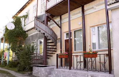
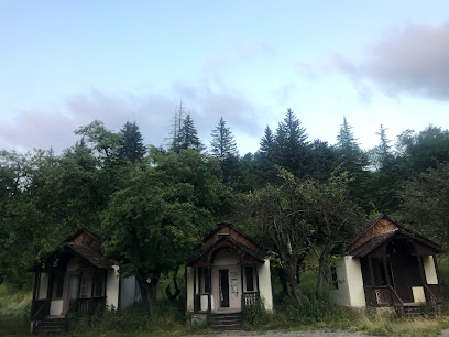
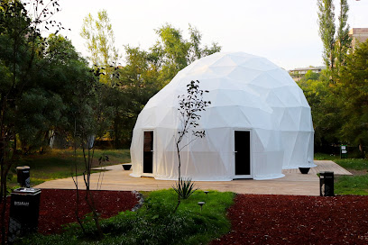
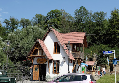
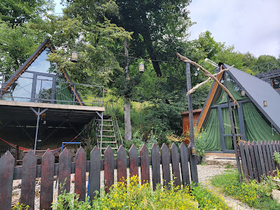
Rest House
0.1 km
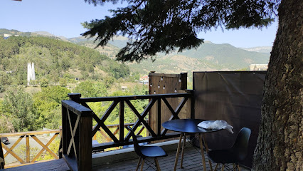
Discover the charm of Rest House in Dilijan, a cozy hostel surrounded by Armenia's stunning landscapes, perfect for adventure seekers and nature lovers.

Go To Dili
0.1 km
Discover Dili: A vibrant mix of culture, history, and stunning landscapes awaits in Timor-Leste's capital.
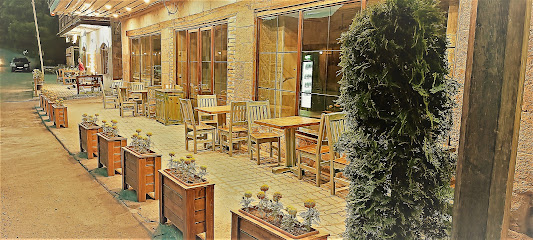
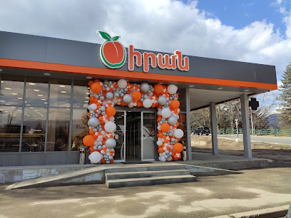
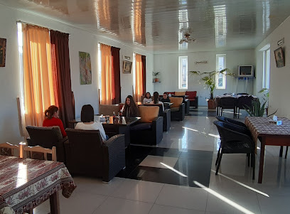
Carahunge Cafe & More
0.1 km
Discover the flavors of Armenia at Carahunge Cafe & More in Dilijan, where delightful dishes meet warm hospitality in a cozy setting.
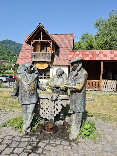
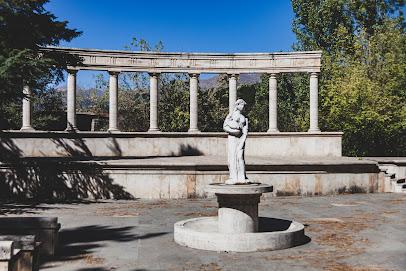
Mimino Statue
0.2 km
Discover the Mimino Statue in Dilijan, a stunning monument celebrating Armenian culture, set against a backdrop of breathtaking natural beauty.
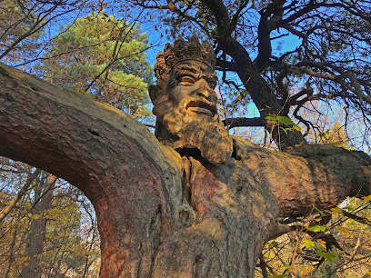
King of the Forest
0.3 km
Experience the captivating charm of King of the Forest, a historical landmark in Dilijan, Armenia, where nature and history intertwine beautifully.
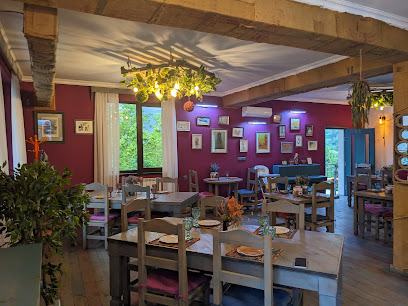
Kchuch Restaurant
0.3 km
Experience authentic Armenian cuisine in a cozy atmosphere at Kchuch Restaurant, Dilijan. Fresh ingredients, traditional cooking, unforgettable flavors.
Sharambeyan St
0.5 km
Experience the cultural heartbeat of Dilijan on Sharambeyan Street, where local artistry and stunning landscapes converge in an unforgettable journey.
Sharambeyan Street
0.5 km
Sharambeyan Street in Dilijan: A picturesque street filled with charming shops, stunning views, and rich Armenian culture awaits your exploration.
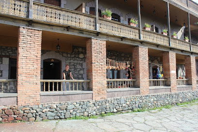
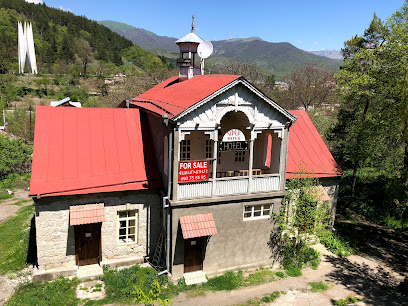
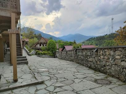
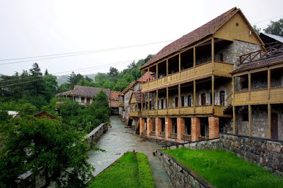
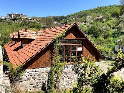
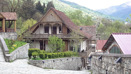
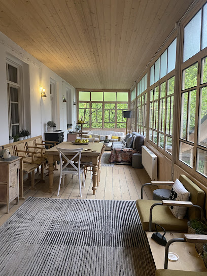
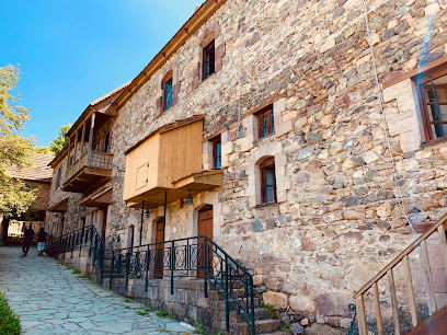
Tufenkian Old Dilijan Complex
0.5 km
Experience 19th-century Armenian charm at the Tufenkian Old Dilijan Complex, a cultural hub nestled in the heart of Dilijan's historic district.
Flying Ostrich by Dolmama
0.5 km
Discover the rich flavors of Armenian cuisine at Flying Ostrich by Dolmama in Dilijan, where every meal is a delightful experience in a cozy setting.
Dilijan City Square
0.8 km
Experience the heart of Dilijan: a blend of culture, nature, and history in the 'Armenian Switzerland'.
Green Garden Guesthouse
0.8 km
Experience comfort and nature in Dilijan at Green Garden Guesthouse, your gateway to Armenian hospitality and scenic beauty.
Areguni Guest House
1.2 km
Experience the charm and tranquility of Dilijan at Areguni Guest House, your perfect retreat in Armenia's nature-rich landscape.
Dilijan Family House
1.3 km
Experience the charm of Dilijan Family House, a cozy holiday retreat surrounded by nature's beauty and rich Armenian culture.
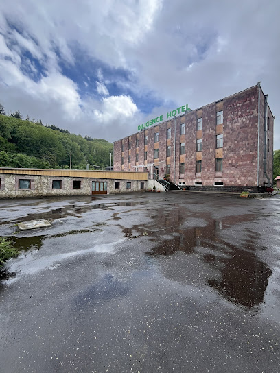
Diligence Hotel & restaurant
2.1 km
Experience comfort and tranquility at Diligence Hotel & Restaurant, your gateway to exploring the natural beauty of Dilijan, Armenia.
Unmissable attractions to see
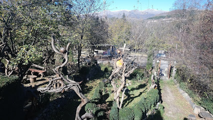
Demi sar
0.1 km
Escape to the serene beauty of Demi Sar Park in Dilijan, Armenia, where lush landscapes and diverse wildlife offer a tranquil retreat.
Armen shmo
0.1 km
Discover a peaceful sanctuary in Dilijan's Armen Shmo Park, with lush landscapes, vibrant flowers, and a serene atmosphere for relaxation and recreation.
PARZ LICH
0.1 km
Discover the tranquil beauty of Parz Lich in Dilijan National Park, a haven for hiking and nature lovers in Armenia.
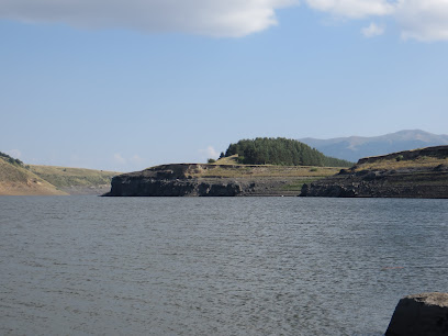
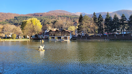
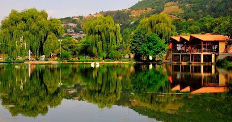
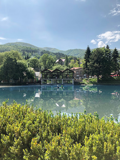
Dilijan’s Lake
0.1 km
Escape to the tranquility of Dilijan’s Lake, a picturesque alpine gem nestled in the heart of Dilijan National Park, Armenia.
Champordi.Tnak
0.2 km
Discover breathtaking landscapes and serene trails at Champordi.Tnak, Dilijan's premier hiking destination in the heart of Armenia.
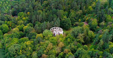
Khanjyan Summer House
0.2 km
Explore the haunting ruins of Khanjyan Summer House in Dilijan, a relic of Soviet Armenia's turbulent past, offering a unique glimpse into history.
Dilijan
0.3 km
Explore Dilijan, Armenia: a stunning blend of nature, history, and warm hospitality, perfect for adventurers and culture seekers alike.
Peace Square
0.3 km
Find serenity in Dilijan's heart: Peace Square offers stunning views, local crafts, and a tranquil escape in Armenia's 'Switzerland'.
Ruins of Khanjian Villa
0.3 km
Explore the haunting beauty of Khanjian Villa's ruins in Dilijan, a window into Armenia's Soviet past and architectural heritage.
Art Studio
0.4 km
Discover local artistry at this Dilijan studio, offering a glimpse into the region's creative spirit and cultural richness.
Dilijan City Park
0.4 km
Explore the tranquil beauty of Dilijan City Park, a serene oasis in Armenia's lush landscapes, perfect for nature lovers and cultural enthusiasts alike.
Dilijan Local Lore Museum and Art Gallery
0.4 km
Discover Dilijan's history and art: From ancient artifacts to masterpieces by Armenian and international artists in a charming setting.
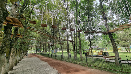
VereV Rope Park
0.6 km
Experience high-flying thrills at VereV Rope Park in Dilijan, Armenia's longest rope park, offering adventure for all ages in a stunning natural setting.
Ditaran
0.6 km
Experience immersive entertainment at Ditaran in Dilijan City Park, offering 360° shows about Armenian culture, art, and science for all ages.
Dilijan Amphitheatre
0.6 km
Experience Armenian culture amidst nature's splendor at Dilijan Amphitheatre, a modern stage with classical charm in the heart of Dilijan.
Essential places to dine
Ծովագյուղ Ֆասթ Դուդ
0.1 km
Enjoy delicious fast food at Ծովագյուղ Ֆասթ Դուդ in Dilijan – perfect for quick bites and casual dining amidst stunning nature.
Կալինինի 196
0.1 km
Discover authentic Armenian flavors at Kalinini 196 in Dilijan—where every meal tells a story amidst stunning landscapes.
Cafe #2
0.2 km
Discover delicious Armenian cuisine at Cafe #2 in Dilijan – a perfect blend of flavors and ambiance for every traveler.
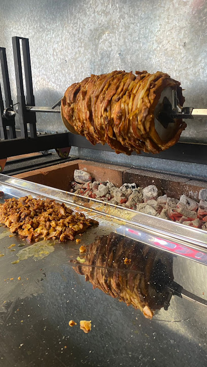
Mr. Shaurma
0.2 km
Discover the flavors of Armenia at Mr. Shaurma in Dilijan - home of delicious shawarmas and quick bites!
Shame Burger
0.3 km
Discover the best burgers in Dilijan at Shame Burger – where local flavors meet gourmet creations.
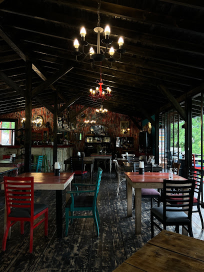
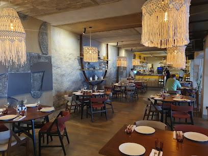
Tava Restaurant
0.3 km
Discover authentic Armenian cuisine at Tava Restaurant in Dilijan—where tradition meets taste in a cozy setting.
Ker u Sus
0.4 km
Discover the flavors of Armenia at Ker u Sus in Dilijan—a family-friendly restaurant renowned for its delectable khinkali and warm hospitality.
Little Dragon
0.4 km
Discover authentic sushi at Little Dragon in Dilijan - where fresh ingredients meet culinary artistry for an unforgettable dining experience.
Shaurmyan
0.5 km
Experience delicious fast food with an Armenian twist at Shaurmyan in beautiful Dilijan.
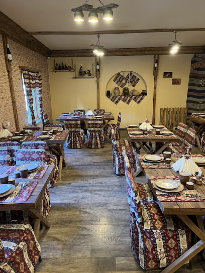
Haykanoush
0.5 km
Experience authentic Armenian cuisine at Haykanoush in Dilijan – where every meal is a celebration of local flavors amidst stunning landscapes.
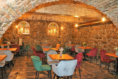
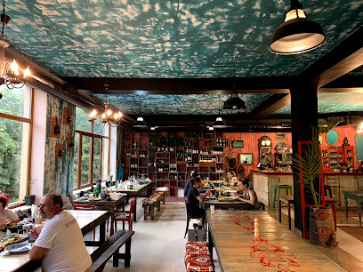
Old Dilijan Winery Restaurant
0.5 km
Discover authentic Armenian cuisine paired with exquisite local wines at Old Dilijan Winery Restaurant in beautiful Dilijan.
Dilijan Pizza
0.5 km
Experience authentic Italian pizza amidst the stunning landscapes of Dilijan, Armenia – where every bite feels like a slice of heaven.
Hovk Restaurant
0.5 km
Experience authentic Armenian cuisine in a cozy setting at Hovk Restaurant in beautiful Dilijan.
Losh
0.6 km
Experience authentic Armenian cuisine at Losh in Dilijan—where tradition meets flavor in a cozy atmosphere.
Ծովագյուղ Fast Food
0.7 km
Experience delicious fast food with local flavors at Ծովագյուղ Fast Food in picturesque Dilijan - perfect for tourists on the go!
Markets, malls and hidden boutiques
салон цветов Асмик
0.1 km
Discover the vibrant beauty of Asmik Flower Salon in Dilijan, where fresh blooms and exquisite arrangements await every visitor.
Պապանինո շինանյութ
0.1 km
Discover Papanino Shinyant in Dilijan for quality hardware, expert advice, and a touch of local charm. Perfect for DIY enthusiasts and travelers alike.
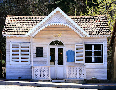
Riverside Boutique
0.1 km
Explore Riverside Boutique in Dilijan for a unique shopping experience featuring Armenian fashion and local artistry.
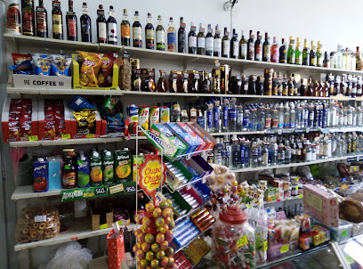
Циран
0.2 km
Discover the best of Armenian flavors at Циран, a vibrant supermarket in the heart of Dilijan, offering local and international products.
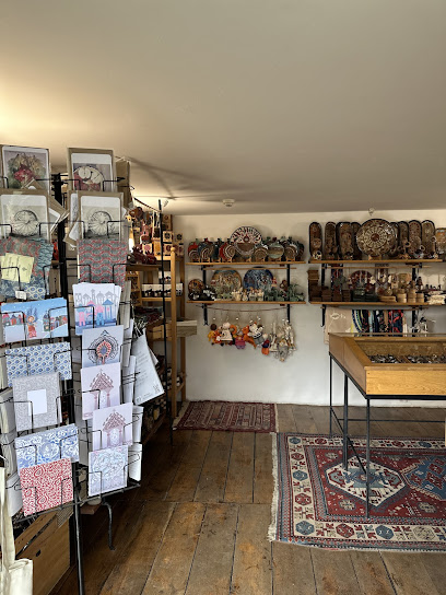
Nrani
0.2 km
Discover the essence of Armenia at Nrani, where handcrafted treasures showcase the country's rich cultural heritage.
Made-vel-e
0.3 km
Explore the vibrant world of fashion at Made-vel-e, a unique accessories store in Dilijan offering handcrafted pieces that reflect Armenian culture.
ACOL
0.4 km
Discover the finest selection of local and international spirits at Acol in the heart of Dilijan, Armenia, and experience the essence of Armenian craftsmanship.
Voosh
0.5 km
Discover unique Armenian souvenirs and gifts at Voosh, the charming gift shop in Dilijan, showcasing local craftsmanship and creativity.
Old Dilijan Complex Master Wood Carving
0.5 km
Explore the exquisite craftsmanship at the Old Dilijan Complex, where tradition meets artistry in stunning wood carvings.
TER-KARAPETYANNER
0.5 km
Explore Dilijan's TER-KARAPETYANNER Supermarket for a unique blend of local and international products, ensuring a delightful shopping experience during your visit.
Gifts shop
0.5 km
Explore a delightful gifts shop in Dilijan, offering unique Armenian souvenirs and handcrafted treasures that celebrate local culture.
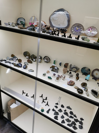
Bojo stones Shop
0.5 km
Explore the artistry of Bojo Stones Shop in Dilijan, where handcrafted jewelry showcases the beauty of local Armenian stones and minerals.

Souvenir Shop
0.6 km
Discover unique Armenian gifts and handcrafted treasures in the heart of Dilijan at the charming Souvenir Shop.
Mineral Silver Shop
0.6 km
Explore the exquisite craftsmanship of silver jewelry at Mineral Silver Shop in the scenic town of Dilijan, Armenia.
Shax shop
0.6 km
Discover unique clothing and local designs at Shax Shop in Dilijan, a must-visit destination for fashion enthusiasts and culture seekers alike.
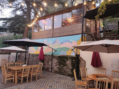
Essential bars & hidden hideouts
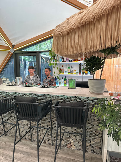
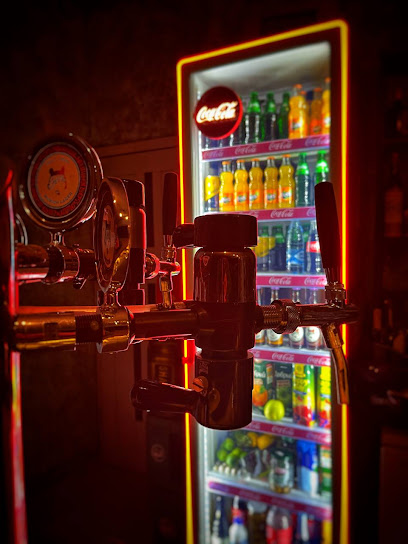
Sovats Vozni
0.2 km
Experience the vibrant nightlife and local flavors at Sovats Vozni, Dilijan's premier bar for travelers seeking relaxation and fun.
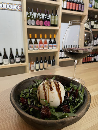
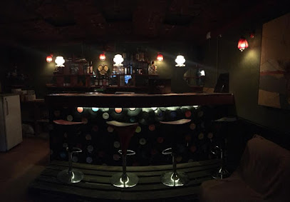
The Kliver wine place
0.5 km
Discover the rich flavors of Armenia at The Kliver Wine Place, where exquisite wines meet a warm and inviting atmosphere in beautiful Dilijan.
Hovaz Wine Rooms
1.0 km
Discover the rich flavors of Armenian wines at Hovaz Wine Rooms in Dilijan, a charming destination for wine lovers and cultural enthusiasts.

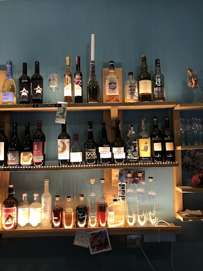
The Kliver bar #1
2.0 km
Discover the cozy charm of The Kliver Bar in Dilijan, where exquisite drinks and a warm atmosphere await travelers seeking relaxation.
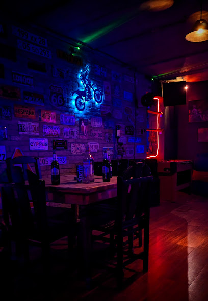
Աաաաաա
7.5 km
Discover the vibrant culture and flavors of Teghut at this cozy bar, where local drinks and lively ambiance await you.
Traveler bar
7.5 km
Discover the vibrant nightlife at Traveler Bar in Armenia, where locals and tourists unite over drinks and unforgettable experiences.
Lost / Կորած Տեղ
7.5 km
Experience the beauty and tranquility of Lost Camping Cabin in Teghut, Armenia, your perfect outdoor getaway surrounded by nature.
Tnakner
17.9 km
Discover Tnakner: A serene lounge by Sevan Lake offering local cuisine, stunning views, and a cozy atmosphere for an unforgettable experience.
Yasaman Sevan's Restaurant
20.8 km
Experience the rich flavors of Armenian cuisine with stunning views at Yasaman Sevan's Restaurant near beautiful Lake Sevan.
დადა
21.9 km
Experience the vibrant nightlife at Dada Bar in Gagarin, where local culture meets modern entertainment in a lively atmosphere.
Green Bay Sevan
22.6 km
Discover the flavors of Armenia while enjoying breathtaking views at Green Bay Sevan, the perfect dining destination on the shores of Lake Sevan.
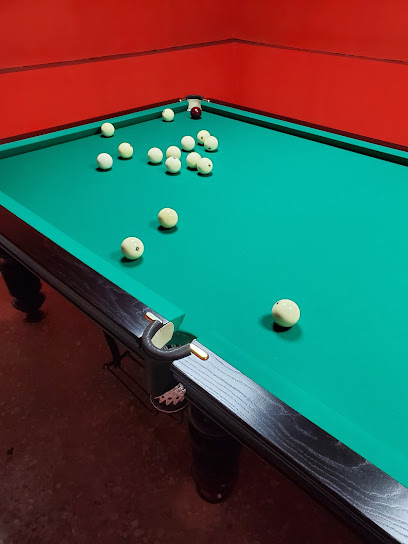
Billiard & Bar
22.7 km
Discover Hrazdan's vibrant nightlife at the Billiard & Bar, where great drinks and friendly games await every visitor.
Barev Cafe & Restaurant
22.8 km
Experience the rich flavors of Armenian cuisine at Barev Cafe & Restaurant, with stunning views of Lake Sevan and a warm, inviting atmosphere.
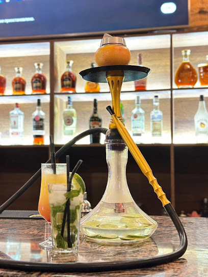
Hookah lounge bar
22.9 km
Discover the vibrant atmosphere of Hookah Lounge Bar in Hrazdan, where relaxation meets local culture in an unforgettable experience.
Coffe & Fresh Shop
23.1 km
Discover the perfect blend of coffee, snacks, and breathtaking views at Coffe & Fresh Shop, overlooking the stunning Sevan Lake in Armenia.
Nightclubs & after hour spots
Lusi night club
2.5 km
Experience the vibrant nightlife of Dilijan at Lusi Night Club, where music, dancing, and an electric atmosphere await.
Koko
24.1 km
Experience the vibrant nightlife of Hrazdan at Koko, where exceptional music and a lively atmosphere create unforgettable nights.
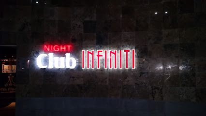
Infiniti Night Club
25.6 km
Discover the electrifying nightlife of Tsaghkadzor at Infiniti Night Club, where vibrant music and a lively crowd create unforgettable memories.
Hr
29.4 km
Experience the lively bar scene in Vanadzor, where local culture meets a fantastic selection of drinks and vibrant nightlife.
Katalina Show Club
30.2 km
Experience the vibrant nightlife at Katalina Show Club in Hrazdan, where music, dance, and entertainment come together for an unforgettable night.
24i kurilka
30.2 km
Experience the vibrant nightlife of Vanadzor at 24i Kurilka, the city's top night club offering lively music, delicious cocktails, and unforgettable moments.
A Sky Bar
32.3 km
Discover the vibrant nightlife of Vanadzor at A Sky Bar, featuring stunning views and a diverse drink menu to elevate your evening experience.
BART
32.6 km
Discover BART, Vanadzor's premier bar offering an eclectic mix of drinks, music, and a vibrant atmosphere for an unforgettable night out.
ՈՄԱ Վանաձոր ՌՀ ՀԿ
32.6 km
Experience the vibrant sports culture at VOMA Vanadzor Sports Club, where fitness meets community engagement in the heart of Armenia.
Solenoid
32.9 km
Experience the vibrant nightlife at Solenoid, a lively pub in Vanadzor offering a great selection of drinks and a welcoming atmosphere for all.
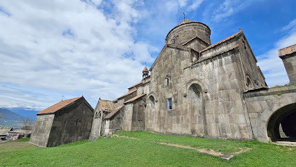
Haghpat Monastery Complex
41.4 km
Discover the architectural marvels and spiritual heritage of Haghpat Monastery Complex, a UNESCO site nestled in Armenia's breathtaking landscape.
Alaverdi
42.7 km
Explore the enchanting town of Alaverdi, a blend of rich history and stunning nature in Armenia's breathtaking landscapes.
Mendz Er Cave
42.8 km
Discover the culinary and cultural treasures of Mendz Er Cave in Alaverdi, where dining meets history in a stunning natural setting.
Favorit
42.9 km
Explore Spitak's nightlife at Favorit Night Club, where vibrant music, energetic atmosphere, and unforgettable moments await you.
Рыбалка Апаран
45.8 km
Discover the buzzing nightlife at Рыбалка Апаран, a vibrant night club in Armenia, where music, dancing, and fun come together for an unforgettable experience.