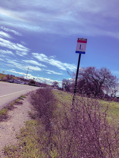
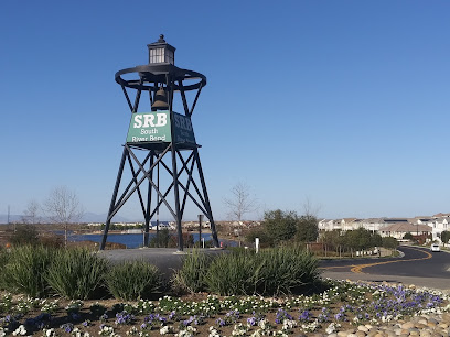
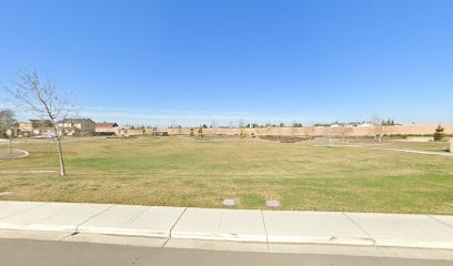
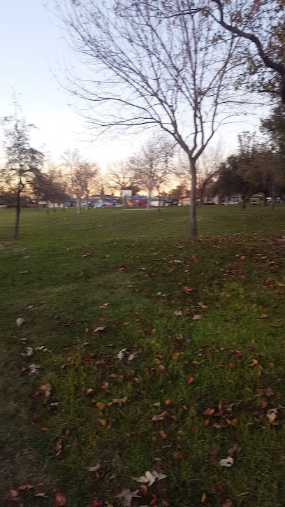
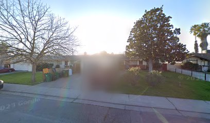
Historic Lincoln Highway Marker - Lathrop, CA
Discover a piece of America's automotive history at the Lincoln Highway Marker in Lathrop, CA, commemorating the first transcontinental highway.
A marker commemorating the Lincoln Highway, the first transcontinental highway in the United States, which passed through Lathrop, California. The highway connected New York City to San Francisco and played a significant role in early automotive travel.
A brief summary to Historic Lincoln Highway Marker - S Manthey Rd
- Lathrop, California, 95330, US
- +1815-456-3030
- Visit website
Local tips
- Take photos with the historical marker to commemorate your visit to this iconic landmark.
- Explore the surrounding area to discover other historical sites and landmarks related to the Lincoln Highway.
- Visit the Lincoln Highway Association website for more information on the highway's history and preservation efforts.
Getting There
-
Driving
From Interstate 5, exit onto Roth Road in Lathrop. Head east on Roth Road, then turn right onto S Manthey Road. The Lincoln Highway Marker will be on your right. Parking is available nearby.
-
Walking
From the center of Lathrop, head east on J Street, then turn right onto S Manthey Road. Continue south for approximately 1 mile. The Lincoln Highway Marker will be on your left.
Discover more about Historic Lincoln Highway Marker - S Manthey Rd
Iconic landmarks you can’t miss
Historic Lincoln Highway Marker - S Manthey Rd
0.0 km
Discover a piece of American history at the Lincoln Highway Marker in Lathrop, CA, commemorating the nation's first transcontinental highway.
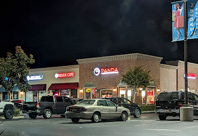
Indian Cafe Manteca CA
4.4 km
Experience the authentic taste of Indian cuisine at Indian Cafe Manteca, a culinary haven for food lovers seeking vibrant flavors and warm hospitality.
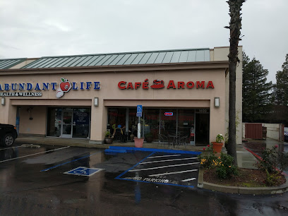
Cafe Aroma CA
5.5 km
Discover the charm of Cafe Aroma CA in Manteca, where exceptional coffee meets a cozy atmosphere and delightful pastries await.
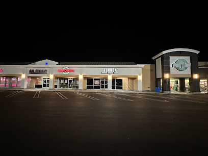
Junoon Indian Cuisine & Bar
5.8 km
Experience the vibrant taste of India at Junoon Indian Cuisine & Bar in Manteca, where every dish tells a story of tradition and flavor.
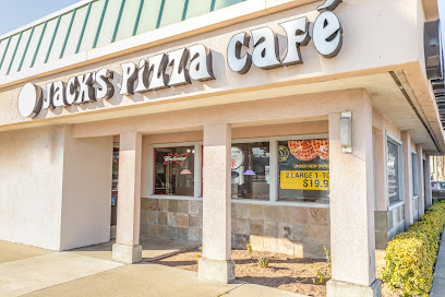
Jack's Pizza & Bar
5.9 km
Experience the best pizza and Italian cuisine in Manteca at Jack's Pizza & Bar, a delightful destination for food lovers.
P.L. Fry & Son Funeral Home
6.0 km
Experience compassionate care and personalized service at P.L. Fry & Son Funeral Home in Manteca, California, where memories are honored with dignity.
Slides Restaurant
6.1 km
Discover the lively atmosphere of Slides Restaurant in Manteca, California, where delicious American cuisine meets exciting live music and dance.
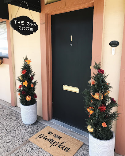
The Spa Room In Manteca your wellness and beauty destination
6.3 km
Discover tranquility at The Spa Room in Manteca, offering rejuvenating massages and skin care treatments for tourists seeking relaxation and beauty.
Greystone Park
6.4 km
Explore Greystone Park in Manteca, California, where lush landscapes meet recreational fun, ideal for families and nature lovers alike.
The Promenade Shops at Orchard Valley
6.4 km
Discover a shopping haven at The Promenade Shops at Orchard Valley, where retail, dining, and entertainment come together in a vibrant outdoor setting.
Dj’s Restaurant & Taphouse
6.6 km
Discover Dj's Restaurant & Taphouse in Manteca, where American cuisine meets craft brews and delicious pizzas in a vibrant atmosphere.
The Best in Manteca
6.7 km
Experience the creative pulse of Manteca at The Best in Manteca, a premier advertising agency showcasing local talent and business innovation.
El Mayita Tacos y Birria
7.1 km
Experience the vibrant flavors of Mexico at El Mayita Tacos y Birria in Manteca, where authentic cuisine and warm hospitality await every visitor.
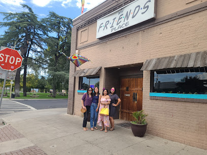
My Friends Place
7.3 km
Discover delicious homemade meals at My Friends Place in Manteca, California, where every dish tells a story of local flavor and hospitality.
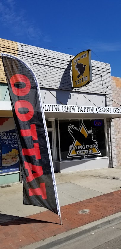
Flying Crow Tattoo
7.4 km
Experience the artistry and creativity at Flying Crow Tattoo in Manteca, where each tattoo tells a unique story.
Unmissable attractions to see
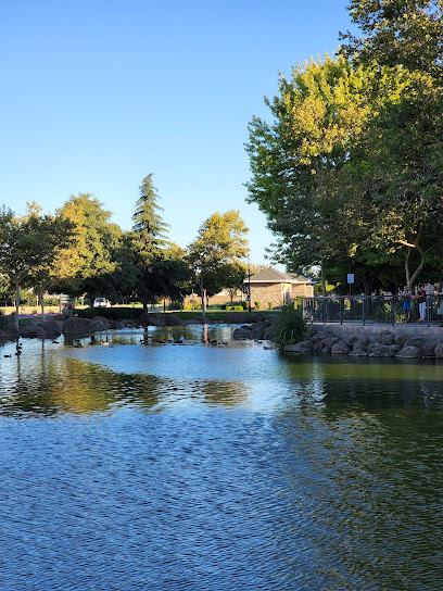
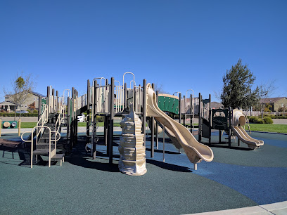
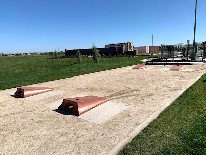
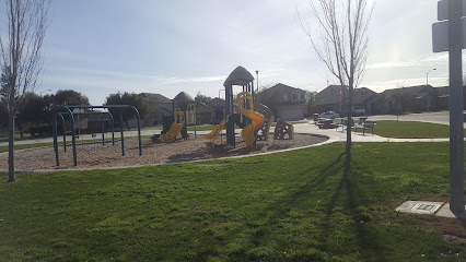
Michael Vega Park
1.3 km
A serene lakeside park in Lathrop's River Islands, Michael Vega Park offers a peaceful retreat with playgrounds, picnic spots, and stunning water views, honoring a local hero.
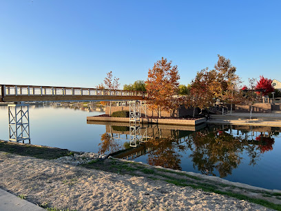
Love Lock Bridge
1.4 km
Lock in your love at Lathrop's charming Love Lock Bridge, a picturesque waterfront destination where couples, families, and friends create lasting memories in the heart of the River Islands community.
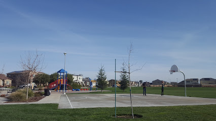
Mossdale Landing Community Park
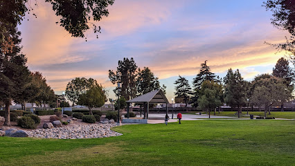
1.4 km
Discover Lathrop's vibrant heart at Mossdale Landing Community Park: a hub for recreation, community events, and family fun in a beautiful outdoor setting, easily accessible to all.
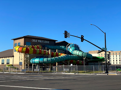
Great Wolf Lodge Water Park | Northern California
3.4 km
Northern California's ultimate family destination, Great Wolf Lodge in Manteca offers an indoor water park, adventure park, themed suites, and diverse dining for an unforgettable getaway.
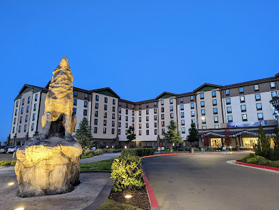
Great Wolf Lodge
3.5 km
Dive into family fun at Great Wolf Lodge Manteca, Northern California's premier indoor water park resort, offering thrilling slides, themed suites, and year-round entertainment for all ages.

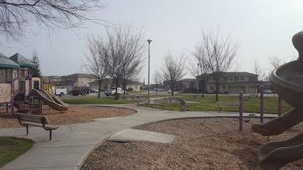
Manuel Valverde Park
3.8 km
Discover Lathrop's vibrant heart at Manuel Valverde Park: a hub for recreation, community events, and family fun, offering playgrounds, sports, and tranquil gardens for all to enjoy.
Big League Dreams Manteca
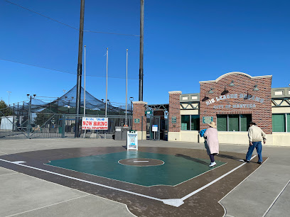
3.8 km
Experience baseball like never before at Big League Dreams Manteca, featuring replica stadiums, diverse sports, and family fun in the heart of California's Central Valley. A unique sports destination.
Bella Vista Park
4.1 km
Discover Bella Vista Park in Manteca: A vibrant community hub with sports facilities, playgrounds, and picnic spots for family fun and outdoor activities, open daily.
Dos Reis Regional Park
4.5 km
Discover a tranquil riverside escape at Dos Reis Regional Park in Lathrop, CA, offering RV camping, boating, fishing, and family-friendly amenities along the scenic San Joaquin River.
MonteBello Park
5.1 km
Discover a vibrant community hub in Manteca, California, offering playgrounds, sports, and green spaces for relaxation and recreation for all ages.
Tony B. Marshall Park
5.7 km
Discover a serene escape at Tony B. Marshall Park in Manteca, CA, offering family-friendly amenities and green spaces for recreation and relaxation, honoring a local civil engineer.
Palmer Memorial Park
5.9 km
Discover Palmer Memorial Park in Manteca: a community hub with playgrounds, sports, and picnic spots, honoring local hero Charles O. Palmer Jr. for a memorable outdoor experience.
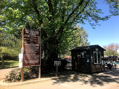
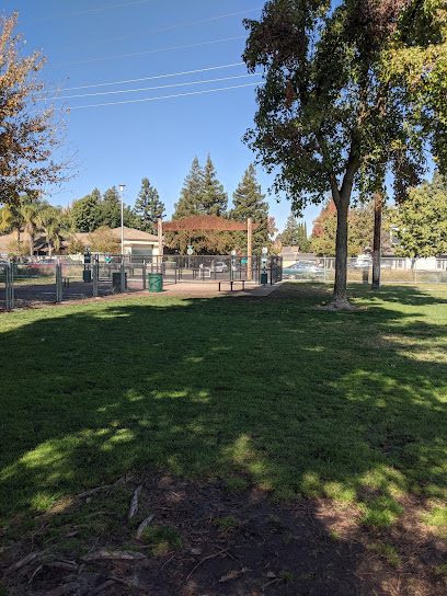
Manteca Dog Park
6.2 km
Unleash the Fun at Manteca Dog Park: A spacious, secure, and community-focused haven where dogs can socialize, exercise, and make new friends in the heart of Manteca, California.
Doxey park
6.3 km
Discover Doxey Park in Manteca, CA: A vibrant community hub with sports facilities, playgrounds, and picnic areas, perfect for family fun and outdoor activities in a welcoming atmosphere.
Antigua Park
6.4 km
Escape to Antigua Park in Manteca, CA, a serene community hub with lush greenery, walking trails, playgrounds, and picnic spots for family fun and relaxation in a natural setting.
Essential places to dine
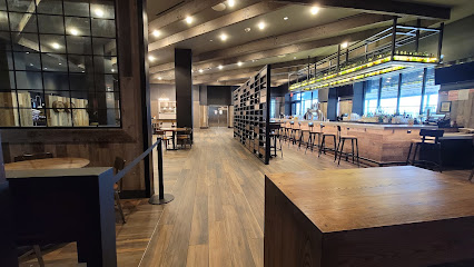
Barnwood Restaurant
3.4 km
Discover Barnwood Restaurant: Your go-to destination for authentic American comfort food in Manteca.
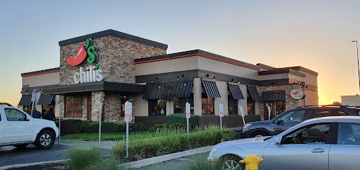
Chili's Grill & Bar
4.2 km
Discover Chili's Grill & Bar in Manteca - where American classics meet Tex-Mex flair in a family-friendly setting.
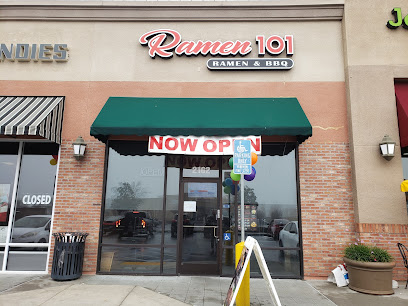
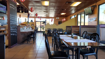
Ramen 101 - Manteca
4.3 km
Discover the authentic taste of Japan at Ramen 101 - Manteca, where each bowl of ramen is crafted with passion and tradition.
Sizzler
4.5 km
Experience the best buffet dining at Sizzler in Manteca with fresh salads, savory seafood, and mouth-watering steaks - perfect for family meals.
MasaLatina
4.9 km
Experience the vibrant flavors of Latin America at MasaLatina in Manteca, California—where every dish tells a story.
Las Casuelas
5.3 km
Experience the vibrant flavors of Mexico at Las Casuelas - where delicious food meets lively ambiance in Manteca.
Shooters Wings & Things
5.5 km
Discover delicious chicken wings and hearty burgers at Shooters Wings & Things in Manteca, California – a must-visit culinary destination.
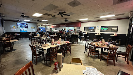
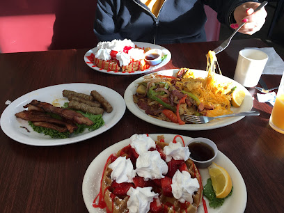
Country Skillets
5.5 km
Discover the heartwarming flavors of brunch at Country Skillets in Manteca - where every meal feels like home.
Sakana Japanese Bistro
5.5 km
Experience authentic Japanese cuisine at Sakana Japanese Bistro in Manteca - where fresh ingredients meet traditional flavors.
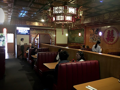
New China Restaurant
5.5 km
Savor the best of Chinese and Japanese flavors at New China Restaurant - A must-visit culinary destination in Manteca, California.
Uncle Frank's Grill
5.8 km
Discover Uncle Frank's Grill in Manteca: A delightful hamburger and sandwich haven offering mouthwatering flavors in a casual setting.
Tato’s Mexican Grill & Cantina
6.6 km
Savor authentic Mexican cuisine at Tato’s Grill & Cantina - where vibrant flavors meet festive atmosphere in Manteca.
Zaika Indian Bistro Bar
6.6 km
Discover the rich flavors of authentic Indian cuisine at Zaika Indian Bistro Bar in Manteca, California - where every dish tells a story.

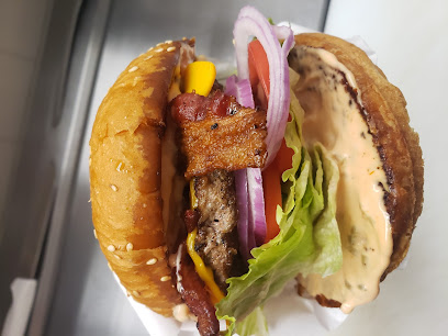
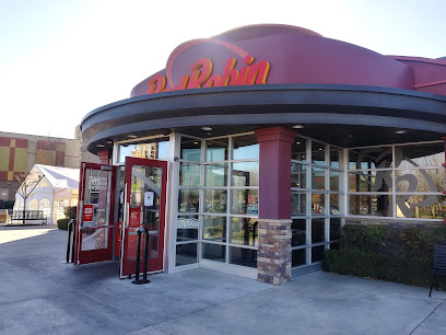
Red Robin Gourmet Burgers and Brews
6.6 km
Discover the ultimate burger experience at Red Robin Gourmet Burgers and Brews in Manteca – where flavor meets fun in a family-friendly setting.
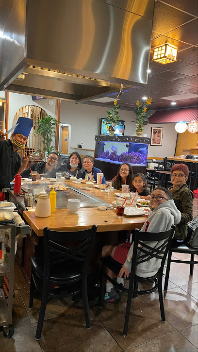
Ichiban Teppanyaki & Sushi
6.8 km
Discover the vibrant flavors of Japan at Ichiban Teppanyaki & Sushi - where culinary art meets exquisite taste.
Markets, malls and hidden boutiques
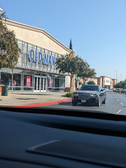
Old Navy
4.0 km
Explore Old Navy in Manteca for stylish, affordable clothing and accessories for the entire family, all while enjoying a fantastic shopping experience.
Stadium Center
4.0 km
Discover the ultimate shopping experience at Stadium Center in Manteca, California, where fashion, food, and fun come together.
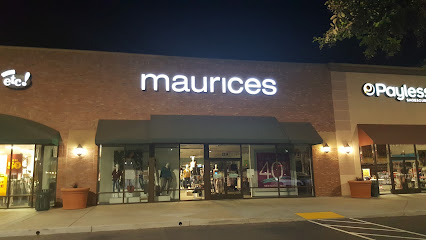
Maurices
4.1 km
Discover stylish women's clothing that celebrates every body type at Maurices in Manteca, California, where fashion meets inclusivity.
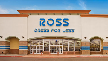
Ross Dress for Less
4.1 km
Discover unbeatable fashion deals at Ross Dress for Less in Manteca, California, offering stylish clothing, shoes, and accessories for the whole family.
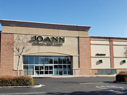
JOANN Fabric and Crafts
4.2 km
Explore JOANN Fabric and Crafts in Manteca, CA - Your one-stop shop for fabrics, art supplies, and endless creative possibilities.
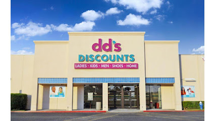
dd's DISCOUNTS
4.2 km
Uncover unbeatable deals at dd's DISCOUNTS in Manteca, your go-to destination for stylish clothing, home essentials, and discounted prices.
Manteca Shopping Center
5.5 km
Discover the vibrant shopping experience at Manteca Shopping Center, where diverse stores and dining options await every visitor in California.
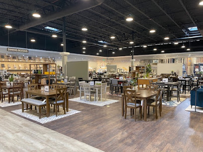
Living Spaces
5.8 km
Discover stylish furniture and home accessories at Living Spaces, Manteca's go-to store for transforming your living space.
War Torn Front
6.1 km
Explore War Torn Front in Manteca, CA – a collector's paradise for trading cards, collectibles, and video games, all in a welcoming atmosphere.

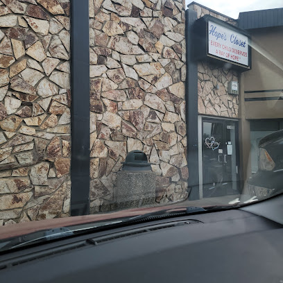
Hope's Closet
6.2 km
Explore trendy kids and teens fashion at Hope's Closet in Manteca, California, where style meets affordability in a vibrant shopping experience.
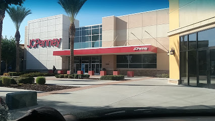
JCPenney
6.3 km
Explore Manteca's JCPenney for an all-in-one shopping experience featuring clothing, furniture, jewelry, and shoes for every taste and occasion.
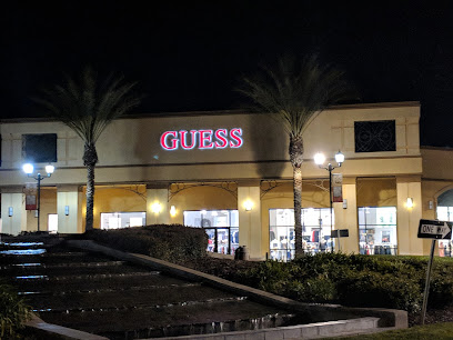
GUESS Factory
6.5 km
Discover stylish apparel and accessories at GUESS Factory in Manteca, California, where fashion meets affordability for everyone.
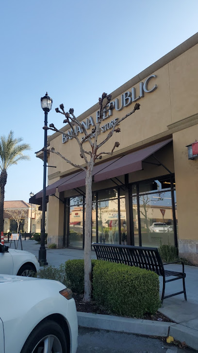
Banana Republic Factory Store
6.5 km
Explore top-notch fashion at Banana Republic Factory Store in Manteca, where style meets affordability in a stylish outlet setting.
Promenade Shops at Orchard Valley
6.5 km
Explore the vibrant Promenade Shops at Orchard Valley, where shopping, dining, and entertainment come together in a beautifully designed space.
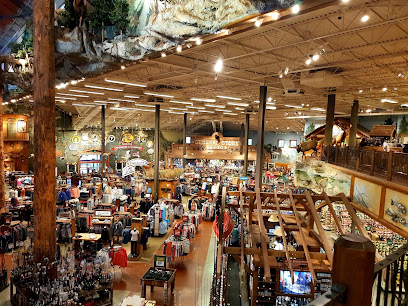
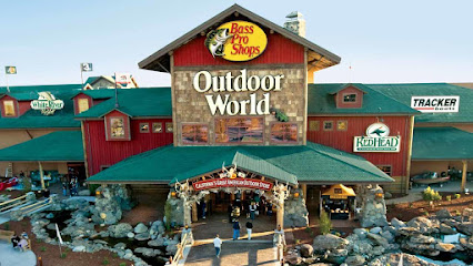
Bass Pro Shops
6.8 km
Discover everything you need for your outdoor adventures at Bass Pro Shops in Manteca, California, from fishing gear to camping supplies and more.
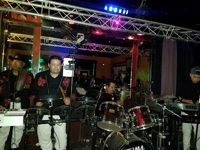
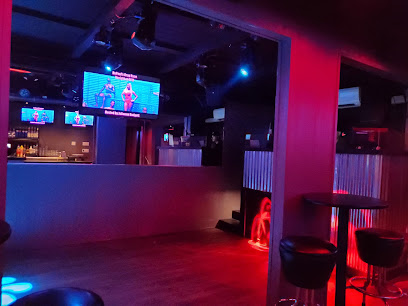
Essential bars & hidden hideouts
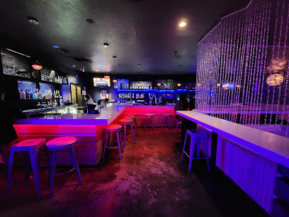
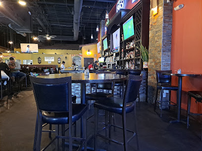
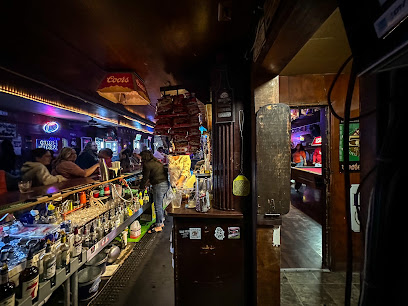
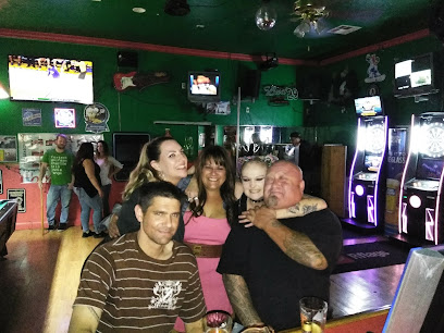
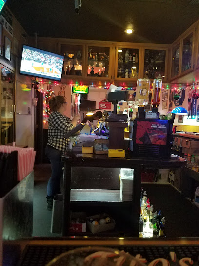
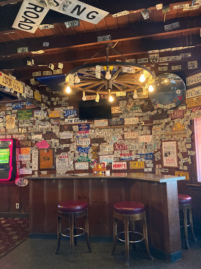
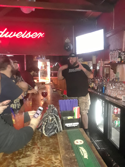
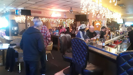
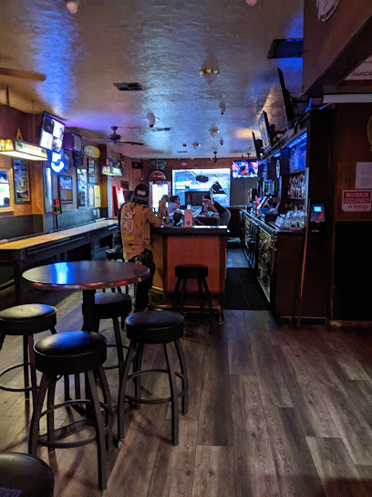
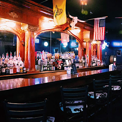
Fireside Inn
4.4 km
Discover Fireside Inn in Lathrop, CA - the ultimate cocktail bar for delightful drinks and a vibrant atmosphere!
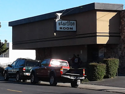
The Starlite Room
6.2 km
Experience the vibrant nightlife at The Starlite Room in Manteca, a cocktail bar serving innovative drinks in a welcoming atmosphere.
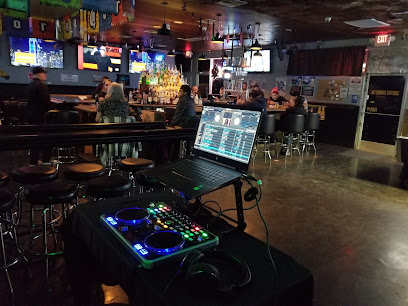
The Xtreme Sports Lounge
7.3 km
Experience the thrill of sports and fun at The Xtreme Sports Lounge in Manteca, California - where adventure meets relaxation.
133 Club
7.5 km
Experience the vibrant nightlife at 133 Club, Manteca's premier cocktail bar offering expertly crafted drinks and a lively atmosphere.
Banta Inn
7.5 km
Discover the unique flavors of Banta Inn, a charming bar and steak house in Tracy, California, where delicious food meets a friendly atmosphere.
The Pub
7.9 km
Experience the lively atmosphere of The Pub in Manteca, California, where delicious food and refreshing drinks await in a cozy setting.
The Rusty Hook Bar
8.6 km
Discover The Rusty Hook Bar in Manteca, California - a vibrant bar with craft drinks and a lively atmosphere perfect for unwinding after a day of exploring.
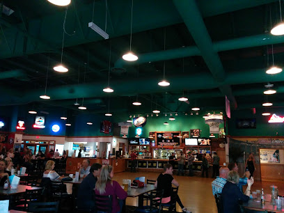
Rookies Sports Bar & Grill
9.2 km
Discover the vibrant atmosphere of Rookies Sports Bar & Grill in Manteca, California, where great food and thrilling sports come together.
TRACY Sports Bar
10.2 km
Discover the lively ambiance of TRACY Sports Bar in Tracy, California, where great drinks, delicious food, and sports unite for an unforgettable night.
MICHELADAS SPORTS BAR
10.5 km
Dive into the lively world of sports at Micheladas Sports Bar, where every game is a celebration and every drink is a delight.
Spare Time Lounge
11.3 km
Discover the vibrant Spare Time Lounge in Tracy, CA, where karaoke meets a lively atmosphere and delicious drinks for an unforgettable night.
Ralph's Club
11.8 km
Discover Ralph's Club in Tracy, a vibrant bar offering great drinks, friendly vibes, and affordable prices for an unforgettable night out.
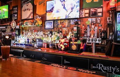
Rusty's
12.1 km
Discover the lively ambiance of Rusty's, Tracy's premier sports bar for delicious food, refreshing drinks, and all your favorite games.
Posto dove vive il gassosaro
12.4 km
Experience the vibrant atmosphere and friendly service at Posto dove vive il gassosaro, the perfect bar in Tracy, California for relaxation and enjoyment.
Broken Arrow Saloon
12.4 km
Discover the lively Broken Arrow Saloon in Tracy, CA, a bar where fun meets flavor in a welcoming atmosphere.
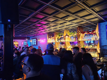
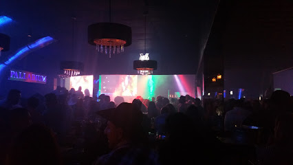
Nightclubs & after hour spots
La Huacana Night club Tracy
10.3 km
Discover the electrifying atmosphere at La Huacana Night Club in Tracy, California, where unforgettable nights of music and dancing await.
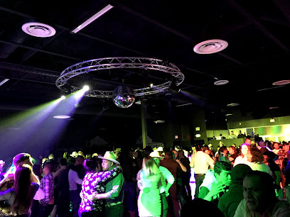
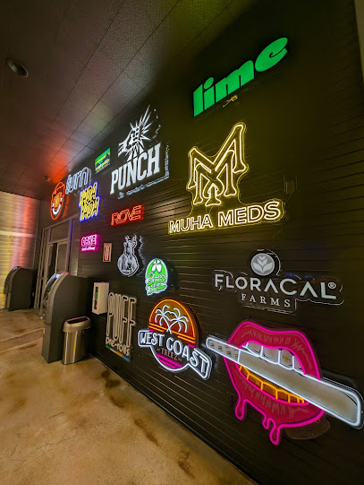
X1
12.6 km
Discover the vibrant atmosphere of X1 Cannabis Club in Tracy, CA, where cannabis culture meets community connection.
CAVOUR CLUB
17.9 km
Discover the vibrant nightlife of Stockton at Cavour Club, where music, dance, and unforgettable moments come together.
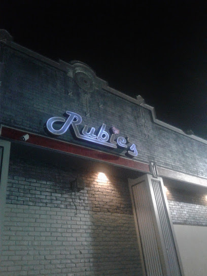
Rubie's
18.3 km
Experience the heart of Stockton's nightlife at Rubie's, where dance and music create unforgettable memories.
Gordo's
19.5 km
Experience the vibrant nightlife at Gordo's, Stockton's premier night club and bar offering affordable drinks, dancing, and great music.
The Hype Bar And Grill
21.6 km
The Hype Bar And Grill: An energetic night club in Stockton offering delicious food, vibrant atmosphere, and unforgettable nightlife experiences.
Deja Vu Showgirls Stockton Strip Club
22.3 km
Explore the vibrant nightlife of Stockton at Deja Vu Showgirls, a premier adult entertainment club offering unforgettable performances and a lively bar atmosphere.
Pitochikoooo chepina
23.4 km
Dive into Stockton's nightlife at Pitochikoooo Chepina, the ultimate night club destination for dancing and entertainment.
Club Princesation and Resort
26.3 km
Discover the electrifying nightlife at Club Princesation and Resort in Stockton, CA, where music, dance, and vibrant energy come together for an unforgettable experience.
Crocodiles Nightclub
27.3 km
Experience the electrifying nightlife of Modesto at Crocodiles Nightclub, where unforgettable memories are made on the dance floor.
Paradise Nightclub
28.2 km
Discover the electrifying atmosphere of Paradise Nightclub, Stockton's premier LGBTQ+ dance venue for unforgettable nights filled with music and joy.
Spotlight Lounge
31.4 km
Discover the electrifying nightlife at Spotlight Lounge in Downtown Modesto, where music, dancing, and vibrant energy come together for an unforgettable experience.
Palladium Nightclub
31.5 km
Experience the vibrant nightlife at Palladium Nightclub in Modesto, where electrifying music and dancing come together for an unforgettable night out.
Splash Bar Modesto
31.6 km
Experience the vibrant nightlife and delicious cuisine at Splash Bar Modesto, a premier gay nightclub and restaurant in California's lively Modesto.
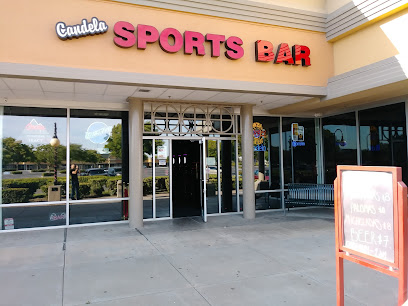
Candela Bar & Nightclub
31.9 km
Discover the vibrant nightlife of Modesto at Candela Bar & Nightclub, where live music, signature cocktails, and unforgettable memories await.