Cerro de la Bandera: A Viewpoint of History and Scenery
Discover panoramic views and a rich history atop Cerro de la Bandera in Puerto Carreño, where three rivers meet.
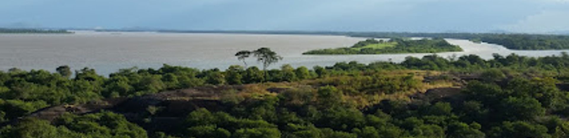
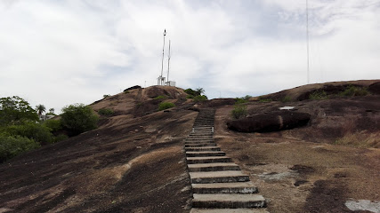
Cerro de la Bandera, or Flag Hill, is a significant historical landmark and the best viewpoint in Puerto Carreño, Colombia. Rising 97 meters, this Precambrian rock formation offers panoramic views of the town and the meeting of the Meta, Bita, and Orinoco rivers.
A brief summary to Cerro de la Bandera
- Puerto Carreño, Vichada, CO
- Visit website
- Monday 6 am-6 pm
- Tuesday 6 am-6 pm
- Wednesday 6 am-6 pm
- Thursday 6 am-6 pm
- Friday 6 am-6 pm
- Saturday 6 am-6 pm
- Sunday 6 am-6 pm
Local tips
- Visit during the dry season (December to March) for the best weather and clear views.
- Wear comfortable shoes for the climb to the top of the hill.
- Bring water and sunscreen, as the area can be hot and exposed.
- Take your time to enjoy the panoramic views and capture photos of the rivers and surrounding landscape.
Getting There
-
Walking
Cerro de la Bandera is located in Barrio la Plazuela, about 15 minutes from the center of Puerto Carreño. From the city center, head towards the Malecón (riverside walk). Follow the road along the river, and you'll find the base of Cerro de la Bandera. The ascent begins from here. There are no entrance fees or special transport costs involved.
-
Taxi
A taxi from anywhere in central Puerto Carreño to the base of Cerro de la Bandera will cost approximately 5,000-8,000 COP. Taxis are readily available throughout the town. From the drop-off point, the ascent to the summit is on foot. There are no parking fees.
Discover more about Cerro de la Bandera
Iconic landmarks you can’t miss
Asamblea Departamental del Vichada
0.5 km
Explore the Asamblea Departamental del Vichada in Puerto Carreño, a key government hub that reflects the region's culture and commitment to community governance.

Gobernación Del Vichada
0.5 km
Explore the Gobernación del Vichada, the heart of local governance and a gateway to the stunning landscapes and culture of the Colombian Llanos.
El Tiestero
5.1 km
Discover the serene relaxation of El Tiestero in Puerto Carreño, Vichada – a public bath oasis perfect for unwinding and connecting with nature.
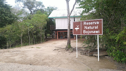
Reserva Bojonawi
8.8 km
Experience the serene beauty of Reserva Bojonawi in Vichada, Colombia—a natural retreat teeming with wildlife and breathtaking landscapes.
por visitar
73.0 km
Experience the natural beauty and vibrant culture of Puerto Carreño, a hidden gem in Colombia's Vichada region, perfect for adventure seekers and nature lovers.
Essential places to dine
Panadería El Puerto
0.4 km
Discover authentic Colombian flavors at Panadería El Puerto - your go-to café in Puerto Carreño for fresh pastries and local coffee.

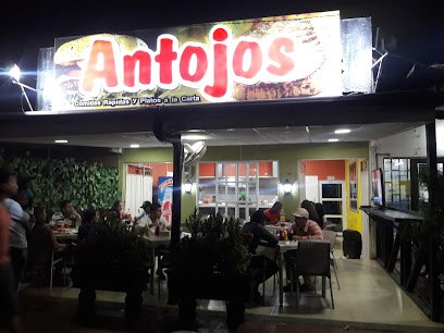
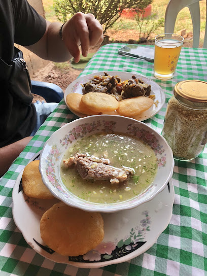
Restaurante Antojos
0.5 km
Experience authentic Vichada cuisine at Restaurante Antojos – where local flavors meet a warm atmosphere in Puerto Carreño.
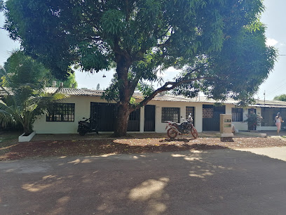
Pinino Gourmet
0.5 km
Experience the authentic taste of Colombia at Pinino Gourmet in Puerto Carreño - where local ingredients meet culinary excellence.
Pizzas by Carlos
0.5 km
Experience the best pizzas in Puerto Carreño at Pizzas by Carlos, where authentic flavors meet local charm for an unforgettable meal.
Licorera 9 18
0.9 km
Discover Licorera 9 18: A vibrant bar in Puerto Carreño offering local drinks and lively entertainment.
Casa Hotel Victoria
1.0 km
Experience comfort and local charm at Casa Hotel Victoria, your gateway to exploring the natural wonders of Puerto Carreño, Vichada.
Puerto Carreño vichada
1.0 km
Explore Puerto Carreño: A Hidden Gem in Vichada Offering Vibrant Culture, Delicious Brunches, and Stunning Natural Beauty.
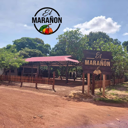
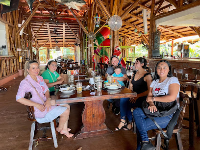
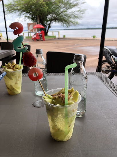
Merey Bar & Restaurant
2.2 km
Savor authentic Colombian cuisine at Merey Bar & Restaurant in Puerto Carreño - A culinary journey through vibrant flavors.
Cayenas Club
3.8 km
Experience authentic Colombian flavors at Cayenas Club in Puerto Carreño - where culinary delights meet warm hospitality amidst stunning landscapes.
Hacienda Los Amores
23.4 km
Experience serene lodging at Hacienda Los Amores in Puerto Carreño - where nature meets comfort amidst Colombia's stunning landscapes.
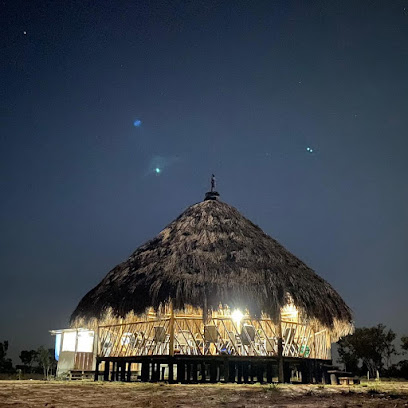
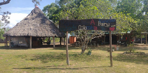
Rancho Barú
72.7 km
Experience serenity at Rancho Barú - A tranquil hotel in Puerto Carreño offering local cuisine and warm hospitality amidst stunning natural beauty.
Markets, malls and hidden boutiques
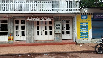
Orinoco Arts and Crafts
0.4 km
Explore the vibrant culture of Vichada through unique handcrafted treasures at Orinoco Arts and Crafts in Puerto Carreño.
Venezuelan Llanos
55.4 km
Explore the breathtaking Venezuelan Llanos, a nature preserve filled with diverse wildlife, stunning landscapes, and rich cultural experiences.
Essential bars & hidden hideouts
City Orinoco
0.3 km
Experience the vibrant nightlife of City Orinoco in Puerto Carreño, Vichada, where local culture meets refreshing cocktails and lively music.
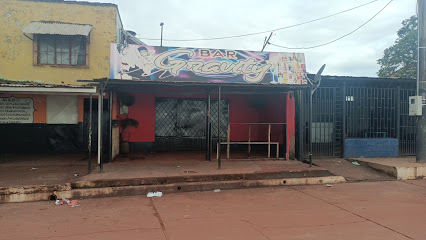
Bar Gravity
0.6 km
Discover the vibrant nightlife of Puerto Carreño at Bar Gravity, where local drinks and a lively atmosphere await you.
La Grama Bar
0.7 km
Discover the lively atmosphere and local charm at La Grama Bar in Puerto Carreño, where unforgettable nights await.
Cafe Bar La Oficina
0.9 km
Discover the vibrant atmosphere of Cafe Bar La Oficina in Puerto Carreño, where local culture meets refreshing drinks and delightful bites.
Kcique Bar
1.1 km
Discover the lively Kcique Bar in Puerto Carreño, where delicious drinks and vibrant atmosphere meet for an unforgettable night out.
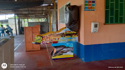
Estadero Mirador Doña Flor
1.2 km
Discover the charm of Estadero Mirador Doña Flor, a bar in Puerto Carreño offering local drinks and stunning views for an unforgettable experience.
Capachos Cafe Bar
1.6 km
Experience lively karaoke nights at Capachos Cafe Bar in Puerto Carreño, where music meets local charm and unforgettable memories are made.
Eliceo
1.9 km
Experience the vibrant nightlife at Eliceo, Puerto Carreño's favorite bar, and enjoy local drinks in a lively atmosphere.
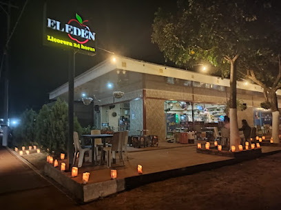
Licorera Bar El Eden
2.0 km
Discover the lively Licorera Bar El Eden in Puerto Carreño, where vibrant nightlife meets friendly faces and refreshing drinks.
El LIMÓN
4.8 km
Experience the vibrant nightlife and local culture at El LIMÓN, a lively bar in Puerto Carreño, Vichada, perfect for unwinding and socializing.


