Mount Blue Sky, Southern Colorado Travel Guide
Reach the roof of North America on the highest paved road, offering stunning views and alpine adventures. Closed until 2026 for road repairs.
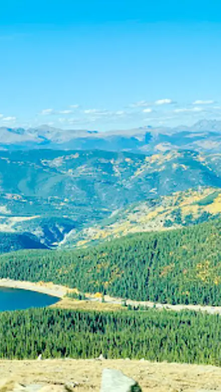
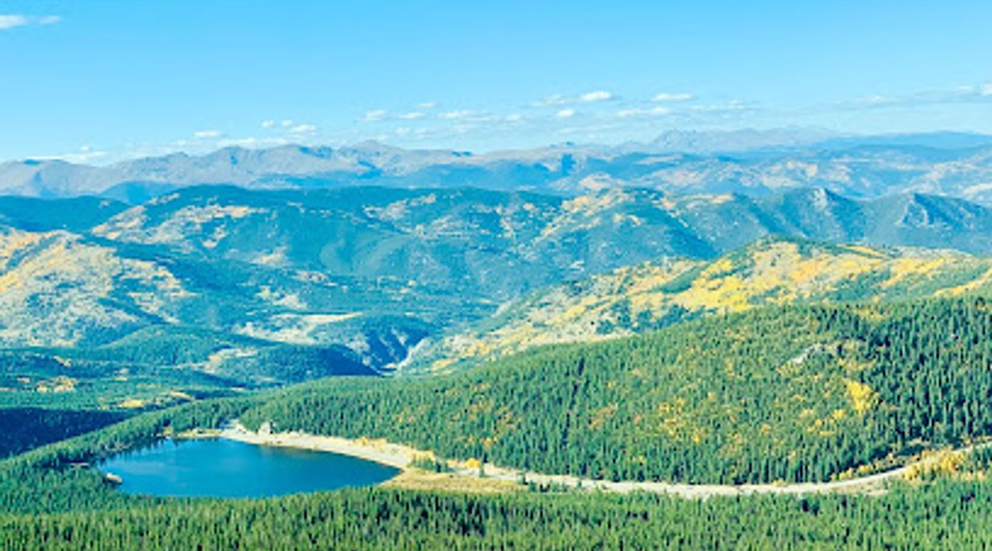
Ascend to the top of the highest paved road in North America at Mount Blue Sky, formerly known as Mount Evans, offering unparalleled views of the Continental Divide and the Front Range. This 14,130-foot peak provides a unique alpine experience with opportunities for hiking and wildlife viewing, but is currently closed to motorized and non-motorized travel until 2026 for road repairs.
A brief summary to Mount Blue Sky
- Mount Blue Sky Rd, Evergreen, Colorado, 80439, US
- Click to display
- Click to display

Know before you go
Hi, I'm Eve. Here are a few practical things to know before exploring Mount Blue Sky.
- Check the official USDA Forest Service website for current conditions, road closures, and reservation requirements before planning your visit.
- Even in summer, temperatures at the summit can be cold and the weather can change rapidly; bring layers of warm clothing.
- Due to the high altitude, take it slow and make frequent stops to avoid altitude sickness.
- Reservations are required to access the area and can be made up to 30 days in advance.
- Be prepared for slow and possibly difficult driving conditions on the winding road.
Do you manage this location?
Take control to get all the benefits, like improved information, better appearance, and stronger visibility across AI-powered discovery. Learn more about listing your business on Evendo
Activate your presenceOther nearby places you may find interesting
The closest places of the same kind, if this one is not quite what you had in mind.
Explore Mount Blue Sky on the Map
A handpicked selection of must-see spots near Mount Blue Sky, mapped for you.
Unlock the Best of Mount Blue Sky
Buy tickets
-
No tickets available
Book tours with entry


Getting There
-
Driving
Currently, the Mount Blue Sky Highway is closed to vehicular traffic through 2025 and is scheduled to reopen Memorial Day weekend in 2026. When open, to reach Mount Blue Sky, start from Idaho Springs, located off I-70. Take Exit 240 and follow Highway 103 south for 14 miles until you reach Echo Lake. From there, connect to Highway 5, also known as the Mount Blue Sky Scenic Byway, and proceed approximately 14 miles to the summit. Note that a timed-entry reservation is required to access the byway. Reservations can be made online at Recreation.gov. There is a per-vehicle fee of $15 plus a $2 reservation fee. Please note that vehicles over 30 feet in length are not recommended on Highway 5 due to the steep, narrow, and winding road.
-
Hiking
During the road closure, access to Mount Blue Sky's summit is only available via hiking trails. One option is to hike from Summit Lake. To get to Summit Lake, follow the driving directions above. You can park in the small pullout before Summit Lake without a parking reservation, but it fills up quickly. Be aware that there may be limited parking. From Summit Lake, a difficult 5.3-mile trail with a 2,060 foot elevation change leads to the summit. This route involves scrambling and route finding, so it is not for beginners.
Discover more about Mount Blue Sky













Your all‑in‑one travel companion app
Explore expert travel guides, compare and book tours, experiences, hotels, and more—all from the palm of your hand. Download now for seamless trip planning wherever your wanderlust takes you.


Explore More of Southern Colorado
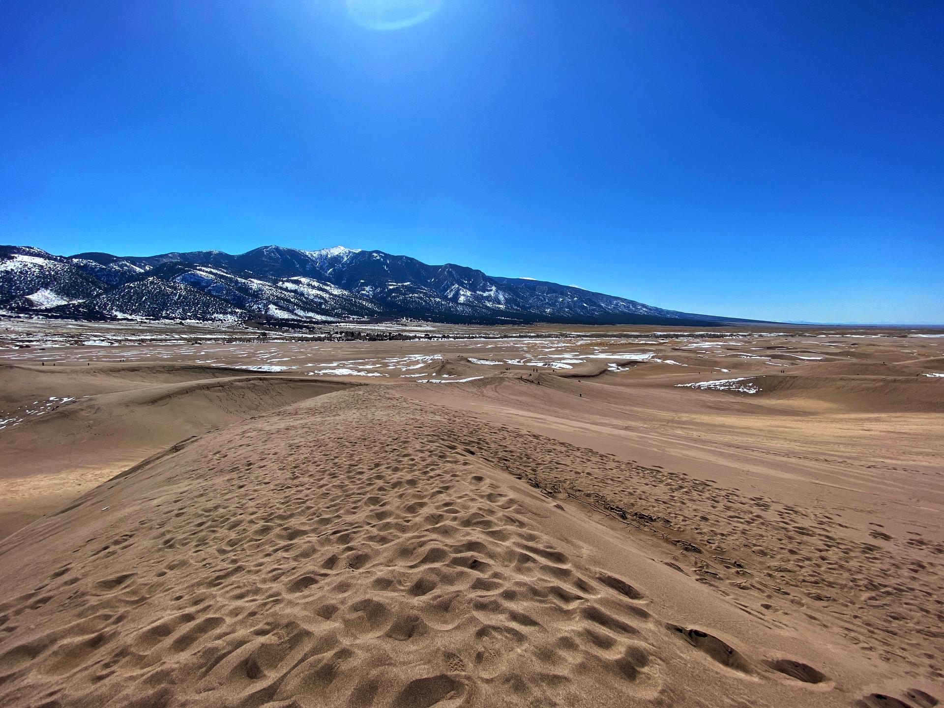
Looking beyond Mount Blue Sky? Discover Southern Colorado for broader travel guides, local hot-spots, and regional highlights.
Explore Southern Colorado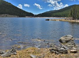
Discover stunning mountain scenery, hiking trails, and a peaceful alpine lake at the base of Mount Blue Sky, near Evergreen, Colorado.
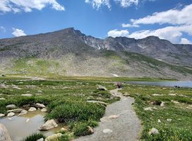
Discover breathtaking alpine scenery and rare tundra at Summit Lake Park, the highest city park in North America, along Colorado's Mount Blue Sky Scenic Byway.