Himmelbjerget rutebåd
Himmelbjerget

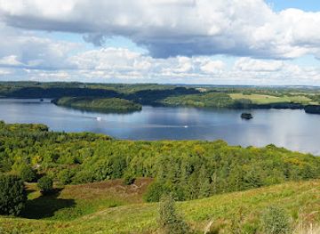
Medieval fortress ruin commanding Juulsø lake, where 14th-century power and water strategy converge.
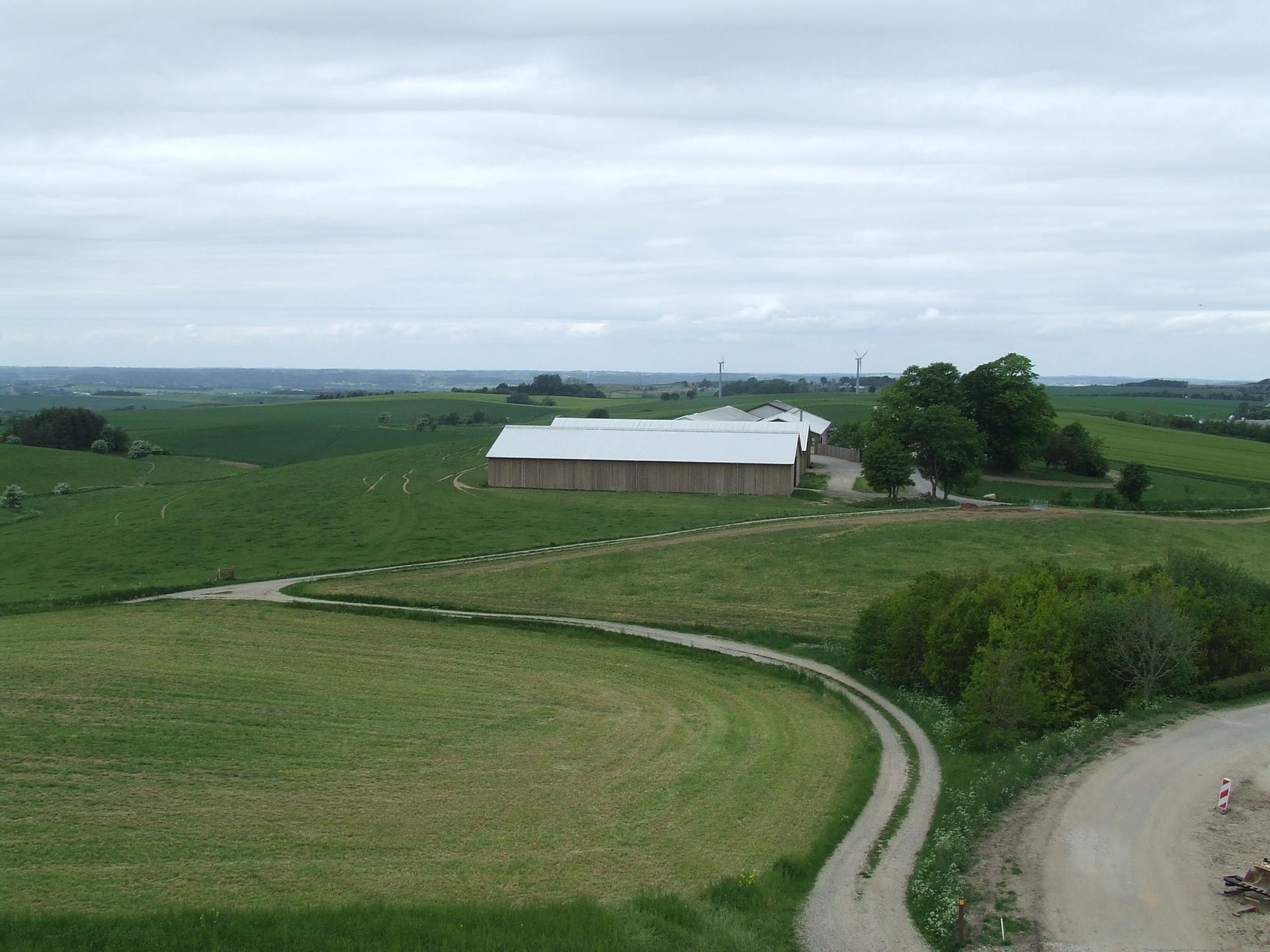
A striking medieval fortress ruin on a peninsula jutting into Juulsø lake near Silkeborg, Denmark. The site features a 12-meter-high rampart bank surrounded by defensive ditches, remnants of a fortified structure that once controlled waterway traffic along the Gudenå river system. Dating to the 14th–15th centuries, Dynæs exemplifies medieval military strategy in Denmark's turbulent post-Valdemar era. Public access via footpath; no facilities nearby.
Opening times, essentials, and a few local tips gathered into one calmer, easier-to-scan planning section.
Bus from Silkeborg Town Centre
Local buses serve the Silkeborg area with connections to nearby stops; journey time approximately 10–15 minutes depending on route. Service frequency varies seasonally; check local transport schedules. No direct stop at the site; final approach requires a 10–15 minute walk from the nearest bus stop along residential streets and a footpath between buildings to reach the peninsula entrance.
Bicycle from Silkeborg Town Centre
Silkeborg is well-connected by cycling routes; the journey from town centre to Dynæs is approximately 3–4 kilometers and takes 15–20 minutes on flat terrain. Follow local cycle paths toward the lake shore. No dedicated parking for bicycles at the site, but the approach is accessible year-round. Terrain is easy to moderate.
Walking from Silkeborg Town Centre
A scenic walk of approximately 1.5–2 kilometers takes 25–35 minutes from Silkeborg town centre. Follow paths toward the lake shore and Juulsø; the final approach is via a footpath between residential buildings and along the lake edge. Terrain is flat to gently rolling; the site itself requires climbing a steep 12-meter rampart.
Car via Regional Roads
Dynæs is accessible by car from Silkeborg via local roads; journey time approximately 5–10 minutes depending on starting point. However, there is no dedicated parking area in immediate proximity to the site. Visitors must park in nearby residential areas or Silkeborg town and walk the final distance. The narrow peninsula approach is not suitable for vehicle access.
Use Dynæs voldsted as your starting point for nearby food, family ideas, nightlife, and more local discoveries.
A quick look at seasonal patterns and peak visiting hours.

Explore expert travel guides, compare and book tours, experiences, hotels, and more—all from the palm of your hand. Download now for seamless trip planning wherever your wanderlust takes you.
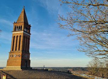
Experience the serene beauty and panoramic views of Møllehøj, Denmark's highest natural point, perfect for nature lovers and photographers alike.
Tell me more about Mollehoj