Rømø Island
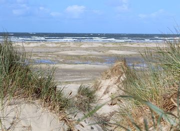
A wind-swept Wadden Sea island of endless sand, tidal flats and maritime heritage, where drivable beaches, kites and wild dunes meet North Sea light and migrating birds.
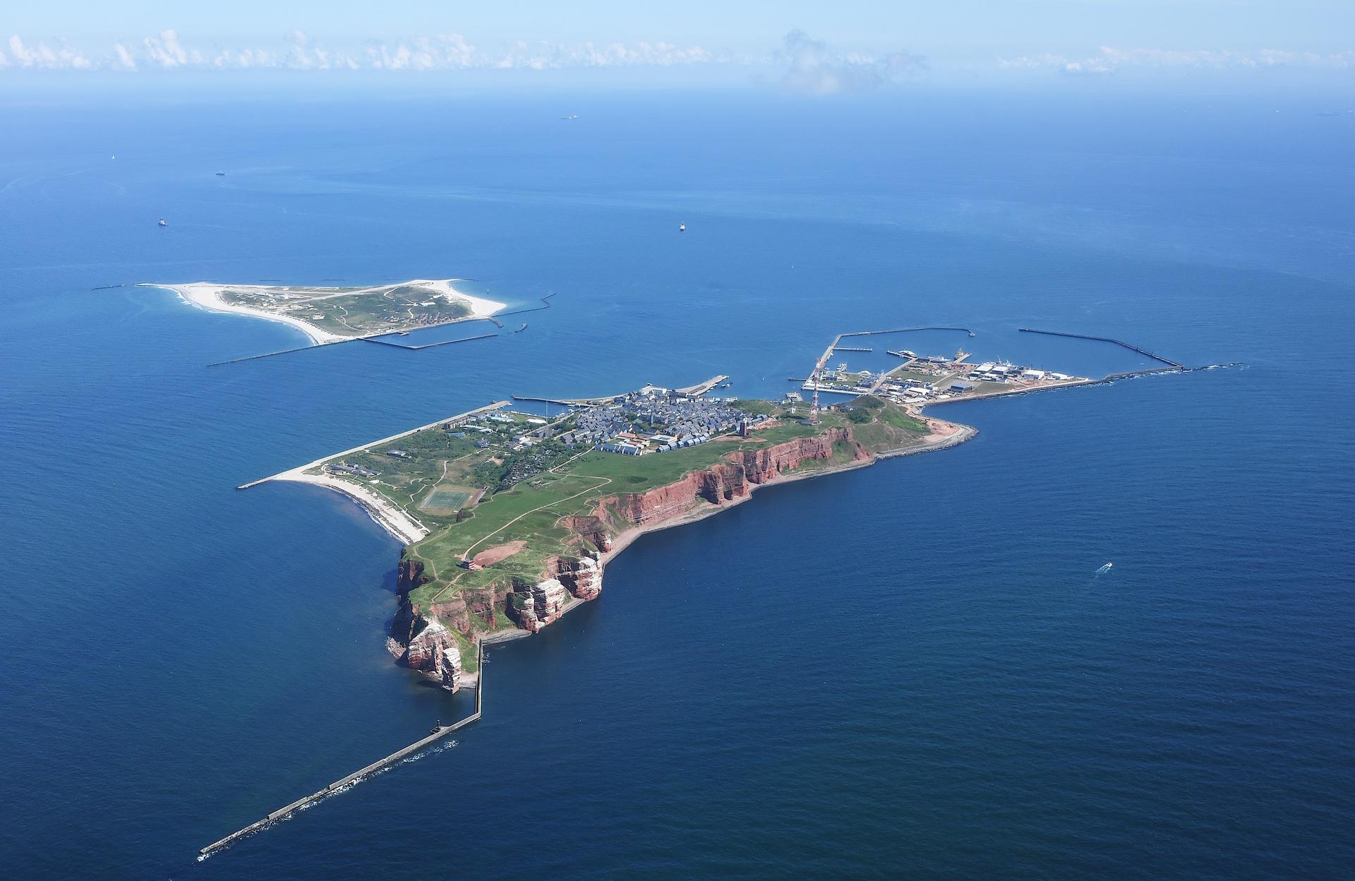
Where the Wadden Sea Meets the North Sea
Rømø sits just off the coast of southern Jutland, the southernmost of Denmark’s Wadden Sea islands and one of the largest, with more than 120 square kilometres of dunes, heath and salt marsh. Although it is easily reached via a long, low causeway over the tidal flats, the island feels distinctly separate from the mainland, ringed by big skies and the rumble of the North Sea. To the east lies the UNESCO-listed Wadden Sea, with mudflats and sandbanks exposed at low tide; to the west, the ocean stretches seemingly without end. This geographic position has shaped everything about Rømø: the dramatic tides, the unusual mix of habitats, and the sense that land and sea are constantly negotiating their boundaries. Shallow tidal channels snake across the mud, migratory birds feed in dense flocks, and patches of hardy grass cling to the shifting sands. Even on a busy summer day, it is easy to walk a few minutes and be alone with the sound of wind and waves.Endless Sand and Wind on Lakolk and Sønderstrand
Rømø is best known for its enormous beaches, among the widest in northern Europe. At Lakolk and Sønderstrand, the sand extends for hundreds of meters from the dunes to the waterline, forming a broad, hard-packed plain at low tide. Here, driving on the beach is permitted in designated areas, a rarity in Denmark and a key part of the island’s character. Cars, campervans and surfers share the open expanse, framed by rolling dunes and white-crested waves. The same constant wind that shapes the dunes also powers a culture of speed and play. On calm days, the beaches host kite buggies, blokarts and land yachts racing across the flat sand, while colourful kites add streaks of red, blue and yellow to the sky. In early September, one of Europe’s largest kite festivals transforms the beach into a floating gallery of intricate designs. When the tide comes in and the wind picks up, the scene shifts to windsurfing, kitesurfing and long walks along the water’s edge.Whaling Captains, Maritime Wealth and Rural Churches
Behind the dunes, Rømø’s inland villages tell a quieter story of seafaring wealth and rural survival. In the 18th and 19th centuries, many local men sailed as commanders on long whaling voyages, bringing home enough income to build ornate farmhouses. At the Kommandørgård, now a museum, a traditional commander’s farm displays panelled interiors, carved furniture and maritime artefacts, including a whale skeleton that hints at the global reach of these islanders. Nearby, St Clement’s Church anchors the community with its whitewashed walls and simple tower. Inside, ship models hang from the vaults, a reminder of the island’s dependence on the sea. Gravestones and memorials record generations of sailors, some lost far from home. These buildings, together with scattered thatched houses and wind-bent trees, create a rural landscape that feels both Danish and distinctly shaped by the North Sea.Nature, Migration and a Living Tidal Landscape
Rømø is embedded in the wider Wadden Sea ecosystem, one of Europe’s great wetlands and a critical stopover for millions of migratory birds. Salt marshes on the island’s eastern side flood and drain with the tides, creating feeding grounds for waders and wildfowl. In autumn and spring, the skies can fill with skeins of geese and swirling flocks of starlings, part of a larger spectacle that stretches along the coast. Marked walking routes thread through plantations such as Tvismark, Kirkeby and Vråby, where conifer stands alternate with open heath and sandy clearings. Boardwalks and sandy paths lead into dune areas rich with lichens, heather and coastal grasses. Guided nature tours introduce visitors to the subtle life of the mudflats—worms, shellfish, crabs and oysters that underpin the food web—as well as to bunkers and concrete remnants that recall the island’s role in 20th-century conflicts.Island Atmosphere, Seasons and Everyday Life
Despite its modest permanent population, Rømø carries the rhythm of both a working island and a holiday destination. Fishing boats still operate out of Havneby, where a modern harbour serves both commercial vessels and the ferry that links the island to its German neighbour. Small shops, cafés and smokehouses cluster near the main settlements, offering local fish, pastries and simple meals between beach excursions. The island’s mood shifts with the seasons. Summer brings long, bright evenings, warm sand and families spread out across the shore. In winter, the beach empties, the wind sharpens, and the dunes feel wilder, with storms reshaping the coastline and frost stiffening the marsh. Yet even in the coldest months, the causeway connects Rømø to the mainland, and the island remains a place to watch the weather roll in, listen to the surf and sense how tightly daily life is woven to sea and sky.Local tips
- Check tide tables before planning long beach walks or mudflat excursions, as water levels and driving zones on Lakolk and Sønderstrand change dramatically with the tides.
- Bring windproof layers, even in summer; the wide open beaches amplify the breeze, and conditions can feel cooler than inland.
- If you plan to drive on the beach, keep to the firm, marked areas, avoid soft sand and rising water, and never park close to the tide line.
- Set aside time to visit Kommandørgård and St Clement’s Church to understand the island’s whaling and maritime past beyond the modern beach scene.
- For birdwatching and quieter walks, aim for spring or autumn weekdays when migration is intense but the island is less busy than high summer.
A brief summary to Rømø
- Tønder Municipality, DK
Getting There
-
Car from mainland Jutland
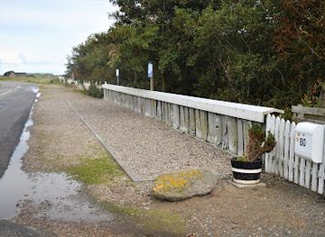
From the surrounding towns in southern Jutland, most visitors reach Rømø by car via the Rømø causeway, a free road built across the Wadden Sea. Driving from the regional town of Tønder typically takes around 45–60 minutes depending on traffic. The causeway is open year-round but can feel exposed in strong winds or heavy rain, so reduce speed in poor weather. Once on the island, expect simple two-lane roads and free or low-cost parking areas near Lakolk, Sønderstrand and Havneby.
-
Regional bus from Skærbæk
Public bus route 285 links Skærbæk on the mainland with several stops on Rømø, including Nørre Tvismark, Lakolk, Kongsmark and Havneby. The ride across the causeway and onto the island usually takes about 30–45 minutes from Skærbæk, with 5–7 departures on weekdays and fewer services at weekends. Standard regional bus fares apply, generally in the range of 25–60 DKK per adult depending on distance, and tickets can be bought at machines, via local travel apps or directly from the driver when boarding.
-
Train and bus combination via Skærbæk
If you are travelling by train within Denmark, a common route is to take a regional train to Skærbæk station and transfer to bus 285 for the final leg onto Rømø. The train journey from larger hubs in southern Jutland to Skærbæk can take 30–90 minutes, with onward bus connections of a further 30–45 minutes. Combined train and bus tickets are usually available through national journey planners, and total one-way costs often fall between 80–180 DKK per adult depending on origin and ticket type.
-
Ferry connection from Sylt
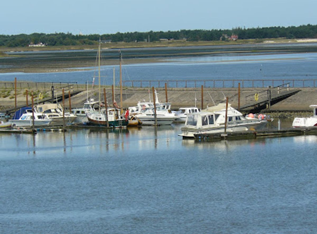
Travellers already on the neighbouring German island of Sylt can reach Rømø via the car and passenger ferry that sails between List and Havneby. The crossing over the Lister Deep typically takes about 40 minutes each way and runs several times daily in most seasons, with fewer sailings in winter. Fares vary by vehicle size and season but are commonly in the range of 250–700 DKK for a car with passengers one way, with cheaper options for foot travellers and bicycles. Advance booking is recommended in summer and during holidays.