Slættaratindur, Gjogv Travel Guide
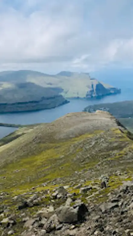
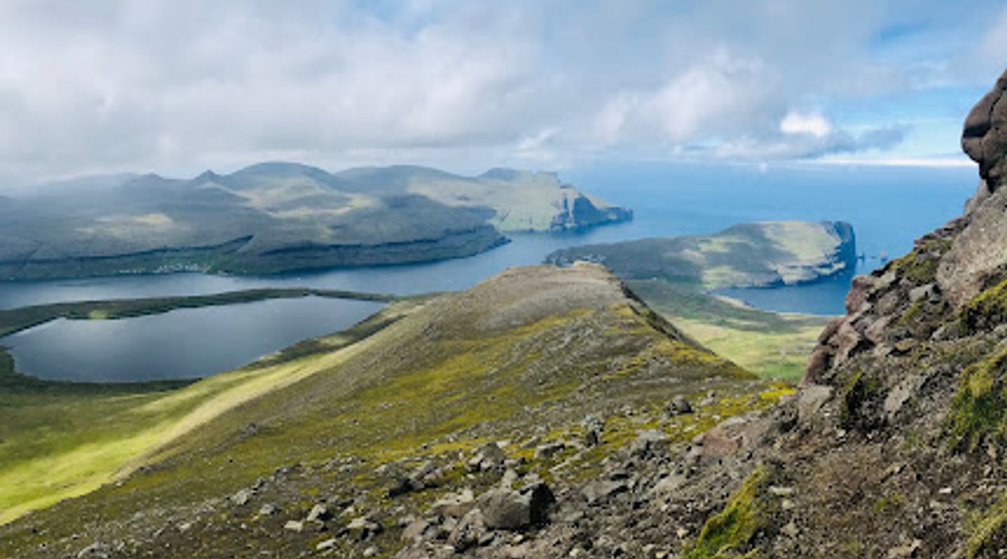
Experience the breathtaking views from Slættaratindur, the highest peak in the Faroe Islands, where adventure meets stunning natural beauty.
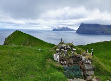
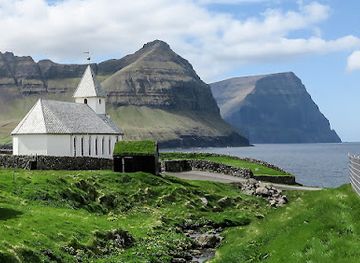
Slættaratindur, the highest peak in the Faroe Islands, offers an exhilarating journey for adventurous tourists. Standing at 880 meters, it provides breathtaking panoramic views of the surrounding islands, dramatic cliffs, and the vast Atlantic Ocean. The trek to the summit is rewarding, showcasing the natural beauty of the rugged landscape and the unique flora and fauna that call this region home. For nature lovers and hiking enthusiasts, Slættaratindur is an unmissable experience.
A brief summary to Slættaratindur
- FO

Know before you go
Hi, I'm Eve. Here are a few practical things to know before exploring Slættaratindur.
- Wear sturdy hiking boots for a comfortable and safe ascent.
- Check the weather forecast before your hike, as conditions can change quickly.
- Start your hike early in the day to avoid crowds and enjoy a quieter experience.
- Bring plenty of water and snacks to stay energized during the trek.
- Consider hiring a local guide for insights into the area's natural history and safety tips.
Do you manage this location?
Take control to get all the benefits, like improved information, better appearance, and stronger visibility across AI-powered discovery. Learn more about listing your business on Evendo
Activate your presenceOther nearby places you may find interesting
The closest places of the same kind, if this one is not quite what you had in mind.
Explore Slættaratindur on the Map
A handpicked selection of must-see spots near Slættaratindur, mapped for you.
Getting There
-
Car
From Gjógv, head south on the main road (Route 62). Follow the road for about 12 kilometers until you reach the junction near the village of Eiði. Turn left onto Route 10 towards Slættaratindur. Continue for approximately 6 kilometers, and you will see signs directing you to the Slættaratindur trailhead. There is a small parking area at the trailhead where you can leave your vehicle. Please note that parking may be limited, especially during peak tourist season.
-
Public Transportation
If you prefer to use public transportation, take the bus from Gjógv to Eiði. The bus services may vary, so it is advisable to check the latest schedule on the Faroe Islands public transport website. Once you arrive in Eiði, you can either walk or take a taxi to the Slættaratindur trailhead. The walk is approximately 6 kilometers and will take about 1.5 hours. Be sure to check local taxi services for availability and costs, as they may vary.
-
Hiking
Once you arrive at the Slættaratindur trailhead, follow the marked hiking trail that leads up to the summit. The hike is about 3.5 kilometers one way and is considered moderate in difficulty. The ascent will provide stunning views of the surrounding landscape, so take your time and enjoy the scenery. Make sure to wear appropriate hiking gear, and carry water and snacks for your journey.
Discover more about Slættaratindur













Your all‑in‑one travel companion app
Explore expert travel guides, compare and book tours, experiences, hotels, and more—all from the palm of your hand. Download now for seamless trip planning wherever your wanderlust takes you.


Explore More of Gjogv
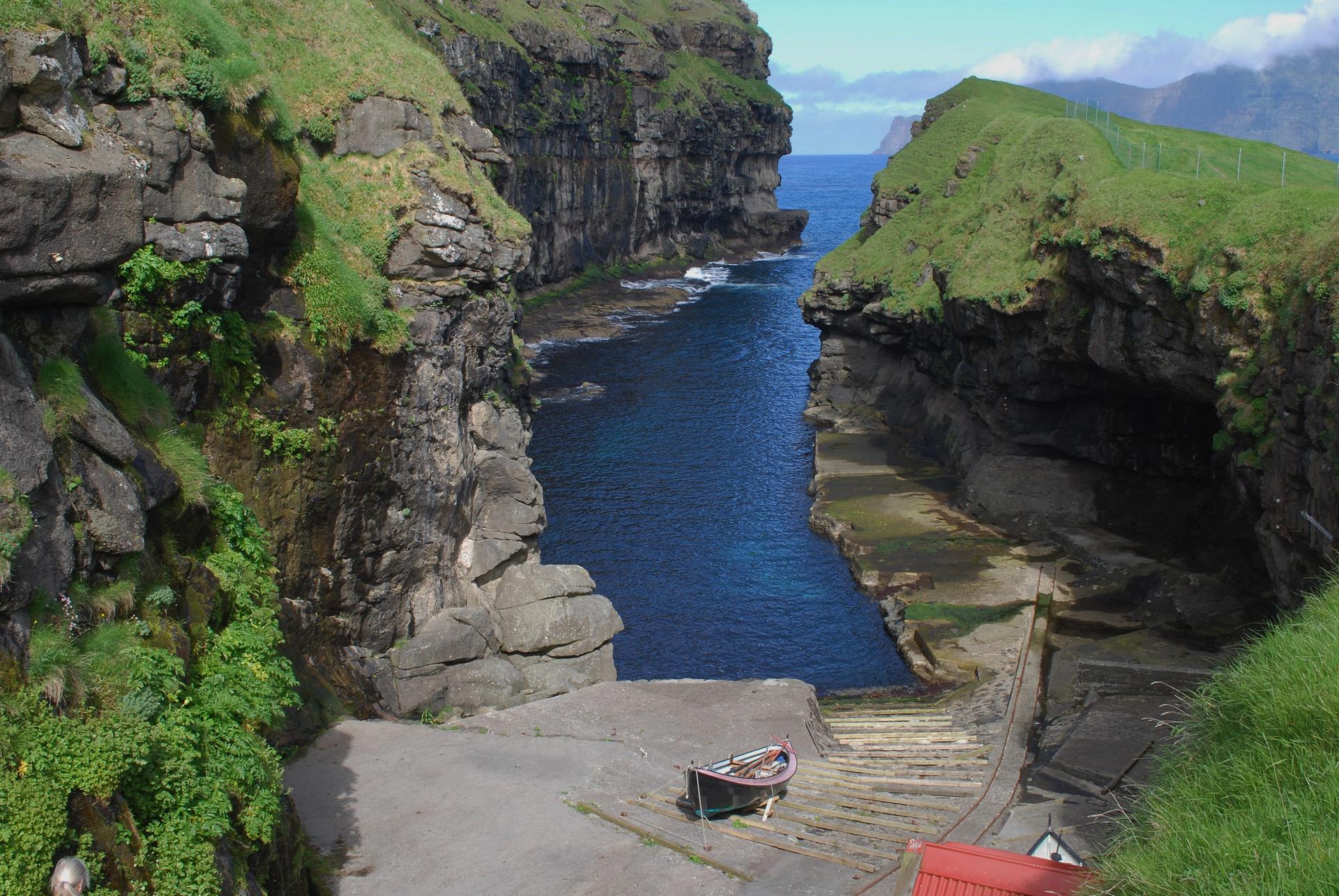
Looking beyond Slættaratindur? Discover Gjogv for broader travel guides, local hot-spots, and regional highlights.
Explore Gjogv