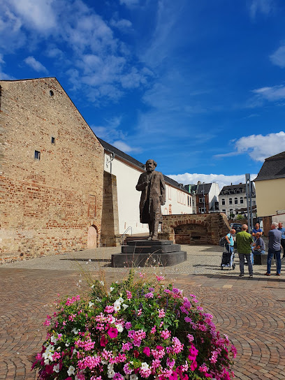
Explore the Walkable Geological Map of Rheinland-Pfalz
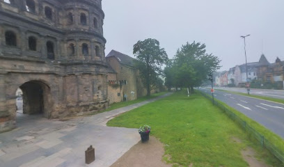
Discover the unique geological heritage of Rheinland-Pfalz at the Walkable Geological Map in Trier, a captivating outdoor attraction for all ages.
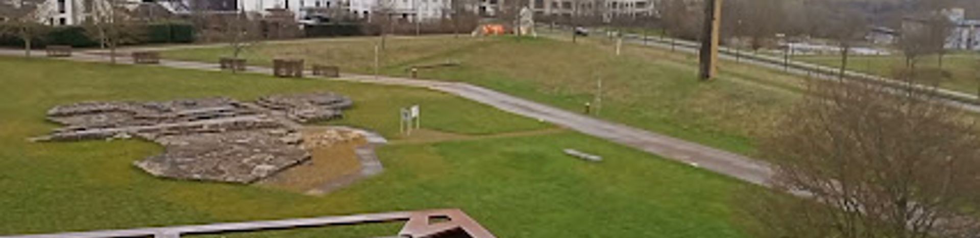
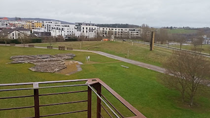
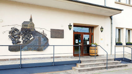
Uncover the geological wonders of Rheinland-Pfalz with the Begehbare geologische Karte, a unique outdoor attraction in Trier that allows visitors to walk through a fascinating geological history. This interactive map offers insights into the region's rich geological diversity, making it a must-visit for nature lovers and geology enthusiasts alike.
A brief summary to Begehbare geologische Karte von Rheinland-Pfalz
- Trier, Kürenz, 54296, DE
Local tips
- Wear comfortable shoes to explore the map thoroughly.
- Bring a camera to capture the stunning geological formations.
- Visit during the day for the best lighting and visibility of the features.
- Check the local weather forecast before your visit to enjoy a pleasant experience.
- Consider visiting with a guide for a more in-depth understanding of the geology.
Getting There
-
Car
If you are traveling by car, start by navigating to Trier. Input the destination as 'Begehbare geologische Karte von Rheinland-Pfalz, 54296 Trier' into your GPS. The specific coordinates are 49.751828 latitude and 6.675415 longitude. There is free parking available nearby. Upon arrival, look for signs leading to the geological map area.
-
Public Transportation
For public transportation, take a train to Trier Central Station (Trier Hauptbahnhof). From the station, you can take bus number 6 towards 'Kürenz' and get off at the stop 'Kürenz, Am Wasserturm'. From there, it is a short 10-minute walk to the Begehbare geologische Karte. Follow the signs or use a map application for walking directions.
-
Walking
If you are already in the vicinity of Trier, you can walk to the Begehbare geologische Karte. Start from the city center (Marktplatz) and head northwest towards the Mosel river. Cross the Mosel and continue on the Hauptstraße until you reach the intersection with Am Wasserturm. Turn left and follow the signs for the geological map, which should be nearby.
Discover more about Begehbare geologische Karte von Rheinland-Pfalz
Iconic landmarks you can’t miss
Begehbare geologische Karte von Rheinland-Pfalz
0.0 km
Discover the Begehbare geologische Karte von Rheinland-Pfalz in Trier, a walkable geological map showcasing the rich geological history of the region.
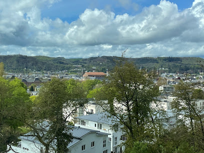
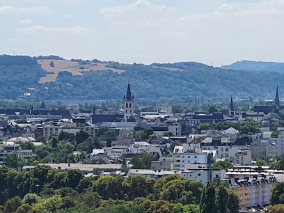
Petrisberg Aussicht
1.7 km
Experience breathtaking views of Trier’s historic landscapes from Petrisberg Aussicht, the ultimate observation deck in Germany.
Liebfrauenkirche, Trier
2.4 km
Discover the architectural splendor of Liebfrauenkirche in Trier, a stunning Catholic church blending Gothic and Romanesque styles, rich in history and beauty.
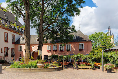
Palais Kesselstatt
2.4 km
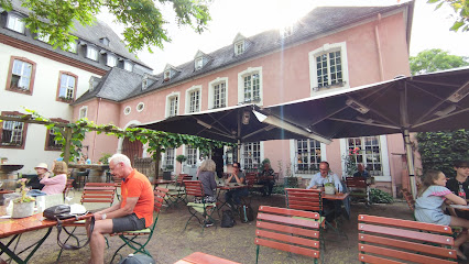
Explore Palais Kesselstatt in Trier, a historic wine cellar offering exquisite regional wines and a glimpse into the area's rich winemaking heritage.
Domfreihof
2.4 km
Explore the historic Domfreihof in Trier, a stunning landmark that embodies the city's rich heritage and architectural beauty, perfect for history enthusiasts.
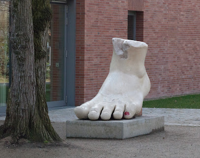
Fuß des Konstantin
2.4 km
Explore the iconic Fuß des Konstantin in Trier, a magnificent remnant of Roman architecture and a UNESCO World Heritage Site.
City Museum Simeonstift Trier
2.4 km
Discover the history of Trier at the City Museum Simeonstift, showcasing artifacts from ancient Rome to the modern era in a stunning setting.
St. Gangolf Kirche
2.5 km
Discover the architectural beauty and historical significance of St. Gangolf Kirche, a must-see Catholic church in the heart of Trier, Germany.
Zur Steipe
2.5 km
Experience authentic German cuisine at Zur Steipe, a charming restaurant and cafe in the heart of Trier, perfect for your culinary adventure.
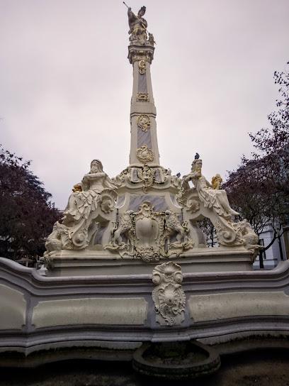
Handwerkerbrunnen
2.6 km
Explore the Handwerkerbrunnen in Trier, a magnificent fountain celebrating local craftsmanship and a perfect stop for tourists seeking culture and history.
Kornmarkt
2.7 km
Explore Kornmarkt in Trier: A historic square brimming with culture, stunning architecture, and delightful culinary treats.
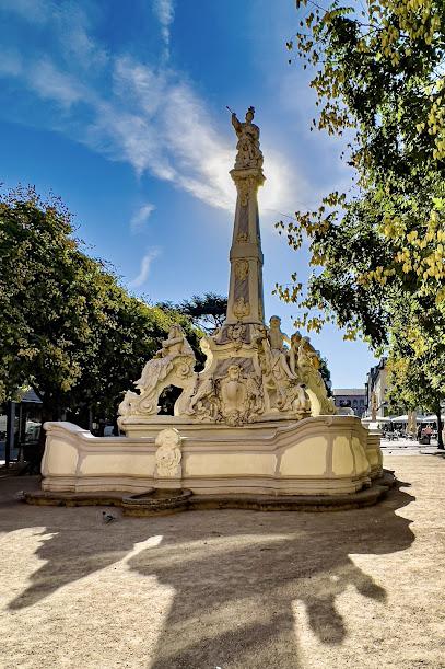
Sankt Georgsbrunnen
2.7 km
Explore the Sankt Georgsbrunnen in Trier, a stunning fountain that combines artistic beauty with historical significance, perfect for relaxation and photography.
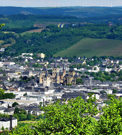
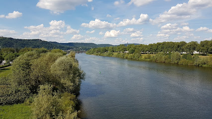
Trier
2.8 km
Explore Trier, Germany's oldest city, rich in Roman history, stunning architecture, and vibrant culture nestled in the scenic Moselle Valley.
Alter Kran
3.4 km
Explore the Alter Kran in Trier, a remarkable historical landmark showcasing the city's rich maritime heritage along the scenic Moselle River.
St. Matthias' Abbey
3.5 km
Discover the historical charm and spiritual serenity of St. Matthias' Abbey in Trier, a captivating monastery rich in culture and architectural beauty.
Unmissable attractions to see
Residenz am Amphitheater
1.9 km
Discover the vibrant cultural scene at Residenz am Amphitheater, Trier's premier performing arts theater, where creativity and history meet.

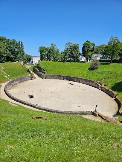
Trier Amphitheater
1.9 km
Explore the Trier Amphitheater, a magnificent Roman relic that brings the ancient world to life in the heart of Germany's oldest city.
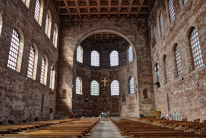
Basilica of St. Paulinus, Trier
2.1 km
Explore the architectural beauty and rich history of the Basilica of St. Paulinus, a Romanesque gem in the heart of Trier, Germany.
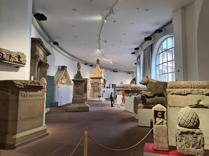
Rhineland State Museum Trier
2.2 km
Explore the rich archaeological heritage of the Rhineland State Museum Trier, where ancient history comes to life through stunning artifacts and exhibits.
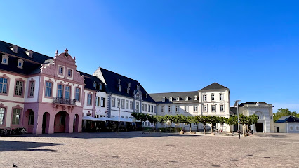
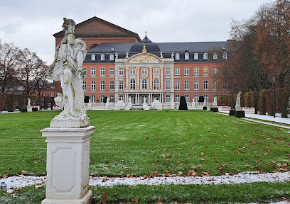
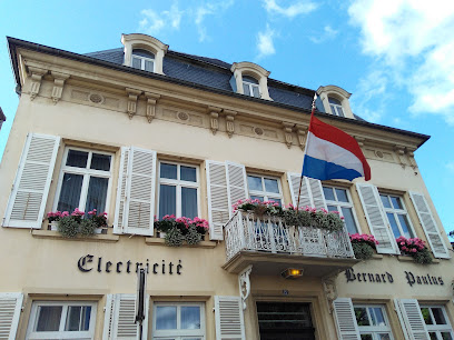
Electoral Palace
2.3 km
Explore the Electoral Palace—an awe-inspiring Rococo masterpiece and key historical site in Trier, Germany, showcasing opulence and rich cultural heritage.
Konstantin-Basilika (Evangelische Kirche zum Erlöser)- Evangelische Kirchengemeinde Trier
2.3 km
Explore the Konstantin Basilica in Trier, an architectural marvel of Roman history and a serene sanctuary of faith and culture.
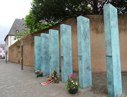
Mahnmal für deportierte Sinti und Roma
2.3 km
Explore the Mahnmal für deportierte Sinti und Roma in Trier, a powerful memorial honoring the resilience and culture of the Sinti and Roma communities.
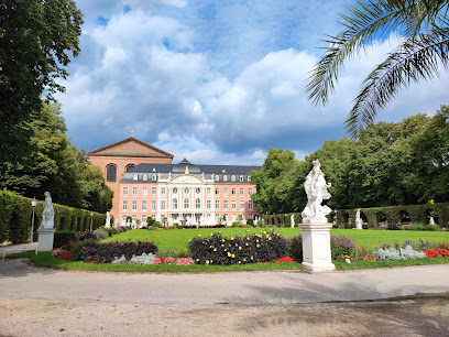
Kurfürstliches Palais und Palastgarten
2.3 km
Explore the historical elegance of Kurfürstliches Palais und Palastgarten, a stunning landmark in Trier, reflecting the grandeur of the Holy Roman Empire.
Porta-Nigra-Platz
2.4 km
Explore Porta-Nigra-Platz: A Historic Town Square in Trier, Germany, Where Ancient Architecture Meets Vibrant Local Culture.
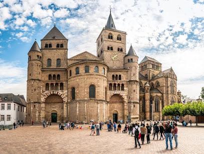
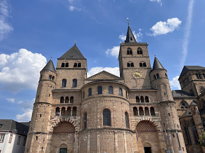
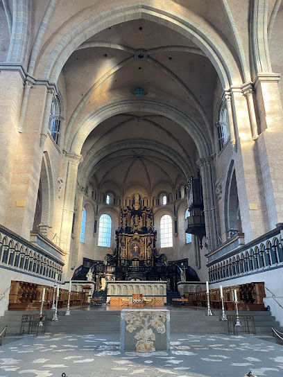
Trier Saint Peter's Cathedral
2.4 km
Discover the architectural splendor of Trier Saint Peter's Cathedral, a UNESCO World Heritage Site in the heart of Germany with rich history and stunning artistry.
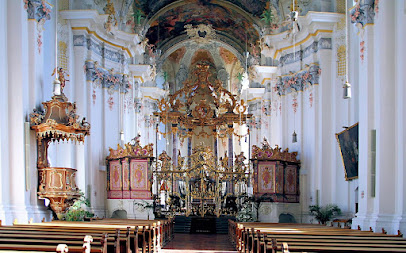
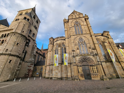
Church of Our Lady in Trier
2.4 km
Discover the stunning Gothic architecture and rich history at the Church of Our Lady in Trier, a must-visit site for every traveler.
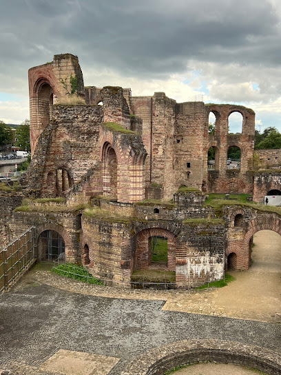
Kaiserthermen
2.4 km
Explore the Kaiserthermen, Trier's stunning Roman baths, and uncover the rich history of ancient engineering and culture.
St. Peter's Basilica
2.4 km
Discover the architectural beauty and rich history of St. Peter's Basilica in Trier, Germany. A must-visit spiritual landmark for all travelers.
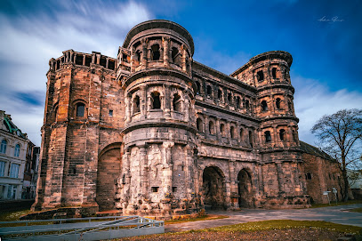
Porta Nigra
2.4 km
Explore the Porta Nigra, an ancient Roman gate in Trier, Germany, and immerse yourself in the rich history and stunning architecture of this UNESCO World Heritage Site.
Dreikönigenhaus
2.4 km
Explore the historical beauty of Dreikönigenhaus in Trier, where medieval architecture meets captivating stories of the past.
Essential places to dine
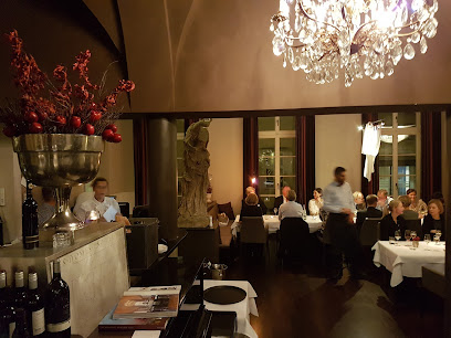
Schlemmereule - Trier
2.5 km
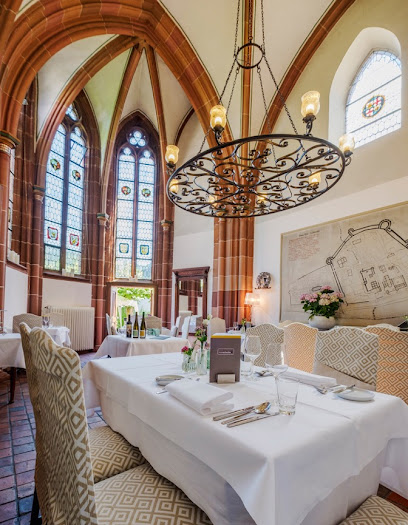
Experience exquisite French cuisine at Schlemmereule in Trier - where every dish tells a story.
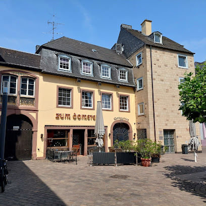
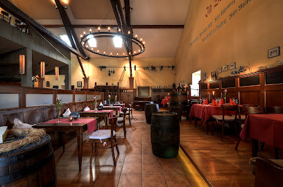
Weinstube Zum Domstein
2.5 km
Experience the fusion of German and French cuisine at Weinstube Zum Domstein, a culinary treasure in Trier's vibrant heart.
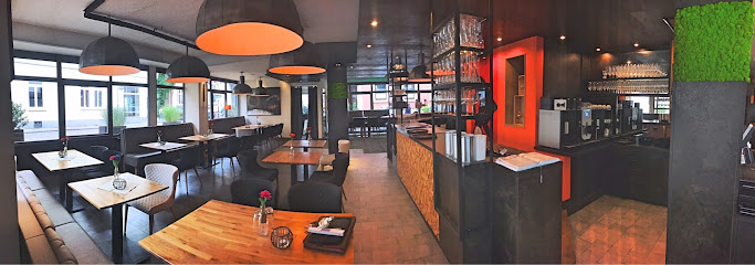
masons Restaurant Trier
2.9 km
Discover Masons Restaurant in Trier for an unforgettable dining experience blending local flavors with international cuisine.
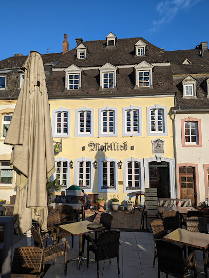
Gasthaus Mosellied
3.2 km
Experience authentic German cuisine with stunning views at Gasthaus Mosellied along the beautiful Mosel River.
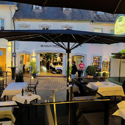
Bagatelle Trier
3.2 km
Experience fine dining at Bagatelle Trier – where exquisite flavors meet stunning riverside views in Germany's oldest city.
Boutiquehotel Kloster Pfalzel
3.5 km
Discover Boutiquehotel Kloster Pfalzel: A serene retreat blending history with modern luxury in charming Trier-Pfalzel.
Schloss Monaise
6.7 km
Discover exquisite dining at Schloss Monaise in Trier—where history meets culinary artistry for an unforgettable experience.
Zum Winzerkeller
7.9 km
Discover authentic German flavors and exquisite Moselle wines at Zum Winzerkeller in picturesque Fell.
Hôtel-Restaurant Gruber
16.3 km
Discover comfort and culinary delights at Hôtel-Restaurant Gruber in Rosport-Mompach, where luxury meets local flavor.
Weinhaus Kurtrierer Hof GbR
16.9 km
Experience exquisite dining and authentic Moselle wines at Weinhaus Kurtrierer Hof – your perfect getaway in Leiwen.
Moselhotel Ludwigs
17.2 km
Experience exceptional hospitality and authentic local cuisine at Moselhotel Ludwigs in the scenic Mosel Valley.
Altes Pfarrhaus
17.3 km
Experience rustic elegance at Altes Pfarrhaus, where fine dining meets cozy accommodations in the heart of Eifel's stunning landscapes.
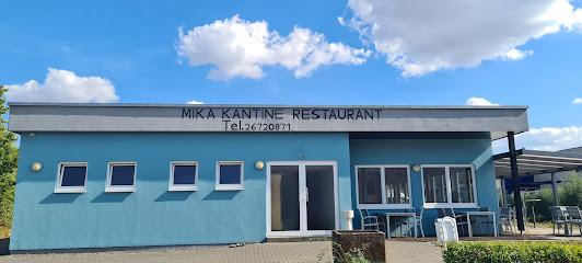
Mika Kantine
17.6 km
Discover diverse flavors at Mika Kantine in Echternach - an inviting buffet restaurant offering fresh and delicious culinary delights.
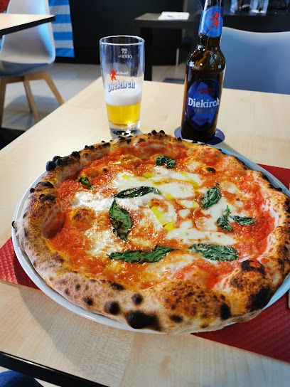
Pizzeria du Stade
17.9 km
Experience the heart of Italy in Grevenmacher at Pizzeria du Stade – where every bite tells a story.
Kulturhuef Bistro
18.0 km
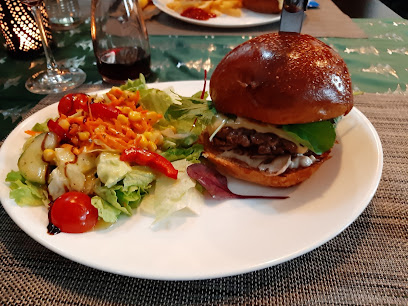
Discover Kulturhuef Bistro in Grevenmacher - where exceptional hamburgers meet vibrant culture in a cozy setting.
Markets, malls and hidden boutiques
نور شوب - Nour Shop
2.2 km
Discover unique gifts and local treasures at Nour Shop in Trier, where every item tells a story.
Trier Galerie
2.7 km
Experience the best of shopping and dining at Trier Galerie, where local charm meets international brands in the heart of Trier.
Leyendecker bastelstube GmbH & Co.KG
2.8 km
Unleash your creativity at Leyendecker Bastelstube in Trier, where art supplies, toys, and inspiration come together in a vibrant craft haven.
13gramm Sàrl
13.0 km
Explore 13gramm Sàrl for unique souvenirs and local crafts, capturing the essence of Luxembourg in every delightful find.
copal Mertert-Wasserbillig
14.4 km
Explore Copal Mertert-Wasserbillig, a vibrant shopping hub in Luxembourg offering diverse shops and local flavors in a charming atmosphere.

Allthestuffwelove
18.0 km
Explore Allthestuffwelove: Your gateway to unique Luxembourgish treasures and artisanal finds, perfect for capturing memories of your visit.
Le Mètre Carré Sàrl
18.2 km
Explore Le Mètre Carré in Grevenmacher for exquisite curtains and fabrics that elevate your home décor with style and elegance.
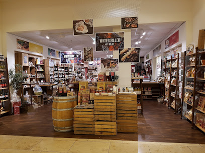
Domaines Vinsmoselle - Caves des Vignerons Grevenmacher
18.2 km
Experience the rich flavors of Luxembourg at Domaines Vinsmoselle, a premier winery in Grevenmacher, offering exceptional wines and picturesque views.
Atelier Waldbillig Sylvie Sàrl
18.3 km
Discover personalized fashion at Atelier Waldbillig Sylvie Sàrl in Grevenmacher, where craftsmanship meets individual style in the heart of Luxembourg.
Space- group
18.4 km
Explore Space-Group in Grevenmacher: Your ultimate internet shop for gadgets, accessories, and tech solutions to enhance your travel experience.
mute-labs Showroom Luxemburg
18.4 km
Explore innovative office furniture at Mute-Labs Showroom in Grevenmacher, Luxembourg – a hub for modern design enthusiasts.
Fuchs Glashandel - Showroom
18.5 km
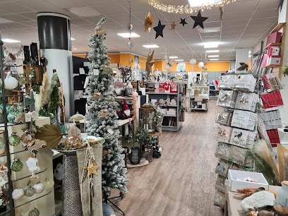
Explore Fuchs Glashandel in Grevenmacher for exquisite glass artworks, vibrant beads, and a unique glimpse into glass artistry.
100% Luxembourg
18.5 km
Immerse yourself in the culinary treasures of Luxembourg at 100% Luxembourg, where local flavors and artisanal craftsmanship come together.
Eicatcher
18.5 km
Discover Eicatcher in Grevenmacher: your destination for unique gifts, local crafts, and unforgettable souvenirs from Luxembourg.

Cityman Grevenmacher
18.6 km
Explore Cityman Grevenmacher for a stylish selection of men's clothing that combines quality, comfort, and contemporary fashion in the heart of Luxembourg.
Essential bars & hidden hideouts
Weingut-Weinstube-Restaurant von Nell
1.9 km
Discover the flavors of Trier at Weingut-Weinstube-Restaurant von Nell, where exceptional wines and regional cuisine come together in a cozy setting.
Weinstube Kesselstatt
2.4 km
Discover the essence of German wine culture at Weinstube Kesselstatt in Trier, where exquisite wines and authentic cuisine await.
Walderdorffs
2.4 km
Discover the culinary charm of Walderdorffs in Trier, where exquisite European cuisine meets vibrant nightlife and unforgettable experiences.
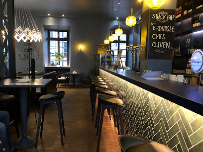
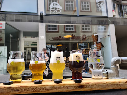
Craftprotz Kreativbierbar
2.5 km
Discover the lively Craftprotz Kreativbierbar in Trier, where craft beer enthusiasts gather to enjoy a unique selection in a vibrant atmosphere.
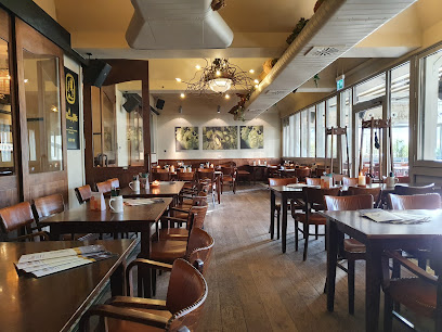
Bitburger Wirtshaus
2.6 km
Experience authentic German cuisine and local Bitburger beer at the charming Bitburger Wirtshaus in the historical city of Trier.
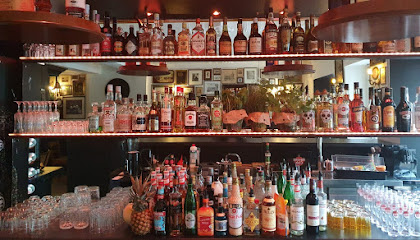
Old Fashioned - Trier
2.7 km
Experience the vibrant atmosphere and signature cocktails at Old Fashioned, Trier's favorite bar and social hub.
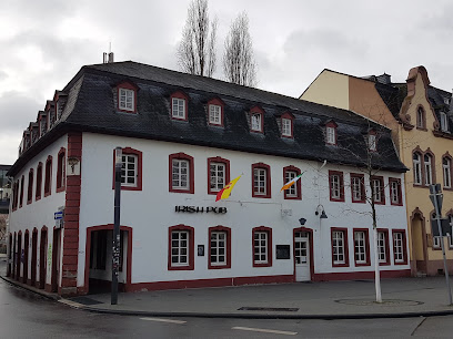
The Irish Pub Trier
2.7 km
Discover the charm of Ireland in Trier at The Irish Pub, where hearty food and lively atmosphere await every visitor.
Restaurant Sauerpark Beach
13.8 km
Experience the perfect blend of nature and cuisine at Restaurant Sauerpark Beach, your go-to spot for delightful meals in Rosport-Mompach.
Yellowsheep Cocktails
18.4 km
Experience the vibrant cocktail culture at Yellowsheep Cocktails in Grevenmacher, where creative drinks and a lively atmosphere await.
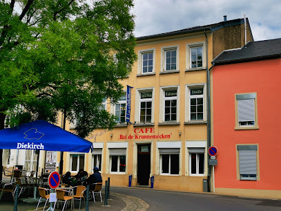
Bei den Krunnemécken
18.6 km
Discover the unique charm of Bei den Krunnemécken in Grevenmacher, where delightful local brews and hearty meals await you in a welcoming atmosphere.
DRINK.DE
18.6 km
Experience local culture and vibrant nightlife at DRINK.DE, a charming bar in Grevenmacher with a delightful selection of beverages.
New Rive Gauche Café
18.8 km
Discover the charm of New Rive Gauche Café in Grevenmacher, where delightful drinks and cozy ambiance create the perfect escape for tourists.
Café De La Culture
19.5 km
Experience the charm of Echternach at Café De La Culture, a cozy pub serving local brews and delicious bites in a welcoming atmosphere.
Cafe Um Moart
19.6 km
Discover the cozy charm of Cafe Um Moart in Echternach, a perfect pub for unwinding with delicious drinks and light fare.
Diekricher Stuff
19.7 km
Discover the heart of Echternach at Diekricher Stuff, a charming brewery offering local brews, delicious food, and a family-friendly atmosphere.