Discover the Intricacies of Guatemala at the Relief Map Museum
Explore the stunning topographical wonder at the Mapa en Relieve de Guatemala, where art meets geography in the heart of Guatemala City.
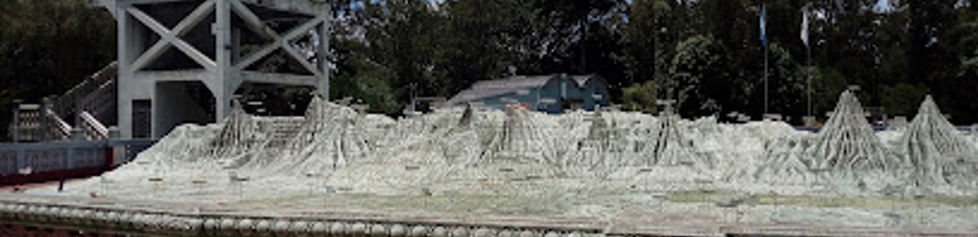
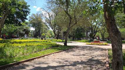
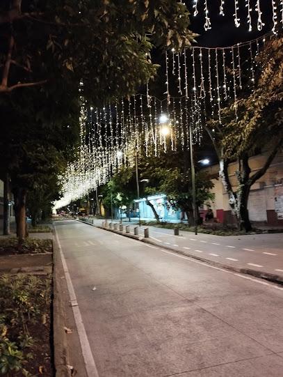
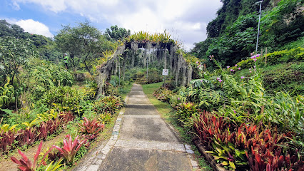
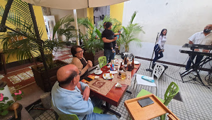
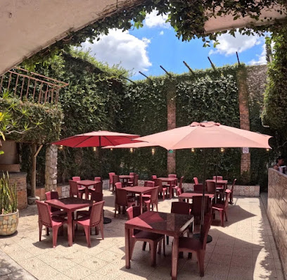
The Mapa en Relieve de Guatemala is an extraordinary open-air museum that showcases a stunning topographical model of Guatemala, offering tourists an immersive experience of the country’s diverse landscapes and cultural richness. This unique attraction allows visitors to appreciate Guatemala's geographical features in an unprecedented way, making it a must-visit spot for anyone looking to understand the country's natural beauty and historical significance.
A brief summary to Mapa en Relieve de Guatemala
- MF6R+8GG Ciudad de, Av. Simeón Cañas, Guatemala City, Zone 2, 01002, GT
- +50233779999
Local tips
- Visit early in the morning to avoid crowds and enjoy a quieter experience.
- Don’t forget your camera; the views of the map and surrounding gardens are perfect for photos.
- Bring water and snacks, as there are limited facilities nearby.
- Consider visiting on a weekday for a more relaxed atmosphere.
Getting There
-
Public Bus
If you are near the city center (Zona 1), head to the nearest bus stop and take any bus heading towards Zona 2. Look for buses labeled with 'Simeón Cañas' or 'El Obelisco'. The fare is usually around Q2.50. Inform the driver you are going to 'Mapa en Relieve', and they will let you know when to get off. Once you get off, walk a short distance to Av. Simeón Cañas, and you will see the entrance on your left.
-
Taxi or Rideshare
If you prefer a more direct route, you can use a taxi or rideshare service like Uber. Open the app and set your destination to 'Mapa en Relieve de Guatemala, Av. Simeón Cañas, Ciudad de Guatemala'. The drive should take around 15-20 minutes depending on traffic. Ensure that the driver knows the exact location, as it is located in Zone 2.
-
Walking from Central Park
If you are in Central Park (Parque Central) in Zona 1, you can walk to Mapa en Relieve. Exit the park and head east on 6a Avenida. Continue walking until you reach Avenida La Reforma. Turn left and walk north until you reach the intersection with Av. Simeón Cañas. Turn right and walk a short distance until you reach the entrance on your left. The walk will take approximately 30-40 minutes.
Discover more about Mapa en Relieve de Guatemala
Iconic landmarks you can’t miss
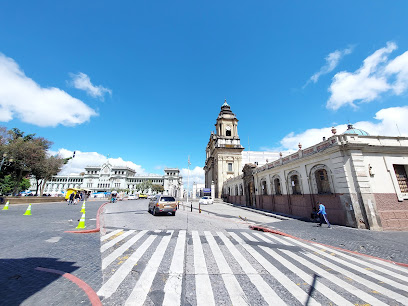
Ciudad Guatemala zona 1
1.0 km
Discover the vibrant history and culture of Ciudad Guatemala Zona 1, where colonial architecture meets lively local markets and street art.

Casa de la Memoria
1.5 km
Explore the rich history of Guatemala at Casa de la Memoria, a vital local history museum showcasing the nation's enduring spirit and cultural heritage.
Parroquia Nuestra Señora de La Merced
2.0 km
Explore the stunning Baroque architecture and rich cultural heritage of Parroquia Nuestra Señora de La Merced in the heart of Guatemala City.
Edificio Tikal
2.1 km
Discover the blend of corporate life and vibrant culture at Edificio Tikal in the heart of Guatemala City, where modernity meets history.
Plaza de las Niñas de Guatemala
2.1 km
Explore Plaza de las Niñas in Guatemala City, a touching space of remembrance celebrating the lives of young girls and reflecting the city's cultural spirit.
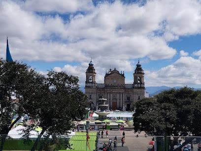
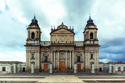
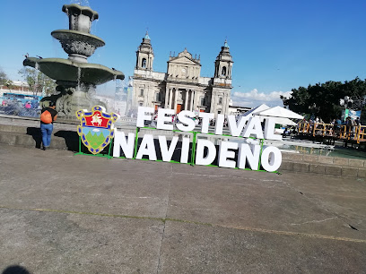
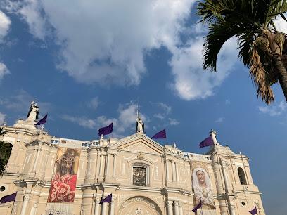
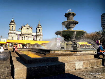
Catedral Metropolitana de Santiago de Guatemala
2.1 km
Discover the architectural grandeur and rich history of the Catedral Metropolitana de Santiago, a must-visit landmark in Guatemala City.
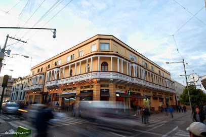
Hotel Pan American
2.3 km
Discover the perfect blend of comfort, culture, and convenience at Hotel Pan American in Guatemala City, your ideal travel retreat.
Paseo De La Sexta
2.3 km
Discover the culinary delights and vibrant street culture at Paseo De La Sexta in Guatemala City, a must-visit destination for every traveler.
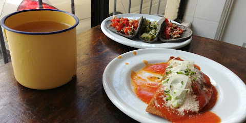
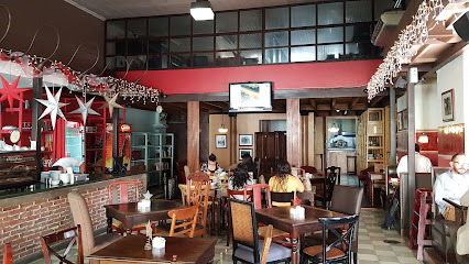
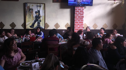
Restaurante El Adobe zona 1
2.3 km
Experience the rich flavors of Guatemala at Restaurante El Adobe, where traditional cuisine meets a vibrant dining atmosphere in Zone 1.
Musac
2.4 km
Explore the vibrant world of contemporary art at Musac, Guatemala City's premier museum showcasing local and international talent.
Santo Domingo Church Office
2.5 km
Discover the serene beauty and rich heritage of Santo Domingo Church in Guatemala City, a must-visit destination for spiritual seekers and culture enthusiasts alike.
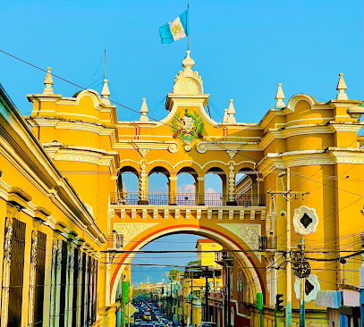
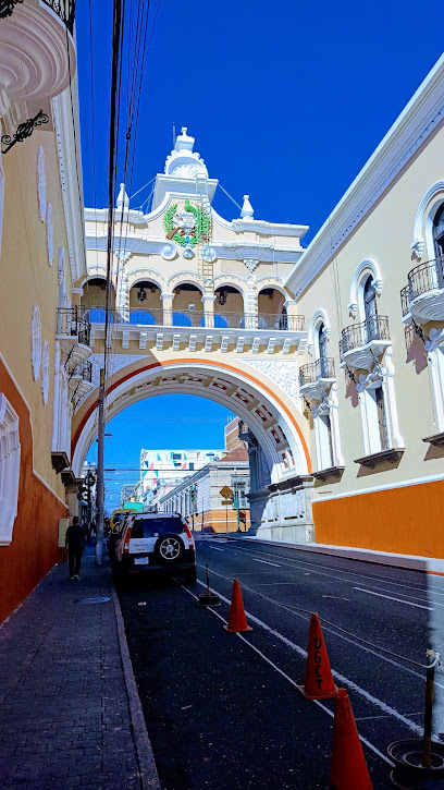
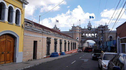
Arco de Correos
2.6 km
Discover the architectural beauty and historical significance of Arco de Correos, a must-see landmark in Guatemala City.
Post and Telegraph Museum
2.6 km
Explore the fascinating history of communication at the Post and Telegraph Museum in Guatemala City, showcasing vintage artifacts and educational exhibits.
Post office building.
2.6 km
Explore the historical Post Office of Guatemala City, a beautiful landmark showcasing the city's architectural charm and rich history.
Comercial y Acuario ABC, S.A.
2.7 km
Explore the vibrant aquatic world at Acuario ABC in Guatemala City, featuring exotic marine life, birds, and fresh seafood offerings.

Unmissable attractions to see
Hipódromo del Norte
0.1 km
Discover a blend of history, recreation, and green spaces at Guatemala City's vibrant Hipódromo del Norte.
Parque Minerva
0.2 km
Escape to Parque Minerva, a serene urban oasis in Guatemala City, offering relaxation, cultural experiences, and a touch of history.
Parque Ecológico de Ciudad Nueva
0.6 km
Discover nature within the city at Parque Ecológico de Ciudad Nueva, offering trails, recreation, and environmental education in Guatemala City.
Cerrito Del Carmen
1.5 km
Discover Guatemala City's oldest church & enjoy panoramic views from this historic hilltop park in the heart of Zone 1.
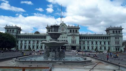
Palacio Nacional de la Cultura
2.0 km
Discover the rich history and culture of Guatemala at the stunning Palacio Nacional de la Cultura, a must-visit museum in Guatemala City.
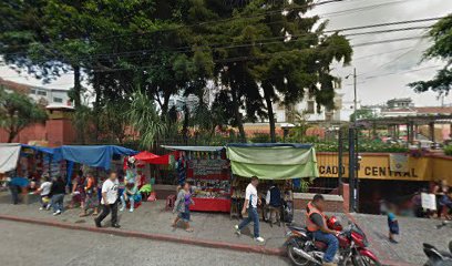
Mercado Central
2.1 km
Discover Guatemalan culture at Mercado Central, a vibrant underground market in Guatemala City with handicrafts, food, and local goods.
Plaza de la Constitución
2.1 km
Experience the vibrant heart of Guatemala City at Plaza de la Constitución, a historic hub for culture, relaxation, and local flavors.
Guatemala City Central Park
2.1 km
Discover Guatemala City's vibrant heart: a historic park surrounded by cultural landmarks, offering relaxation, events, and local flavors.
National History Museum
2.3 km
Explore Guatemala's vibrant past through captivating exhibits at the National History Museum in Guatemala City.
6A Av (Paseo de la Sexta)
2.8 km
Experience the vibrant heart of Guatemala City on Paseo de la Sexta, a historic avenue filled with culture, commerce, and captivating architecture.
buen lugar a visitar
2.9 km
Explore the vibrant amusement center in Guatemala City, where excitement meets local culture, perfect for families and thrill-seekers alike.
Parque Ecológico La Asunción
3.0 km
Discover a revitalized urban oasis in Guatemala City, offering nature trails, recreation, and environmental education for all ages.
Railway Museum
3.3 km
Step back in time at Guatemala City's Railway Museum. Explore historic locomotives and learn about the nation's железные дороги heritage.
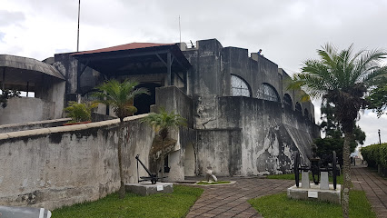
Military Museum and Ex Fort Saint John
3.7 km
Explore Guatemala's military history at the Military Museum and Ex Fort Saint John in Guatemala City. Open Monday to Saturday.
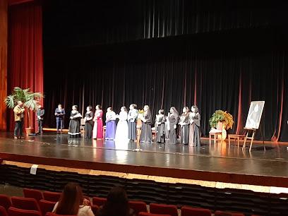
Centro Cultural Miguel Ángel Asturias
3.8 km
Discover Guatemala City's iconic cultural center, a masterpiece of architecture and a vibrant hub for the performing arts.
Essential places to dine
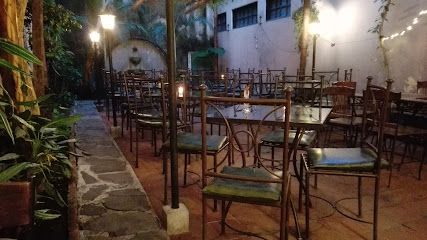
Café Esquina Jazz
1.4 km
Experience vibrant flavors and live jazz at Café Esquina Jazz in Guatemala City – where culinary delights meet musical enchantment.
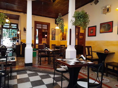
Arrin Cuan
1.7 km
Discover the rich flavors of Guatemala at Arrin Cuan – a delightful restaurant in Zone 1 offering local cuisine with a modern twist.
Gusina Garífuna
1.8 km
Discover the vibrant flavors of traditional Garifuna cuisine at Gusina Garífuna in Guatemala City—an unforgettable culinary journey.
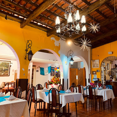
Restaurante Calle Real Gt
1.8 km
Experience authentic Guatemalan cuisine at Restaurante Calle Real Gt in Guatemala City, where tradition meets flavor in every dish.
Restaurante Centro Historico
1.9 km
Experience authentic Guatemalan cuisine at Restaurante Centro Historico in the vibrant heart of Guatemala City, where tradition meets flavor.
Comedor Tikal
2.1 km
Experience authentic Guatemalan cuisine at Comedor Tikal in Guatemala City—where every dish tells a story.
Doña Mela
2.1 km
Experience authentic Guatemalan flavors at Doña Mela in Guatemala City—where tradition meets taste in every delicious dish.
Aída Restaurant
2.1 km
Discover the rich flavors of Guatemala at Aída Restaurant - where tradition meets contemporary cuisine in an inviting setting.
Comedor Corazón de Jesús
2.1 km
Discover authentic Guatemalan flavors at Comedor Corazón de Jesús, where every dish tells a story of rich culinary heritage.
El Portal Bar and Restaurant
2.2 km
Experience the fusion of local flavors at El Portal Bar and Restaurant in Guatemala City – where culinary tradition meets modern taste.
Roque Rosito Café Gourmet
2.3 km
Discover the culinary treasures of Guatemala at Roque Rosito Café Gourmet – where local flavors meet gourmet excellence.
Jack´s Place Zona 1
2.3 km
Discover the flavors of Guatemala at Jack's Place Zona 1—where local cuisine meets an inviting atmosphere in the heart of Guatemala City.
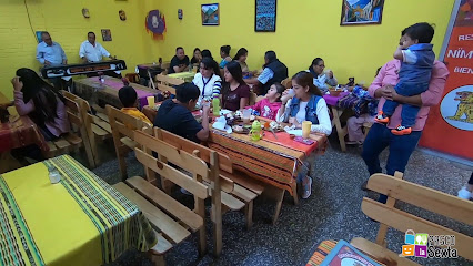
Restaurante Nïm B'alam
2.3 km
Experience authentic Guatemalan cuisine at Restaurante Nïm B'alam - where tradition meets modern dining in the heart of Guatemala City.
La Cocina de la Señora Pu
2.5 km
Experience authentic Guatemalan cuisine at La Cocina de la Señora Pu - where every dish tells a story.
Los Tres Tiempos • Centro Histórico
2.5 km
Discover the rich flavors of Guatemalan cuisine at Los Tres Tiempos in Centro Histórico—where tradition meets modern culinary artistry.
Markets, malls and hidden boutiques
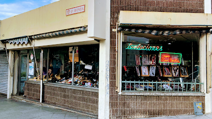
Tentaciones Boutique, Guatemala
1.8 km
Explore Tentaciones Boutique in Guatemala City for unique local crafts and fashion that capture the heart of Guatemalan culture.
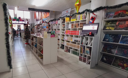
Meow Meow Shop
1.9 km
Discover the enchanting Meow Meow Shop, a charming book store in Guatemala City offering a diverse selection of literature and a cozy reading atmosphere.
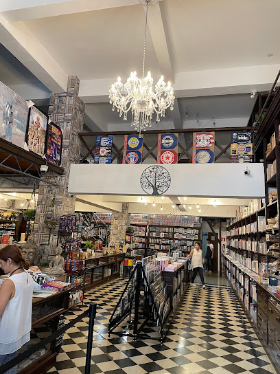
De Museo Centro Histórico
2.2 km
Explore De Museo Centro Histórico in Guatemala City for unique local gifts and souvenirs that capture the essence of Guatemalan culture.
Piñateria El Sueño de un Niño
2.5 km
Explore the vibrant culture of Guatemala at Piñateria El Sueño de un Niño, your go-to gift shop for unique crafts and souvenirs.
Distefano
2.6 km
Explore Distefano, Guatemala City's premier men's clothing store, offering stylish attire and personalized service for every occasion.
Almacén El Centro Guatemala
2.6 km
Explore the vibrant styles of Almacén El Centro, a clothing store in Guatemala City showcasing local fashion and cultural treasures.

Importadora Tú Eliges
2.7 km
Explore unique fashion and local styles at Importadora Tú Eliges, a vibrant clothing and lingerie warehouse in the heart of Guatemala City.
Detalles & Variedades
2.8 km
Explore Detalles & Variedades for unique gifts and local crafts, capturing the essence of Guatemala's rich culture and artistry.

Store Santo Domingo (Where Polo)
2.8 km
Immerse yourself in local culture at Store Santo Domingo, a vibrant grocery store in Guatemala City offering fresh produce and traditional snacks.
Otra Vez Guatemala
2.8 km
Explore the vibrant fashion scene of Guatemala City at Otra Vez Guatemala, where local craftsmanship meets modern style.
Shopping Love Gt
2.8 km
Explore Shopping Love Gt in Guatemala City for stylish clothing that blends local craftsmanship with contemporary trends, perfect for every occasion.

Ephemeral Shop
2.8 km
Explore the Ephemeral Shop for stylish sportswear that embodies the active culture of Guatemala City, perfect for every visitor.
Madame Boutique
2.8 km
Explore the vibrant fashion scene at Madame Boutique, a stylish women's clothing store in the heart of Guatemala City, showcasing local and international designs.
Season Style GT
2.8 km
Explore the elegance of boutique fashion at Season Style GT in the heart of Guatemala City, where local craftsmanship meets modern style.
GE boutique
2.8 km
Explore GE Boutique in Guatemala City for a unique blend of contemporary fashion and local craftsmanship, perfect for stylish souvenirs.
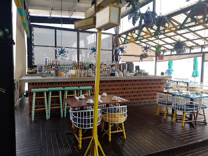
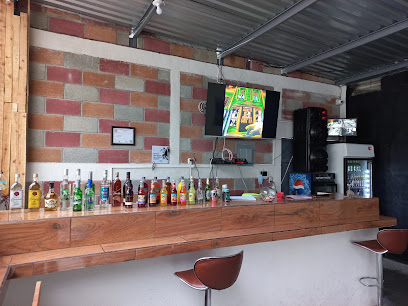
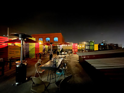
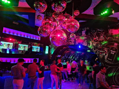
Essential bars & hidden hideouts
Rumbeando por Aqui
1.0 km
Discover the lively heart of Guatemala City at Rumbeando por Aqui, a bar where local culture and vibrant nightlife come together.
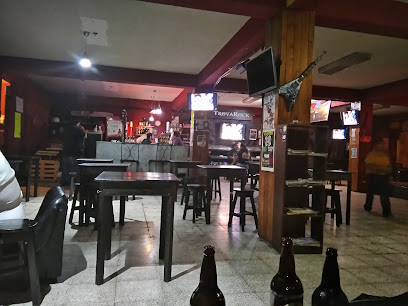
TrovaRock
1.7 km
Experience the vibrant culture of Guatemala City at TrovaRock, a bar and cultural center blending music, art, and community in an unforgettable atmosphere.
Mariachi Kings de Guatemala
1.8 km
Dive into the heart of Guatemala's cultural scene at Mariachi Kings, where vibrant music and delicious local cuisine come together for an unforgettable experience.
Proyecto poporopo
1.8 km
Discover the unique blend of flavors at Proyecto Poporopo, a must-visit tapas bar in Guatemala City offering a taste of local and international cuisine.
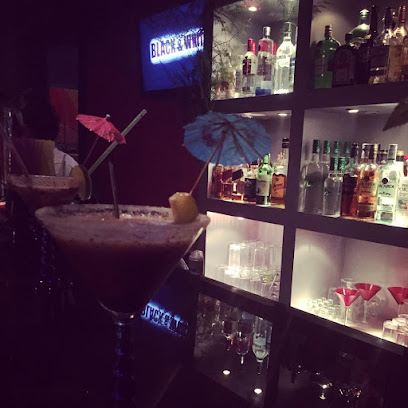
La Mezcalería
1.9 km
Discover the vibrant atmosphere and rich flavors of mezcal at La Mezcalería, a must-visit bar in the heart of Guatemala City.
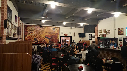
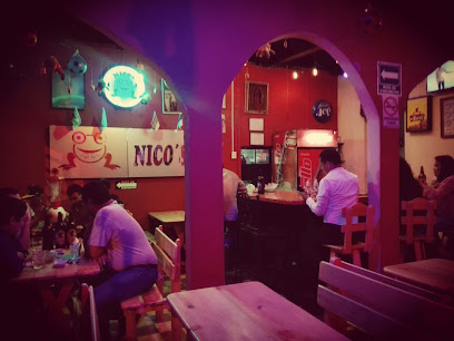
Nicos Bar
2.2 km
Discover Nicos Bar in Guatemala City: A cozy spot offering a wide range of drinks and a welcoming atmosphere for tourists and locals alike.
Las Cien Puertas
2.3 km
Experience the vibrant nightlife of Las Cien Puertas, a must-visit bar in Guatemala City offering diverse drinks and a lively atmosphere.
Kanela
2.3 km
Discover Kanela in Guatemala City: A unique bar blending local flavors with vibrant nightlife for an unforgettable experience.
Rockers Metal Bar
2.3 km
Discover the vibrant world of Rockers Metal Bar, where delicious grilled food meets the electrifying vibe of rock and metal music in Guatemala City.
Whisky Den Centro Historico
2.3 km
Discover Whisky Den Centro Historico, where fine spirits meet rich Guatemalan culture in the heart of the city.
Bar Y Restaurante El Bohemio
2.3 km
Savor the vibrant flavors of Guatemala at Bar Y Restaurante El Bohemio, where tradition meets a lively atmosphere.
Bar&restaurante Hades
2.5 km
Experience the vibrant nightlife at Bar&restaurante Hades, where cocktails meet local flavors in the heart of Guatemala City.

The Rustic Bar Guatemala
2.6 km
Discover the vibrant nightlife at The Rustic Bar in Guatemala City, a perfect blend of local charm and lively atmosphere.
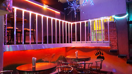
Black Club
2.6 km
Discover the vibrant nightlife of Guatemala City at Black Club, a lively gay bar and dance club that welcomes everyone to enjoy a night of music and fun.
D&M Resto-bar
2.6 km
Experience the vibrant nightlife at D&M Resto-bar in Guatemala City, where local flavors and great company come together in a historic setting.
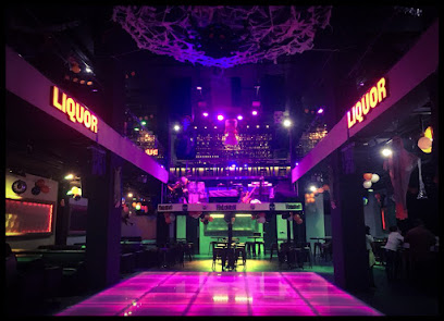
Nightclubs & after hour spots
The Buchanan's
2.3 km
Experience the vibrant nightlife of The Buchanan's, a premier disco club in Guatemala City with electrifying music and dance.
Dharma Ultra Lounge
2.3 km
Discover the electrifying nightlife of Guatemala City at Dharma Ultra Lounge, the ultimate disco club for music lovers and night owls.
Zona Cero
2.5 km
Discover the vibrant nightlife at Zona Cero, a premier night club in Mixco, where music, dancing, and excitement come alive.
La Guarida
2.6 km
Discover the vibrant nightlife at La Guarida, a premier night club in Guatemala City, where dance and music come alive in a chic atmosphere.
Lilianas
3.3 km
Discover the vibrant nightlife of Guatemala City at Lilianas, a premier night club featuring electrifying music, live performances, and a lively atmosphere.
NOA NOA
3.8 km
Dive into the vibrant nightlife of NOA NOA, a premier night club in Guatemala City offering music, dance, and a taste of local culture.
Bar Doble Via
4.2 km
Experience the vibrant nightlife of Guatemala City at Bar Doble Via, a welcoming disco club for everyone, especially the LGBTQ+ community.
La Isla
4.3 km
Experience the vibrant nightlife of Guatemala City at La Isla, where exquisite cocktails and a lively atmosphere await every visitor.
nuestro primer Baile
4.4 km
Nuestro Primer Baile in Guatemala City: A vibrant night club where music, dance, and culture collide for an unforgettable nightlife experience.
Baron Rojo VIP
4.5 km
Discover the heart of Guatemala City’s nightlife at Baron Rojo VIP, where entertainment meets vibrant culture in a premier adult club experience.
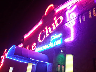
Le Club Internacional
4.5 km
Discover the electrifying nightlife of Guatemala City at Le Club Internacional, a top adult entertainment destination offering unforgettable performances.
Distrito 45
4.5 km
Discover the lively nightlife at Distrito 45, a premier disco club in Guatemala City, where music and dance pulse through the vibrant atmosphere.
G Bistro & Lounge Guatemala
4.9 km
Experience the vibrant atmosphere of G Bistro & Lounge in Guatemala City, where culinary delights meet inclusive nightlife.
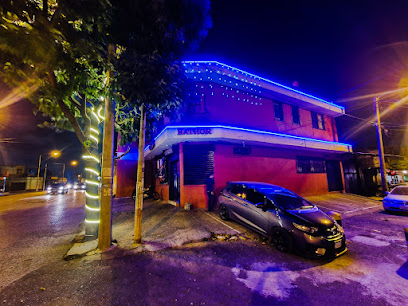
HATHOR CLUB INTERNACIONAL GT
5.1 km
Discover the electrifying nightlife at Hathor Club Internacional GT, where music and culture collide for an unforgettable experience in Guatemala City.
Valhalla club bar
5.6 km
Discover the electrifying nightlife at Valhalla Club Bar, where the beats drop and the dance floor awaits in Guatemala City.