Discover the Scenic Beauty of Alföldi Kéktúra Kezdő/Végpontja
Explore the Alföldi Kéktúra Kezdő/Végpontja for breathtaking hikes, stunning landscapes, and a journey through Hungary's natural beauty and cultural heritage.
Alföldi Kéktúra Kezdő/Végpontja in Sárospatak is a stunning starting and ending point for hiking enthusiasts, offering breathtaking views and rich cultural experiences. This location is a must-visit for nature lovers and adventurers alike.
A brief summary to Alföldi kéktúra kezdő/végpontja, pecsételőhely
- Sátoraljaújhely, HU
Local tips
- Wear comfortable hiking shoes, as the trails can vary in difficulty.
- Bring plenty of water and snacks to stay energized during your hike.
- Check the weather forecast before your visit to ensure a pleasant hiking experience.
- Consider visiting local eateries in Sárospatak to enjoy traditional Hungarian dishes post-hike.
Getting There
-
Car
If you are traveling by car, head towards Sátoraljaújhely, which is located in the Zemplen Mountains. Use GPS coordinates 48.3859846, 21.6578111 to navigate directly to Alföldi kéktúra kezdő/végpontja, pecsételőhely. Upon arrival, you will find parking available nearby. Please note that parking may have a fee, so be prepared with some cash or a card.
-
Public Transportation
To reach Alföldi kéktúra kezdő/végpontja, pecsételőhely using public transportation, take a bus from your current location in the Zemplen Mountains to Sátoraljaújhely. Check the local bus schedules for the most accurate times. Once you arrive at the Sátoraljaújhely bus station, it's a short walk to the destination, approximately 15-20 minutes. Follow the signs towards the city center, and you’ll reach the Alföldi kéktúra starting point located at the coordinates 48.3859846, 21.6578111.
-
Taxi
If you prefer a quicker option, consider taking a taxi from your current location in the Zemplen Mountains to Alföldi kéktúra kezdő/végpontja. Taxis are available in most towns and can be hailed on the street or booked via phone. Expect the fare to vary depending on the distance, so it's advisable to ask for an estimated cost before starting your journey.
Discover more about Alföldi kéktúra kezdő/végpontja, pecsételőhely
Iconic landmarks you can’t miss
Bortemplom
0.1 km
Discover the tranquil beauty and rich history of Bortemplom, a serene tourist attraction in Sárospatak, perfect for reflection and local cultural experiences.
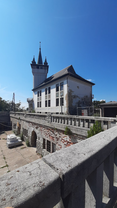
Magas-hegy
2.4 km
Discover the stunning heights of Magas-hegy, where breathtaking views and rich cultural heritage await every adventurer.
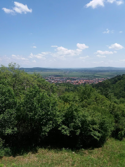
TOKAJ MACIK WINERY
8.0 km
Experience the exquisite flavors and breathtaking views at Tokaj Macik Winery, a must-visit destination in Slovakia's renowned wine region.
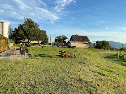
Bodrog Bridge
9.8 km
Discover the enchanting Bodrog Bridge in Sárospatak, Hungary, where scenic beauty meets rich history in a serene riverside setting.
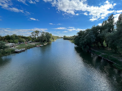
Hotel Bodrog Wellness & Elix Spa ****superior
10.0 km
Experience ultimate relaxation and wellness at Hotel Bodrog Wellness & Elix Spa in Sárospatak, a serene escape for rejuvenation and indulgence.

Staroslovanske Hradisko
13.1 km
Discover the ancient charm of Staroslovanske Hradisko, a historical landmark in Zemplín, Slovakia, where history and stunning landscapes converge.
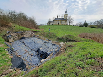
Lónyay-kastély
14.9 km
Experience the rich history and stunning architecture of Lónyay-kastély, a captivating castle in Bodrogolaszi, Hungary.
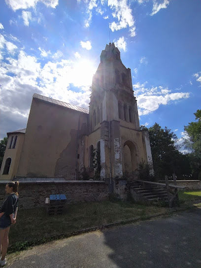
Château de Bodrogolaszi
14.9 km
Explore the historical charm of Château de Bodrogolaszi, a captivating castle in Hungary's serene countryside, perfect for history lovers and nature enthusiasts.
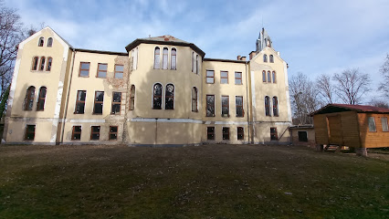
Bodrogolaszi
15.4 km
Discover the serene beauty and historical charm of Bodrogolaszi Train Station in Hungary's stunning countryside, perfect for leisurely exploration.
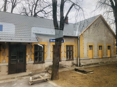
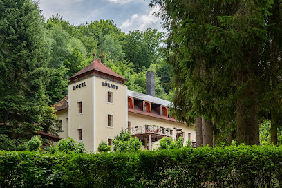
Kőkapu Vadászkastély és Hotel & Apartments
16.7 km
Discover the charm of Kőkapu Hunting Lodge and Hotel, where nature meets comfort in the heart of Hungary's serene countryside.
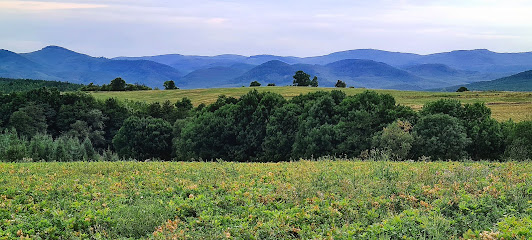
Zemplén Mountains
17.9 km
Explore the Zemplén Mountains - a stunning Hungarian mountain range offering breathtaking views, hiking trails, charming villages, and rich cultural experiences.
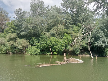
Bodrog
18.7 km
Experience the peaceful beauty of Bodrog River, perfect for kayaking, fishing, and enjoying nature's tranquility.
Zempléni Landscape Protection Area
19.9 km
Explore the stunning Zempléni Landscape Protection Area, a serene nature preserve in Hungary, perfect for outdoor adventures and wildlife encounters.
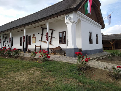
Bodrogközi Múzeumporta
22.4 km
Explore the Bodrogközi Múzeumporta in Cigánd, where local history and culture come alive through interactive exhibits and engaging experiences for all ages.
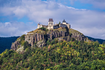
Füzér Castle
22.7 km
Discover Füzér Castle, a stunning medieval fortress in Hungary, offering breathtaking views and a journey through history amidst the Zemplén Mountains.
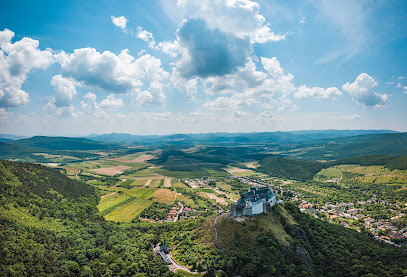
Unmissable attractions to see
Nemzeti Összetartozás Hídja (parkoló)
1.0 km
Discover the breathtaking Nemzeti Összetartozás Hídja, a symbol of unity in Hungary, offering stunning views and deep cultural significance.
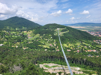
Petőfi Irodalmi Múzeum - Kazinczy Ferenc Múzeum
1.3 km
Explore Hungary's literary heritage at the Petőfi Irodalmi Múzeum, a treasure trove of artifacts and insights into the lives of renowned Hungarian authors.
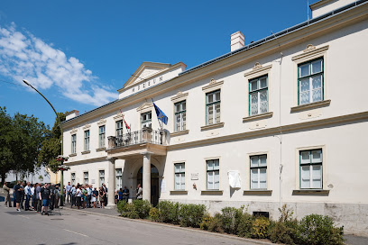
Stációk a Szár-hegyen
1.4 km
Discover the stunning natural beauty of Stációk a Szár-hegyen, a must-visit tourist attraction in Sárospatak, Hungary, perfect for nature lovers and adventure seekers.
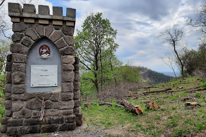
Zsolyomka Cellars
1.6 km
Experience the charm of Zsolyomka Cellars, a captivating tourist attraction in Sárospatak, where wine lovers unite to savor Hungary's finest offerings.
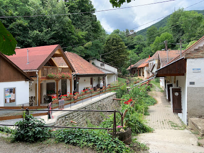
Ungvári pincék
2.6 km
Experience the essence of Hungarian wine culture at Ungvári Pincék, a charming winery in Sárospatak offering exquisite tastings and local delicacies.
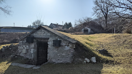
Magashegy Viewpoint
2.6 km
Experience the breathtaking beauty of Magashegy Viewpoint, a stunning scenic spot in Hungary offering panoramic views and serene natural surroundings.
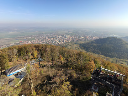
Libegő
3.3 km
Experience breathtaking views and serene landscapes aboard the Libegő aerial tramway in Sárospatak, a perfect destination for all travelers.
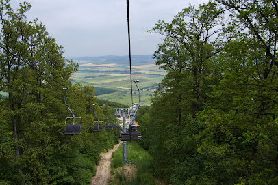
Zemplén Adventure Park
3.3 km
Experience the thrill of adventure amidst stunning landscapes at Zemplén Adventure Park, the ultimate family-friendly destination in Hungary.
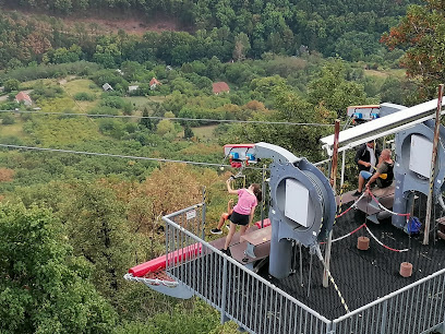
Long Forest Conservation Area
5.5 km
Explore the captivating beauty of Long Forest Conservation Area, a serene nature preserve offering trails, wildlife, and breathtaking landscapes in Hungary.
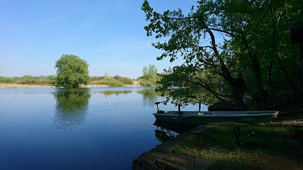
Museum of the Magyar Language
6.2 km
Explore the fascinating evolution of the Hungarian language at the Museum of the Magyar Language in Sárospatak, a unique cultural hub for language lovers.
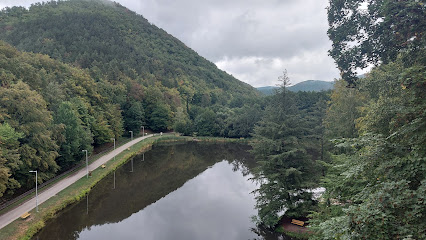
Observation Tower Tokaj
6.8 km
Experience breathtaking views and the enchanting beauty of the Tokaj region from the Observation Tower Tokaj, a must-visit destination in Slovakia.
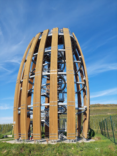
Tarn of Megyer-hegy
7.1 km
Discover the serene beauty of the Tarn of Megyer-hegy, a natural wonder in Sárospatak perfect for outdoor enthusiasts and nature lovers.
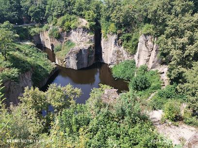
Levanduľove Kraľovstvo
7.2 km
Experience the enchanting beauty of Levanduľove Kráľovstvo, a lavender paradise in Streda nad Bodrogom, perfect for relaxation and exploration.

Suta-patak
8.5 km
Explore the natural beauty and cultural heritage of Suta-patak in Sárospatak, Hungary, where every corner reveals stunning landscapes and history.
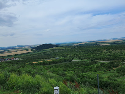
Nagyparti panoráma, Vágáshuta
8.6 km
Discover the breathtaking panoramic views at Nagyparti Panoráma in Vágáshuta, a serene escape into Hungary's stunning countryside.
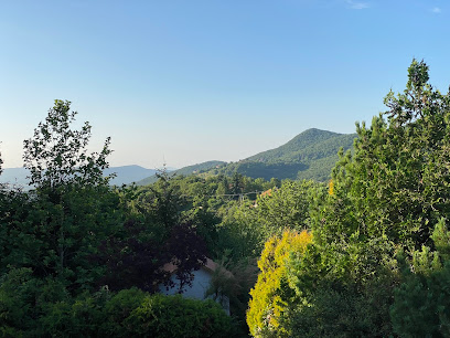
Essential places to dine
Halászcsárda
1.2 km
Discover the flavors of Hungary at Halászcsárda, where traditional dishes meet modern hospitality in Sátoraljaújhely.
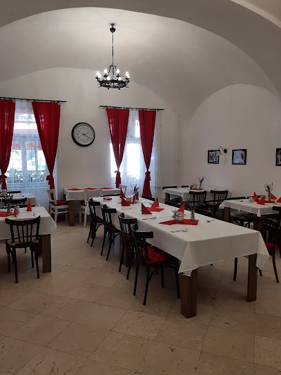
Spaten Söröző Étterem
1.2 km
Experience authentic Hungarian cuisine at Spaten Söröző Étterem with diverse beer options in a charming setting.
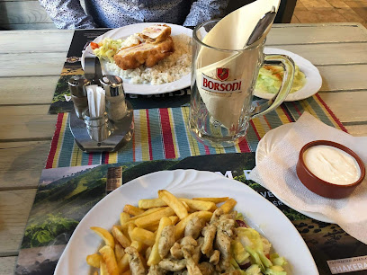
Csillagfény Panzió, Étterem és Presszó
1.7 km
Discover the perfect blend of comfort and culinary excellence at Csillagfény Panzió in Sátoraljaújhely.
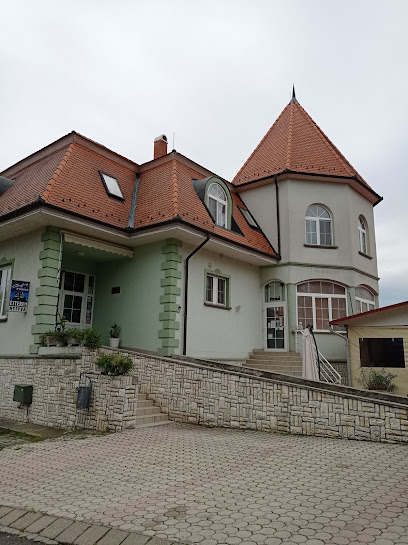
Ízek kertje
3.3 km
Discover authentic Hungarian cuisine at Ízek kertje in Sátoraljaújhely - where every dish tells a story.
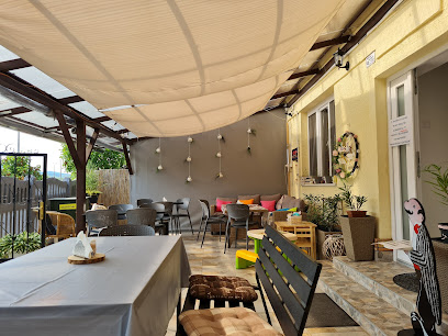
Étterem Smaragdvölgy
5.4 km
Discover authentic Hungarian cuisine at Étterem Smaragdvölgy in Sátoraljaújhely - where tradition meets taste.
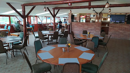
Zlatá Putňa - Restaurant & Pension
5.5 km
Discover authentic Slovakian and Hungarian cuisine at Zlatá Putňa - your perfect culinary retreat in Viničky.
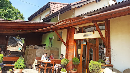
Széphalmi Kerék Csárda
5.9 km
Experience authentic Hungarian cuisine in a cozy atmosphere at Széphalmi Kerék Csárda in Sátoraljaújhely.
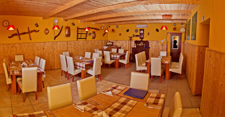
Múzeumkert Vendéglő és Szálloda
6.0 km
Experience authentic Hungarian cuisine at Múzeumkert Vendéglő és Szálloda in Sátoraljaújhely—where tradition meets flavor in every dish.
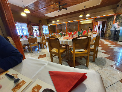
MAJER BARA-agroturistický areál
7.1 km
Discover authentic Slovakian cuisine at MAJER BARA - where every meal is crafted from locally sourced ingredients amidst stunning landscapes.
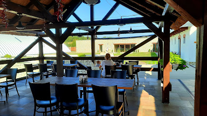
The Notorious
7.3 km
Experience authentic Slovak flavors at The Notorious - a culinary treasure in Streda nad Bodrogom.

Harsányi Dűlőbisztró és Pincészet
8.0 km
Experience authentic Hungarian cuisine and exquisite local wines at Harsányi Dűlőbisztró és Pincészet in Sárospatak.
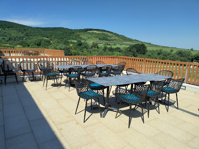
Kolonia
8.5 km
Experience authentic Slovak cuisine at Kolonia in Malá Tŕňa - where tradition meets taste in a cozy setting.
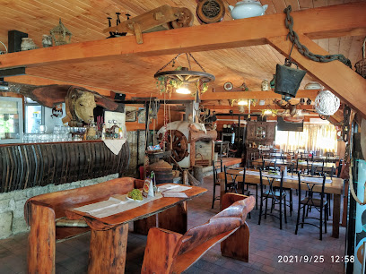
Jurta a hegyen
8.9 km
Discover authentic Hungarian cuisine at Jurta a hegyen, nestled in the scenic hills of Vágáshuta, offering local flavors and breathtaking views.
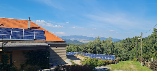
A Boros Borbár és Étterem
9.7 km
Experience the best of Hungarian cuisine and exquisite local wines at A Boros Borbár és Étterem in Sárospatak.
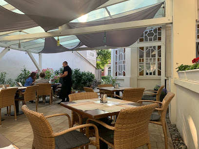
Lángos Sütöde
10.0 km
Discover Lángos Sütöde in Sárospatak – A Taste of Authentic Hungarian Langos Awaits You!
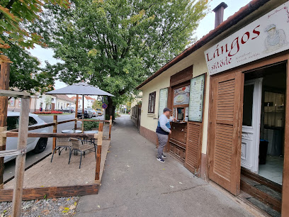
Markets, malls and hidden boutiques
Rongykutya Könyvesbolt és Kávézó
1.2 km
Explore Rongykutya Könyvesbolt és Kávézó, a charming bookstore and café in Sátoraljaújhely, where literature meets a cozy atmosphere.
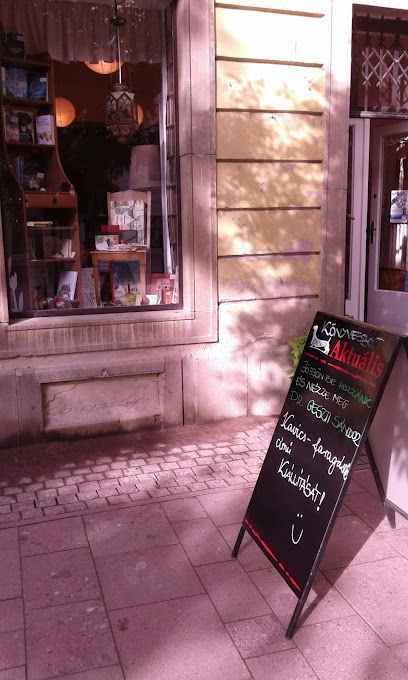
Zemplén Gourmet 1889 Kft. Mintabolt
1.4 km
Experience authentic Hungarian flavors at Zemplén Gourmet 1889 Kft. Mintabolt, where quality meats and local specialties await every visitor.
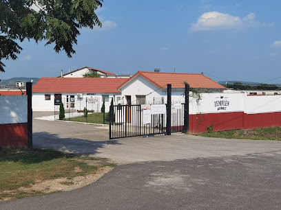
Lakáskultúra - Ajándék
1.4 km
Discover unique gifts, exquisite chinaware, and fine wines at Lakáskultúra - Ajándék in Sátoraljaújhely, your go-to destination for memorable souvenirs.

KreaAnya Kézműves Áruda
1.5 km
Explore KreaAnya Kézműves Áruda, where local artisans showcase their unique handcrafted gifts and souvenirs, perfect for any traveler.

Ecofamily
3.2 km
Discover unbeatable deals and local treasures at Ecofamily, the premier discount store in Sátoraljaújhely, Hungary.
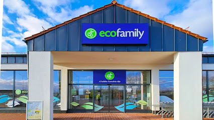
Small food store
3.4 km
Explore the authentic taste of Slovakia at Borša's charming small food store, where local flavors and warm hospitality await every visitor.
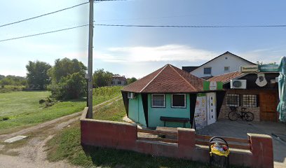
Fresh market
3.6 km
Explore the Fresh Market in Borša: a vibrant hub of local produce and culture perfect for every traveler seeking an authentic experience.
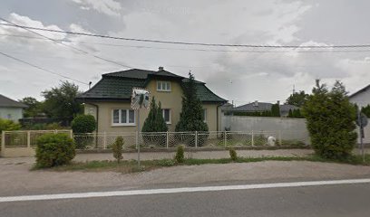
KÁJEL s.r.o.
6.4 km
Discover unique local crafts and delightful shopping experiences at KÁJEL s.r.o. in Viničky, the heart of Slovak retail culture.

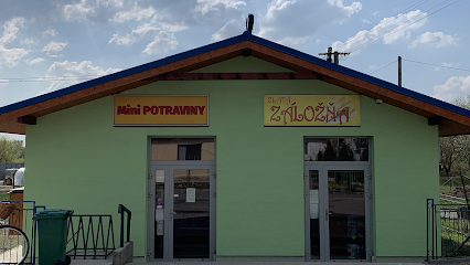
Mini Potraviny a Zlatá Záložňa
7.3 km
Explore local flavors and authentic Slovak culture at Mini Potraviny a Zlatá Záložňa in Streda nad Bodrogom, your gateway to regional delicacies.
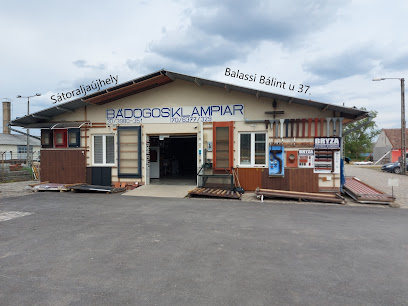
Lemezmix Kft.
7.3 km
Explore Lemezmix Kft. for unique local crafts and delightful souvenirs, perfect for capturing the essence of your travels.
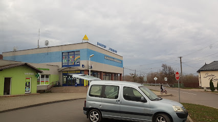
Tóth Csaba - Alfa
7.4 km
Explore Tóth Csaba - Alfa in Streda nad Bodrogom for a perfect blend of shopping, dining, and local culture in a vibrant atmosphere.
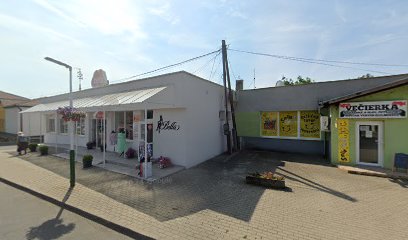
Bella dress & decor - Dámská móda
7.4 km
Explore Bella Dress & Decor in Streda nad Bodrogom for elegant women's clothing, tailored fabrics, and exceptional costume rental services.
Élelmiszerbolt
8.6 km
Experience local flavors and warm hospitality at Élelmiszerbolt in Sárospatak, your go-to grocery store for authentic Hungarian delicacies.

Pataki Kerámia Múzeum, Manufaktura és Mintabolt
9.2 km
Discover the rich tradition of Hungarian pottery at Pataki Kerámia Múzeum, where art and craftsmanship come to life in every piece.

Király Vin Kft.
9.3 km
Explore the rich viticulture of Hungary at Király Vin Kft., where local wines and spirits await to delight your palate.
Essential bars & hidden hideouts
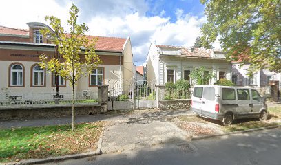
Ipar Büfé
0.8 km
Experience authentic Hungarian hospitality at Ipar Büfé, a cozy pub in Sátoraljaújhely offering delicious local cuisine and a great selection of drinks.
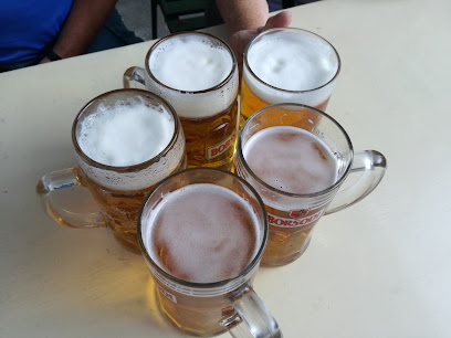
Game Bar Sátoraljaújhely
1.4 km
Experience the lively atmosphere at Game Bar Sátoraljaújhely, where drinks, games, and local nightlife come together for an unforgettable evening.

Beles Romkocsma
1.4 km
Experience the heart of Sátoraljaújhely at Beles Romkocsma, a cozy pub known for its excellent drinks and warm atmosphere.
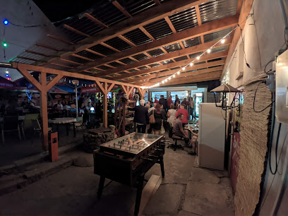
Tibicum Pince
2.5 km
Discover the charm of Tibicum Pince in Sátoraljaújhely, where local wines meet warm hospitality in a cozy bar setting.

Štefan Balla - POHOSTINSTVO
3.2 km
Discover Štefan Balla - POHOSTINSTVO, a cozy bar in Borša offering authentic Slovak drinks and a welcoming atmosphere.
Krčma
3.7 km
Discover Krčma in Borša, where traditional Slovak cuisine meets a warm pub atmosphere, perfect for a memorable dining experience.
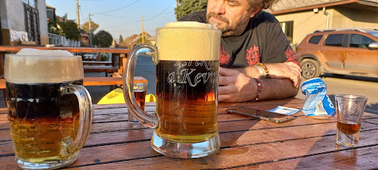
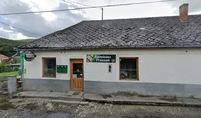
Gombász Presszó
4.6 km
Experience the vibrant atmosphere and local flavors at Gombász Presszó, a must-visit bar in Sátoraljaújhely, Hungary.
ANNA Pub
4.8 km
Discover the welcoming ambiance of ANNA Pub in Viničky, Slovakia, where locals and tourists unite over drinks and laughter.

Széphalmi Gyümölcstár Manufaktúra
4.9 km
Experience the authentic flavors of Hungary at Széphalmi Gyümölcstár Manufaktúra, a unique gastropub and craft store in Sátoraljaújhely.
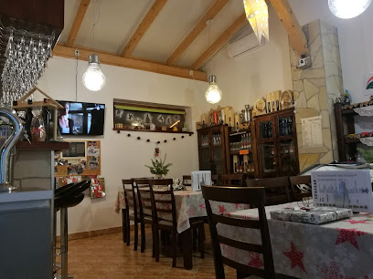
Kaviareň Bár pod vinohradmi
6.4 km
Discover the cozy charm and exquisite drinks at Kaviareň Bár pod vinohradmi, a must-visit bar in Viničky for every traveler.

Bistro - Kolkáreň
7.2 km
Discover the essence of Slovak hospitality at Bistro - Kolkáreň, where sports, food, and friendship converge in Streda nad Bodrogom.
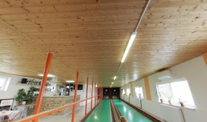
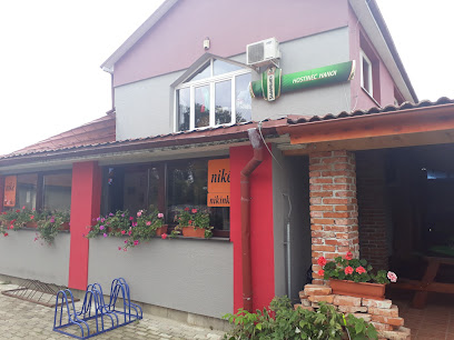
Hostinec Hanoi
7.3 km
Experience the vibrant atmosphere and local charm at Hostinec Hanoi, a must-visit bar in Streda nad Bodrogom, Slovakia.
Gazdovská pivnica rodina Begalová
8.0 km
Discover the enchanting Gazdovská pivnica in Malá Tŕňa, where local wines meet warm hospitality for an unforgettable experience.
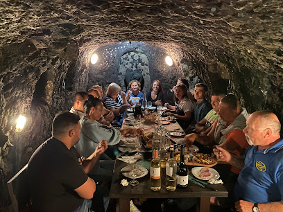
Ubytovanie v Tokaji - Gazdovská pivnica
8.2 km
Explore Ubytovanie v Tokaji - Gazdovská pivnica, where the essence of Slovak wine culture comes alive in a charming and inviting atmosphere.

Tokajské u gazdu Laca
9.0 km
Discover Tokajské u gazdu Laca, a charming wine bar in Veľká Tŕňa, offering exquisite local wines and traditional Slovak cuisine.
Nightclubs & after hour spots
Patkány és Petárda pince
1.3 km
Unwind and dance the night away at Patkány és Petárda Pince, the vibrant heart of Sátoraljaújhely's nightlife scene.
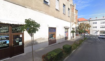
Kossuth Lajos Művelődési Központ
1.3 km
Discover the lively nightlife at Kossuth Lajos Művelődési Központ, the cultural heart of Sátoraljaújhely, where music and community come together.

Schirling Residenz
1.3 km
Discover the electrifying nightlife at Schirling Residenz in Sátoraljaújhely, where music, dance, and fun come together for an unforgettable experience.

Pálinka Főző
9.7 km
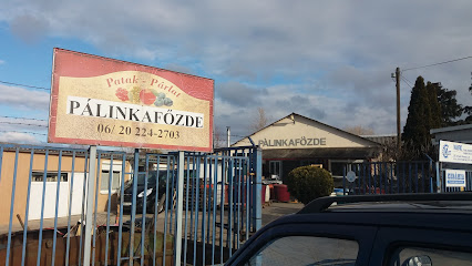
Discover the electrifying atmosphere of Pálinka Főző, Sárospatak's top night club for an unforgettable nightlife experience.
Highlander Prémium
9.8 km
Discover Sárospatak's premier nightlife destination at Highlander Prémium, where music, dancing, and fun come together in an unforgettable experience.

Júlia Centrál Discobár
29.2 km
Experience the vibrant nightlife at Júlia Centrál Discobár in Nagyhalász, where pulsating music and dancing await every Saturday night.

Antalóczy Borterasz
34.5 km
Discover the essence of Tokaj at Antalóczy Borterasz, a charming wine bar offering exquisite local wines and a cozy atmosphere.

Gerendás Söröző
35.6 km
Discover the lively nightlife of Mád at Gerendás Söröző, where local charm meets vibrant entertainment in a welcoming atmosphere.
Lótusz liget
36.0 km
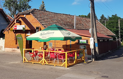
Lótusz Liget: Experience the electrifying nightlife of Kisvárda, where music and dance create unforgettable memories in a vibrant setting.

Bagolyvár
36.2 km
Discover the heart of Kisvárda's nightlife at Bagolyvár, where great music and friendly vibes create unforgettable nights.
Eile Dance Club
39.3 km
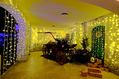
Discover the vibrant nightlife of Uzhhorod at Eile Dance Club, where music, dance, and unforgettable moments await.

Fabrik Live
44.5 km
Experience the vibrant nightlife at Fabrik Live, Michalovce's premier disco club, where music and fun come alive every night.

Flamingo
44.7 km
Dive into the vibrant nightlife at Flamingo Night Club, Michalovce's top destination for music, dancing, and unforgettable memories.

Tattoo studio Revolution
45.2 km
Discover the artistic allure of Tattoo Studio Revolution in Michalovce, where body art meets vibrant nightlife in an unforgettable experience.
RETRO
45.4 km
Dive into the vibrant nightlife of Michalovce at RETRO, where music, dancing, and unforgettable moments await.
