From Eve
Know before you go
Hi, I'm Eve. Here are a few practical things to know before exploring Garrison Rock Resource Management Unit.
Local know-how to help you travel smarter and make the most of every moment.

Explore the natural beauty and historical intrigue of Garrison Rock: hiking trails, scenic views, and a glimpse into Iowa's past.
Garrison Rock Resource Management Unit, located near Ottumwa, Iowa, offers a blend of natural beauty and historical significance. This 302-acre area features oak and hickory forests, prairie restorations, and scenic overlooks of the Des Moines River valley. Once a Native American gathering site and the location of a short-lived 1842 U.S. Army fort, it's now a popular destination for hiking, wildlife viewing, and exploring local history.
Opening times, essentials, and a few local tips gathered into one calmer, easier-to-scan planning section.
Hi, I'm Eve. Here are a few practical things to know before exploring Garrison Rock Resource Management Unit.
Local know-how to help you travel smarter and make the most of every moment.
Driving
From Ottumwa, head southeast on Cliffland Road for approximately 2 miles. The parking lot for Garrison Rock Resource Management Unit will be on your left. There are no fees for parking or entry.
Walking
If starting from nearby residences on Cliffland Road, follow Cliffland Road southeast. The entrance and parking lot will be approximately 2 miles from Ottumwa on Cliffland Road. Use caution as there may not be sidewalks for the entire route.
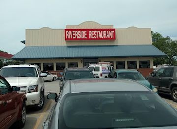
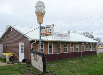
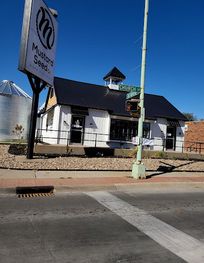
Use Garrison Rock Resource Management Unit as your starting point for nearby food, family ideas, nightlife, and more local discoveries.


Explore expert travel guides, compare and book tours, experiences, hotels, and more—all from the palm of your hand. Download now for seamless trip planning wherever your wanderlust takes you.
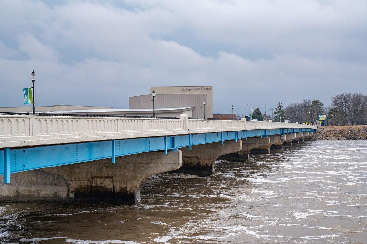
Discover Ottumwa: A Scenic River Valley Gem in Iowa with Rich History, Beautiful Parks, and a Vibrant Dining Scene.
Tell me more about Ottumwa