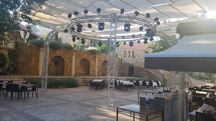
Discover the Serenity of Tallet Imm Saeed
Explore Tallet Imm Saeed: A serene nature preserve in Beit ed-Dine, Lebanon, perfect for hiking and reconnecting with nature.
Nestled in the lush landscapes of Beit ed-Dine, Tallet Imm Saeed is a nature preserve that offers visitors a serene escape into the heart of Lebanon's natural beauty. This hidden gem is perfect for nature lovers and hiking enthusiasts alike, providing stunning views and a peaceful atmosphere.
A brief summary to Tallet Imm Saeed
- PH3X+9MV, Maaser, Beit ed-Dine, LB
Local tips
- Wear comfortable hiking shoes for the uphill trek.
- Visit in the morning or late afternoon for the best light and cooler temperatures.
- Bring water and snacks to enjoy during your hike.
- Don't forget your camera for capturing the stunning views!
Getting There
-
Walking
From the center of Marjayoun, head towards the main road that runs through the town. This is the main street where you will find shops and cafes. Continue walking straight until you reach the intersection near the Marjayoun public park. At the intersection, turn onto the road that leads towards the Beit ed-Dine area. Follow this road for approximately 2 kilometers until you see signs for Maaser. As you approach the Maaser area, look for a cemetery on your right side. Just beyond the cemetery, there is an asphalt road that goes uphill. Begin your hike up the road. The hike will take about 15 minutes, and you will be heading in the direction of the coordinates: 33.7034846 latitude and 35.5991796 longitude. Keep an eye out for any local signs that may guide you towards Tallet Imm Saeed.
Discover more about Tallet Imm Saeed
Iconic landmarks you can’t miss
Bouyouti
1.2 km
Discover Bouyouti, a serene hotel in Beit ed-Dine, offering breathtaking views and an authentic Lebanese experience amidst natural beauty.
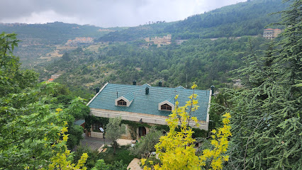
Beit El Qamar
2.0 km
Discover the charm of Deir El Qamar at Beit El Qamar, a cozy bed and breakfast offering authentic Lebanese cuisine and warm hospitality in a historic setting.
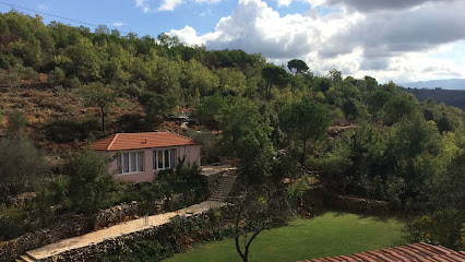
Mir Amin Palace - قصر الامير أمين
2.1 km
Discover luxury and heritage at Mir Amin Palace, a stunning hotel in Beit ed-Dine, Lebanon, where elegance meets history for an unforgettable experience.

Dar el Mir
2.3 km
Discover the enchanting Dar el Mir in Beit ed-Dine, an exquisite wedding venue boasting breathtaking architecture and rich Lebanese heritage.
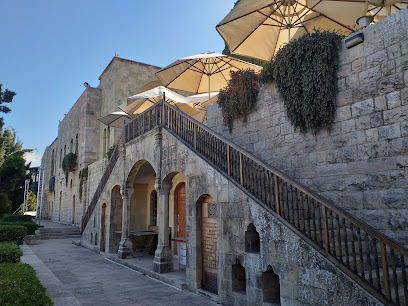
SIGHT - Deir El Qamar
2.3 km
Experience the vibrant nightlife at SIGHT in Deir El Qamar, where a bar, lounge, and nightclub unite for an unforgettable evening in Lebanon.
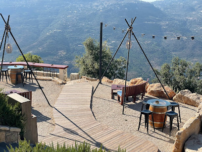
Paradise Villa Deir El Qamar
2.5 km
Discover a tranquil escape at Paradise Villa Deir El Qamar, where luxury meets nature in the heart of Lebanon's Chouf mountains.
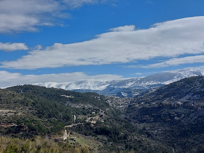
Beit El Deir
2.5 km
Discover the charm of Beit El Deir, a serene guest house in Deir El Qamar, blending tradition and modern comfort amidst stunning landscapes.
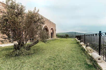
Lavender Getaway
3.1 km
Discover Lavender Getaway in Kfarqatra, where exquisite Lebanese cuisine meets breathtaking mountain views for an unforgettable dining experience.
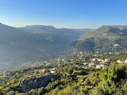
Le Cremier Deir El Qamar
3.1 km
Discover the sweet taste of tradition at Le Cremier Deir El Qamar, where artisanal ice cream meets the charm of Lebanese heritage.
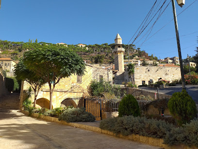
Beyt el Jabal - Restaurant
3.1 km
Experience authentic Lebanese cuisine with stunning views at Beyt el Jabal in Deir El Qamar, the perfect dining destination for tourists.
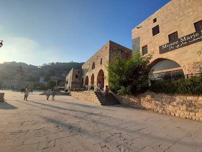
Beyt el Jabal - Guesthouse
3.1 km
Experience the charm of traditional Lebanese hospitality at Beyt el Jabal, a guesthouse nestled in the scenic village of Deir El Qamar.
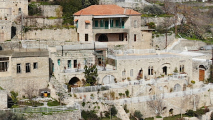
Bachir Ice cream
3.2 km
Discover the delightful flavors of Bachir Ice Cream in Deir El Qamar, where artisanal treats meet the charm of Lebanese heritage.
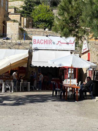
Serail El Bek - Restaurant
3.2 km
Experience the vibrant flavors of Lebanese cuisine at Serail El Bek in Deir El Qamar, a culinary haven set against a stunning mountain backdrop.
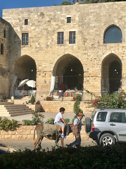
Deir Al Kamar Municipality
3.2 km
Explore the rich heritage and vibrant culture of Deir Al Kamar Municipality, a historic gem in the heart of Lebanon with stunning architecture and warm hospitality.
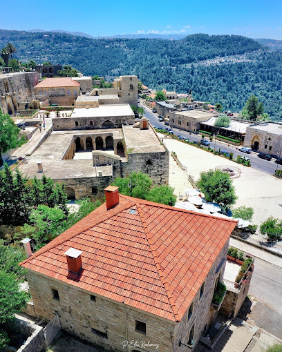
Al Midane Café Restaurant
3.2 km
Experience the heart of Lebanese cuisine at Al Midane Café Restaurant in Deir El Qamar, where tradition meets flavor in a charming setting.
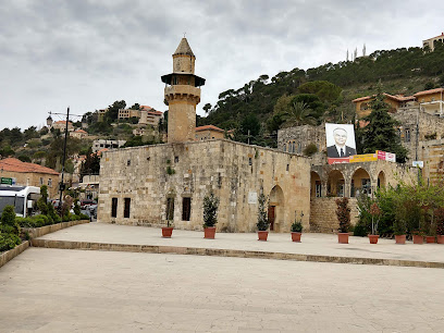
Unmissable attractions to see
Toufic said garden
0.8 km
Discover Toufic Said Garden, a tranquil Lebanese oasis of lush greenery and vibrant flora perfect for relaxation and exploration.

رام كفرقطرة
1.1 km
Discover the serene beauty of Ram Kfarqatra, a stunning garden in Lebanon, where tranquility and nature come together for a perfect escape.

رام كفرقطرة
1.1 km
Explore Ram Kfarkatra, a serene garden oasis in Maaser Beit Al Dine, Lebanon, perfect for nature lovers and peaceful retreats.

Aida Zaytoun
1.2 km
Discover the tranquil beauty of Aida Zaytoun Garden in Kfar Qatra, a serene escape to enjoy nature's vibrant flora and peaceful surroundings.
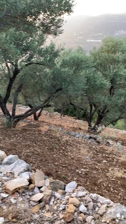
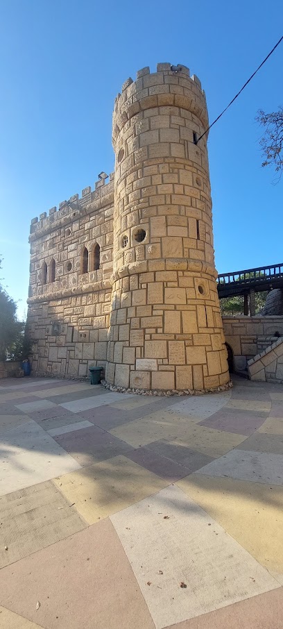
Moussa Castle
1.5 km
Explore the extraordinary Moussa Castle, an architectural marvel in Lebanon blending rich history with breathtaking views, perfect for every traveler.
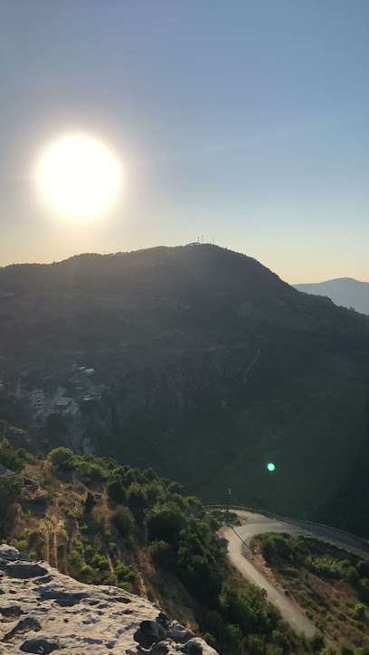
Ain Aziemeh
1.5 km
Experience the serene beauty and cultural richness of Ain Aziemeh, a must-visit tourist attraction in Kfar Nabrakh, Lebanon.
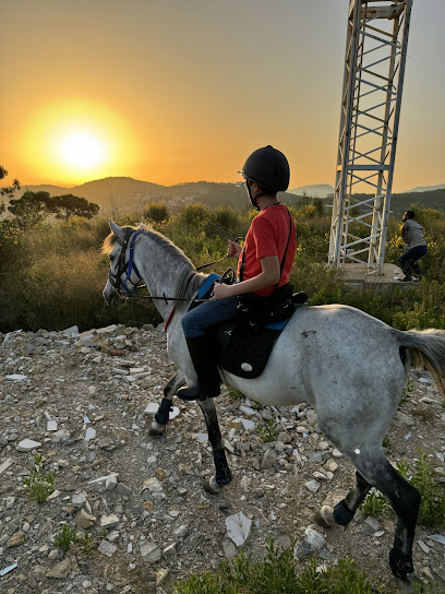
Cedars Trail Riding - Horse Riding Trek
1.9 km
Experience unforgettable horseback riding adventures through the stunning landscapes of Lebanon at Cedars Trail Riding in Samqaniyeh.
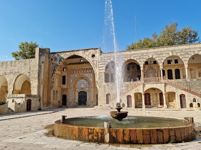
Beiteddine Palace
2.0 km
Explore Beiteddine Palace: A Majestic Historical Landmark in Lebanon's Scenic Mountains
Kfar qatra lake
2.7 km
Explore the tranquil beauty of Kfar Qatra Lake, a hidden gem in Lebanon, perfect for nature lovers and adventure seekers alike.
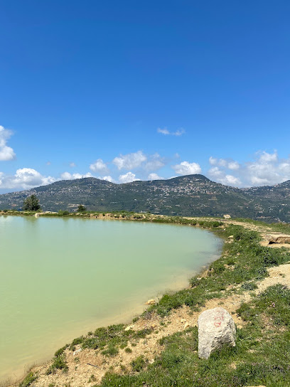
St Charbel statue
2.9 km
Explore the serene St. Charbel statue in Majdal El Meouch, a spiritual symbol set in a breathtaking landscape, perfect for reflection and admiration.
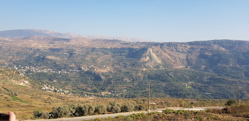
Haradish
3.1 km
Experience the tranquility and natural beauty of Haradish Park in Baakleen, Lebanon, a perfect retreat for nature lovers and tourists alike.
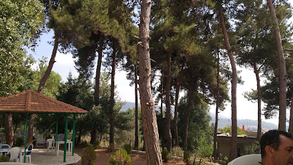
Marie Baz Museum
3.2 km
Explore the captivating history and culture of Lebanon at the Marie Baz Museum in Deir El Qamar, a must-visit destination for every traveler.
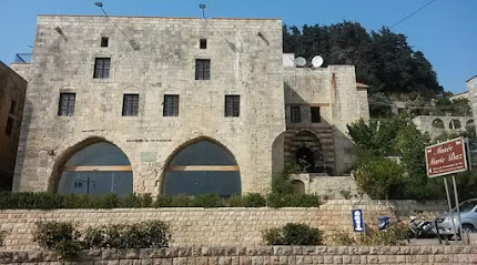
Fakher El Dine Ii Le Grand Castle
3.2 km
Explore the historical grandeur of Fakher El Dine II Le Grand Castle in Deir El Qamar, a majestic landmark embodying Lebanon's rich heritage.
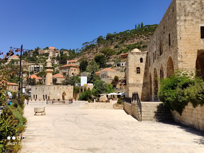
Hiking Local Guide (Shouf region)
3.2 km
Discover Deir El Qamar: A stunning hiking area in Lebanon's Shouf region, blending natural beauty with rich historical landmarks.
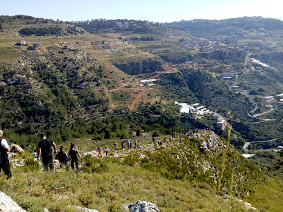
Samqaniyeh Public Park
3.2 km
Discover the tranquility of Samqaniyeh Public Park, a lush oasis perfect for relaxation and immersing in local culture amidst nature's beauty.
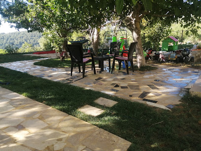
Essential places to dine
Talet shkeef
0.3 km
Experience authentic Lebanese cuisine at Talet Shkeef in Kfar Qatra - where every dish tells a story.
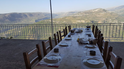
Kasser Alamira RESTAURANTS
0.7 km
Experience authentic Lebanese flavors at Kasser Alamira - where tradition meets taste along Beit Ed Dine Road.
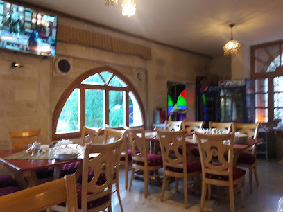
Diwan al farah restaurant
1.5 km
Experience the essence of Lebanon at Diwan al Farah Restaurant in Beit ed-Dine, where traditional flavors meet warm hospitality.
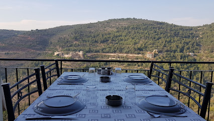
Al Qalaa - Restaurant
1.5 km
Discover authentic Lebanese flavors at Al Qalaa Restaurant, where delicious food meets stunning views in a warm atmosphere.
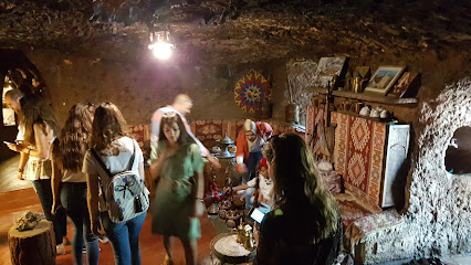
Coara Restaurant
1.5 km
Discover authentic Lebanese cuisine at Coara Restaurant in Kfar Qatra - where tradition meets taste in a cozy setting.
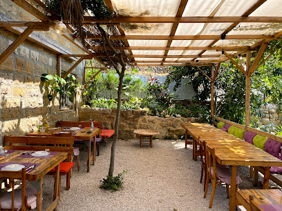
Al Hatemia - Restaurant
1.7 km
Experience authentic Lebanese flavors at Al Hatemia Restaurant in Beit ed-Dine - where tradition meets modern dining.
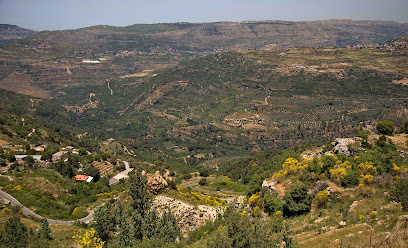
Beit al beik
1.8 km
Experience authentic Lebanese cuisine at Beit al Beik, a family-friendly restaurant in the historic town of Beit ed-Dine.
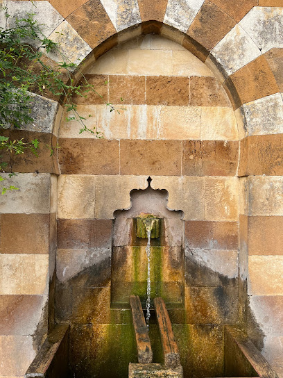
La Paletta
1.8 km
Discover La Paletta in Beit ed-Dine: where exquisite Lebanese flavors meet warm hospitality in a charming setting.
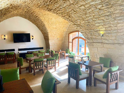
Mir Amin Palace Terrace Restaurant
2.0 km
Experience authentic Lebanese cuisine amidst breathtaking views at Mir Amin Palace Terrace Restaurant in Beit ed-Dine.
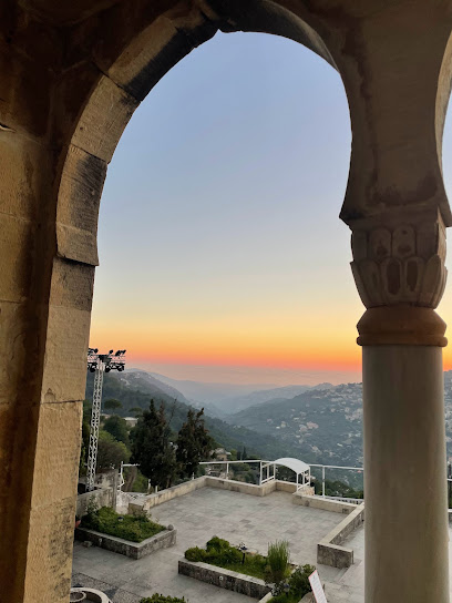
Rawabi Al Amir - Restaurant
2.1 km
Experience authentic Lebanese cuisine amidst the stunning backdrop of Beit ed-Dine at Rawabi Al Amir Restaurant.
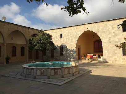
Le Moulin - Restaurant
2.2 km
Experience authentic Lebanese cuisine at Le Moulin in Beit ed-Dine - where tradition meets breathtaking views.

Jannat Al Nahrayn
2.3 km
Experience authentic Lebanese cuisine amidst stunning landscapes at Jannat Al Nahrayn in Rechmaya.
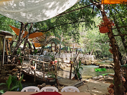
نادي الضباط بيت الدين
2.4 km
Experience authentic Lebanese cuisine at نادي الضباط بيت الدين in Beit ed-Dine - where tradition meets flavor in a breathtaking setting.

Shouf Paradise
2.5 km
Experience authentic Lebanese cuisine at Shouf Paradise in Samqaniyeh, where every dish tells a story and every meal becomes a cherished memory.
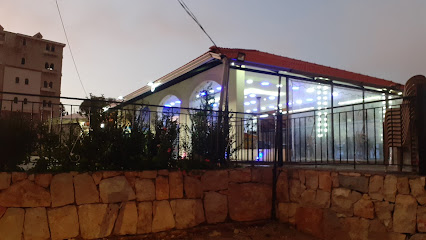
Verona Resto
2.5 km
Discover the essence of Italy at Verona Resto in Samqaniyeh – where every dish tells a story.
Markets, malls and hidden boutiques
Ghandour Fadoul Saj
1.1 km
Experience the authentic flavors of Lebanon at Ghandour Fadoul Saj, a delightful bakery in Deir El Qamar, where every bite tells a story.
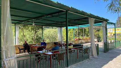
Mobilium Lebanon
2.1 km
Explore Mobilium Lebanon for exquisite furniture that merges style, quality, and local craftsmanship in a breathtaking setting.

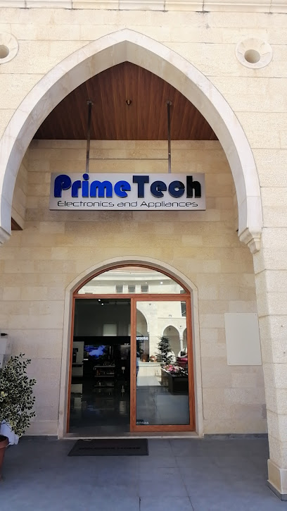
PrimeTech Electronics & Home Appliances
2.1 km
Explore the latest in technology at PrimeTech Electronics & Home Appliances, your go-to destination for innovative gadgets and essential home electronics.
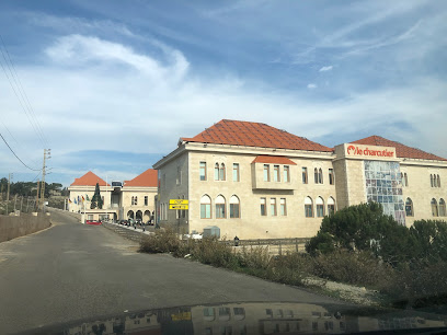
Khattar Group KGC Offices
2.1 km
Discover the vibrant shopping experience at Khattar Group KGC Offices in Samqaniyeh, Lebanon, where local culture meets modern retail.
Karaca Lebanon
2.1 km
Explore the exquisite craftsmanship of Karaca Lebanon, where tradition meets modern elegance in stunning furniture and decor.

DK Haute Couture
2.5 km
Explore luxury fashion at DK Haute Couture in Beit ed-Dine, where elegance meets exquisite craftsmanship in every piece.

Venus Perfumerie
2.5 km
Discover the art of fragrance at Venus Perfumerie in Samqaniyeh, where unique scents and artisanal craftsmanship come together.

Bag n Save
2.6 km
Explore Bag n Save in Samqaniyeh for unbeatable deals on fashion, home goods, and unique souvenirs at an exceptional outlet store.

Harmouch Auto Parts
2.6 km
Discover top-quality car accessories at Harmouch Auto Parts in Samqaniyeh, where automotive excellence meets customer satisfaction.

beayni design
2.7 km
Explore Beayni Design in Samqaniyeh for exquisite home goods blending local craftsmanship and modern design.

Saj Nazira, صاج نظيرة
3.2 km
Discover the authentic taste of Lebanese baked goods at Saj Nazira in Deir El Qamar, where tradition meets deliciousness.
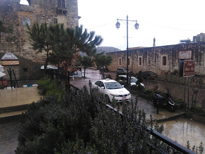
Bou abdo market
3.2 km
Discover the flavors of Lebanon at Bou Abdo Market in Deir El Qamar, where local culture and culinary delights meet in a vibrant supermarket setting.
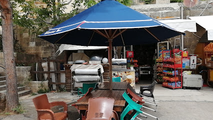
Olina ice cream shop
3.3 km
Savor the finest artisanal ice creams in Deir El Qamar at Olina Ice Cream Shop – a true taste of Lebanese sweetness.

Crispa LB
3.3 km
Discover Crispa LB, a charming crêperie in Deir El Qamar offering mouthwatering crêpes and refreshing juices in a cozy setting.

Maroun Bakery (Paradise)
3.3 km
Discover the vibrant flavors of Lebanon at Maroun Bakery in Deir El Qamar, where every bite tells a delicious story of tradition and craftsmanship.

Essential bars & hidden hideouts
Snou-bar
2.0 km
Discover the lively charm of Snou-bar in Beit ed-Dine, where local drinks and a vibrant atmosphere await every visitor.

Portico
3.3 km
Discover Portico, a charming bar in Deir El Qamar offering delightful drinks and stunning views in a vibrant atmosphere.

Zaya Pub
3.3 km
Discover Zaya Pub in Deir El Qamar, where local charm meets a lively atmosphere perfect for unwinding with friends and enjoying delicious refreshments.

Cintra
3.4 km
Experience the vibrant nightlife of Deir El Qamar at Cintra, where local flavors and a lively atmosphere invite you to unwind and socialize.

The Bear
3.4 km
Experience the charm of The Bear pub in Samqaniyeh, where local brews meet hearty fare in a cozy atmosphere.
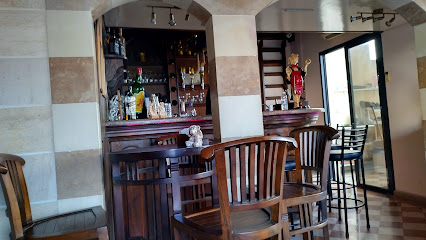
Liqueur Alcoholic Shop
3.5 km
Discover the rich flavors of Lebanon at the Liqueur Alcoholic Shop, where local spirits come to life in a charming and inviting atmosphere.

O Nature
4.0 km
Experience the serenity of O Nature in Deir El Qamar, Lebanon's hidden gem for cultural immersion and natural beauty.

No Limit Sunset Lounge
4.5 km
Experience breathtaking sunsets and vibrant nightlife at No Limit Sunset Lounge in Deir El Qamar, a must-visit bar for every traveler.
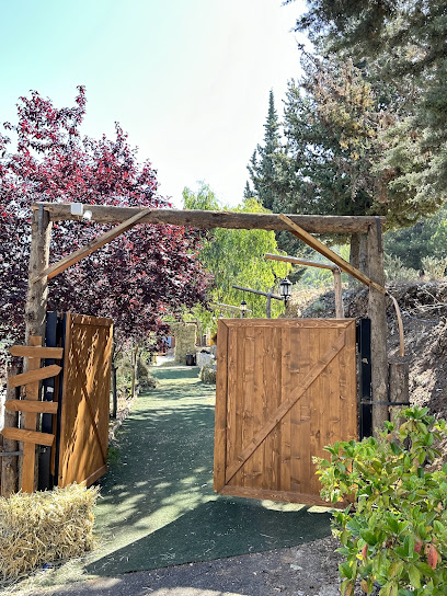
Pine View Lounge
5.3 km
Experience the tranquil charm of Pine View Lounge in Al Bennay, an inviting spot for relaxation and local flavors amidst stunning views.

Sunbeat
5.3 km
Discover the vibrant nightlife at Sunbeat in Kfar Niss, where delicious cocktails and a lively atmosphere await every visitor.
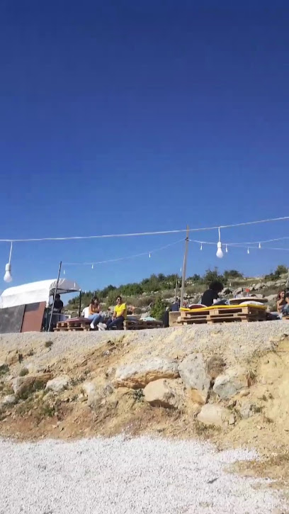
Life Escape Cafe Bar
5.5 km
Discover the vibrant atmosphere of Life Escape Cafe Bar in Remhala, where local culture and flavors meet in a cozy setting.
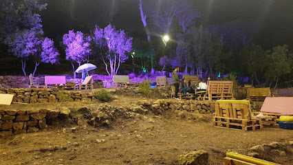
Loveee youuuu
6.8 km
Discover the lively ambiance of Loveee youuuu in Al Bennay, a bar where local charm meets vibrant nightlife for unforgettable evenings.

Campobar Baakline
6.9 km
Discover the vibrant atmosphere and live music at Campobar Baakline, your ultimate destination for relaxation and entertainment along the Baakline River.
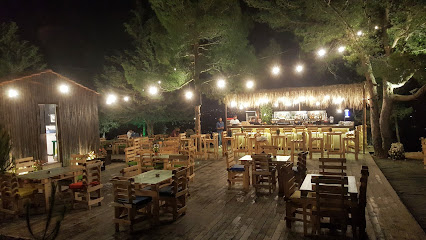
Al Tahouneh Restaurant
7.1 km
Experience the essence of Lebanese gastronomy at Al Tahouneh Restaurant, where every meal is a journey through flavor and tradition.
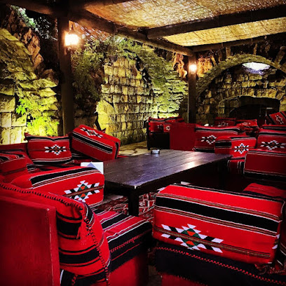
Al Mamlaka Restaurant
7.2 km
Experience the authentic taste of Lebanese cuisine at Al Mamlaka Restaurant in Barouk, where every dish tells a story.
