Explore the Majestic Kadisha Valley: A Hiker's Paradise
Discover the breathtaking beauty and rich history of Kadisha Valley, a hiking haven in Lebanon's stunning landscape, perfect for adventure and exploration.
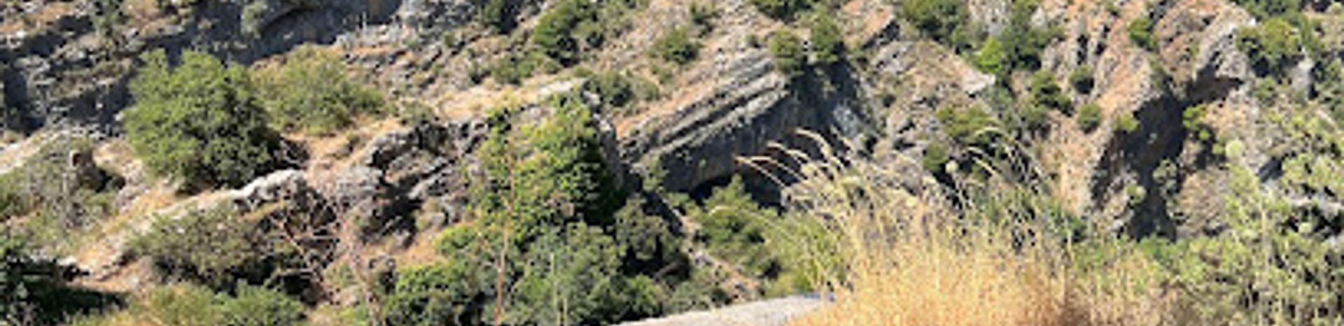
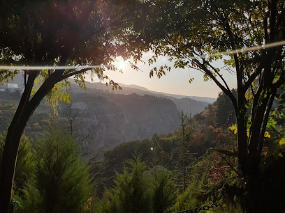
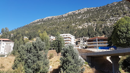
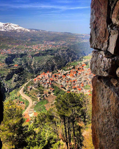
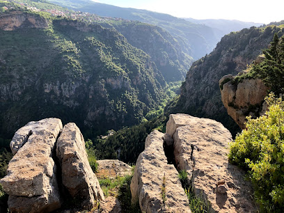
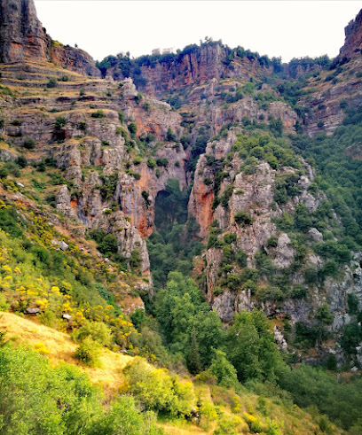
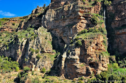
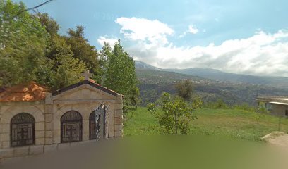
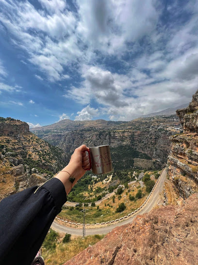
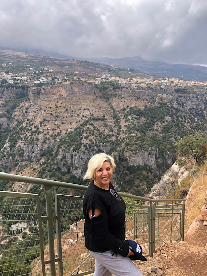
The stunning Kadisha Valley, nestled in Lebanon, offers breathtaking landscapes and rich historical significance, making it a perfect destination for hiking enthusiasts and nature lovers alike. With its deep canyons, lush greenery, and ancient monasteries, the valley promises an unforgettable adventure filled with natural beauty and cultural exploration.
A brief summary to Saint elias to kadisha valley
- 62X6+H65, Bsharri, LB
Local tips
- Visit during spring or autumn for the most pleasant weather and stunning natural scenery.
- Wear sturdy hiking boots as trails can be rocky and uneven in places.
- Bring plenty of water and snacks, as facilities are limited along the trails.
- Consider guided tours to gain deeper insights into the valley's history and natural features.
- Respect local customs, especially when visiting monasteries and spiritual sites.
Getting There
-
Car
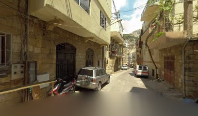
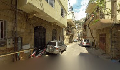
From your location in Qadisha Valley, head northwest towards Bsharri. Use the coordinates 34.2473163, 36.0096176 to enter into your GPS or navigation app. Follow the main road that leads to Bsharri, which is well-marked. Once you arrive in Bsharri, look for signs directing you to the hiking area. Parking is available nearby, and it's usually free.
-
Public Transportation
If you prefer public transportation, you can take a local bus from Qadisha Valley to Bsharri. Buses typically run every 30 minutes. Make sure to ask the bus driver to drop you off at Bsharri, as it is a common stop. Once you arrive in Bsharri, you can either walk to the hiking area (approximately 20 minutes on foot) or use a local taxi for a short ride. Expect to pay around 5,000 LBP for the bus fare and approximately 10,000 LBP for the taxi.
-
Walking
If you're already in close proximity to the hiking area, you can hike from your location in Qadisha Valley. Use the coordinates provided (34.2473163, 36.0096176) as a guide. The terrain can be steep and rugged, so wear appropriate footwear. The walk may take about 30 to 40 minutes depending on your starting point and pace.
Discover more about Saint elias to kadisha valley
Iconic landmarks you can’t miss
Gibran Khalil Gibran's home
0.3 km
Discover the childhood home of Gibran Khalil Gibran, a historical museum that celebrates the life and works of Lebanon's famed poet and philosopher.
Al Zaytouni - Bcharre
0.3 km
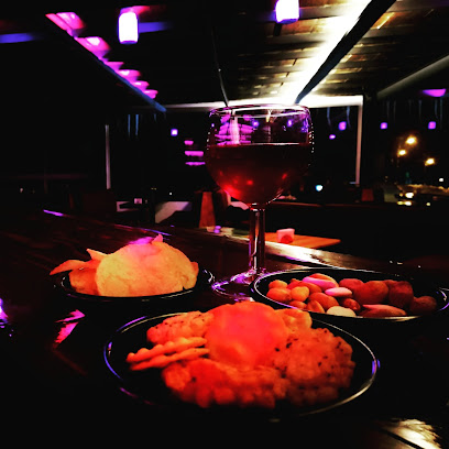
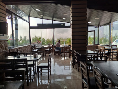
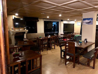
Experience the essence of Lebanese cuisine at Al Zaytouni in Bcharre, where authentic flavors meet breathtaking mountain views.
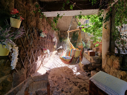
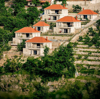
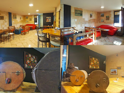
Sequoia Guesthouse
0.5 km
Experience the charm and tranquility of Sequoia Guesthouse in Bsharri, Lebanon, surrounded by nature and offering cozy accommodations and unique outdoor activities.
Beit El Qanater
0.5 km
Discover the charm of Beit El Qanater, a beautiful guest house in Bsharri, Lebanon, offering comfort and stunning natural landscapes.
Tiger Guest House
0.6 km
Experience the serene beauty of Bsharri at Tiger Guest House, your cozy mountain retreat in Lebanon's stunning landscapes.
Hotel Chbat
0.8 km
Experience comfort and stunning mountain views at Hotel Chbat, your perfect escape in Bsharri, Lebanon.

Bauhaus Chalets & Motel
0.9 km
Experience the beauty of Bsharri at Bauhaus Chalets & Motel, a perfect blend of comfort, adventure, and cultural exploration.
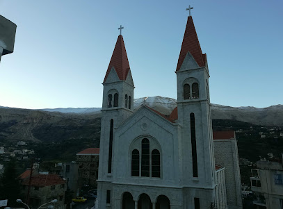
Bsharri Cross
1.9 km
Experience the spiritual serenity at Bsharri Cross, a stunning church nestled in the breathtaking landscapes of Bsharri, Lebanon.
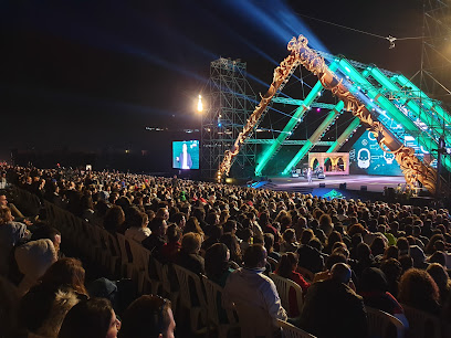
Cedars international festival
4.2 km
Discover the vibrant Cedars International Festival in Lebanon, a cultural celebration of music, art, and local traditions amidst breathtaking cedar landscapes.
My tree
4.7 km
Experience the natural beauty and serenity of My Tree in Ariz, a must-see tourist attraction that offers tranquility and stunning scenery.
MIST Hotel & Spa
5.0 km
Discover the serene beauty and luxury of MIST Hotel & Spa in Ehden, Lebanon – a perfect escape for relaxation and adventure amidst nature's wonders.
Dar Ehden Hotel
5.2 km
Experience unparalleled luxury and stunning natural beauty at Dar Ehden Hotel, your perfect retreat in the Lebanese mountains.
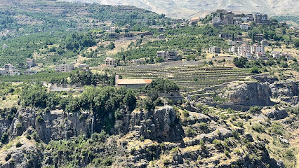
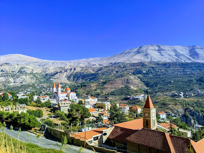
Ehden
5.2 km
Explore Ehden, Lebanon: A serene mountain town brimming with natural beauty, rich history, and vibrant local culture, perfect for a peaceful getaway.
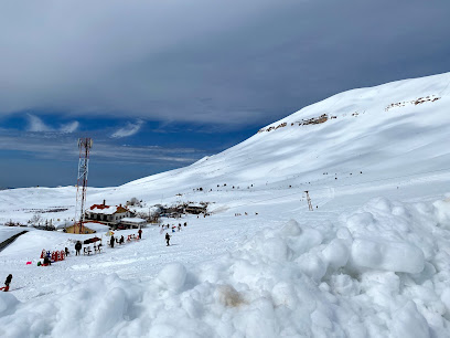
Cedars Bsharri Ski Resort
5.3 km
Explore the alpine beauty and thrilling slopes of Cedars Bsharri Ski Resort, Lebanon's premier winter destination for skiing and family fun.
Ehdeniyat
5.5 km
Discover the vibrant Ehdeniyat festival, where rich Lebanese culture, music, and culinary delights come together in a spectacular celebration in Ehden, Lebanon.
Unmissable attractions to see
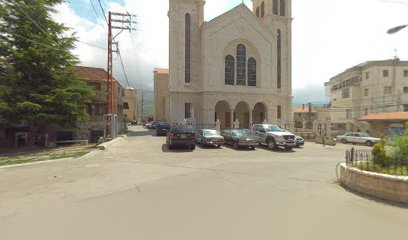
Saint Saba Cathedral
0.2 km
Discover the stunning St. Saba Cathedral in Bsharri, a masterpiece of architecture and spirituality in the heart of Lebanon's mountains.
Bassam Melhem Geagea Garden
0.2 km
Experience the tranquil beauty of Bassam Melhem Geagea Garden in Bsharri, a perfect escape for nature lovers and peace seekers.
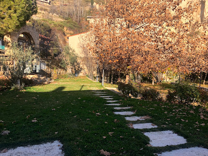
Bcharre Public Garden
0.2 km
Discover the serene beauty of Bcharre Public Garden, a tranquil oasis in Lebanon's stunning landscape, perfect for relaxation and picturesque views.
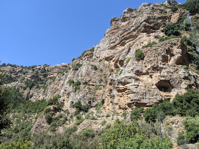
Valley qadisha
0.4 km
Discover the breathtaking landscapes and rich history of Valley Qadisha, a UNESCO World Heritage site in Lebanon, perfect for adventurous travelers.
Bcharre tunnel
0.4 km
Explore the breathtaking Bcharre Tunnel in Lebanon, where stunning landscapes meet significant historical charm, perfect for every adventurer.
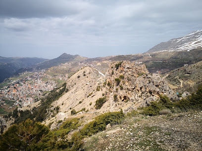
ܩܪܢܬ ܣܗܕ̈ܐ Qornet Sohde
0.4 km
Explore Qornet Sohde, a stunning tourist attraction in Bsharri, Lebanon, where breathtaking landscapes and rich history await every traveler.
Qannoubine Valley Bsharri
0.6 km
Explore the breathtaking Qannoubine Valley in Bsharri, Lebanon – a perfect blend of nature's beauty and rich religious heritage.
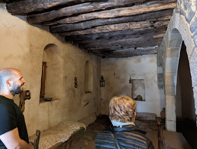
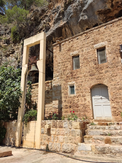
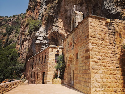
Monastery of Mar Lishaa
0.6 km
Experience the tranquility and historical richness of the Monastery of Mar Lishaa, a serene retreat in the heart of Lebanon's majestic mountains.
Public Garden
0.6 km
Discover the serene beauty of Bsharri's Public Garden, a lush park perfect for relaxation, picnics, and family outings amidst nature.
Qadisha
0.7 km
Explore the breathtaking Qadisha Valley, a UNESCO World Heritage site filled with ancient monasteries, stunning landscapes, and rich cultural heritage.
Saint Georges Church And Park
0.8 km
Explore the tranquil beauty of Saint Georges Church and Park in Bsharri, Lebanon, where spirituality meets stunning natural landscapes.
Saint george public park
0.8 km
Discover the tranquil beauty of Saint George Public Park in Bsharri, where nature, serenity, and community come together to create a picturesque escape.
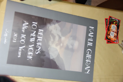
Kahlil Gibran Museum
0.9 km
Explore the Kahlil Gibran Museum in Bsharri: A cultural gem celebrating the life and works of the illustrious poet and philosopher.
Rappel Bchare
1.0 km
Explore Rappel Bchare, a stunning tourist attraction in Bqaa Kafra, Lebanon, offering breathtaking views and thrilling outdoor adventures.
Saint Yaakoub - too Kadisha valley
1.0 km
Explore the breathtaking hiking trails of Saint Yaakoub in Kadisha Valley, a serene escape into nature’s beauty and rich cultural history.
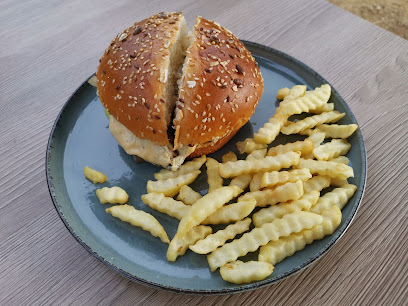
Essential places to dine
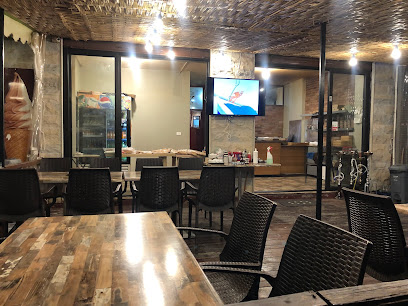
kankoon_by_moa
0.2 km
Experience authentic Lebanese cuisine at Kankoon by Moa in Sarba - where every dish tells a story of flavor and tradition.
Malak el Mouajanat
0.2 km
Discover authentic Lebanese flavors at Malak el Mouajanat – Bsharri's beloved breakfast destination offering fresh ingredients and homemade delights.
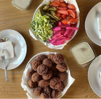
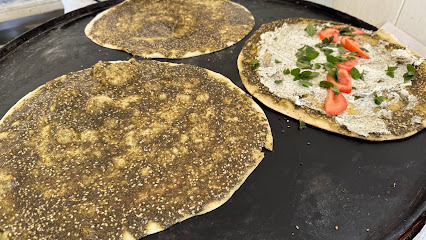
Abou Maurice فلافل أبو موريس
0.3 km
Experience authentic Lebanese cuisine at Abou Maurice in Bsharri; indulge in mouthwatering falafel amidst stunning landscapes.
Crêpe corner
0.3 km
Discover the delightful flavors at Crêpe Corner in Bsharri - where every crêpe is a delicious adventure waiting to be savored!
Saj el Hajj
0.4 km
Experience authentic Lebanese breakfasts at Saj el Hajj in Bsharri - where tradition meets flavor.
Frank Wurst
0.4 km
Experience authentic Lebanese flavors at Frank Wurst in Bsharri – a haven for meat lovers amidst stunning mountain scenery.

restaurant_macdoland
0.4 km
Experience authentic Lebanese cuisine at this charming Sarba restaurant, where every dish tells a story of flavor and tradition.

Saj Maroun & Snack
0.5 km
Experience authentic Lebanese breakfast delights at Saj Maroun & Snack in Bsharri, where tradition meets taste in every bite.
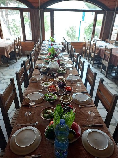
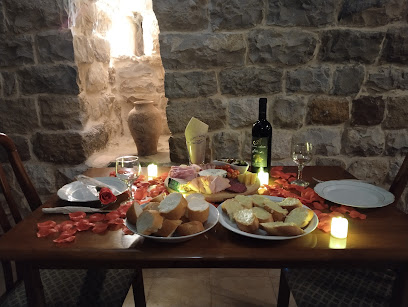
Al Reef Al lubnani restaurant & bungalow الريف اللبناني
0.6 km
Discover authentic Lebanese flavors at Al Reef Al Lubnani in Bsharri—where delicious cuisine meets breathtaking mountain views.
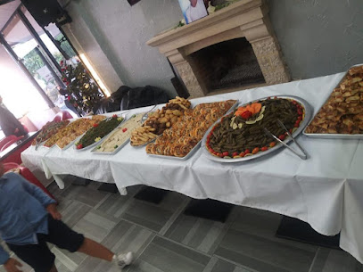
Tripple T Restaurant
0.6 km
Discover authentic Lebanese flavors amidst breathtaking mountain views at Tripple T Restaurant in Bsharri.
Sakhret Kannoubine-Restaurant
0.6 km
Discover authentic Lebanese flavors at Sakhret Kannoubine-Restaurant in Bsharri, where stunning views meet exquisite dining.
Rtc - Restaurant
0.6 km
Savor traditional Lebanese flavors in the scenic town of Bsharri at Rtc - Restaurant, where every meal tells a story.
RTC - RICH TASTE CUISINE
0.6 km
Savor authentic Lebanese flavors at RTC - Rich Taste Cuisine in Bsharri; where tradition meets taste in every dish.
Baloo Pizza
0.6 km
Discover Baloo Pizza: A culinary gem in Bsharri serving delicious fast food with local flair.

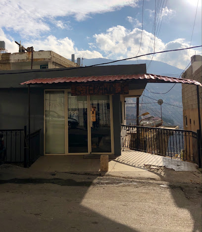
Al Zaytouni - Qadisha ܒܝܬ ܡܟܘܠܬܐ
0.7 km
Discover the essence of Lebanese cuisine at Al Zaytouni, nestled in Qadisha Valley with breathtaking views and authentic flavors.
Markets, malls and hidden boutiques
Choc-a-lot bcharre
0.2 km
Discover the sweet indulgence of artisanal chocolates at Choc-a-lot Bcharre, where every bite is a taste of heaven in the heart of Lebanon.

Kangaroo Supermarket
0.2 km
Discover local flavors and fresh produce at Kangaroo Supermarket in Bsharri, your gateway to authentic Lebanese cuisine.
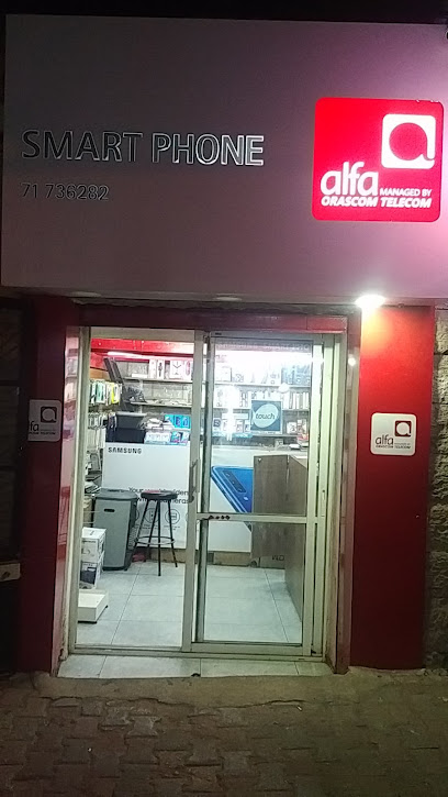
Smart Phone
0.2 km
Explore Bsharri with confidence, thanks to Smart Phone - your reliable cell phone store for all mobile needs in this beautiful Lebanese town.
KAYOUSS MARKET
0.2 km
Discover the vibrant KAYOUSS MARKET in Bsharri for a unique shopping experience filled with local flavors and friendly faces.
patisserie ôdelices
0.3 km
Discover the exquisite pastries of Patisserie Ôdelices in Bsharri, where every bite is a delightful experience of sweet artistry and flavor.
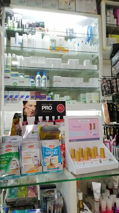
Simona
0.3 km
Explore Bsharri with confidence, knowing Simona Pharmacy is there to meet all your healthcare and wellness needs.
Saeba gamil
0.3 km
Experience the vibrant flavors of Lebanon at Saeba Gamil, your go-to supermarket in Bsharri for local delicacies and fresh produce.
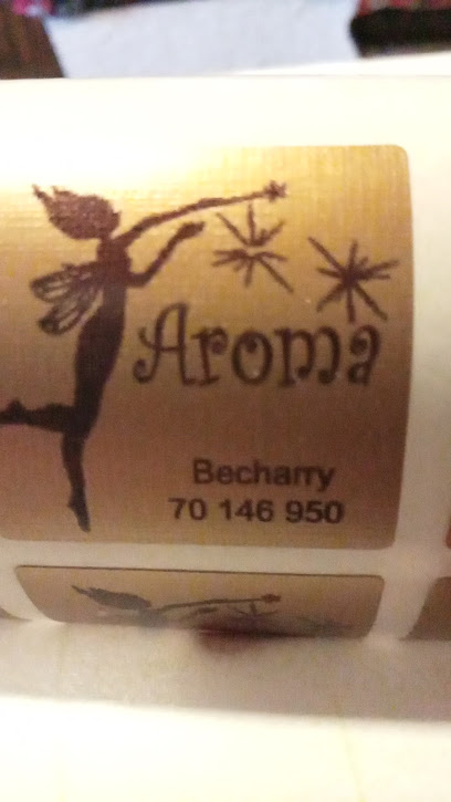
Aroma
0.3 km
Explore Aroma in Bsharri for a unique insight into Lebanese craftsmanship and a variety of quality building materials.
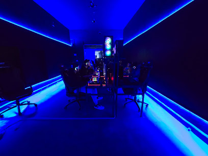
ASTRO GAMER
0.3 km
Discover Astro Gamer, Bsharri's ultimate video game rental store, featuring a wide selection of titles and a welcoming atmosphere for all gamers.
Aliens by zina
0.3 km
Explore the unique fashion offerings at Aliens by Zina, a clothing store in Bsharri that blends modern style with local Lebanese craftsmanship.

Micky's Cocktail
0.3 km
Discover the sweetest side of Bsharri at Micky's Cocktail, a dessert haven offering delectable treats and a cozy atmosphere.
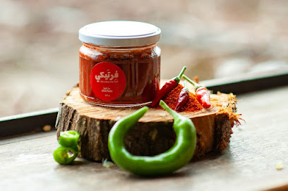
Fertaike - The Lebanese Fork
0.4 km
Explore authentic Lebanese flavors at Fertaike - The Lebanese Fork in Bsharri, offering natural goods that celebrate the region's rich culinary heritage.
tawfeer supermarket saida
0.4 km
Explore Tawfeer Supermarket in Bsharri for unbeatable deals and a taste of local Lebanese cuisine amidst stunning mountain views.

Pharmacy St Charbel
0.4 km
Discover Pharmacy St Charbel in Bsharri, Lebanon - your trusted source for health and wellness essentials during your travels.
Abdou
0.4 km
Explore Abdou in Bsharri, a jewelry store offering exquisite handcrafted pieces, blending tradition and elegance in every design.

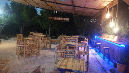
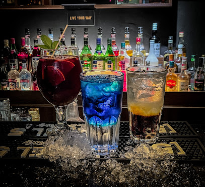
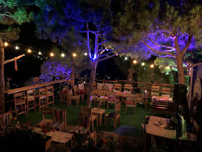
Essential bars & hidden hideouts
Cave Du Roi
0.2 km
Discover Cave Du Roi, a charming bar near Saint Saba Cathedral in Bsharri, where local drinks meet stunning views and a cozy atmosphere.
admin_beirut
0.2 km
Experience the cozy charm of Bsharri's favorite bar, offering delightful drinks in a stunning natural setting.
The Alpine Ale
0.5 km
Discover the warm ambiance and local flavors at The Alpine Ale in Bsharri, where craft beers meet traditional Lebanese cuisine.
Grilla resto-bar
0.5 km
Experience the taste of Lebanon at Grilla Resto-Bar in Bsharri, where local flavors and breathtaking views come together for an unforgettable dining experience.
الشلال
0.7 km
Enjoy authentic Lebanese cuisine with breathtaking views at الشلال in Bsharri, a culinary gem of the region.
Vibes_lb_
0.7 km
Experience the vibrant atmosphere of Vibes_lb_ in Bsharri, where authentic Lebanese cuisine meets a lively pub ambiance.
Borea
0.8 km
Experience the charm of Borea, a cozy bar in Bsharri, where local flavors meet breathtaking mountain views.
fruitbar
1.0 km
Discover the vibrant atmosphere of Fruitbar in Bsharri, where refreshing beverages and local culture unite for an unforgettable night out.
SnooBar
1.0 km
Experience the vibrant nightlife at SnooBar in Bsharri, where stunning views meet an eclectic drink selection and a welcoming atmosphere.
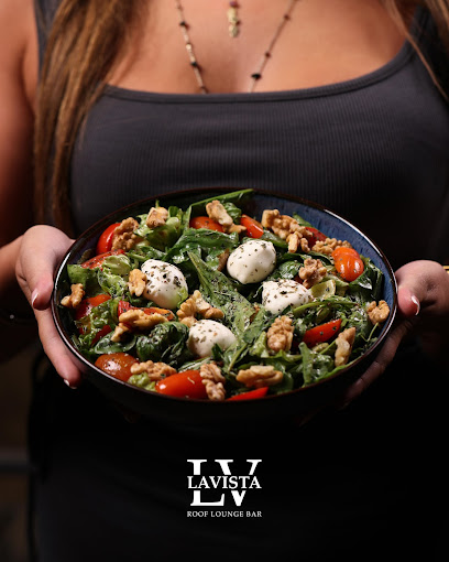
Lavista roof lounge bar
1.3 km
Enjoy breathtaking views and a vibrant atmosphere at Lavista Roof Lounge Bar in Bsharri, perfect for an unforgettable night out.
Lacasa de nieve
1.3 km
Experience the vibrant nightlife at Lacasa de nieve in Bsharri, Lebanon, a bar offering unique drinks and a cozy atmosphere for travelers.
Muse bar
1.5 km
Experience breathtaking sunsets and vibrant nightlife at Muse Bar, the ultimate destination for relaxation and enjoyment in Bsharri.
Aal kou3 - عالكوع
2.0 km
Discover the charm of Hadchit at Aal kou3, a cozy pub offering local flavors, vibrant atmosphere, and authentic Lebanese hospitality.
Heaven70seven
2.6 km
Discover the cozy charm of Heaven70seven, a top-rated bar and restaurant in Ariz offering delicious cuisine and a vibrant atmosphere.
Zoofaa
2.6 km
Experience the lively atmosphere of Zoofaa, a premier pub in Baalbeck, perfect for drinks, socializing, and enjoying local culture.