Fürstensteig, Furstin Gina Weg Travel Guide
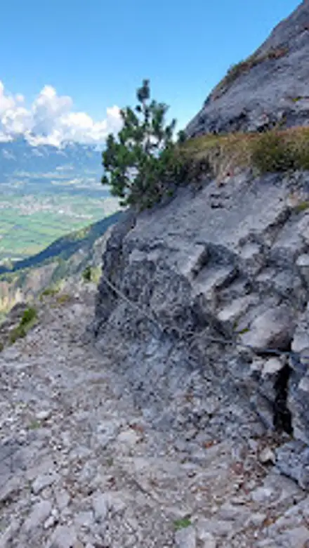
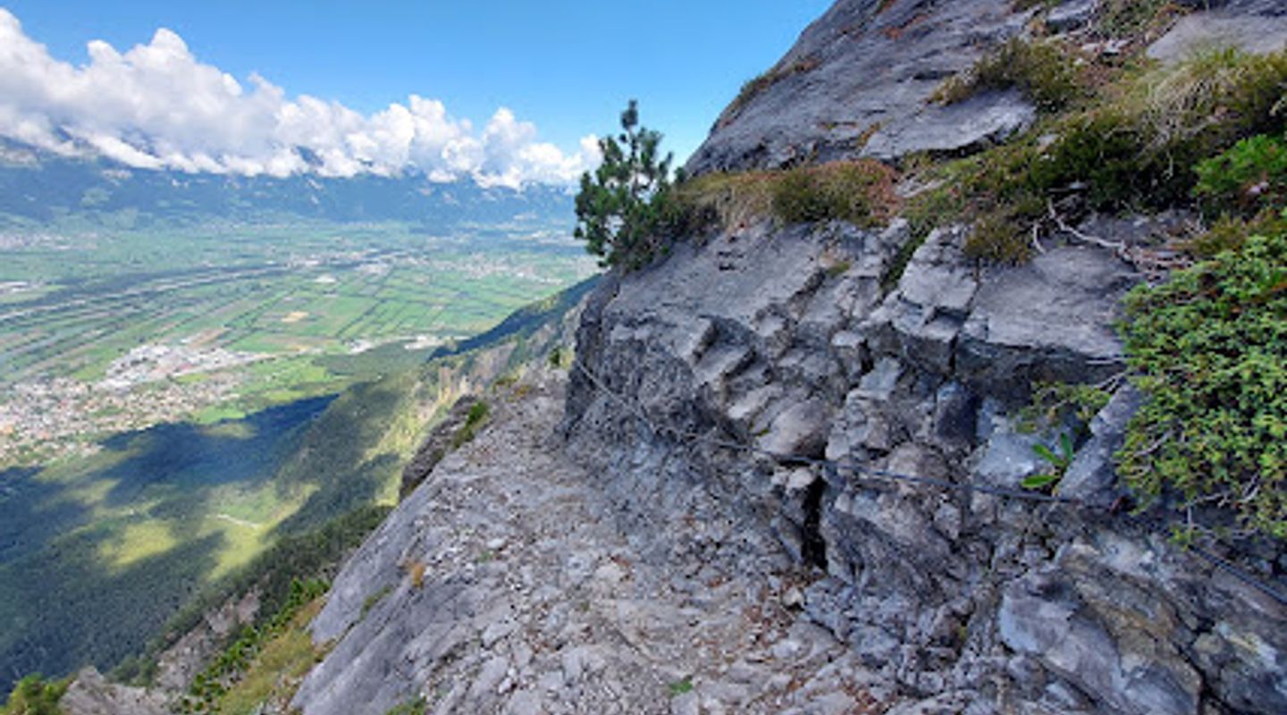
Hike the Fürstensteig for breathtaking views of the Rhine Valley and Swiss Alps on a thrilling cliffside trail in Liechtenstein.
The Fürstensteig is a celebrated hiking trail near Vaduz, Liechtenstein, known for its dramatic cliffside paths and panoramic views of the Rhine Valley and Swiss Alps. This moderately challenging route offers a thrilling experience for hikers of various skill levels, with secured sections and breathtaking vistas.
A brief summary to Fürstensteig
- 4HX3+G2, Vaduz, LI

Know before you go
Hi, I'm Eve. Here are a few practical things to know before exploring Fürstensteig.
- Wear sturdy hiking boots to ensure a good grip on the rocky terrain.
- Bring plenty of water and snacks to stay energized during the hike.
- Check the weather forecast before your hike to ensure safe conditions.
- Visit during the week to avoid weekend crowds.
- Take a camera to capture the stunning vistas along the trail.
Do you manage this location?
Take control to get all the benefits, like improved information, better appearance, and stronger visibility across AI-powered discovery. Learn more about listing your business on Evendo
Activate your presenceOther nearby places you may find interesting
The closest places of the same kind, if this one is not quite what you had in mind.



Explore Fürstensteig on the Map
A handpicked selection of must-see spots near Fürstensteig, mapped for you.
Getting There
-
Public Transport
From Vaduz, take a bus towards Gaflei. The bus will drop you off near the parking area, which serves as the trailhead for Fürstensteig. Bus fare is approximately CHF 3.00 - CHF 4.00. Check local bus schedules for the most up-to-date times.
-
Driving
Drive towards Gaflei, where the parking area for the Fürstensteig trailhead is located. Be aware that the roads leading to Gaflei are steep and windy. Parking is limited and fills up quickly, especially on weekends. Parking fees are approximately CHF 5.00 per day.
-
Walking
If you are already in the vicinity of Vaduz, you can walk towards Gaflei, following the hiking signs. This will be a steep walk, gaining significant elevation. Ensure you have a map or GPS-enabled device to guide you. Allow approximately 2-3 hours for the walk to the trailhead.
Discover more about Fürstensteig













Your all‑in‑one travel companion app
Explore expert travel guides, compare and book tours, experiences, hotels, and more—all from the palm of your hand. Download now for seamless trip planning wherever your wanderlust takes you.


Explore More of Furstin Gina Weg
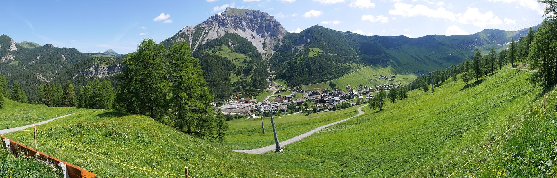
Looking beyond Fürstensteig? Discover Furstin Gina Weg for broader travel guides, local hot-spots, and regional highlights.
Explore Furstin Gina Weg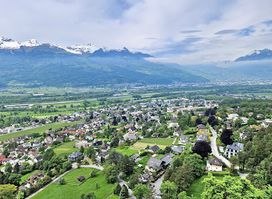
A scenic viewing platform on the Vaduz forest adventure path, offering panoramic views of the Rhine Valley and a tranquil escape into nature.

Discover the breathtaking Fürstensteig Trail in Vaduz, offering stunning views of Liechtenstein and the Swiss Alps for an unforgettable hiking experience.