Storių pažintinis takas: A Journey Through Geodetic History
Explore the scenic Storių pažintinis takas, discover the Struve Geodetic Arc, and learn about Earth measurement history in Anykščiai Regional Park.
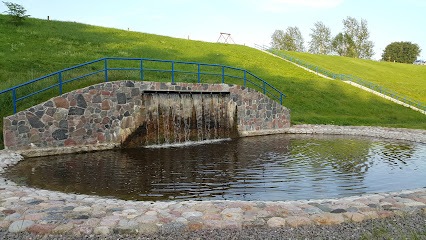
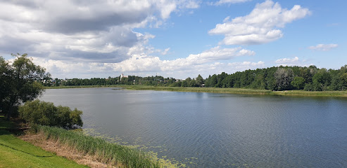
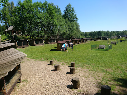
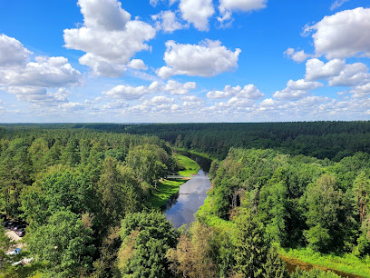
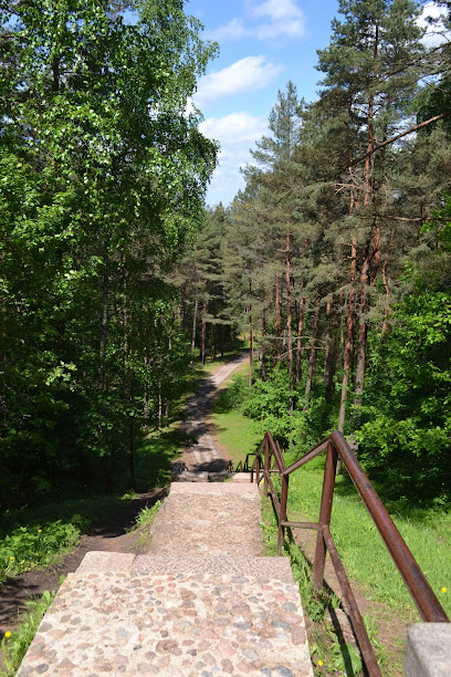
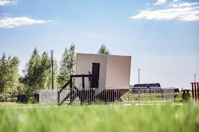
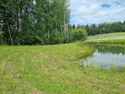
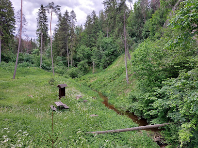
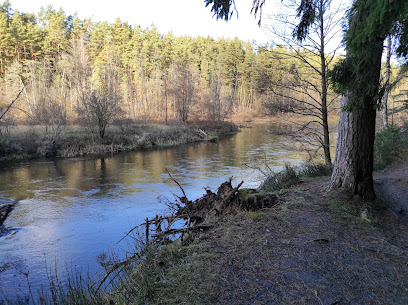
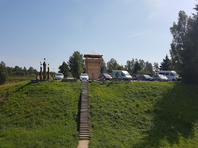
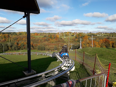
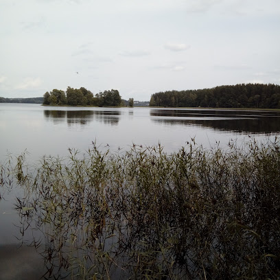
The Storių pažintinis takas (Storiai Cognitive Trail) offers visitors a chance to explore the scenic landscapes of Anykščiai Regional Park while delving into the history of the Struve Geodetic Arc. This 1.2 km trail leads to a geodetic point, allowing you to learn about 19th-century land measurement techniques and appreciate the scale of our planet.
A brief summary to Storių pažintinis takas
- Anykščiai District Municipality, LT
Local tips
- Wear comfortable shoes suitable for walking on compacted soil and climbing wooden stairs.
- Scan the QR codes on the information stands to listen to stories about the Struve Geodetic Arc.
- Bring a camera to capture the scenic views from the highest point of the Anykščiai Regional Park.
Getting There
-
Driving
From Anykščiai, drive along Šlavės gatvė. Continue onto a gravel road until you see the sign for Struvės geodezinis punktas. Turn left into the parking area, where the trail begins.
-
Public Transport
While Anykščiai has public transport , specific routes to Storių pažintinis takas may be limited. Check local bus schedules for connections to the Anykščiai Regional Park area and consider a taxi or ride-sharing service for the final leg of the journey. A bus from Vilnius to Anykščiai costs $12 - $15. Taxi or ride-sharing from Anykščiai bus station to Storių pažintinis takas is approximately $10-$15.
Discover more about Storių pažintinis takas
Iconic landmarks you can’t miss
Paminklas Antanui Kraujeliui
26.1 km
Explore the cultural heritage at Paminklas Antanui Kraujeliui, a serene monument in Velbiškės, Utena District, celebrating Lithuanian history and legacy.
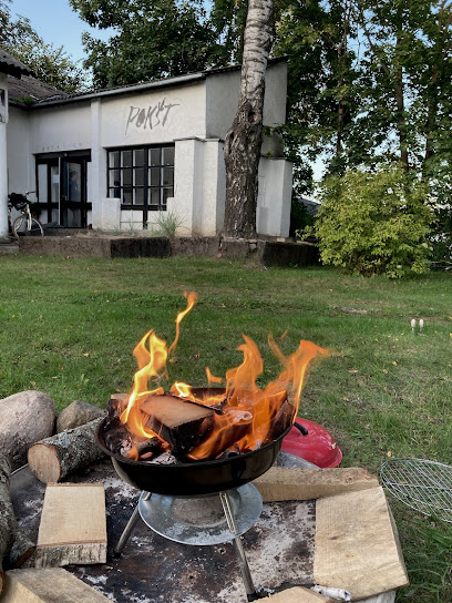
POKŠT kūrybinė erdvė- galerija
28.8 km
Experience Utena's vibrant cultural scene at POKŠT kūrybinė erdvė, an art gallery and community center that celebrates local creativity and artistry.
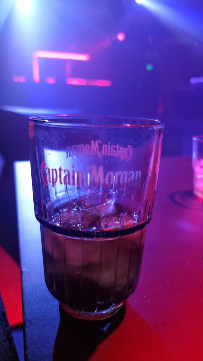
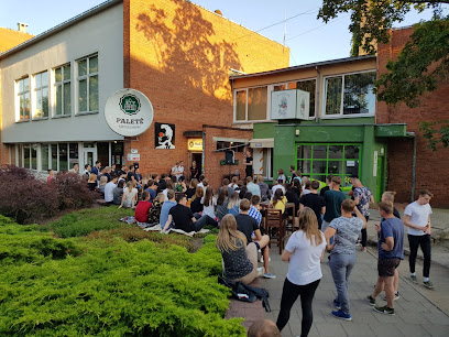
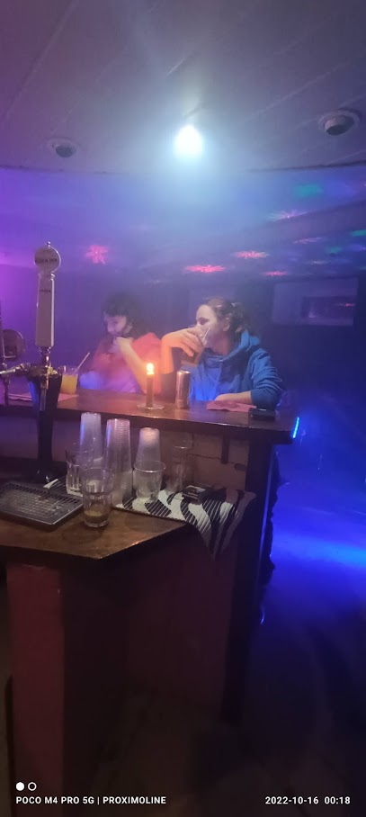
Pallets bar
29.4 km
Experience the vibrant nightlife of Utena at Pallets Bar, where drinks flow and memories are made in a lively atmosphere.
Utenos turizmo informacijos centras
29.5 km
Explore Utena with ease at the Utenos Turizmo Informacijos Centras, your essential stop for maps, local insights, and cultural experiences.
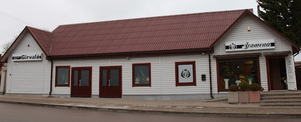
Girvale
29.6 km
Explore Girvale in Utena - a serene funeral home reflecting Lithuanian cultural traditions and memorial practices.
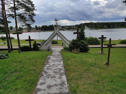
Utena St. Virgin Mary, Queen of Martyrs Chapel
29.9 km
Discover the serene beauty of Utena St. Virgin Mary, Queen of Martyrs Chapel and immerse yourself in its rich spiritual heritage during your travels.
Vestuvių Kalnas
31.4 km
Discover the enchanting views and serene atmosphere of Vestuvių Kalnas, a hidden scenic gem in Lithuania's Utena District.
Country Houses Vidų Sodyba
38.5 km
Discover the serene beauty and rustic charm of Country Houses Vidų Sodyba, a perfect retreat in Lithuania's Utena District for nature lovers and relaxation seekers.

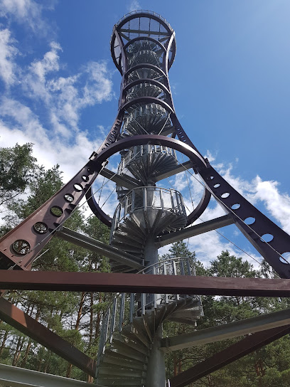
Labanoras regional park tower
40.6 km
Discover stunning vistas and serene landscapes at Labanoras Regional Park Tower, a premier observation deck in the heart of Lithuania's natural beauty.
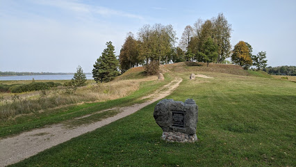
Aukštupėnai mound
40.8 km
Explore the ancient wonders of Aukštupėnai Mound, a historical landmark in Lithuania offering stunning views and rich cultural history.
Siesikai castle
45.3 km
Explore the breathtaking Siesikai Castle, a historical landmark offering unique architecture and stunning natural beauty in Lithuania's Ukmergė District.
Bunny Valley
45.7 km
Experience the joy of wildlife at Bunny Valley, a family-friendly zoo in Lithuania, where nature and education come together in a magical setting.
Holocaust Memorial
46.4 km
Explore the Holocaust Memorial, a poignant tribute in Utena District, reminding us of the past and the importance of resilience and remembrance.
Aukštakalniai
46.7 km
Experience the tranquil charm of Aukštakalniai, a hidden gem in the Rokiškis District, perfect for a scenic stop during your Lithuanian travels.
A. ir M. Miškinių literatūrinė-etnografinė sodyba
48.6 km
Experience the rich tapestry of Lithuanian culture at A. ir M. Miškinų Literatūrinė-Etnografinė Sodyba, where history and heritage come alive.
Unmissable attractions to see
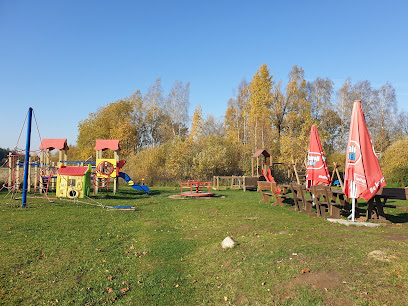
Anykščiai Regional Park
1.3 km
Explore the enchanting landscapes and diverse wildlife of Anykščiai Regional Park, a top destination for outdoor enthusiasts in Lithuania.
Monument Beacon of Happiness
2.4 km
Discover the Monument Beacon of Happiness in Anykščiai, Lithuania: a tribute to literary heritage and a symbol of joy amidst stunning landscapes.
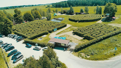
Kukurūzų labirintas
3.2 km
Get lost in fun at Kukurūzų labirintas, a unique corn maze offering a playful outdoor adventure near Anykščiai, Lithuania.
Kanapių labirintas
3.4 km
Explore the fragrant and immersive Kanapių Labirintas, a unique hemp maze experience near Anykščiai, open seasonally for family fun.
Toks Kitoks miestelis
3.5 km
Experience gravity in a new light at this collection of disorienting and fun houses near Anykščiai, perfect for families and quirky adventurers.
Labirintų pramogų parkas
3.5 km
Discover a world of mazes and family fun at LABI Park, the Baltics' only amusement park of its kind near Anykščiai, Lithuania.
Adovis
3.5 km
Experience the tranquility of Adovis National Forest, a haven for nature lovers in Lithuania's stunning Anykščių District Municipality.
Panorama
3.5 km
Experience breathtaking panoramic views and serene nature in Katlėriai, Anykščiai – a perfect escape for nature lovers and photographers.
Apverstas Namas - Anyksciai
3.5 km
Experience a world turned upside down at Anykščiai's Apverstas Namas, a quirky attraction offering laughter and unforgettable photo opportunities!
Šlavės atodanga
3.6 km
Explore unique geological formations at Šlavės Exposure, a window into Lithuania's ancient past in the Anykščiai Pinewood.
Anykščių Šilelis
3.7 km
Discover the enchanting beauty of Anykščių Šilelis, a national forest in Lithuania, perfect for nature lovers and outdoor enthusiasts seeking serenity.
Kalita hill (toboggan run)
3.8 km
Experience the thrill of the toboggan run at Kalita Hill in Anykščiai, Lithuania – a unique adventure for the whole family!
The Šventoji River Cognitive Path
3.9 km
Discover nature and history along the scenic Šventoji River Cognitive Path in Anykščiai, a perfect blend of education and recreation.
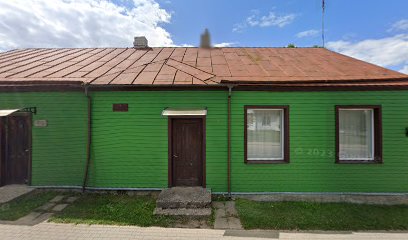
Buvęs profilaktinės dezinfekcijos skyriaus pastatas
4.1 km
Explore the Buvės Profilaktinės Dezinfekcijos Skyriaus Pastatas, a historical gem in Anykščiai showcasing unique architecture and rich local history.
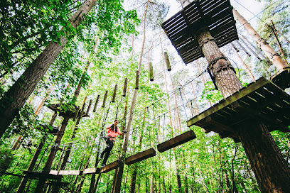
Dainuvos Adventure Valley
4.1 km
Experience thrilling treetop adventures for the whole family in the heart of Anykščiai's stunning natural landscape at Dainuvos Adventure Valley.
Essential places to dine
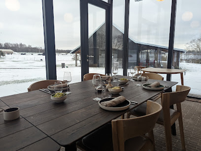
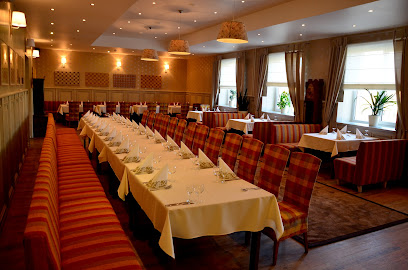
5 Taškai
4.0 km
Experience authentic Lithuanian cuisine at 5 Taškai in Anykščiai - a culinary gem serving fresh local dishes with warm hospitality.
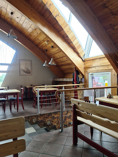
Mandri puodai
4.1 km
Experience authentic Lithuanian cuisine at Mandri puodai in Anykščiai - A gastropub offering local flavors in a cozy atmosphere.
Roko Virtuvė
4.2 km
Discover authentic Lithuanian cuisine at Roko Virtuvė in Anykščiai – where local flavors meet warm hospitality.
MITAI
4.4 km
Savor traditional Lithuanian cuisine at MITAI in Anykščiai - where local flavors meet warm hospitality.
Kavinė-Motelis „Arklių pašto stotis“
14.2 km
Discover authentic Lithuanian flavors at Kavinė-Motelis „Arklių pašto stotis“, where cozy ambiance meets culinary excellence.
Red Brick
22.0 km
Discover the taste of Lithuania at Red Brick – where tradition meets flavor in Radiškis.
Foodstop
28.2 km
Discover delicious fast food delights at Foodstop in Utena – where flavor meets convenience in every bite.
S. Vaiginio imone
28.3 km
Experience authentic Lithuanian cuisine at S. Vaiginio Imone in Utena – where tradition meets taste in a cozy setting.
Visi, kavine
28.3 km
Discover authentic Lithuanian flavors at Visi, Kavine in Utena – a must-visit for food lovers exploring the heart of Lithuania.
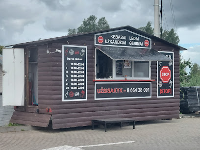
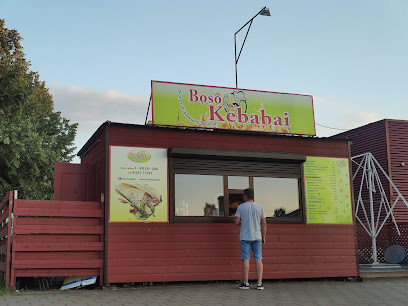
BOSS kebabai
28.5 km
Discover authentic flavors at BOSS kebabai in Utena - your go-to spot for delicious and freshly prepared kebabs.
Hesburger
29.2 km
Discover affordable fast food delights at Hesburger in Utena – where local flavors meet global favorites.
Charlie Pizza picerija
29.2 km
Discover the rich flavors of Lithuania at Charlie Pizza Picerija in Utena – where every slice tells a story.
Food Lab
29.2 km
Discover Food Lab in Utena: A delightful restaurant offering innovative cuisine blending local flavors with modern culinary artistry.
Burgundija
29.4 km
Experience authentic Lithuanian cuisine at Burgundija in Utena – where tradition meets taste in every dish.
Pilypo virtuvėlė
29.4 km
Experience authentic Lithuanian flavors at Pilypo Virtuvėlė - where fast food meets tradition in Utena.
Markets, malls and hidden boutiques
Pušynas KOOPS
3.1 km
Experience the authentic taste of Lithuania at Pušynas KOOPS, a local grocery store in Anykščiai offering fresh produce and delicious local delicacies.

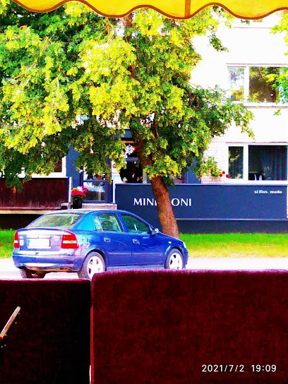
Mindroni
3.5 km
Discover Mindroni, the perfect clothing store in Anykščiai, blending local culture with modern fashion to enhance your travel experience.
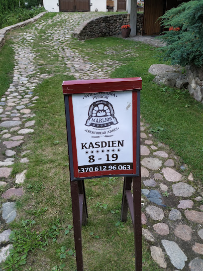
Marijos Duona - Home Baked Bread
3.6 km
Experience the authentic taste of Lithuania at Marijos Duona in Anykščiai, where home-baked bread meets local charm.
Parduotuve nr. 7, Jara Jums
3.7 km
Explore the authentic flavors of Lithuania at Parduotuve nr. 7, Jara Jums - a grocery store filled with local delights in Anykščiai.
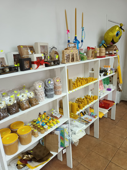
Bitininkystės parduotuvė Anykščiuose
3.8 km
Discover the rich flavors of Lithuanian honey at Bitininkystės parduotuvė in Anykščiai, a treasure trove for honey lovers and local crafts.
Pepco
3.8 km
Explore Pepco in Anykščiai for trendy clothing and exciting toys that capture the essence of Lithuania's unique shopping experience.

Starlike.lt
3.9 km
Discover unique fashion at Starlike.lt in Anykščiai, where contemporary styles meet Lithuanian culture for an unforgettable shopping experience.
Vido prekyba
3.9 km
Explore the charm of Vido Prekyba in Anykščiai, where local crafts and unique souvenirs await to enrich your travel experience.
KOOPS
3.9 km
Experience the vibrant local culture and flavors at KOOPS, the must-visit grocery store in Anykščiai, Lithuania.
Dovanų alėja
4.0 km
Explore Dovanų alėja, a delightful gift shop in Anykščiai, offering unique handcrafted souvenirs and a glimpse into Lithuanian culture.
TIKRAutuvėlė
4.0 km
Explore TIKRAutuvėlė in Anykščiai, where local craftsmanship meets unique boutique shopping for an unforgettable experience.
Jolės gėlių krautuvėlė
4.1 km
Explore the vibrant world of flowers at Jolės gėlių krautuvėlė, a must-visit florist in Anykščiai offering stunning bouquets and unique floral arrangements.

Vynoteka
4.1 km
Explore Vynoteka in Anykščiai for a curated selection of wines, craft beers, and gourmet groceries, perfect for every palate and occasion.
Norfa XXL Make Norfos XXXL
4.1 km
Experience the best of Lithuanian flavors at Norfa XXL in Anykščiai, your go-to grocery store for local and international products.
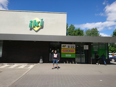
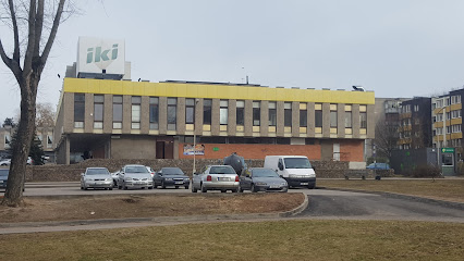
IKI - ŠILELIS
4.1 km
Discover the vibrant flavors of Lithuania at IKI - ŠILELIS, Anykščiai's premier grocery store featuring fresh produce and local delicacies.
Essential bars & hidden hideouts
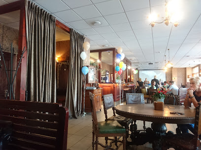
„Nykščio namai” restoranas
3.4 km
Discover authentic Lithuanian flavors in a warm and inviting setting at „Nykščio namai”, a must-visit restaurant in Anykščiai.
Giedjora, UAB
3.6 km
Savor the fast food delights at Giedjora, UAB in Anykščiai, where quick service meets delicious flavors for every traveler.
Restoranas MIŠKE
3.7 km
Discover the flavors of Lithuania at Restoranas MIŠKE, a delightful restaurant in Anykščiai, offering local cuisine in a welcoming atmosphere.
SALEVI Anykščiai
4.0 km
Experience the authentic flavors of Lithuania at SALEVI Anykščiai, where traditional cuisine meets modern charm in a cozy setting.
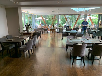
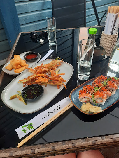
Naha Sushi & Asian Fusion
4.1 km
Experience the best of Asian cuisine at Naha Sushi & Asian Fusion in Anykščiai, where fresh ingredients meet culinary creativity for an unforgettable meal.
Seklyčia Euro Pub
4.1 km
Discover the inviting atmosphere and delicious local cuisine at Seklyčia Euro Pub, your perfect dining spot in Anykščiai, Lithuania.
Sporto baras
4.2 km
Experience the thrill of sports at Sporto Baras in Anykščiai - the ultimate destination for fans and food lovers alike.
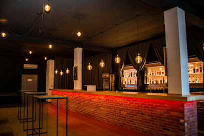
INDUSTRIJA
4.2 km
Discover INDUSTRIJA, the lively bar in Anykščiai, offering a delightful mix of drinks, delicious food, and vibrant nightlife for all visitors.
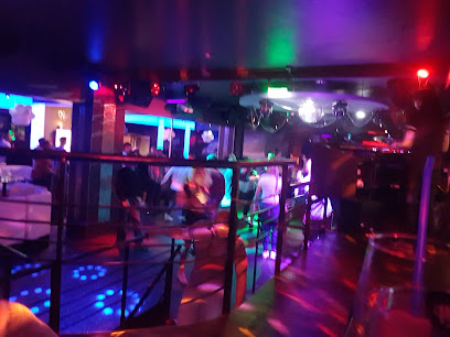
Valhalla baras
4.2 km
Experience the vibrant atmosphere and delightful drinks at Valhalla Baras, the heart of nightlife in Anykščiai, Lithuania.
Pirmas daigas
4.3 km
Discover the best of Lithuanian cuisine at Pirmas Daigas in Anykščiai, where every meal is a celebration of local flavors and hospitality.
Pasagėlė
4.7 km
Discover Pasagėlė, a charming bar in Anykščiai offering local drinks and a cozy atmosphere perfect for unwinding after exploring the beautiful Lithuanian countryside.
žuvinė
4.9 km
Experience the authentic flavors of Lithuania at žuvinė, a charming restaurant in Anykščiai offering traditional dishes in a cozy atmosphere.
Vieša
27.3 km
Discover serene hospitality in Atkočiškės at Vieša Hotel, your perfect retreat in the Utena District.
Verslas Utenoje
28.0 km
Discover the cozy charm of Verslas Utenoje, a must-visit bar in Utena, Lithuania, offering a delightful selection of local beverages in a warm atmosphere.
Visis
28.3 km
Experience the essence of Utena at Visis, a cozy coffee shop offering delightful brews and a welcoming atmosphere for all visitors.
Nightclubs & after hour spots
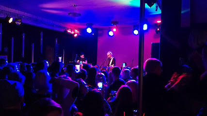
Anyksciu Rotary klubas
3.7 km
Experience the vibrant nightlife of Anyksciu Rotary Klubas in Anykščiai, where local culture meets lively entertainment for an unforgettable evening.
Anyksciai SPA Vilnius
3.8 km
Discover ultimate relaxation at Anyksciai SPA Vilnius, featuring luxurious accommodations, a rejuvenating spa, and exquisite dining in picturesque Lithuania.
Kerava Beach
48.4 km
Experience the vibrant nightlife at Kerava Beach, Panevėžys' premier night club, where music and culture come alive.
GG Sound Studija
55.0 km
Discover the electrifying nightlife at GG Sound Studija, Panevėžys' premier night club, where unforgettable experiences await every visitor.
Taurus Loft
55.0 km
Experience the vibrant nightlife of Panevėžys at Taurus Loft, where music meets energy in an unforgettable atmosphere.
Sokiu oaze
55.2 km
Discover the electrifying nightlife of Sokiu Oaze in Panevėžys, a premier night club offering dance classes and unforgettable evenings filled with music.
Rūtos sodyba
55.3 km
Experience the vibrant nightlife of Rūtos Sodyba in Zarasai, Lithuania, where music, dance, and community come together for unforgettable evenings.
Skrydis 28
55.4 km
Experience the vibrant nightlife of Panevėžys at Skrydis 28, where music, dance, and fun collide in an unforgettable disco atmosphere.

Desperado
56.5 km
Experience elegance and sophistication at Desperado, Panevėžys' premier event venue for weddings and celebrations.
Club Naktinis Tbilisis
56.6 km
Experience the vibrant nightlife of Panevėžys at Club Naktinis Tbilisis, where music and dance come alive in a captivating atmosphere.
Naktinis klubas 30
57.7 km
Discover the electrifying nightlife at Naktinis Klubas 30, a premier night club in Panevėžys, offering unforgettable music and vibrant atmosphere.
Naktinis klubas Nendrė (ABC Termo)
67.1 km
Discover the vibrant nightlife at Naktinis klubas Nendrė, Ignalina's premier destination for unforgettable parties and electrifying music.
Bonus Dance Club
71.2 km
Experience the vibrant nightlife and dance culture at Bonus Dance Club in Jonava, where every night is a celebration of rhythm and joy.
Kajaus burgerai
71.4 km
Discover the dynamic nightlife and delicious gourmet burgers at Kajaus Burgerai in Jonava, Lithuania.
Naktinis klubas "TOXIC"
72.5 km
Unleash your inner party animal at Naktinis klubas TOXIC, Jonava's premier night club, where unforgettable nights await.