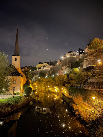
Discover the Serenity of Route W2: A Hiking Haven
Explore the breathtaking trails of Route W2 in Waldbillig, Luxembourg, where nature's beauty meets outdoor adventure in scenic hiking experiences.
Route W2 is a picturesque hiking area nestled in the heart of Waldbillig, Luxembourg. This idyllic location offers breathtaking natural landscapes, lush forests, and well-marked trails perfect for outdoor enthusiasts. Whether you are seeking a leisurely stroll or a challenging hike, Route W2 caters to all skill levels, making it an ideal destination for nature lovers and tourists alike.
A brief summary to Route W2
- Waldbillig, Mullerthal, LU
Local tips
- Wear comfortable hiking shoes and dress in layers to adapt to changing weather conditions.
- Carry plenty of water and snacks, as there are limited facilities along the trails.
- Start your hike early in the day to avoid crowds and enjoy a quieter experience.
- Consider bringing a camera to capture the stunning landscapes and unique rock formations.
- Check local maps or apps for trail updates to ensure you’re on the best routes available.
Getting There
-
Car
If you are driving from the center of Mullerthal, head northeast on Route de l'Ernz towards Rue de l'Ernz. Continue straight onto Rue de l'Ernz, which will eventually become Route de Waldbillig. After about 4 km, you will reach the area of Waldbillig. Look for signs indicating Route W2, which should be well-marked as it's a popular hiking route. There is parking available near the trailhead. Keep in mind that parking may have a small fee, typically around €2 for the day.
-
Public Transportation
To reach Route W2 using public transportation, start by taking a bus from Mullerthal to Waldbillig. Check the local bus schedule for the most accurate times; buses typically run every hour. Once you arrive in Waldbillig, disembark at the Waldbillig stop. From the bus stop, walk approximately 1 km towards the hiking trail entrance, following local signs for Route W2. The walk should take around 15 minutes. Ensure you have a small change ready for the bus fare, usually around €2-€3.
Discover more about Route W2
Iconic landmarks you can’t miss
Mullerthal
0.2 km
Explore the stunning rock formations and lush trails of Mullerthal, Luxembourg's hidden gem for hiking and natural beauty.
Medieval Castle Beaufort
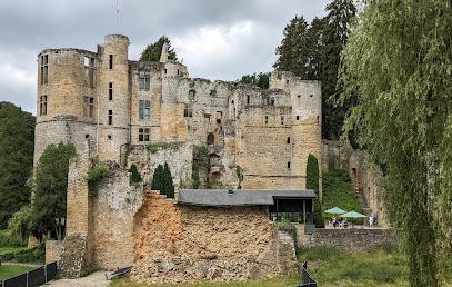
4.9 km
Discover the medieval charm and historical significance of Medieval Castle Beaufort, a captivating landmark in the heart of Luxembourg’s stunning landscape.
Unmissable attractions to see
Parkeren bij Müllerthal
0.1 km
Discover the breathtaking landscapes and unique rock formations of Müllerthal, Luxembourg's Little Switzerland, perfect for outdoor enthusiasts and nature lovers.
Mullerthal Trail Route 2
0.2 km
Experience the breathtaking beauty of Mullerthal Trail Route 2, a hiking paradise in Luxembourg, featuring stunning landscapes and unique rock formations.
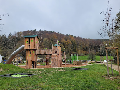
Tourentipp Auto-Pédestre Mullerthal-Consdorf
0.2 km
Discover Mullerthal-Consdorf, a hiker's haven filled with breathtaking landscapes and unique rock formations in Luxembourg's Little Switzerland.
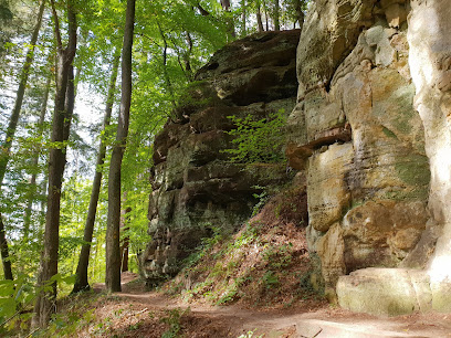
Kleine Luxemburger Schweiz
0.2 km
Discover the scenic beauty of Kleine Luxemburger Schweiz, a hiker's paradise in Luxembourg's Mullerthal region with stunning landscapes and unique rock formations.
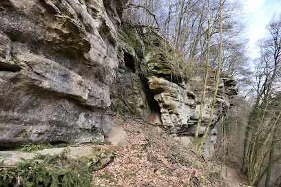
Touristcenter Heringer Millen
0.2 km
Explore the breathtaking Mullerthal region at Touristcenter Heringer Millen, your go-to spot for local insights and adventure planning in Luxembourg.
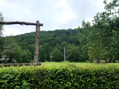
Lokale wandelroute - W7
0.2 km
Explore the breathtaking landscapes of Lokale Wandelroute - W7, a top hiking destination in Mullerthal, Luxembourg, perfect for nature lovers.
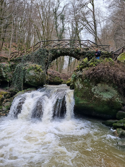
Heringerburg Ruine
0.3 km
Discover the mystical Heringerburg Ruine in the scenic Mullerthal region of Luxembourg, where history and nature intertwine for an unforgettable experience.
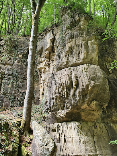
Kleiner Wasserfall
0.3 km
Explore the serene Kleiner Wasserfall in the heart of Luxembourg's Mullerthal region, where nature's beauty captivates every visitor.
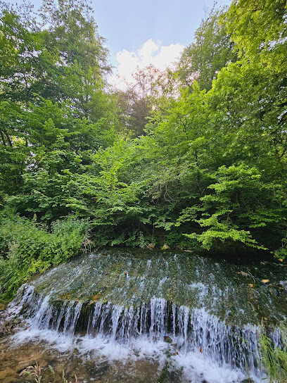
Mullerthal Trail
0.3 km
Explore the scenic Mullerthal Trail, a hiker's dream in Luxembourg with stunning landscapes, unique rock formations, and serene nature.
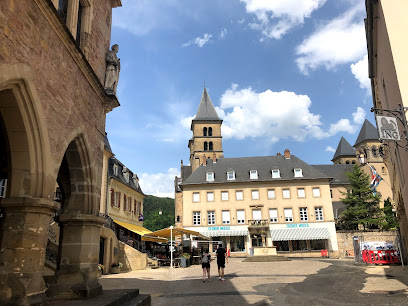
Pafiljoen
0.4 km
Explore the breathtaking hiking trails and stunning rock formations of Pafiljoen in Luxembourg's picturesque Mullerthal region.
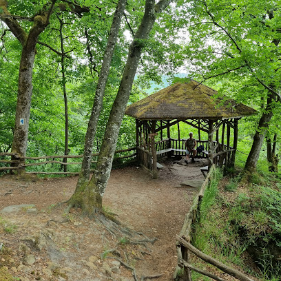
Eulenburg
0.5 km
Discover Eulenburg, a serene tourist attraction in Consdorf, Luxembourg, where nature meets history in a stunning landscape.
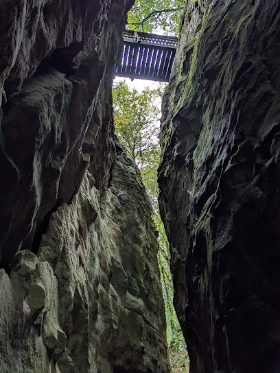
Sight seeing rock
0.5 km
Experience the breathtaking beauty of Sight Seeing Rock in Consdorf, a hiking paradise with captivating views and serene nature trails.
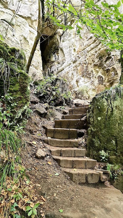
Rock with great view
0.5 km
Explore the iconic rock formations of Consdorf, where breathtaking views and serene hiking trails await every nature enthusiast.
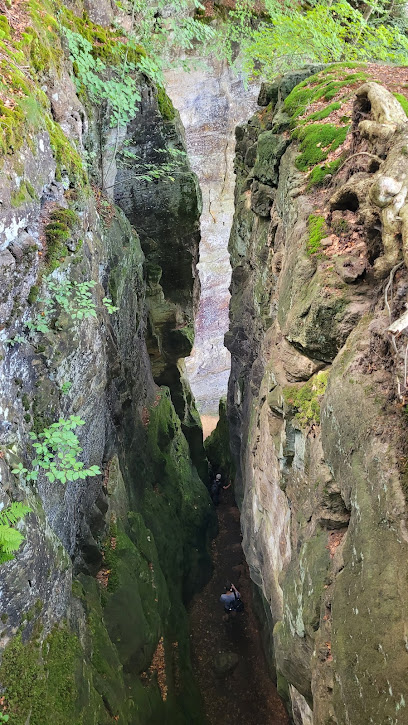
Der verkehrte Fuß
0.6 km
Discover the enchanting beauty of Der verkehrte Fuß in Consdorf, a hidden gem perfect for nature lovers and cultural explorers alike.
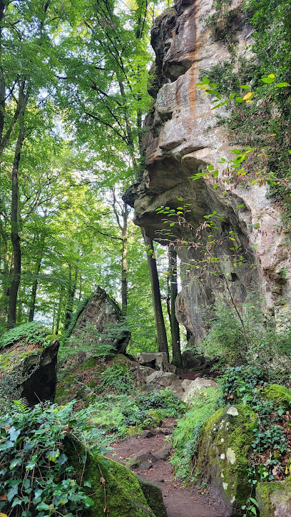
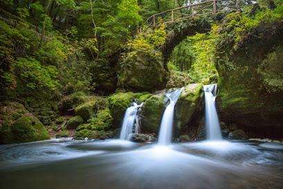
Schiessentümpel Waterfall
0.8 km
Experience the breathtaking beauty of Schiessentümpel Waterfall, a natural gem in Luxembourg's enchanting Mullerthal region, perfect for nature lovers and adventurers.
Essential places to dine
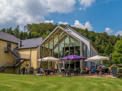
Brasserie Heringer Millen
0.2 km
Experience the best of Luxembourg's culinary scene at Brasserie Heringer Millen – where local flavors meet warm hospitality.
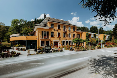
Hôtel-Restaurant Le Cigalon
0.2 km
Experience comfort and culinary delights at Hôtel-Restaurant Le Cigalon in beautiful Mullerthal.
Konsdreffer Millen
1.8 km
Discover Konsdreffer Millen in Consdorf – where delightful cuisine meets stunning natural beauty along the C2 trail.
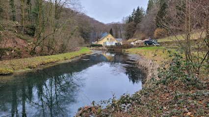
Brasserie Op Buergkapp
2.2 km
Discover delightful local and international cuisine at Brasserie Op Buergkapp in Consdorf - a must-visit dining destination for every traveler.
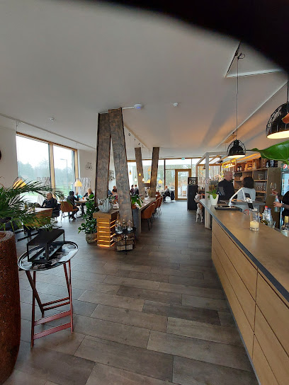
Daisy Scheidgen
3.6 km
Discover authentic Luxembourgish cuisine at Daisy Scheidgen—where delightful flavors meet warm hospitality in picturesque surroundings.
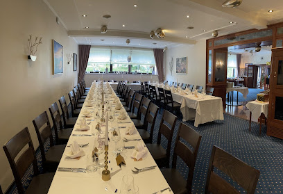
Hotel Bon Repos & Restaurant Le Grill
4.1 km
Discover comfort and culinary excellence at Hotel Bon Repos & Restaurant Le Grill in scenic Consdorf.
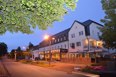
RESTAURANT GRILL
4.1 km
Discover the flavors of Luxembourg at Restaurant Grill in Consdorf – where exceptional grilled dishes meet warm hospitality.
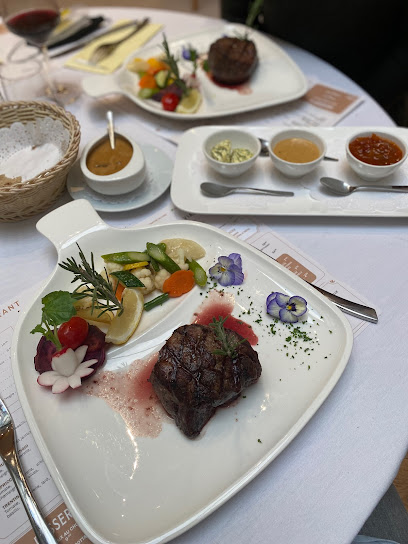
Trail-Inn Natur & Sporthotel
4.6 km
Experience adventure and comfort at Trail-Inn Natur & Sporthotel – your gateway to Luxembourg's stunning hiking trails.

Hôtel - Restaurant Kinnen Sàrl
4.6 km
Experience exceptional hospitality and gourmet dining at Hôtel - Restaurant Kinnen in Berdorf, Luxembourg's hidden gem.
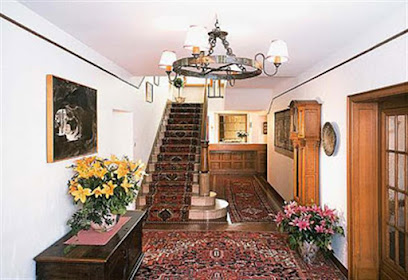
Bistro Martbusch
4.7 km
Experience authentic Luxembourgish cuisine at Bistro Martbusch in Berdorf - where local flavors meet warm hospitality.
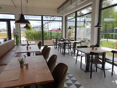
Victoria vum Berdorfer Eck
5.0 km
Experience exquisite French-style cuisine at Victoria vum Berdorfer Eck, where every dish tells a story of flavor and passion in the heart of Berdorf.
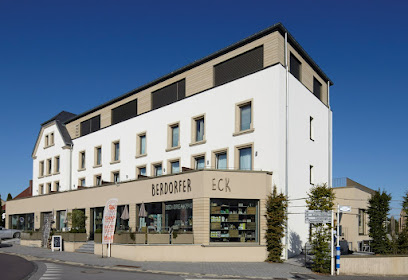
ReilanderMillen
5.1 km
Experience the essence of Luxembourgish cuisine at ReilanderMillen in Heffingen – where every meal is a celebration of local flavors.
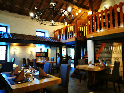
Hotel Brimer
5.2 km
Discover unparalleled comfort at Hotel Brimer in Berdorf - your perfect getaway with indoor pool and sauna amidst nature's beauty.

Brasserie Beim Adelheid
5.7 km
Discover Brasserie Beim Adelheid: A culinary gem in Beaufort offering delicious local cuisine and fresh brews in a cozy atmosphere.
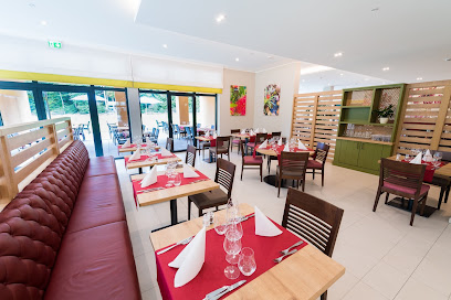
Fischer
5.9 km
Discover Fischer Bakery in Echternach – indulge in fresh pastries, delightful desserts, and local flavors that will satisfy every craving.

Markets, malls and hidden boutiques
Difrulux - Distillerie Luxembourg
1.5 km
Explore the craftsmanship of Luxembourg's spirits at Difrulux Distillery, where tradition meets flavor in a delightful setting.
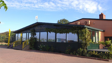
Haus Nummer 1
1.6 km
Explore the exquisite wines of Luxembourg at Haus Nummer 1, where local selections meet expert advice in a charming setting.
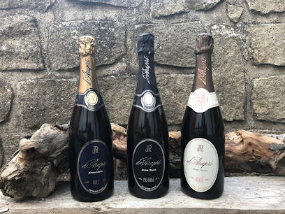
Auto Klaus
1.6 km
Explore Auto Klaus in Consdorf for top-notch vehicles, inspections, and repairs, ensuring you travel safely through Luxembourg's beautiful landscapes.

Indiwa Sàrl
2.6 km
Explore exquisite craftsmanship at Indiwa Sàrl, your go-to destination for bespoke furniture and cabinetry in beautiful Consdorf, Luxembourg.
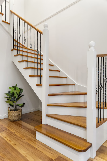
AllPharma
2.6 km
Discover a world of health and beauty at AllPharma in Consdorf, where wellness meets indulgence amidst the scenic landscapes of Luxembourg.
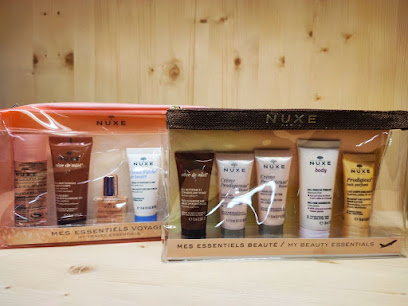
Boulangerie-Pâtisserie Jeitz Sàrl
2.7 km
Indulge in the best of Luxembourg's baking traditions at Boulangerie-Pâtisserie Jeitz Sàrl in Consdorf, where every bite tells a story.
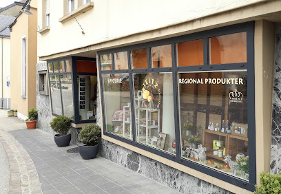
AminVital
2.7 km
Discover health and wellness at AminVital, the premier health food store in Chrëschtnech Waldbëlleg, offering expert nutrition advice and personal training.

Konsdrëfer Floukäpp Asbl Asbl
3.0 km
Explore Konsdrëfer Floukäpp Asbl: A Unique Antique Store in Consdorf, Luxembourg, Offering Vintage Treasures and a Slice of History.
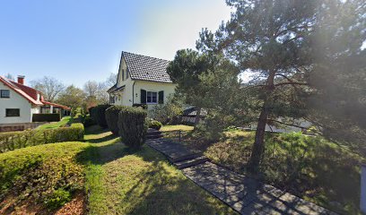
Brands Jos.
3.1 km
Explore the unique blend of a telephone exchange and clothing store at Brands Jos. in the charming village of Consdorf, Luxembourg.
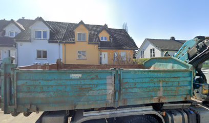
Gudde Kascht - La Bottega
3.4 km
Explore the gourmet delights of Gudde Kascht - La Bottega in Haller Waldbillig, a treasure trove of local flavors and artisanal products.
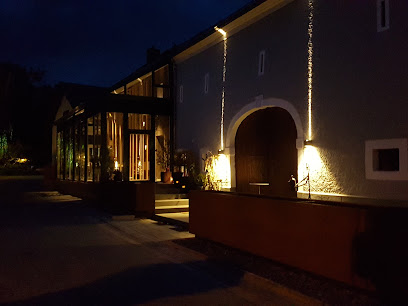
Fromagerie Schmalen
4.6 km
Discover the heart of Luxembourg's dairy tradition at Fromagerie Schmalen, where artisanal cheeses come alive with flavor and heritage.
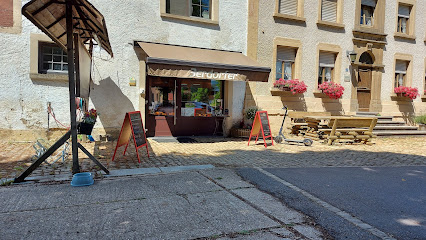
Restaurant-Hôtel Au Vieux Moulin
6.0 km
Discover the charm of Restaurant-Hôtel Au Vieux Moulin in Echternach, where comfort meets exquisite cuisine amidst breathtaking natural beauty.
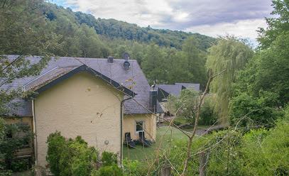
Moulin Dieschbourg J.P. Sàrl
6.7 km
Discover the rich flavors and aromas of artisanal coffee at Moulin Dieschbourg, Echternach's premier coffee roaster.
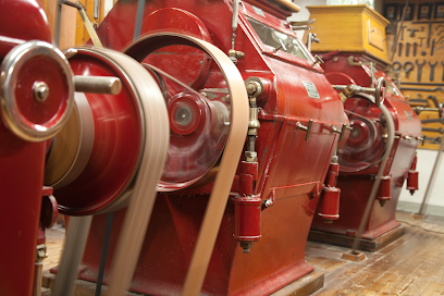
OLYMP&HADES
7.2 km
Explore the unique fashion offerings at OLYMP&HADES, a stylish clothing store in Echternach, blending quality with local charm.

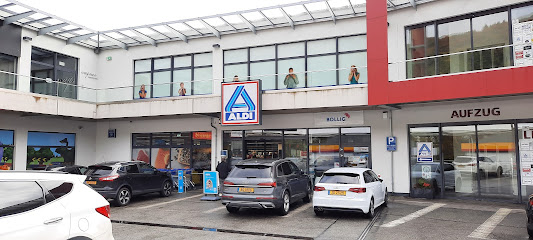
ALDI Echternach
7.2 km
Explore Echternach's culinary treasures at ALDI, offering fresh produce, local products, and international snacks at unbeatable prices.
Essential bars & hidden hideouts
MuppenTrupp Sàrl Sàrl
2.6 km
Experience the vibrant atmosphere of MuppenTrupp Sàrl, a charming bar in Consdorf, offering local drinks and a welcoming space for all.
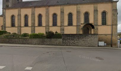
Cafe de la Poste
2.6 km
Discover the charm of Café de la Poste, where cozy ambiance meets delightful local drinks in the heart of Consdorf, Luxembourg.
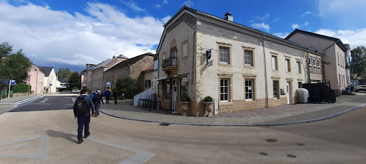
Café Central
5.0 km
Discover the charm of Café Central in Beaufort, where local flavors and a cozy atmosphere unite for an unforgettable dining experience.
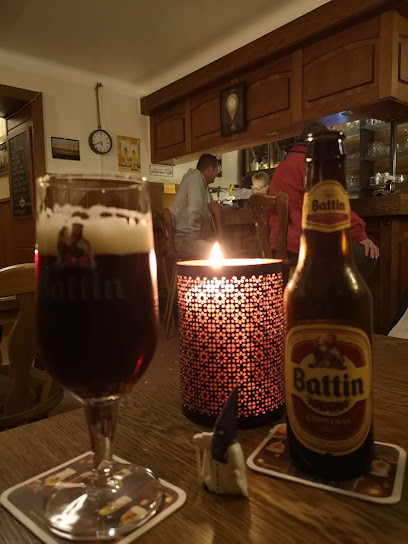
Café du Chateau
6.3 km
Discover the charm of Café du Chateau in Larochette, where local flavors and warm hospitality create an unforgettable dining experience.
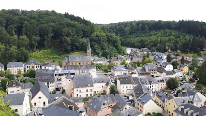
Neckel Tapas Bar
6.4 km
Experience authentic Spanish tapas in the heart of Larochette at Neckel Tapas Bar, where flavors and ambiance come together beautifully.
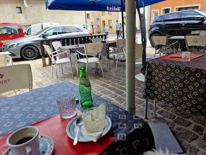
Am Sportslokal
6.8 km
Discover the vibrant flavors of Am Sportslokal in Vallée de l'Ernz, where Portuguese cuisine meets hearty brasserie classics in a cozy, family-friendly setting.
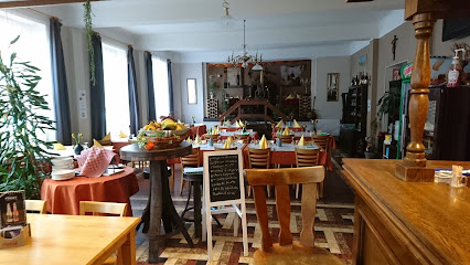
Lilien
7.7 km
Discover the charming Lilien bar in Rosport-Mompach, where quality drinks and a cozy atmosphere await every traveler.
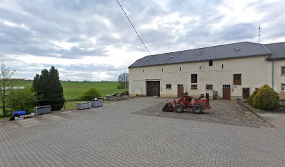
Mausfaal
7.8 km
Discover the charm of Mausfaal, a cozy bar in Vallée de l'Ernz, offering local drinks and a warm atmosphere for tourists.
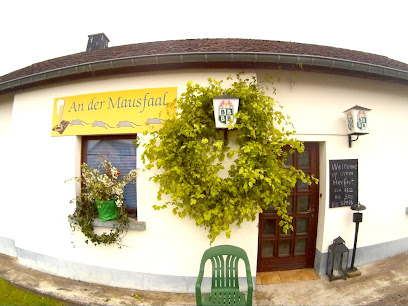
Bistro Beim Wëllefchen
8.0 km
Discover the charm of Bistro Beim Wëllefchen, a cozy bar in Echternach, perfect for unwinding with local drinks and enjoying a friendly atmosphere.
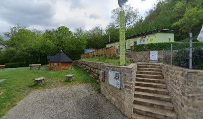
Café-Bar Windsurf
8.4 km
Discover the charm of Café-Bar Windsurf in Echternach, a perfect spot for drinks, bites, and mingling with locals and travelers.
Café beim Cyrille
8.4 km
Discover the charm of Café beim Cyrille, a delightful bar and café in Echternach, perfect for a relaxing break and local flavors.
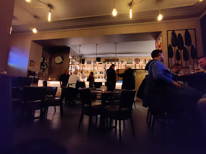
Taverne la Palette
8.5 km
Discover Taverne la Palette, a cozy bar in Echternach offering local drinks and a taste of Luxembourgish hospitality in a charming atmosphere.
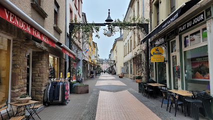
Mistral Wine Bar
8.5 km
Discover the essence of fine wines at Mistral Wine Bar in Echternach, where every glass tells a story.

Diekricher Stuff
8.5 km
Discover the heart of Echternach at Diekricher Stuff, a charming brewery offering local brews, delicious food, and a family-friendly atmosphere.
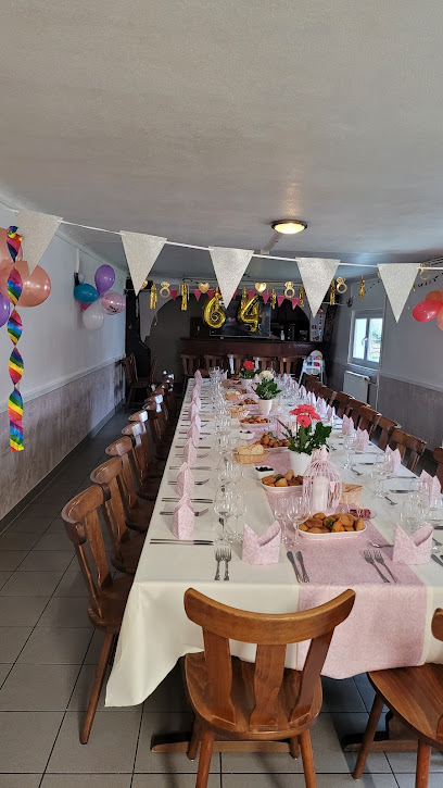
Cafe Um Moart
8.5 km
Discover the cozy charm of Cafe Um Moart in Echternach, a perfect pub for unwinding with delicious drinks and light fare.
Nightclubs & after hour spots
Flying Dutchman
5.0 km
Discover the dynamic nightlife at Flying Dutchman, Beaufort's premier night club, where music, dancing, and fun come together for an unforgettable experience.
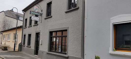
Daring Club Echternach
8.1 km
Experience the passion of soccer at Daring Club Echternach, the heart of local sports culture in Luxembourg's picturesque town.
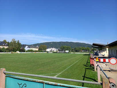
Discoteam Sigma 7
13.5 km
Discover the electrifying nightlife at Discoteam Sigma 7, a premier DJ service in Diekirch, where unforgettable music and vibrant energy await.
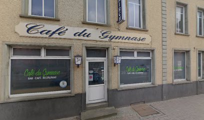
Vintage Bar Beim Cyrille
13.7 km
Discover the cozy ambiance and delightful drinks at Vintage Bar Beim Cyrille, a charming bar that embodies the spirit of Diekirch.
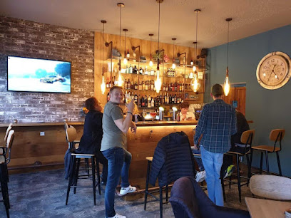
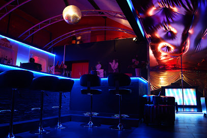
Diamond Club
14.3 km
Discover the lively nightlife at Diamond Club, Ingeldorf's premier cabaret club with captivating performances and an electrifying atmosphere.
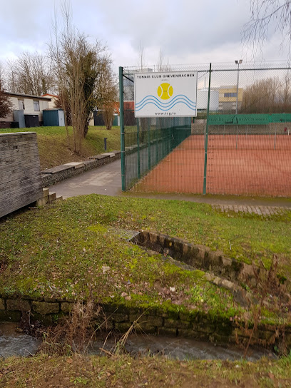
Tennis Club Grevenmacher
15.9 km
Experience the thrill of tennis in a picturesque setting at Tennis Club Grevenmacher, a perfect place for players of all levels.
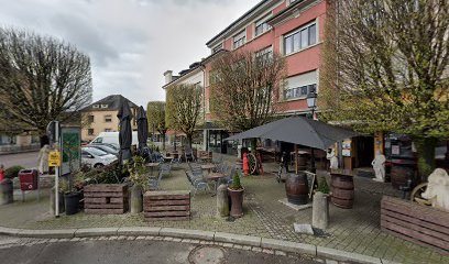
Maximus Lounge Sàrl
16.0 km
Discover Maximus Lounge Sàrl: a perfect blend of bar, café, and restaurant in the heart of Grevenmacher, inviting you to relax and indulge in local flavors.
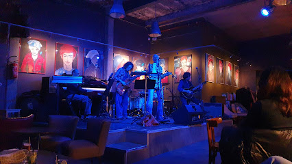
Ancien Cinéma Café Club
17.3 km
Discover the unique blend of history and flavor at Ancien Cinéma Café Club in Vianden, Luxembourg, where every meal tells a story.
Auberge Aal Veinen Beim Hunn
17.5 km
Discover the perfect blend of culinary delights and cozy accommodations at Auberge Aal Veinen Beim Hunn in Vianden, Luxembourg.
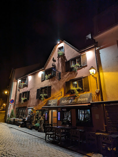
Youth Hostel
17.7 km
Discover the charm of Vianden from the Youth Hostel, your affordable base for exploring Luxembourg's breathtaking landscapes and rich history.

Vantage
20.9 km
Experience the pulse of Luxembourg's nightlife at Vantage, a premier live music bar with unforgettable performances and a lively atmosphere.
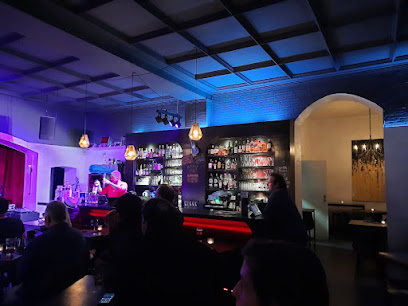
The 33 - Lounge Bar
21.0 km
Discover the elegance of The 33 - Lounge Bar in Kirchberg, Luxembourg, where sophisticated cocktails and a serene atmosphere await you.
Marokko Scheier
21.8 km
Discover the exhilarating nightlife at Marokko Scheier, a vibrant night club in Bourscheid, Luxembourg, where unforgettable moments await.
SILK
22.3 km
SILK in Luxembourg: A captivating night club experience with electrifying music and vibrant atmosphere perfect for your nightlife adventure.
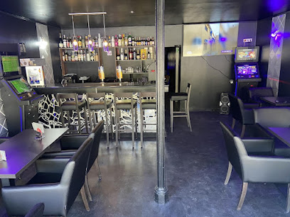
The Britannia Pub
22.9 km
Experience the vibrant atmosphere of The Britannia Pub in Luxembourg's Clausen district, where sports, drinks, and camaraderie come together.
