Nyika Plateau · Travel guide · Updated 2026

Nyika Plateau: Malawi's Hidden Highland Gem

Discover the Nyika Plateau, Malawi's largest national park, featuring cool highland climates, diverse wildlife, and stunning landscapes perfect for hiking and birdwatching.

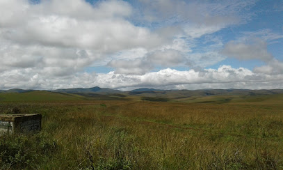
The Nyika Plateau, a sprawling highland region in northern Malawi, is a breathtaking destination for any nature lover. Covering 3,200 square kilometers, its rolling grasslands, rich forests, and sweeping valleys create a unique landscape that is both dramatic and serene. The plateau's elevation, ranging from 1,800 to 2,600 meters, ensures a cool climate year-round, making it an ideal retreat from Malawi's lowland heat. 
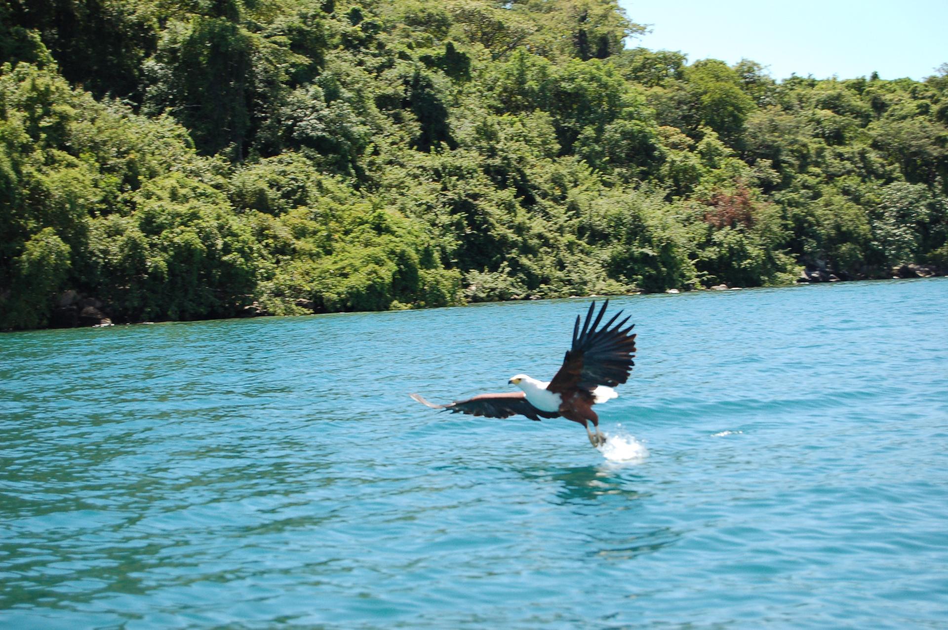
The Nyika National Park, located within the plateau, is the largest national park in Malawi and offers a sanctuary for a diverse array of wildlife. Visitors can expect to see zebras, roan antelopes, and over 400 species of birds, making it a paradise for birdwatchers. The park is also home to leopard, hyena, and various smaller mammals. The flora is equally impressive, with rolling hills covered in wildflowers, orchids, and proteas during the rainy season, creating a stunning tapestry of colors. 
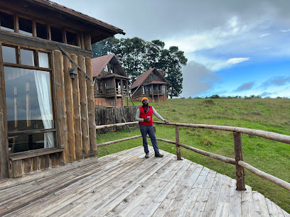
For those seeking adventure, the Nyika Plateau offers numerous hiking and biking trails that wind through its diverse landscapes. The plateau’s vast open spaces and scenic vistas provide a sense of freedom and solitude seldom found in more crowded tourist destinations. Additionally, the Chelinda Lodge and Chelinda Camp offer comfortable accommodations with panoramic views, ensuring a memorable stay. Cultural experiences are also on offer, with local guides providing insight into the traditions and lifestyles of the nearby communities. Whether you're a nature enthusiast, an avid hiker, or someone looking to immerse yourself in local culture, the Nyika Plateau is a destination that promises to captivate and inspire.

When is the best time to go to Nyika Plateau?

Weather at a glance

Use the monthly temperature and precipitation trends to compare typical conditions across the year before planning countryside walks, town visits, and heritage days.

Temperature

°C

Precipitation

mm
Warmest monthsNov–Apr
Longest daylightJan–Dec
Driest periodJun–Aug

Explore places in Nyika Plateau

    See all →

    Essential places to dine

    The dining ideas below match the food pins above, making the map and editorial recommendations work together.

    Markets, malls and hidden boutiques

    Each shopping card aligns with a mapped browsing area, from major retail streets to market-led detours.

    Essential bars & hidden hideouts

    The evening cards below match the bars layer in the map, so browsing and orientation stay connected.

    File:Lake Malawi fish eagle.jpg - Wikipedia
    Destination guide

    More about Malawi

    Discover Malawi, the Warm Heart of Africa, where pristine landscapes, diverse wildlife, and rich cultural heritage await to enchant every traveler.

    Tell me more about Malawi
    Mobile App
    Get the app

    Your all‑in‑one travel companion app

    Explore expert travel guides, compare and book tours, experiences, hotels, and more—all from the palm of your hand. Download now for seamless trip planning wherever your wanderlust takes you.

    Explore Nyika Plateau in Photos

    A quick visual route through countryside views, towns, gardens, and regional day-trip atmosphere.

    Liwonde National Park - Wikipedia
    File:Nyika National Park, Malawi (2489516573).jpg - Wikimedia Commons
    Liwonde National Park - Wikipedia
    File:Nyika National Park, Malawi (2489516573).jpg - Wikimedia Commons

    Planning another trip?

    Continue exploring nearby country regions around Nyika Plateau, from connected city edges to neighbouring counties, coastlines, and countryside escapes.

    Select Currency

    Choose the currency you want prices to display in.