
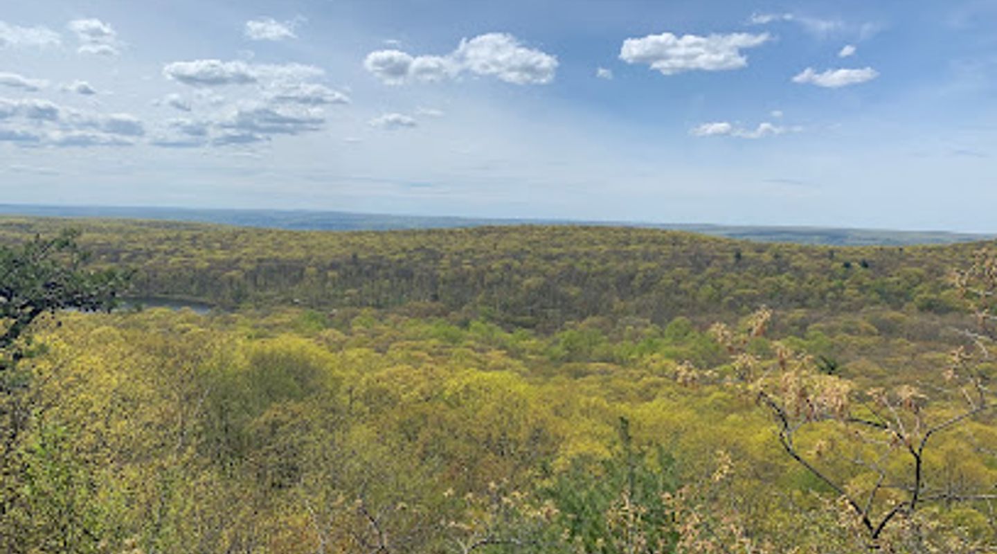
Blue Dot Trailhead, Skylands Region Travel Guide
Discover the tranquility of Blue Dot Trailhead in Sussex, NJ, where stunning trails and nature's beauty await outdoor enthusiasts.
Nestled in the picturesque landscapes of Sussex, NJ, Blue Dot Trailhead offers hiking enthusiasts a gateway to nature's beauty. With its well-marked trails and stunning views, it's an ideal spot for both seasoned hikers and families seeking outdoor adventures. Immerse yourself in the tranquility of the surrounding forests and enjoy a day of exploration amidst the great outdoors.
A brief summary to Blue Dot Trailhead
- Unnamed Road, Sussex, NJ, 07461, US

Know before you go
Hi, I'm Eve. Here are a few practical things to know before exploring Blue Dot Trailhead.
- Arrive early to enjoy the trails without the crowds and take advantage of the serene morning atmosphere.
- Wear sturdy hiking shoes as some trails may be uneven or rocky.
- Don’t forget to bring water and snacks to stay energized during your hike.
- Check the weather forecast before your visit to ensure a pleasant hiking experience.
- Consider visiting during the fall for stunning foliage and picturesque views.
Do you manage this location?
Take control to get all the benefits, like improved information, better appearance, and stronger visibility across AI-powered discovery. Learn more about listing your business on Evendo
Activate your presenceOther nearby places you may find interesting
The closest places of the same kind, if this one is not quite what you had in mind.
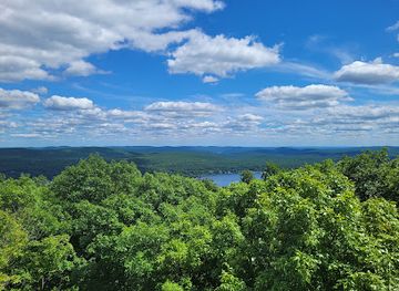
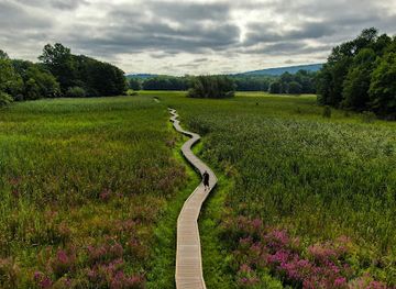
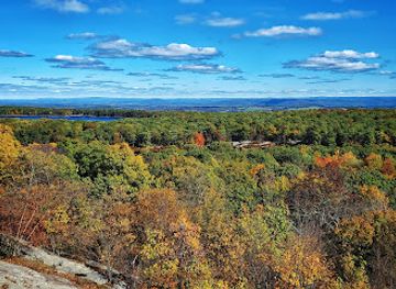
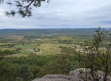
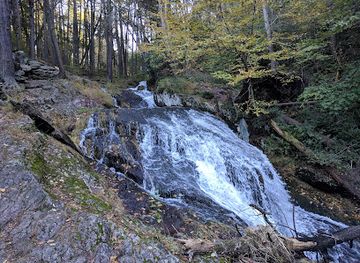
Explore Blue Dot Trailhead on the Map
A handpicked selection of must-see spots near Blue Dot Trailhead, mapped for you.
Getting There
-
Car
If you're traveling by car, start by getting onto Interstate 80 (I-80) and head towards the Sussex area. Take Exit 34 for NJ-15 N towards Jefferson. Continue on NJ-15 N for about 9 miles, then take the exit for NJ-206 N towards Branchville. Continue on NJ-206 N for approximately 5 miles until you reach the intersection with US-206 N. Turn left onto US-206 N and follow it for about 6 miles. When you reach the small town of Sussex, turn right onto Unnamed Road. Keep an eye on your GPS, as the Blue Dot Trailhead will be located along this road. Look for parking areas designated for hikers once you are on Unnamed Road. Make sure to check for any parking fees that may apply.
-
Public Transportation
If you are using public transportation, take a NJ Transit train to the nearest station, which is the 'Hamburg' station on the Montclair-Boonton Line. From there, you will need to arrange for a taxi or rideshare service to take you to the Blue Dot Trailhead, as public transportation does not directly reach this location. The taxi ride will take approximately 20-30 minutes and may cost around $30-$40. It is advisable to call ahead and confirm the availability of taxis.
-
Hiking from Nearby Locations
If you are already hiking along the Appalachian Trail and are close to the Blue Dot Trailhead, look for trail markers indicating the Blue Dot Trail. Depending on your starting location on the Appalachian Trail, it may take a couple of hours of hiking to reach the Blue Dot Trailhead. Be sure to carry enough water and snacks, as well as a map or GPS device, to navigate the trails effectively.
Discover more about Blue Dot Trailhead













Your all‑in‑one travel companion app
Explore expert travel guides, compare and book tours, experiences, hotels, and more—all from the palm of your hand. Download now for seamless trip planning wherever your wanderlust takes you.


Explore More of Skylands Region
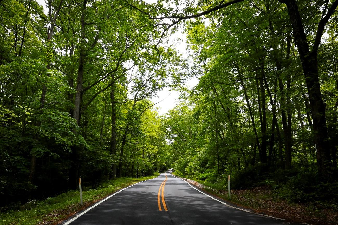
Looking beyond Blue Dot Trailhead? Discover Skylands Region for broader travel guides, local hot-spots, and regional highlights.
Explore Skylands Region
Experience the excitement of winter at Mountain Creek Snow Tubing, where thrilling snow-filled adventures await for the whole family.

Explore the breathtaking vistas and outdoor adventures at High Point State Park, where nature meets history in New Jersey's scenic landscape.
