From Eve
Know before you go
Hi, I'm Eve. Here are a few practical things to know before exploring Mugnetind.
Local know-how to help you travel smarter and make the most of every moment.
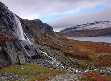
Discover the breathtaking beauty of Mugnetind, a premier hiking destination in Norway's Valdres region, where stunning views await every adventurer.
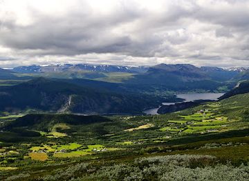
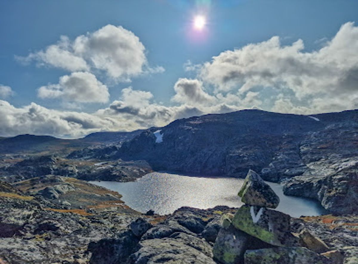
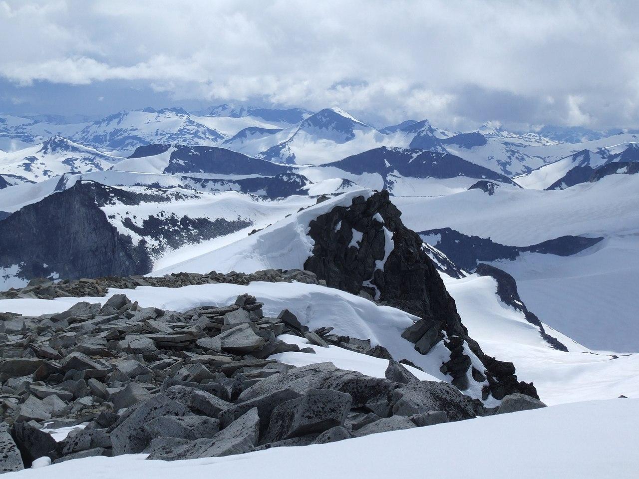
Mugnetind, located in the breathtaking Valdres region of Norway, offers an unforgettable hiking experience for outdoor enthusiasts and nature lovers alike. Ascend to its peak for panoramic views of the stunning Norwegian landscape, where mountains, lakes, and valleys intertwine beautifully. Ideal for all levels of hikers, Mugnetind promises adventure and natural beauty, making it a must-visit destination for anyone venturing into Norway's majestic wilderness.
Opening times, essentials, and a few local tips gathered into one calmer, easier-to-scan planning section.
Hi, I'm Eve. Here are a few practical things to know before exploring Mugnetind.
Local know-how to help you travel smarter and make the most of every moment.
Car
From Beitostølen, head east on Rv51 (Riksvei 51) towards Vang i Valdres. Continue for approximately 25 kilometers until you reach the junction with Fv243. Turn left onto Fv243 and follow the road for about 10 kilometers. You will see signs for Mugnetind. Park your car at the designated parking area near the base of the mountain. Note that parking may incur a fee, so be sure to check for signs regarding payment.
Public Transportation
Take the bus from Beitostølen to Vang i Valdres. The bus service may vary, so check the local schedule for updated departure times. Once you arrive at Vang, you can either take a taxi to the base of Mugnetind or walk approximately 5 kilometers to reach the start of the hiking trail. If you opt for a taxi, ensure to confirm the fare beforehand as it may vary based on the distance.
Hiking
Once you have parked your car or arrived via public transport, you will need to start your hike to Mugnetind. The trailhead is well-marked and begins at the parking area. The hike is approximately 3 kilometers one way and is considered moderately challenging. Be sure to wear appropriate hiking gear and check the weather conditions before setting out.
Use Tower Bridge as your starting point for nearby food, family ideas, nightlife, and more local discoveries.

Explore expert travel guides, compare and book tours, experiences, hotels, and more—all from the palm of your hand. Download now for seamless trip planning wherever your wanderlust takes you.
Discover Beitostølen: A Norwegian paradise for outdoor enthusiasts with year-round activities and breathtaking alpine scenery.
Tell me more about Beitostolen