
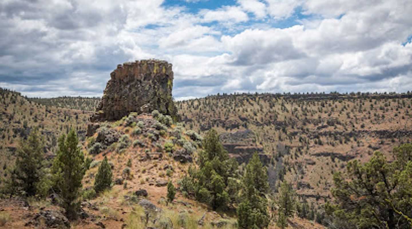
Chimney Rock Trailhead, Wheeler County Travel Guide
Explore the stunning Chimney Rock Trailhead in Prineville, Oregon, where breathtaking views and diverse wildlife await hiking enthusiasts.
Nestled in the picturesque landscape of Prineville, Oregon, Chimney Rock Trailhead offers an unforgettable hiking experience with stunning views, diverse wildlife, and a welcoming atmosphere for all outdoor enthusiasts. Whether you're looking for a challenging trek or a leisurely stroll, this location has something for everyone.
A brief summary to Chimney Rock Trailhead
- Crooked River Hwy, Prineville, Oregon, 97754, US
- Click to display
- Click to display

Know before you go
Hi, I'm Eve. Here are a few practical things to know before exploring Chimney Rock Trailhead.
Do you manage this location?
Take control to get all the benefits, like improved information, better appearance, and stronger visibility across AI-powered discovery. Learn more about listing your business on Evendo
Activate your presenceOther nearby places you may find interesting
The closest places of the same kind, if this one is not quite what you had in mind.


Explore Chimney Rock Trailhead on the Map
A handpicked selection of must-see spots near Chimney Rock Trailhead, mapped for you.
Getting There
-
Car
If you are traveling by car, the easiest way to reach Chimney Rock Trailhead is to head towards Prineville, Oregon. From Prineville, take the Crooked River Hwy (Oregon Route 27) heading northeast. Continue on this road for approximately 20 miles. You will see signs directing you to Chimney Rock Trailhead. The trailhead is located on the right side of the highway, just past the Crooked River Canyon. There is a small parking area available. Make sure to have a map or GPS device as cell service may be limited in this area.
-
Public Transportation
Public transportation options in Wheeler County are quite limited. The nearest major public transport service is in Prineville. You would need to take a local bus or shuttle service to Prineville, and from there, you would need to arrange for a taxi or ride-sharing service to take you to Chimney Rock Trailhead. Expect to pay for the taxi or ride-sharing fare, which may vary depending on the time and distance. Make sure to plan your trip ahead of time, as services may not run frequently.
-
Bicycle
For the adventurous traveler, biking to Chimney Rock Trailhead is an option. Starting from Prineville, take Crooked River Hwy (Oregon Route 27) heading northeast. The ride is approximately 20 miles and can be challenging due to traffic and elevation changes. Ensure you wear a helmet and have appropriate gear, as the road can be busy and lacks dedicated bike lanes. Bring water and snacks, as there are limited stops along the way.
-
Walking
Walking to Chimney Rock Trailhead is not recommended due to the distance from Prineville (approximately 20 miles) and the lack of pedestrian pathways along the highway. If you are determined to walk, it would be advisable to start early in the day and ensure you have adequate supplies. However, it would be safer and more practical to use a vehicle for this journey.
Discover more about Chimney Rock Trailhead













Your all‑in‑one travel companion app
Explore expert travel guides, compare and book tours, experiences, hotels, and more—all from the palm of your hand. Download now for seamless trip planning wherever your wanderlust takes you.


Explore More of Wheeler County
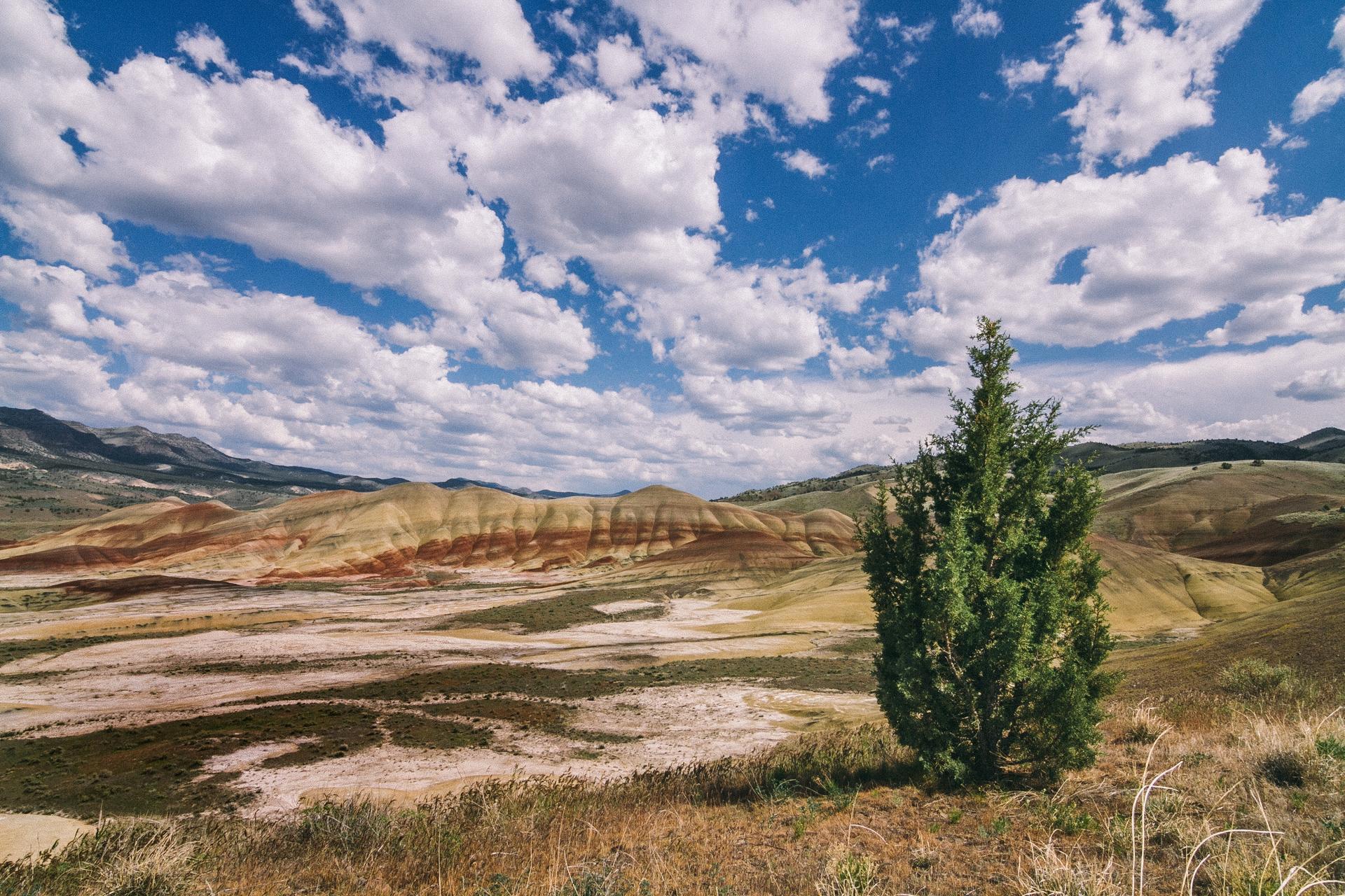
Looking beyond Chimney Rock Trailhead? Discover Wheeler County for broader travel guides, local hot-spots, and regional highlights.
Explore Wheeler County
Immerse yourself in the excitement and tradition of the Crooked River Roundup Rodeo, a cultural highlight in Prineville, Oregon, showcasing thrilling competitions and community spirit.
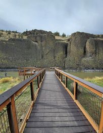
Experience the natural beauty and tranquility of Chimney Rock Campground, a perfect getaway for camping, hiking, fishing, and reconnecting with nature.
