Discover the Historic Geodetic Pillar in Solina
Explore the historic geodetic pillar in Solina, a unique tourist attraction set against stunning natural landscapes in Poland.
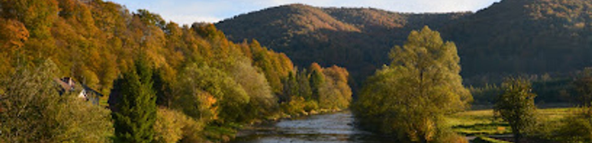
The Zabytkowy słupek geodezyjny is a fascinating tourist attraction located in Solina, Poland. This unique geodetic pillar offers visitors a glimpse into the region's surveying history and stunning natural surroundings, making it a perfect stop for history enthusiasts and nature lovers alike.
A brief summary to Zabytkowy słupek geodezyjny
- Solina, PL
- Visit website
- Monday 12 am-12 am
- Tuesday 12 am-12 am
- Wednesday 12 am-12 am
- Thursday 12 am-12 am
- Friday 12 am-12 am
- Saturday 12 am-12 am
- Sunday 12 am-12 am
Local tips
- Visit during early morning or late afternoon for the best lighting for photographs.
- Combine your visit with a trip to the nearby Solina dam for a day filled with scenic views.
- Bring a picnic to enjoy in the surrounding nature after visiting the pillar.
- Wear comfortable shoes, as the terrain may vary around the pillar.
- Check local weather conditions before your visit, as it can influence visibility.
Getting There
-
Car
If you're traveling by car, start from the town of Solina. Head southwest on the main road (DK84) towards Bieszczady National Park. After approximately 2 kilometers, turn onto the local road leading towards the village of Terka. Follow the signs for 'Zabytkowy słupek geodezyjny'. The site is located about 5 kilometers from the intersection. You will find parking available nearby, but be mindful of any signage regarding parking restrictions.
-
Public Transportation
For those using public transportation, take a bus from Sanok to Solina. The journey takes around 1 hour. Once in Solina, you can catch a local minibus or taxi to Terka. The cost of the minibus is approximately 10-15 PLN. Inform the driver that you want to get off at the stop for 'Zabytkowy słupek geodezyjny'. From the stop, it is a short walk (about 1 kilometer) to the site, following the signs along the path.
-
Walking
If you are in close proximity to Terka and enjoy walking, you can hike from the village. Start at the center of Terka and follow the marked hiking trails. The hike is about 1.5 kilometers and offers scenic views of the surrounding mountains. Ensure you have proper footwear and check the weather conditions before setting out.


