
Discover the Heart of Poland: Geodezyjny Środek Obszaru Lądowego
Experience the geographical heart of Poland at Geodezyjny Środek Obszaru Lądowego, where nature and cultural richness blend harmoniously.
Located in the picturesque village of Goślub-Osada, the Geodezyjny Środek Obszaru Lądowego marks the geographical center of Poland, offering visitors a unique opportunity to explore the heart of the country. This tourist attraction not only boasts scenic views but also provides a glimpse into Poland's rich cultural heritage.
A brief summary to Geodezyjny środek obszaru lądowego Polski
- 4C5J+QF, Goślub-Osada, PL
- Monday 12 am-12 am
- Tuesday 12 am-12 am
- Wednesday 12 am-12 am
- Thursday 12 am-12 am
- Friday 12 am-12 am
- Saturday 12 am-12 am
- Sunday 12 am-12 am
Local tips
- Visit early in the morning or late afternoon for the best lighting for photography.
- Bring a picnic to enjoy in the scenic surroundings.
- Check local weather conditions before your visit to ensure a pleasant experience.
- Consider exploring nearby villages to fully appreciate the local culture and charm.
Getting There
-
Car
If you're traveling by car, start from the city center of Poznań. Head east on the A2 highway towards Łódź. After about 60 km, take the exit toward Sieradz and continue on the S8 expressway. Follow the signs for Nowe Miasto and then take the exit toward Goślub-Osada. The Geodezyjny środek obszaru lądowego Polski is located at the coordinates 52.1094, 19.4312. Look for a small sign marking the spot. There is no parking fee in the area.
-
Public Transportation
To reach Geodezyjny środek obszaru lądowego Polski using public transportation, take a train from Poznań Główny station to the town of Nowe Miasto. The journey takes approximately 1 hour and trains run several times a day. From Nowe Miasto, you can catch a local bus heading towards Goślub-Osada. The bus fare is around 5 PLN. Get off at the stop closest to the coordinates (4C5J+QF) and walk approximately 15 minutes to reach the landmark. Check local schedules for the latest bus times.
-
Taxi/Rideshare
If you prefer a more direct route, consider using a taxi or rideshare service like Uber. From Poznań, the trip will take about 1.5 hours, depending on traffic, and should cost around 150-200 PLN. Just provide the driver with the coordinates 52.1094, 19.4312 to ensure they know the exact location.
Discover more about Geodezyjny środek obszaru lądowego Polski
Iconic landmarks you can’t miss
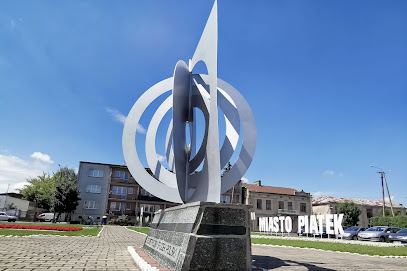
Geometric center of Poland
5.6 km
Explore the Geometric Center of Poland in Piątek, a striking sculpture celebrating the nation's geographical heart and cultural heritage.
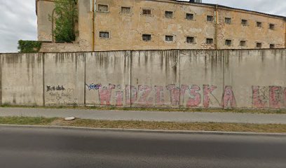
Dawny Zakład Karny w Łęczycy
16.5 km
Discover the rich history of Dawny Zakład Karny w Łęczycy, a former prison in Poland that tells a captivating story of the past and local culture.
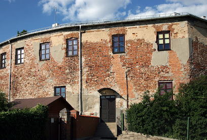
Mury obronne
16.8 km
Explore the majestic Mury Obronne, the historic defensive walls of Łęczyca, a must-see for history lovers and travelers seeking stunning views.
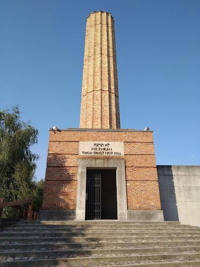
Łódź Ghetto
34.3 km
Delve into the rich and poignant history of the Łódź Ghetto, a significant memorial site that honors the strength of the human spirit during wartime.
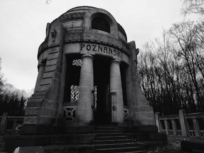
Jewish cemetery in Łódź
34.9 km
Explore the Jewish Cemetery in Łódź, a historical landmark preserving the rich heritage and memories of the Jewish community in Poland.
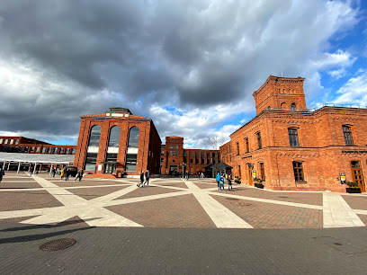
Market Square of Łódż Textiles
36.7 km
Discover the Market Square of Łódź Textiles, where vibrant culture meets historical charm in the heart of Poland's textile heritage.
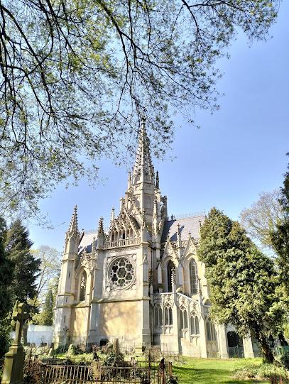
Karol Scheibler's Chapel
37.0 km
Explore the serene Karol Scheibler's Chapel in Łódź, a neo-Gothic architectural marvel that reflects the city's rich history and culture.
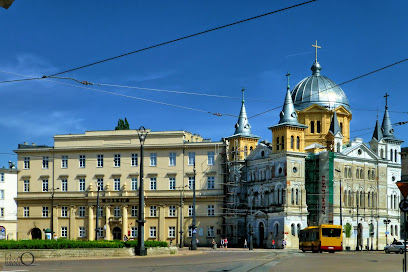
Museum of Archeology and Ethnography
37.1 km
Discover the hidden treasures of Poland's past at the Museum of Archeology and Ethnography in Łódź, where history comes alive through captivating exhibits.
Piotrkowska Street Obelisk
37.1 km
Explore the captivating Piotrkowska Street Obelisk in Łódź, a symbol of the city’s rich history and vibrant culture.
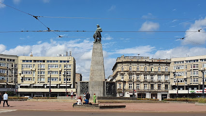
Old Town Hall in Łódź
37.1 km
Explore the historic Old Town Hall in Łódź, a stunning landmark that showcases the city's architectural beauty and vibrant cultural history.
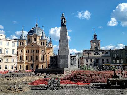
Reicher Synagogue in Łódź
37.1 km
Discover the rich history and stunning architecture of the Reicher Synagogue, a central piece of Łódź's Jewish heritage and cultural landscape.

Karol Poznański's Palace
37.4 km
Explore the stunning Karol Poznański's Palace in Łódź, a historical landmark rich in culture and architectural beauty.
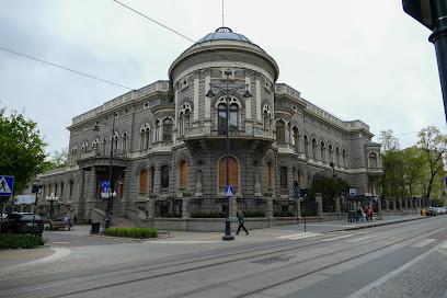
Pomnik Trzech Fabrykantów
37.5 km
Discover the Monument of Three Factory Owners in Łódź—a testament to the city's rich industrial history and entrepreneurial spirit.
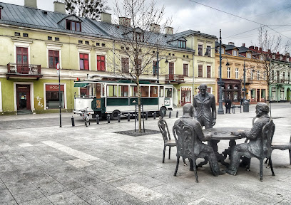
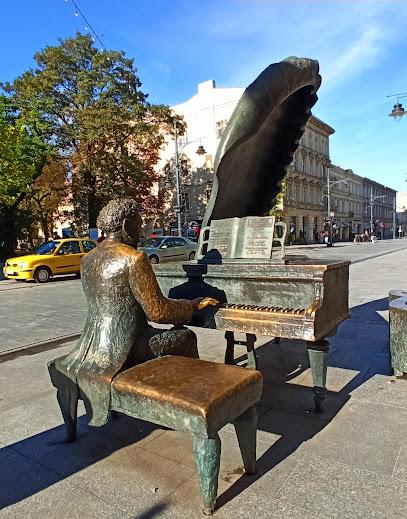
Rubinstein Piano
38.0 km
Explore the Rubinstein Piano in Łódź, a magnificent sculpture celebrating the legendary pianist Arthur Rubinstein amidst the vibrant culture of Piotrkowska Street.
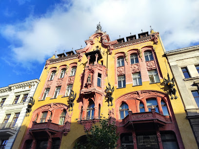
House under Gutenberg
38.1 km
Explore the House under Gutenberg in Łódź, a captivating historical landmark rich in culture and architectural beauty.
Unmissable attractions to see
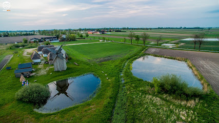
Skansen w Kwiatkówku i Grodzisko w Tumie
14.8 km
Discover Poland's rich rural heritage at Skansen w Kwiatkówku and Grodzisko w Tumie, an enchanting open-air museum for all ages.
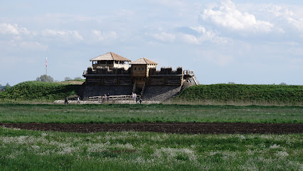
Gród Łęczycki
15.2 km
Discover the rich history of ancient Poland at Gród Łęczycki, an archaeological gem in Tum, showcasing artifacts and a reconstructed settlement.
Fontanna przy wyspie
16.1 km
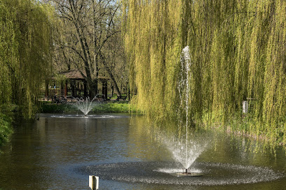
Experience tranquility at the Fontanna przy wyspie in Łęczyca, a serene fountain nestled in nature, perfect for relaxation and picturesque moments.
Park. Jozef Pilsudski
16.3 km
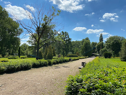
Explore the beauty of Jozef Pilsudski Park in Łęczyca, a tranquil escape where nature meets recreation, perfect for families and nature lovers alike.
The Royal Castle in Łęczyca
16.5 km
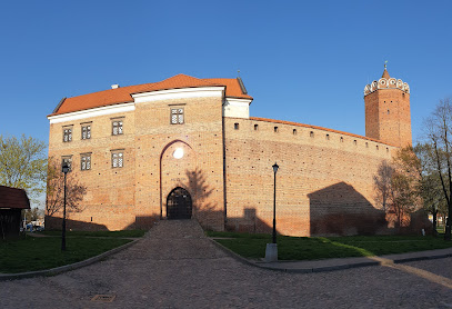
Explore the Royal Castle in Łęczyca, a stunning historical landmark showcasing Poland's medieval architecture and rich cultural heritage.
Fontanna
16.6 km
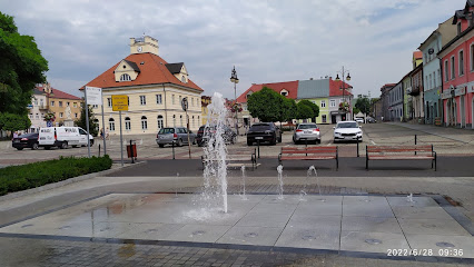
Discover the enchanting fountain of Łęczyca, a stunning tourist attraction offering serene beauty and cultural charm in the heart of Poland.
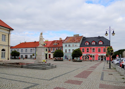
Rynek miasta Łęczyca
16.6 km
Explore Rynek Miasta Łęczyca, a charming market square in Poland, rich in history and vibrant local culture.
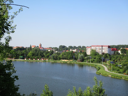
Teren rekreacyjny nad Zalewem Miejskim
17.1 km
Discover tranquility at Teren rekreacyjny nad Zalewem Miejskim in Łęczyca, a perfect blend of nature and recreation for all ages.
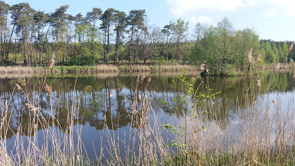
Reserve Dabrowa Grotnicka
22.2 km
Explore the natural beauty of Reserve Dabrowa Grotnicka, a tranquil nature preserve ideal for hiking, birdwatching, and appreciating Poland's diverse wildlife.
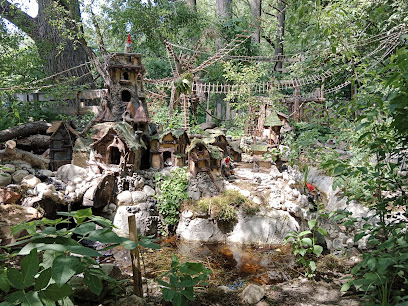
Dolina Skrzatów Park Skrzacich Opowieści Figur i Ekspozycji (rezerwacja obowiązkowa)
24.1 km
Explore the enchanting Dolina Skrzatów, a whimsical park filled with fairy tale sculptures and magical storytelling in Poland.
Cultural Park City Weavers
28.1 km
Discover the rich tapestry of Zgierz's heritage at the Cultural Park City Weavers, a serene blend of nature and history perfect for all travelers.
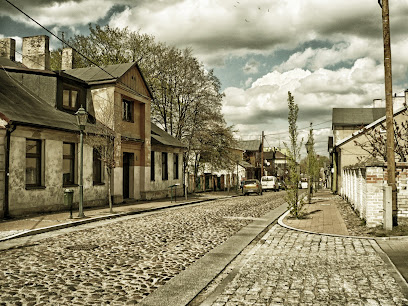
Łagiewnicki Forest Nature Reserve
31.1 km
Explore the lush trails and serene beauty of Łagiewnicki Forest, a nature lover's paradise in the heart of Łódź, Poland.
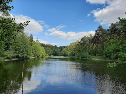
Radegast Train Station
34.4 km
Explore the Radegast Train Station Museum in Łódź, a poignant tribute to Holocaust history and a vital educational experience for all visitors.
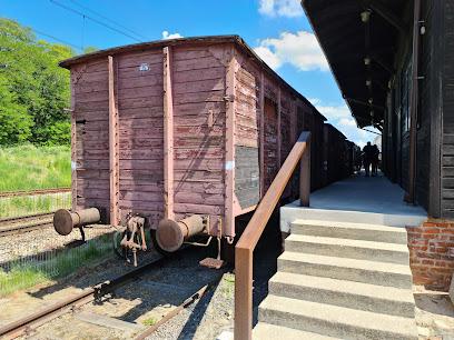
Park Ocalałych
36.1 km
Discover the tranquil beauty and historical significance of Park Ocalałych in Łódź, a serene escape dedicated to the memory of World War II victims.
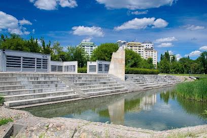
Muzeum Fabryki
36.6 km
Explore the rich industrial heritage of Łódź at Muzeum Fabryki, where history and contemporary art converge in a vibrant cultural hub.

Essential places to dine
Tościarnia
16.6 km
Experience authentic Polish cuisine at Tościarnia in Łęczyca - where tradition meets flavor in a cozy setting.
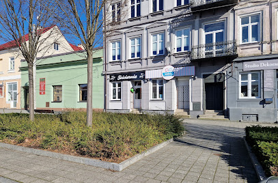
Nasz Naleśnik - Łęczyca
16.6 km
Savor delicious crepes and more at Nasz Naleśnik in Łęczyca – a must-visit culinary gem for tourists seeking local flavors.
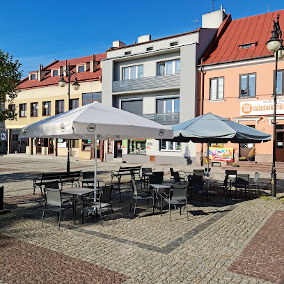
Mast Kebab Łęczyca
16.6 km
Discover authentic flavors at Mast Kebab in Łęczyca - where delicious meets tradition in every bite.

Pizzeria Mamma Mia
16.7 km
Experience the heart of Italy at Pizzeria Mamma Mia in Łęczyca - where every meal is a celebration of authentic flavors.

Restauracja Kargul noclegi
16.7 km
Experience authentic Polish cuisine at Restauracja Kargul in Łęczyca – where comfort meets tradition in every dish.

Eat Meat @ntosiak Tomasz
16.8 km
Discover the rich flavors of Poland at Eat Meat @ntosiak Tomasz—where every bite tells a story of culinary excellence.

Restauracja Szarotka
17.1 km
Experience authentic Polish cuisine at Restauracja Szarotka in Łęczyca - where every meal tells a story.

Restauracja Agawa
17.3 km
Experience modern European cuisine at Restauracja Agawa in Łęczyca – where local flavors meet contemporary dining.
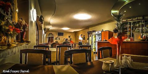
Restauracja Pod Ekranem
17.4 km
Experience authentic Polish cuisine at Restauracja Pod Ekranem in Łęczyca – a hidden gem where every meal tells a story.

Restauracja Tęcza
17.8 km
Experience authentic Polish cuisine at Restauracja Tęcza in Łęczyca - where tradition meets taste.

Restauracja Quattro Łęczyca
18.1 km
Discover exquisite modern European and Italian cuisine at Restauracja Quattro in Łęczyca - perfect for every meal from breakfast to dinner.
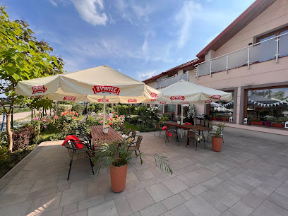
Zagroda u Matyjosów
22.8 km
Experience authentic Polish cuisine at Zagroda u Matyjosów in Zduny – where every meal tells a story.
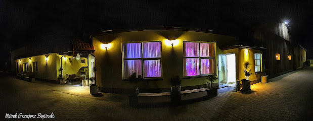
Zalewajka
36.0 km
Discover authentic Polish cuisine at Zalewajka in Świnice Warckie – where every dish tells a story.

Restauracja Stary Rynek 2
36.5 km
Discover the flavors of Poland at Restauracja Stary Rynek 2 in Łódź – where tradition meets modern cuisine in an inviting setting.
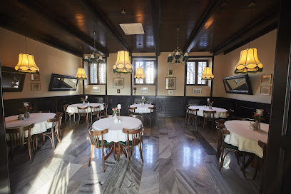
Anatewka
36.6 km
Discover the rich flavors of Jewish and Ukrainian cuisine at Anatewka in Łódź, where tradition meets taste in every dish.
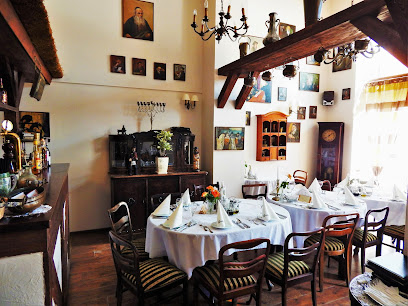
Markets, malls and hidden boutiques
Rytczak 1910 r.
16.5 km
Explore Rytczak 1910 r., a historical tool store in Łęczyca, showcasing the finest Polish craftsmanship and quality tools for all your needs.

Pub "U Kopra"
16.6 km
Discover the heart of Łęczyca at Pub 'U Kopra', where local culture and vibrant atmosphere come together in an unforgettable bar experience.
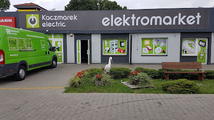
Kaczmarek Electric
16.6 km
Explore Kaczmarek Electric in Łęczyca for top-quality electrical supplies and exceptional customer service during your visit to Poland.
Atlantic
16.7 km
Discover Atlantic in Łęczyca: A Fashion Destination for Trendy Clothing and Unique Accessories, Perfect for Tourists Seeking Local Style.

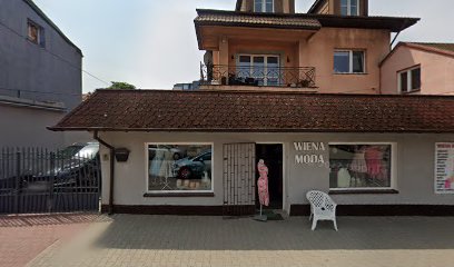
Wiena Moda
16.7 km
Explore Wiena Moda in Łęczyca for unique fashion that reflects your personal style in a vibrant shopping atmosphere.
Delikatesy. Sklep spożywczy
16.7 km
Explore the local flavors of Łęczyca at Delikatesy, your go-to grocery store for fresh produce and regional delicacies.
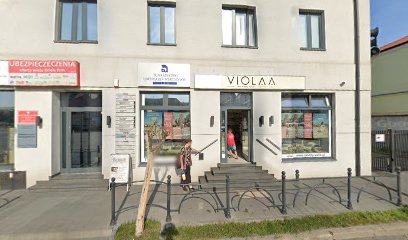
TOP SECRET & greenpoint & Pako Jeans
16.7 km
Explore the latest fashion trends at TOP SECRET in Łęczyca, where style and affordability meet for every fashion enthusiast.

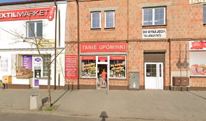
Tanie Upominki
16.7 km
Discover unique Polish souvenirs and local crafts at Tanie Upominki in the heart of Łęczyca, a perfect stop for every traveler.
PRESTIGE sklep odzieżowy
16.7 km
Explore the stylish offerings at PRESTIGE Clothing Store in Łęczyca, where quality meets fashion in a charming boutique setting.

Tania odzież
16.9 km
Explore Tania Odzież in Łęczyca for trendy second-hand fashion and unique finds at wallet-friendly prices.

Sklep spożywczo - przemysłowy
17.6 km
Experience the essence of Polish cuisine at Sklep spożywczo - przemysłowy, your go-to grocery store in Łęczyca for local delicacies and essentials.
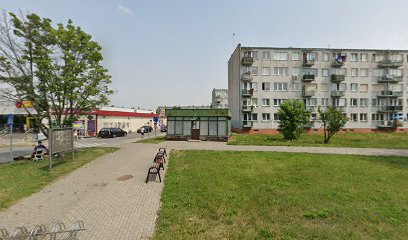
Sklep
18.3 km
Experience the authentic tastes of Poland at Sklep Grocery Store in Łęczyca, where local flavors and fresh produce await every visitor.

Happylada
26.7 km
Explore Happylada, a magical toy store where nostalgia and creativity come to life in every delightful corner.

Elanskis.pl - Narty Elan, skiturowe, damskie, all mountain
26.7 km
Explore Elanskis.pl for top-quality skiing equipment and expert advice, ensuring your winter adventures are unforgettable.

STIV TRADE Marcin Głowienka
26.7 km
Explore STIV TRADE Marcin Głowienka for top-quality tech products and exceptional service in a friendly internet shop catering to all your digital needs.

Essential bars & hidden hideouts
Bar Orient Express
17.4 km
Discover the Local Spirit at Bar Orient Express in Łęczyca - A Cozy Bar Offering a Warm Welcome and Refreshing Drinks.
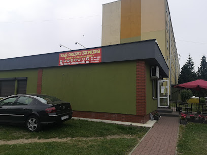
Bitwy nad bzura 22a
17.4 km
Experience the warmth and charm of Łęczyca at this inviting bar, offering a delightful selection of local drinks and a cozy atmosphere.
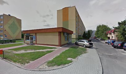
Spirit Bar
36.8 km
Discover the chic atmosphere of Spirit Bar in Łódź, where exquisite cocktails meet a stylish lounge experience.

IGŁA koktajl bar
36.8 km
Experience the vibrant cocktail culture at IGŁA Koktajl Bar in Łódź, where innovative mixology meets a welcoming atmosphere.

P29
37.5 km
Experience the vibrant nightlife of Łódź at P29, a lively bar on Piotrkowska Street with an inviting atmosphere and diverse drink options.
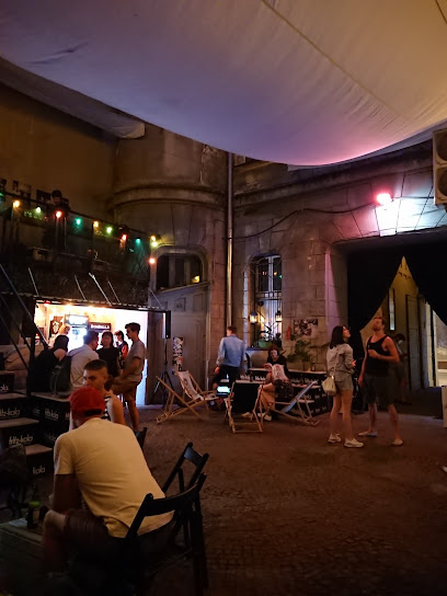
Piwoteka Narodowa Craft Beer & Food
37.9 km
Experience the best of craft beer and delicious food at Piwoteka Narodowa, the premier gastropub in Łódź, Poland.

JABEERWOCKY Craft Beer Pub
37.9 km
Discover JABEERWOCKY Craft Beer Pub in Łódź - a lively brewpub with craft beers, delicious pizzas, and karaoke fun.

Irish Pub
38.1 km
Discover the vibrant Irish Pub in Łódź, where craft beer, delicious food, and live music create an unforgettable experience.

The Eclipse Inn
38.1 km
Discover the vibrant atmosphere of The Eclipse Inn, a cozy pub in the heart of Łódź, where local flavors and great drinks meet.

That's it
38.1 km
Discover a vibrant bar in Łódź with craft beers and innovative cocktails, perfect for unwinding after sightseeing.
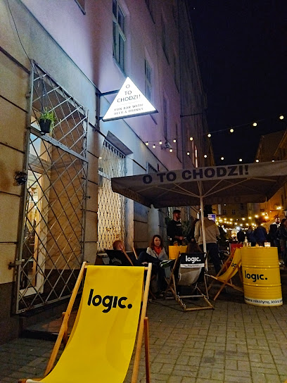
Infinity
38.1 km
Discover the best of brewpub culture at Infinity in Łódź, where craft beer meets delicious eats in a vibrant atmosphere.

Long Play
38.2 km
Discover the lively brewpub and club scene at Long Play, where craft beers meet vibrant nightlife in the heart of Łódź.

ShotMe by Gossip
38.2 km
Discover the lively ambiance and exquisite cocktails at ShotMe by Gossip, a premier bar in the heart of Łódź, perfect for nightlife lovers.

Iron Horse Pub
38.2 km
Discover the lively ambiance of Iron Horse Pub in Łódź, where local culture meets a diverse drink selection in a charming setting.
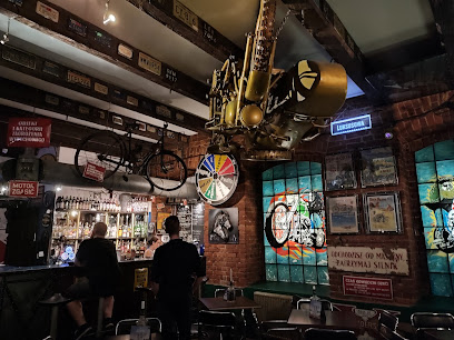
Biblioteka
38.3 km
Discover the lively charm of Biblioteka, a popular pub in Łódź, offering a delightful selection of drinks and a vibrant atmosphere.

Nightclubs & after hour spots
Klub ''U Maćka''
17.3 km
Discover the pulsating nightlife at Klub 'U Maćka' in Łęczyca, where great music and a friendly atmosphere await you.
Cotton club
36.8 km
Discover the pulse of Łódź nightlife at Cotton Club, a vibrant night club offering unforgettable music and an electrifying atmosphere.

Magnes
37.0 km
Discover the vibrant nightlife at Magnes, Łódź's premier night club, where unforgettable music and a lively atmosphere await every night.

Klub Studencki „Hustler”
37.6 km
Dive into the electrifying nightlife at Klub Studencki „Hustler” in Łódź, where unforgettable experiences and vibrant music await.

Klub Muzyczny Pewex
37.7 km
Discover the electrifying nightlife of Łódź at Klub Muzyczny Pewex, a premier night club offering cocktails, dancing, and unforgettable experiences.

Bajka Disco Club
38.0 km
Discover the heart of Łódź's nightlife at Bajka Disco Club, where rhythm and energy create unforgettable nights for every party lover.

Molodist Klub
38.1 km
Discover the electrifying atmosphere of Molodist Klub, a top night club in Łódź, perfect for dancing and enjoying vibrant nightlife.

Soda Underground Stage
38.3 km
Dive into the vibrant nightlife of Łódź at Soda Underground Stage, where unforgettable music and exhilarating dance await.

Prywatka Dance Club
38.3 km
Discover the electrifying nightlife of Łódź at Prywatka Dance Club, where music and dance create unforgettable experiences.

DoSopotu Club & Lounge
38.8 km
Discover the vibrant nightlife of Łódź at DoSopotu Club & Lounge, where stylish interiors meet electrifying music and great cocktails.
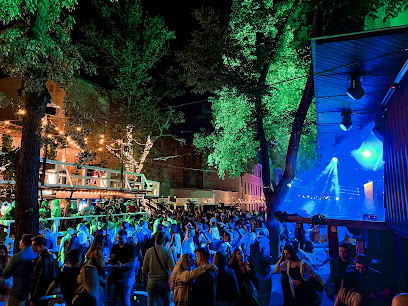
Narraganset
38.9 km
Discover the exciting and inclusive nightlife at Narraganset, the premier gay nightclub in Łódź, Poland, where every night is a celebration.

Dyskoteka Protector Prestige Club Uniejów
46.0 km
Experience the vibrant nightlife at Dyskoteka Protector Prestige Club in Uniejów, where great music and dancing await!

Ambra Club
63.4 km
Discover the vibrant nightlife of Ambra Club in Blichowo, where live music and dancing create an unforgettable atmosphere for tourists.

Pałac w Kwirynowie
97.9 km
Discover the vibrant nightlife at Pałac w Kwirynowie, a premier night club in Kwirynów offering an unforgettable experience filled with music and excitement.


