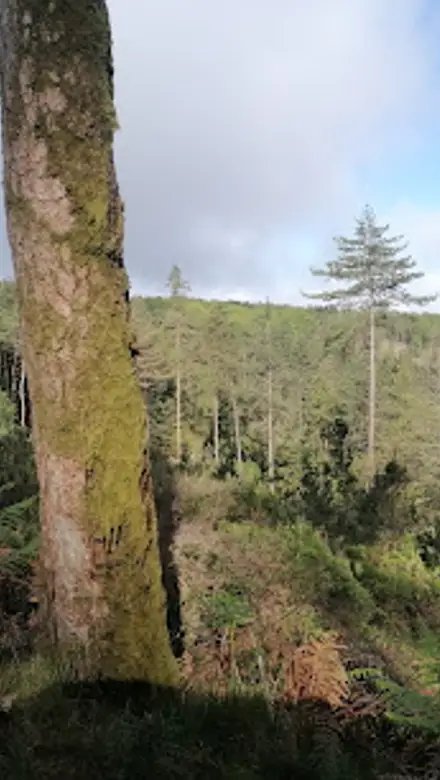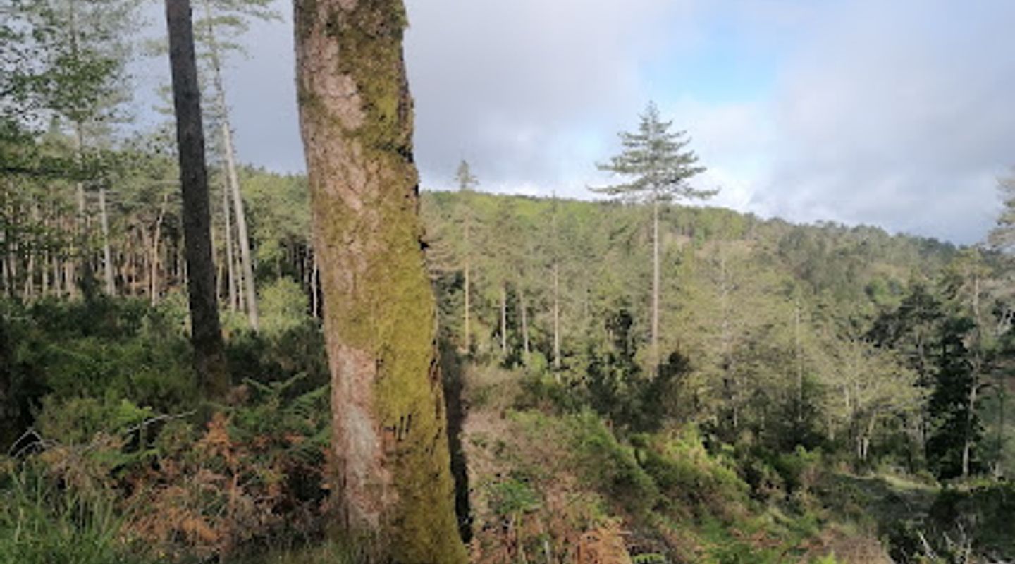
Marco Geodésico do Espigão, Serra Da Lousa Travel Guide
Explore the Marco Geodésico do Espigão, a stunning geodetic landmark in Lousã, showcasing breathtaking views of Portugal's natural landscape.
Nestled in the picturesque region of Lousã, the Marco Geodésico do Espigão offers visitors a unique glimpse into Portugal's cartographic history. This impressive geodetic marker not only serves as a stunning viewpoint but also stands as a testament to the country's rich geographical heritage. Surrounded by lush landscapes and breathtaking views, it is a must-see for tourists exploring the region.
A brief summary to Marco Geodésico do Espigão
- 3QC9+57, Lousã, PT

Know before you go
Hi, I'm Eve. Here are a few practical things to know before exploring Marco Geodésico do Espigão.
- Visit early in the morning or late in the afternoon for the best lighting and fewer crowds.
- Wear comfortable shoes, as the terrain can be uneven and requires some walking.
- Bring a picnic to enjoy while taking in the stunning views, as there are no facilities on-site.
- Check the weather forecast before your visit, as clear skies provide the best visibility for panoramic views.
Do you manage this location?
Take control to get all the benefits, like improved information, better appearance, and stronger visibility across AI-powered discovery. Learn more about listing your business on Evendo
Activate your presenceOther nearby places you may find interesting
The closest places of the same kind, if this one is not quite what you had in mind.
Explore Marco Geodésico do Espigão on the Map
A handpicked selection of must-see spots near Marco Geodésico do Espigão, mapped for you.
Getting There
-
Car
From the center of Lousã, drive north on the N236 road for approximately 10 kilometers. Follow signs towards 'Serra da Lousã' and 'Marco Geodésico do Espigão'. You'll pass through beautiful forested areas. Once you reach the coordinates 40.070396, -8.231756, you will find a small parking area nearby. The Marco Geodésico do Espigão is a short walk from the parking area.
-
Public Transportation
Take a bus from Lousã to the nearest town, 'Serra da Lousã'. Buses typically leave from the central bus station. Check local schedules for exact times. Once you arrive at Serra da Lousã, you may need to hike approximately 2 kilometers uphill to reach the Marco Geodésico do Espigão. The path is well-marked and offers stunning views of the surrounding landscape.
-
Hiking
If you are already in the Serra da Lousã area, you can hike directly to the Marco Geodésico do Espigão. Start your hike at 'Cabo da Roca' trailhead, following the marked trails that lead towards the geodetic marker. The hike is moderate in difficulty and should take about 1 to 1.5 hours. Make sure to wear appropriate hiking shoes and bring water.
Discover more about Marco Geodésico do Espigão
More to explore near Marco Geodésico do Espigão













Your all‑in‑one travel companion app
Explore expert travel guides, compare and book tours, experiences, hotels, and more—all from the palm of your hand. Download now for seamless trip planning wherever your wanderlust takes you.


Explore More of Serra Da Lousa
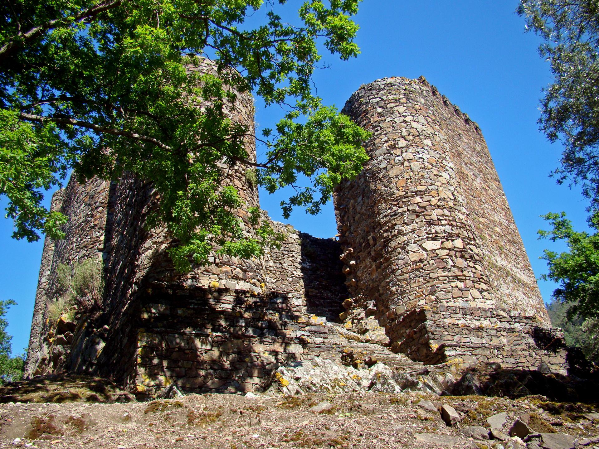
Looking beyond Marco Geodésico do Espigão? Discover Serra Da Lousa for broader travel guides, local hot-spots, and regional highlights.
Explore Serra Da Lousa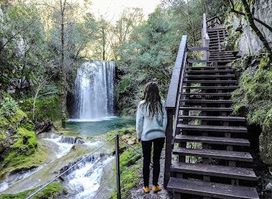
Explore the breathtaking Cascata do Rio de Mouros, a tranquil waterfall in Condeixa-a-Velha, perfect for nature lovers and adventure seekers.
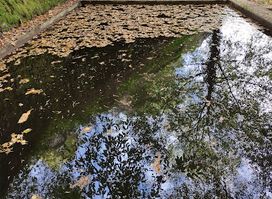
Explore the natural beauty of Tanque do Cabril in Serra da Lousã, a tranquil reservoir perfect for swimming, picnicking, and outdoor adventures.