From Eve
Know before you go
Hi, I'm Eve. Here are a few practical things to know before exploring Bunker.
Local know-how to help you travel smarter and make the most of every moment.
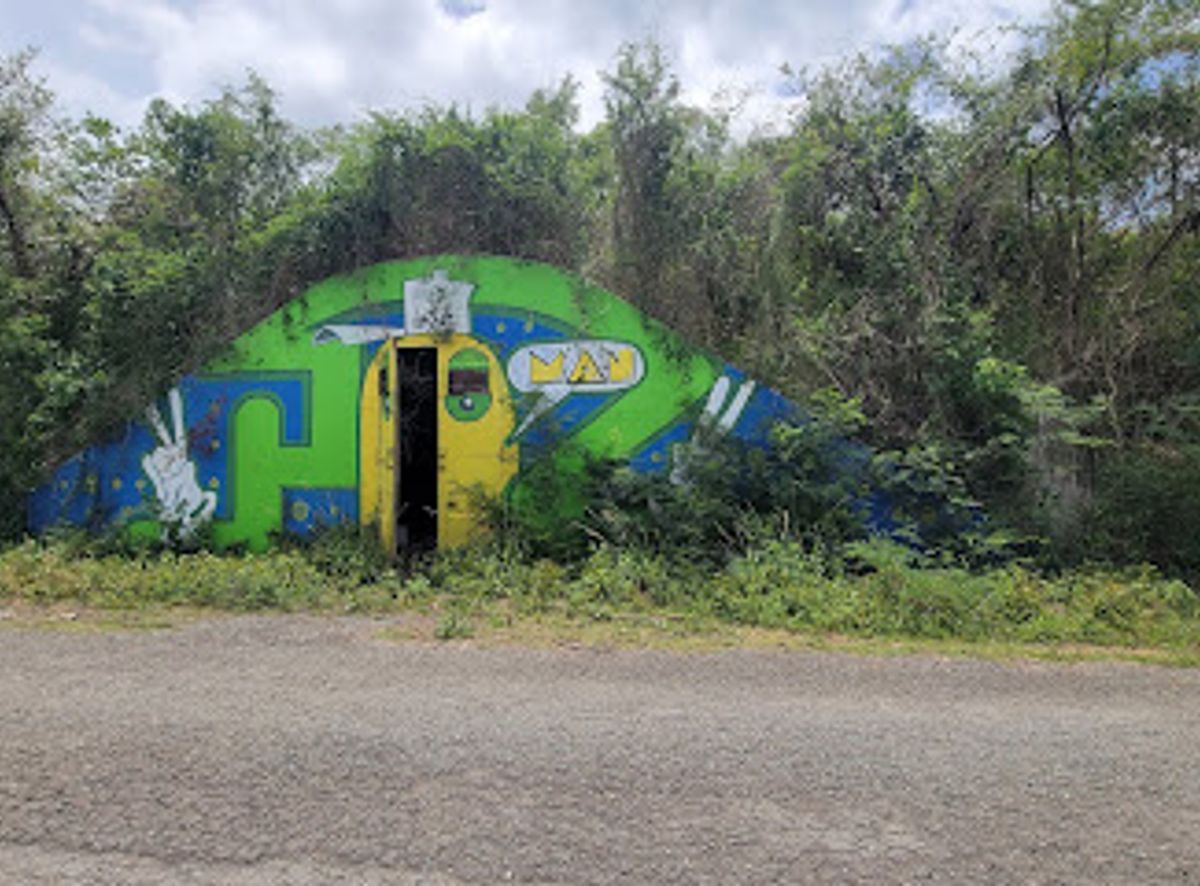
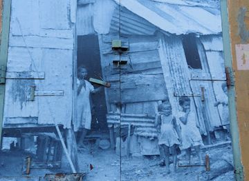
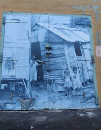
Explore the historical Bunker in Vieques, a landmark steeped in military history, surrounded by stunning scenery and breathtaking views of the Caribbean.
Bunker, a significant historical landmark in Vieques, offers tourists a glimpse into the region's rich past. Nestled in the scenic landscapes of Florida, this site is a testament to the island's storied history. Explore its remnants and enjoy breathtaking views that make for an unforgettable experience.
Opening times, essentials, and a few local tips gathered into one calmer, easier-to-scan planning section.
Hi, I'm Eve. Here are a few practical things to know before exploring Bunker.
Local know-how to help you travel smarter and make the most of every moment.
Walking
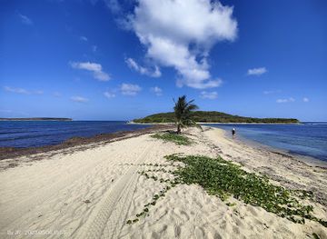
If you are staying in Isabel Segunda, start by heading down to the main road, PR-200. From there, walk towards the east. Continue walking until you reach the intersection with PR-201. Turn left onto PR-201 and follow it until you see signs for Playa Grande. After about 1.5 miles, you will come to a small dirt road leading to the beach. Follow this road for about half a mile – you will be walking through a scenic coastal area. Upon reaching Playa Grande, walk along the shore to the east until you reach the rocky outcrop. Bunker is located at coordinates 18.114105, -65.550344, which is just past the outcrop. Look out for the historical landmark signs.
Biking
Rent a bike in Isabel Segunda or Esperanza. Start your journey by cycling along PR-200, heading east. You’ll find the ride is quite pleasant, with beautiful views of the coastline. After about 2.5 miles, you will reach the intersection with PR-201. Turn left onto PR-201. Continue for another mile until you see the signs for Playa Grande. Take the dirt road leading to the beach and cycle down this path for about half a mile. Once you reach Playa Grande, park your bike and walk along the beach to the east towards the rocky outcrop where Bunker is located at coordinates 18.114105, -65.550344.
Public Transportation
From Isabel Segunda, you can catch a public car (colectivo) towards the south of the island. Ask the driver to drop you off at the Playa Grande stop. The ride will take about 15-20 minutes. Once you get off, walk towards the beach and follow the shoreline heading east. Keep walking until you reach the rocky outcrop where Bunker is located at coordinates 18.114105, -65.550344. Make sure to check the colectivo schedules so you can return easily.
Use Bunker as your starting point for nearby food, family ideas, nightlife, and more local discoveries.

Explore expert travel guides, compare and book tours, experiences, hotels, and more—all from the palm of your hand. Download now for seamless trip planning wherever your wanderlust takes you.
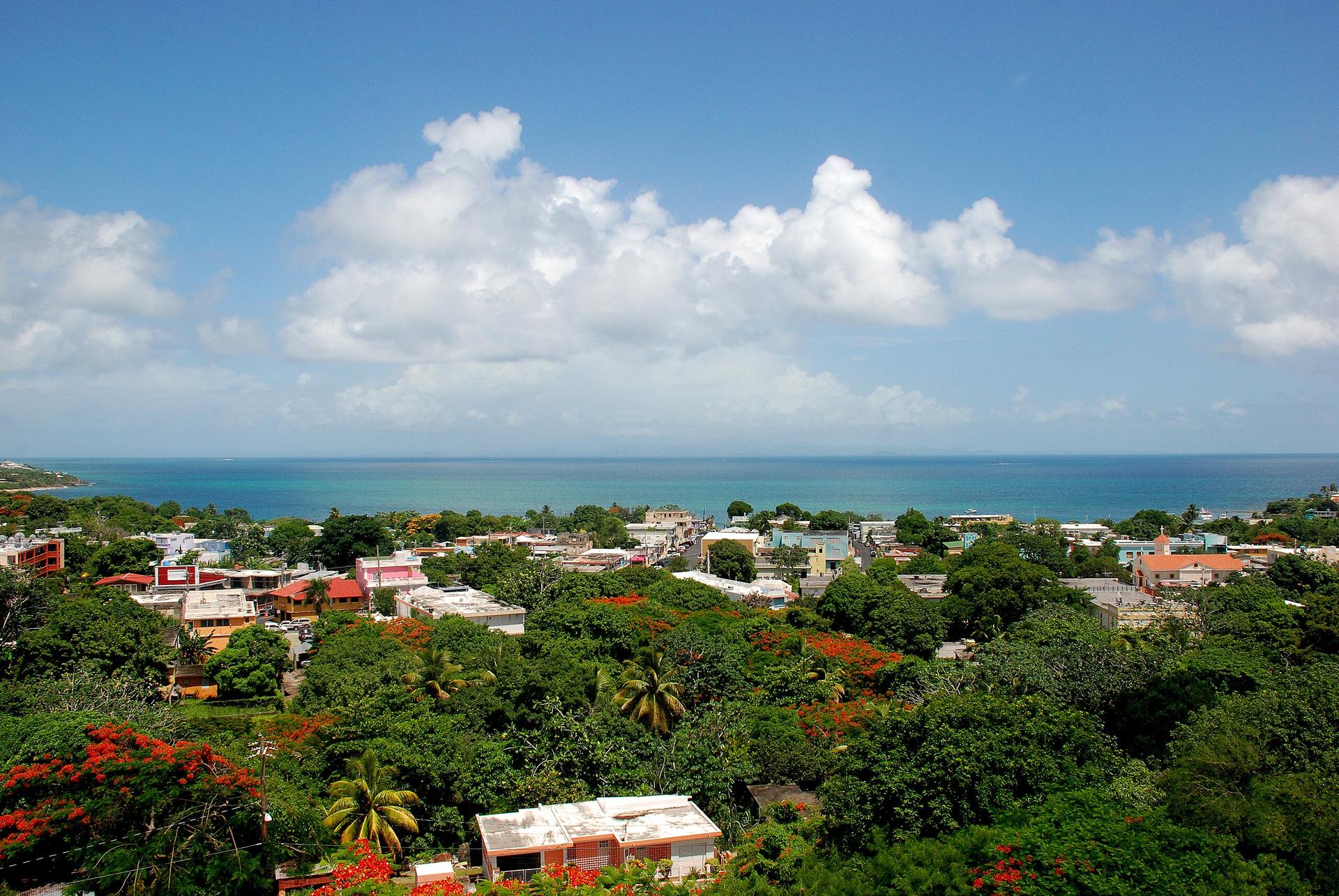
Discover Vieques, Puerto Rico's tranquil island paradise, known for its bioluminescent bay, unspoiled beaches, and rich cultural heritage.
Tell me more about Vieques