Discover the Majestic Velká Granátová Veža
Explore Velká Granátová Veža in Vysoké Tatry - a scenic gem perfect for hiking, photography, and immersing in Slovakia's breathtaking nature.
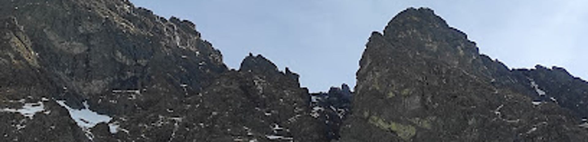
Nestled in the stunning Vysoké Tatry region, Velká Granátová Veža offers breathtaking views and an unforgettable experience for nature lovers and adventure seekers alike. As a prominent scenic spot, it is ideal for hiking, photography, and immersing oneself in the serene beauty of the Slovak mountains. Visitors can explore the surrounding trails that wind through picturesque landscapes and capture the essence of this remarkable destination.
A brief summary to Velká Granátová veža 2318
- Vysoké Tatry, SK
Local tips
- Visit early in the morning to avoid crowds and enjoy the tranquility of the mountains.
- Wear sturdy hiking shoes to navigate the rugged terrain safely.
- Bring a camera; the views are breathtaking and perfect for capturing memories.
- Check the weather forecast before your visit as conditions can change quickly in the mountains.
- Pack snacks and water to stay energized during your hike.
Getting There
-
Car
If you are traveling by car, drive towards Vysoké Tatry. From Poprad, take the E50 road and follow the signs to Vysoké Tatry. Once in Vysoké Tatry, navigate to the area around Tatranská Lomnica. Use GPS coordinates 49.1658602, 20.1595255 to reach the parking area nearest to Velká Granátová veža. Parking fees may apply, so be prepared with cash or a credit card.
-
Public Transportation
For those using public transport, take a train or bus from Poprad to Vysoké Tatry. Trains run regularly from Poprad to the Vysoké Tatry station. Once you arrive at the station, you can take a local bus or taxi to Tatranská Lomnica. From there, follow signs or use a map to reach Velká Granátová veža. Be aware of the bus schedules as they may vary, especially on weekends.
-
Hiking
After reaching Tatranská Lomnica, if you’re up for an adventure, you can hike to Velká Granátová veža. The trailhead begins near the Tatranská Lomnica area. Make sure to have a good map or GPS app, as the trail may not always be clearly marked. The hike is moderately challenging and typically takes around 2-3 hours depending on your fitness level. Bring plenty of water and snacks.


