Breydon Water: Norfolk’s Largest Protected Wetland Estuary
Explore Breydon Water, the UK’s largest protected wetland estuary, rich in wildlife and history on Norfolk’s scenic Broads edge.
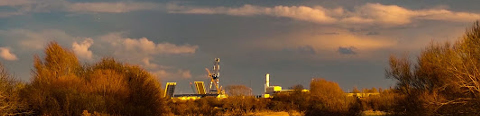
Breydon Water is a vast 514-hectare estuarine nature reserve located at Great Yarmouth, Norfolk. As the UK’s largest protected wetland, it features rich intertidal mudflats, saltmarshes, and wet grasslands that support thousands of waterfowl and wading birds year-round. Overlooked by the historic Burgh Castle Roman fort, this tranquil estuary is a haven for birdwatchers and nature lovers, managed by the RSPB as part of the Berney Marshes and Breydon Water reserve.
A brief summary to Breydon Water
- Great Yarmouth, Burgh Castle, GB
- Duration: 1 to 3 hours
- Free
-
 Outdoor
- Mobile reception: 4 out of 5
Local tips
- Bring binoculars for excellent birdwatching opportunities, especially during winter migration seasons.
- Wear sturdy, waterproof footwear as footpaths around the reserve can be muddy and uneven.
- Visit the nearby Burgh Castle Roman Fort to combine natural and historical exploration.
- Use the Wherryman’s Way or Weavers’ Way trails for scenic walks along the estuary’s northern bank.
For the on-the-go comforts that matter to you
- Information Boards
Getting There
-
Car
Driving from Great Yarmouth, it takes about 15-20 minutes to reach Breydon Water via local roads. Parking is available near Burgh Castle, but there is no parking within the reserve itself. Expect a parking fee of approximately £3-5. Note that the reserve paths are uneven and may require sturdy footwear.
-
Train and Bus
From Great Yarmouth railway station, take a local bus towards Burgh Castle or nearby stops; the journey takes around 25-35 minutes. Bus services run several times daily but check schedules in advance as frequency varies. From the bus stop, a 10-15 minute walk over uneven terrain leads to the reserve entrance.
-
Walking
For active visitors, walking along the Wherryman’s Way or Weavers’ Way trails from Great Yarmouth to Breydon Water is possible in about 1.5 to 2 hours. Trails are natural and can be muddy, requiring good footwear and moderate fitness.
Breydon Water location weather suitability
-
 Any Weather
-
 Rain / Wet Weather
-
 Clear Skies
-
 Windy Conditions
-
 Mild Temperatures
Discover more about Breydon Water
A Majestic Estuary at the Heart of Norfolk
Breydon Water stretches over 514 hectares (1,271 acres) as a sheltered estuary at the gateway to the Norfolk Broads river system. It spans approximately 5 km in length and up to 1.5 km wide, formed by the confluence of the River Yare, River Waveney, and smaller watercourses like The Fleet. This vast tidal expanse is the UK’s largest protected wetland, designated as a Site of Special Scientific Interest, a Local Nature Reserve, a Ramsar site, and a Special Protection Area. Its unique ecosystem supports diverse habitats including intertidal mudflats, saltmarshes, and wet grasslands.Wildlife Sanctuary and Birdwatching Paradise
Breydon Water is internationally important for its birdlife, attracting thousands of ducks, geese, swans, and waders throughout the year. Winter sees huge flocks of waterfowl such as Pink-footed Geese, Wigeons, and Black-tailed Godwits arriving to shelter and feed. Breeding birds include common terns, shelducks, northern shovelers, Eurasian oystercatchers, and yellow wagtails. Birds of prey can also be spotted hunting over the marshes. The RSPB manages the area to maintain ideal conditions for breeding and feeding, using grazing cattle and water level control to preserve the wet grasslands.Historical and Cultural Context
The southern edge of Breydon Water is overlooked by the remains of Burgh Castle, a Roman Saxon Shore fort dating back to the 3rd century. This historic site connects visitors with the region’s ancient past and maritime heritage. The estuary itself was once a larger open estuary facing the sea before land reclamation shaped the current marshes. Naturalist Arthur Henry Patterson, under the pseudonym "John Knowlittle," documented the wildlife and traditional livelihoods of boatmen and wildfowlers who depended on Breydon Water.Recreation and Trails Along the Estuary
Nature enthusiasts can explore sections of the Wherryman’s Way and Weavers’ Way long-distance footpaths along the northern bank of Breydon Water. These trails offer scenic views over the estuary and connect to Berney Arms, approximately 5 miles away. Bird hides provide excellent vantage points for observing breeding platforms and flocks in action. The estuary is navigable by boats without speed limits, marked by red and green posts, allowing safe passage through its tidal waters.Conservation Efforts and Environmental Importance
Managed by the RSPB and other conservation bodies, Breydon Water is a critical habitat for wetland species and plays a key role in protecting Norfolk’s biodiversity. Innovative management practices help safeguard threatened species and maintain the ecological balance of the marshes and mudflats. The reserve is a vital stopover for migratory birds and supports a wide range of wildlife beyond avian species, emphasizing its importance as a nature conservation area.Visitor Experience and Nearby Attractions
While there is no on-site parking or visitor facilities such as toilets at the reserve itself, nearby Great Yarmouth and Burgh Castle offer amenities and accommodation options, including the Breydon Water Holiday Park. Visitors can combine nature watching with exploring local history, beaches, and family-friendly attractions. The estuary’s peaceful atmosphere and rich wildlife make it a rewarding destination for photographers, birdwatchers, and those seeking a tranquil natural escape.For the vibe & atmosphere seeker
- Tranquil
- Scenic
- Relaxing
- Unique
- Casual
For the architecture buff
- Historic
- Parks & Gardens
- Heritage Neighborhoods
For the view chaser and sunset hunter
- Iconic Views
- Panoramas
- Sunrise Spots
- Sunset Spots
For the social media creator & influencer
- Instagrammable
- Photo Spots
- Selfie Spots
- Aesthetic Corners
For the eco-conscious traveler
- Sustainable
- Eco-Friendly
- Low Impact
- Protected Area
- Nature Reserve
- Ramsar sites in England
- Public-Transport Accessible
- Leave-No-Trace Critical
- Locally Managed
- Wildlife Habitat
For the kind of experience you’re after
- Cultural Heritage
- Nature Escape
- Day Trip
- Weekend Getaway
- Photowalk
- Myth & Legends
For how adventurous you want the journey to be
- Easy Access
Location Audience
- Family Friendly
- Senior Friendly
- Child Friendly
- Teen Friendly
- Wheelchair Access
- Pet Friendly
- Solo Friendly
- Couple Friendly
- Solo Female Friendly
- Vegetarian Friendly
- Vegan Friendly


