


La Sal Mountain Loop Scenic Drive Self-Guided Audio Tour
 Moab, US
 100% of travellers recommend this

Highlights
- Engaging storytelling with unique tales and thrilling history
- Comprehensive route with all stops included
- Great value with affordable pricing per car
- Perfect narrator for an immersive experience
- Hands-free audio stories based on location
-
Duration 2 to 3 hours
-
Self-guided audio tour
-
Offline maps available
-
Purchase per car, not person
-
Comprehensive route and stops
-
Flexible start and pause
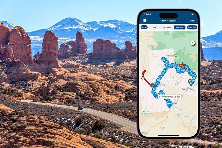
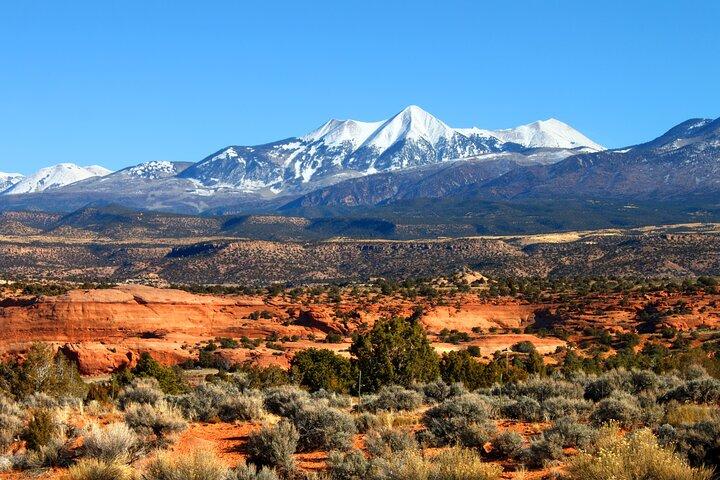
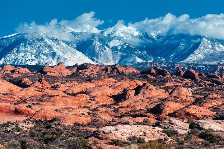
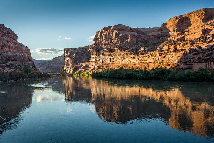
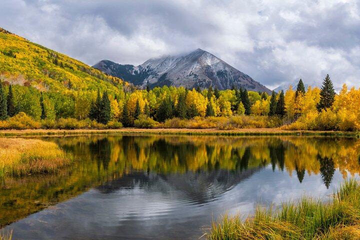
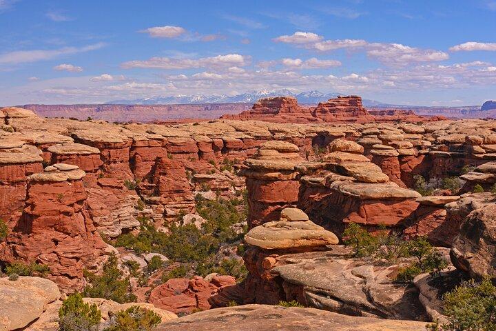
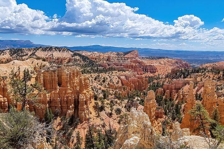
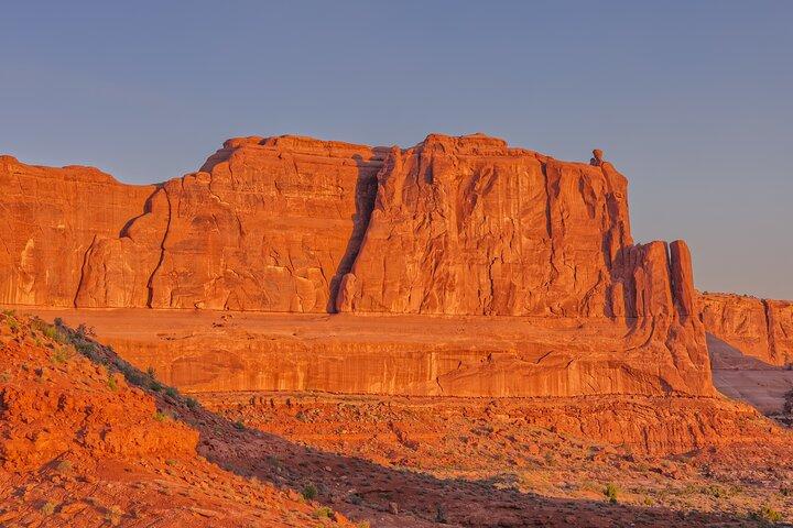
Embark on a thrilling mountain driving tour through the majestic La Sal Mountains with the La Sal Mountain Self-Guided Driving Audio Tour. Cruise alongside the Colorado River, marvel at ancient red stone formations, and discover real dinosaur tracks dating back millions of years. This tour offers the flexibility to explore at your own pace, with opportunities to visit hiking trails, Wild West filming locations, and more. Immerse yourself in the rich history of the area as you journey through this unique landscape. Download the Tour Guide App, follow the audio instructions, and enjoy a year of access to this unforgettable experience. Don't miss out on this incredible adventure!
At a Glance
-
 Free cancellation
-
 2 hours
-
 Instant Confirmation
-
 Available in English
-
 Mobile voucher
-
 Private Tour
-
 Audio guide
-
 Family friendly

Featured Reviews

Explore La Sal Mountains at your pace with a self-guided audio tour that shares rich history and scenic beauty along the way.
Included
-
 OtherJust bring your car and phone; the app guides your tour.
 -
OtherSupport is available via chat, email, or phone if you need help.
-
OtherPlanning tools, route maps, scenic stops, and area previews included.
-
OtherPrivate tour experience for your family, in your own car.
-
OtherLifetime access: use the tour anytime and keep it for future trips.
-
OtherWorks offline with GPS route guidance and automatic audio stories.
-
OtherOne purchase covers everyone in your car, not per person.
-
OtherFlexible tour: start, stop, and pause anytime during your trip.
-
OtherAccess your tour in our separate audio tour app after booking.
-
OtherHidden gems and local stories included along the route.
Excluded
-
 OtherNo live guide. Entrance fees, parking, food, and car rental are separate.
Meeting Point
Begin from Lions Park and Bike Path Trailhead, UT-128, Moab, UT. After booking the tour, search your emails and texts for "audio tour". Your tour is VALID FOR ONE YEAR so follow these instructions NOW to finish setting up the tour while you have Wi-Fi/data. Do NOT wait until you are onsite.

UT-128, Moab, UT 84532 , United States

End Point
This tour will end at Flat Pass Rd, Moab, UT 84532.

UT-313, Moab, UT 84532 , United States
What to expect
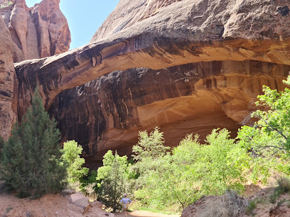
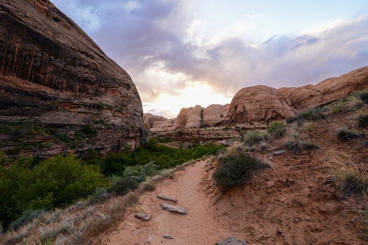
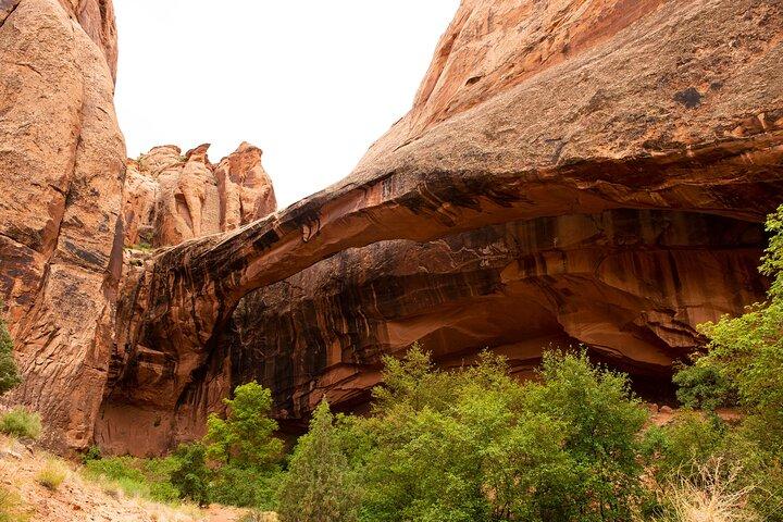
Coming up ahead is the Grandstaff Canyon Trail. This moderate hike stretches about 5 miles and takes almost an hour to complete. If you have the time to do it, you’ll be richly rewarded — it ends at an impressive natural bridge over 200 feet long. Note: The tour is over 61 miles long, with more than 45+ audio stories, and takes about 2-3 hours to complete. Buy once, use for one year! Ideal for extended visits and return trips over the next 12 months.
10 minutes
 Admission Not Included
Take Out Beach
Coming up soon is Take Out Beach. As we approach, you might notice a few paddle rafts, tubes, and kayaks floating down the river. That’s because this stretch of the Colorado River is the most floated in Utah! If you’ve brought along a boat or flotation device, this is a great place to take it out for a spin.
10 minutes
Admission Not Included
Petrified Sand Dunes
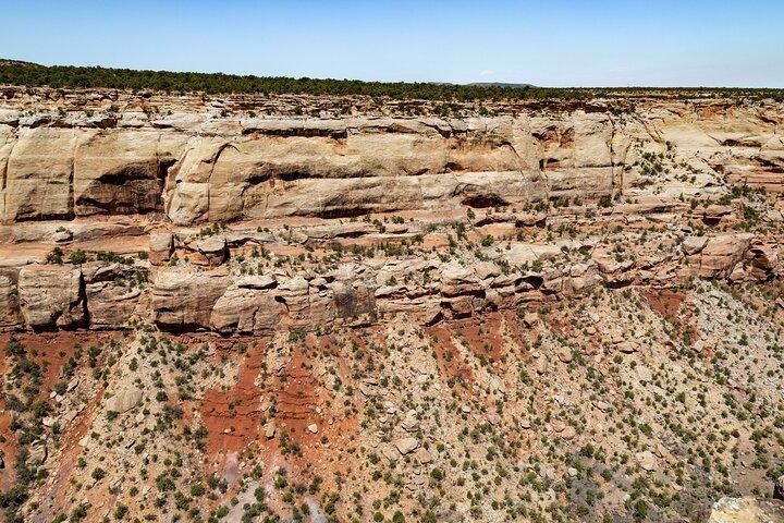
I mentioned that the red stone making up the walls of most of these formations is called Wingate Sandstone. But did you know that this kind of rock used to be sand? Here’s what happened: 200 million years ago, winds from the northwest carried tons of fine-grained sand here. The sand spread out, forming dunes and sinking into the shallow sea. The wind constantly reshaped the sand, and eventually began piling other sediments on top of it. Water also carried these rocks and minerals and deposited them atop the sand.
10 minutes
Hauer Ranch (Moab Horses)
We’re coming up on an optional detour to Hauer Ranch. It takes about 15 minutes to reach the ranch, and once you’re there you’ll have the opportunity to see some famous filming sites and even saddle up a horse!
10 minutes
Admission Not Included
Parriott Mesa
If you look to our left, you’ll see a massive sandstone mesa – it’s a little hard to miss. That’s Parriott Mesa, which stretches out more than a mile. While it is a long mesa, it’s also quite narrow. At its narrowest point, it stretches only 350 feet. In geologic terms, that actually makes it much closer to a butte than a mesa.
10 minutes
Castle Valley
That burst of green up ahead tells us we’re approaching Castle Valley. It gets its lush greenery from water flowing down from the surrounding rocks, but the origin of this valley is actually salt!
10 minutes
Admission Not Included
Castleton Tower
To our left is a summit with what looks like a giant thumb sticking out the top. Do you see it? That’s Castleton Tower, the first major tower climbed by Americans in the area.
10 minutes
Round Mountain
See the squat gray mountain coming up ahead on our right? That’s Round Mountain. I know, pretty creative name, right? Are you wondering why it’s not red like the surrounding rock formations? That would be because… it’s made of LAVA! The story began 24 million years ago. Remember, that’s around the time magma was struggling to bubble up out of the earth and creating all those laccolithic mountains. The magma did escape in a few places, like right here at Round Mountain. Except it didn’t get very far.
10 minutes
La Sal Lookout Point
We’re approaching La Sal Lookout Point, offering a tremendous view of the mesas and buttes alongside the Colorado River. From the viewpoint, we’ll be able to see certain rock formations more clearly than we could from the road. One to keep an eye out for is the Courthouse Towers, two towering stone columns. They’re not actually named after a courthouse but after skyscrapers in New York City.
10 minutes
Admission Not Included
Warner Lake
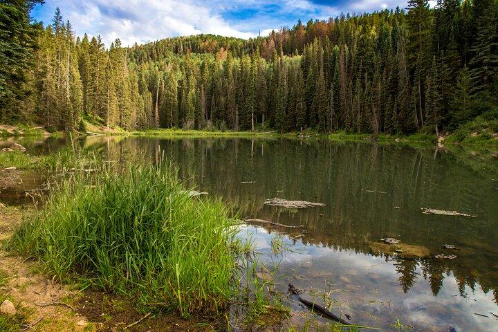
We’re approaching an optional detour to Warner Lake, a secluded little lake just five miles out of our way. If you’re up for a quick swim or some fishing, this is a great detour that’s only a 20 minute drive from here.
10 minutes
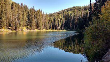
Coming up is a detour for Oowah Lake, which is just a 15 minute drive from here. If you love a good hike that offers a spectacular payoff, lace up your boots because the Oowah Lake to Clarks Lake Trail is serving up scenic vistas of the Canyonlands region below. Like Warner Lake, this lake is also stocked with rainbow trout, so there’s terrific fishing here too.
10 minutes
Admission Not Included
Geyser Pass Rd
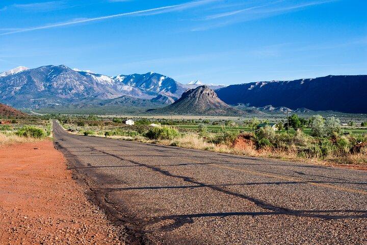
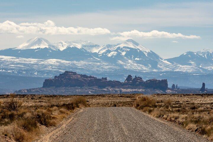
To our left stand a trio of mountains. The leftmost is Mount Mellenthin at 12,645 feet. In the center stands Mount Peale, the highest peak at 12,726 feet. And to the right is Mount Tukuhnikivatz, at 12,482 feet. These make up the tallest peaks of the La Sal Mountains. And while we’re just admiring the mountain, there are some adventurers who’ve skied it! But how on Earth do they get there?
10 minutes
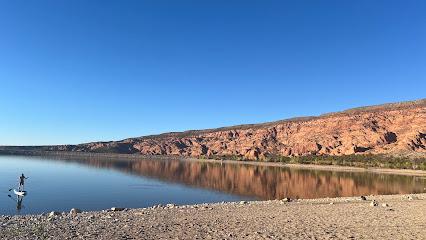
Coming up in a moment is the turn for Ken’s Lake and Faux Falls. But hold on, what is a faux waterfall? Can a waterfall even be fake? In actuality, Faux Falls is real; it’s just made by humans who have diverted water from the nearby lake. But it’s still definitely worth seeing! There’s also a swimming hole at the base of the waterfall, though it’s only three feet deep, so it’s a bit more like a wading pool.
10 minutes
Admission Not Included
The experience can be subject to change due to bad weather or unforseen circumstances. We always endeavour to give you the best possible experience.
Additional Information
-
 At your own pace: Start anytime and pause for hikes, picnics, photos, or scenic stops.
 -
Download in advance: Download the Tour Guide app by Action and tour while connected to Wi-Fi or a strong cellular signal.
-
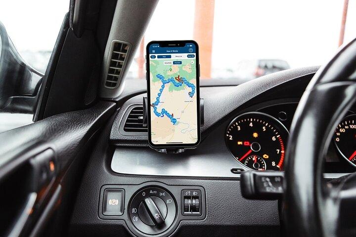
Easy to use: GPS-triggered audio plays automatically along the route for a hands-free experience.
-
Follow the route: Begin at the suggested starting point or join anywhere along the route shown in the app.
-
Good value: One purchase covers everyone in your vehicle, not each person separately.
-
Lifetime access: Preview the tour before your trip and revisit the stories, photos, and details afterward.
-
More ways to save: Choose a single tour, a nearby bundle, or access to 200+ tours.
-
Private tour: Explore in your own vehicle without crowded buses or large tour groups.
-
Public transportation options are available nearby
-
Suitable for all physical fitness levels
-
Supported devices: iPhone with iOS 15+, Android with version 9+, or a GPS-enabled iPad/tablet with cellular capability.
-
The app’s audio will play through your car’s Apple CarPlay and Android Auto display, while the app’s map will display on your phone. You can connect your phone to the car via Bluetooth to listen to the commentary through the car stereo.
-
Works offline: Once downloaded, the tour works using GPS without Wi-Fi or cellular service.
What our experts say
-
 Download the app before arrival.
 -
Stop by Ken's Lake for a swim.
-
Visit Warner Lake for hiking.
-
Check out local dining in Moab.
-
Bring snacks for scenic overlooks.

More About this Experience
Introduction
Experience the enchanting beauty of the La Sal Mountains like never before with the La Sal Mountain Self-Guided Driving Audio Tour. This tour allows you to explore the stunning landscapes, ancient red stone formations, and even dinosaur tracks at your own pace while learning about the rich history of this unique land.What to expect?
Embark on a journey filled with awe-inspiring sights and fascinating stories as you cruise alongside the Colorado River, stand atop soaring overlooks, and discover real-life dinosaur tracks dating back millions of years. With the easy-to-use Tour Guide App by Action, you can enjoy engaging storytelling, comprehensive route information, and offline maps for a seamless and immersive experience.Who is this for?
This self-guided audio tour is perfect for travelers who crave independence and flexibility in their exploration. Whether you're a nature enthusiast, history buff, or simply seeking a unique adventure, the La Sal Mountain tour offers something for everyone. Families, solo travelers, and groups of friends can all enjoy the beauty and wonder of this captivating destination.Why book this?
Immerse yourself in the natural wonders of the La Sal Mountains with the convenience and affordability of this self-guided driving tour. With a year-long validity and the freedom to use it multiple times, you can experience the magic of this landscape at your leisure. The engaging storytelling, hands-free audio guide, and offline maps ensure a stress-free and enriching journey that you'll never forget.Good to know
Before embarking on your tour, ensure good internet/wifi access for downloading the Tour Guide App and following the audio instructions. Remember that this tour does not include entrance tickets to attractions along the route, so be sure to check opening hours before your visit. With the flexibility to start anytime, pause anywhere, and enjoy breaks for snacks and photos, this tour offers a personalized and memorable experience.Reviews
Travelers rave about the La Sal Mountain Self-Guided Driving Audio Tour, praising the captivating storytelling, stunning scenery, and seamless navigation provided by the Tour Guide App. Many have found this tour to be a unique and enriching way to explore the La Sal Mountains, making it a must-do experience for anyone visiting the area.
Your all‑in‑one travel companion app
Explore expert travel guides, compare and book tours, experiences, hotels, and more—all from the palm of your hand. Download now for seamless trip planning wherever your wanderlust takes you.


This is a popular product and the date you are looking for just sold out. Next available date is
