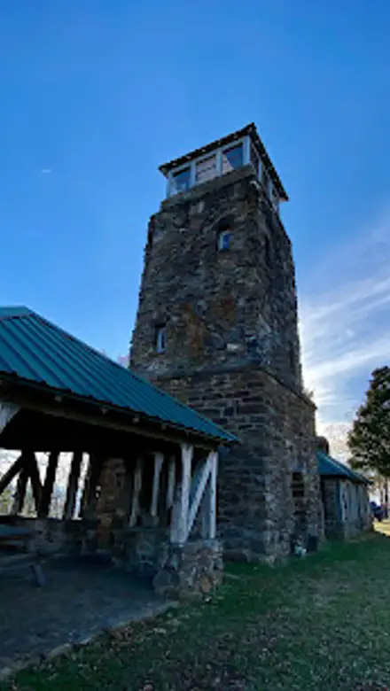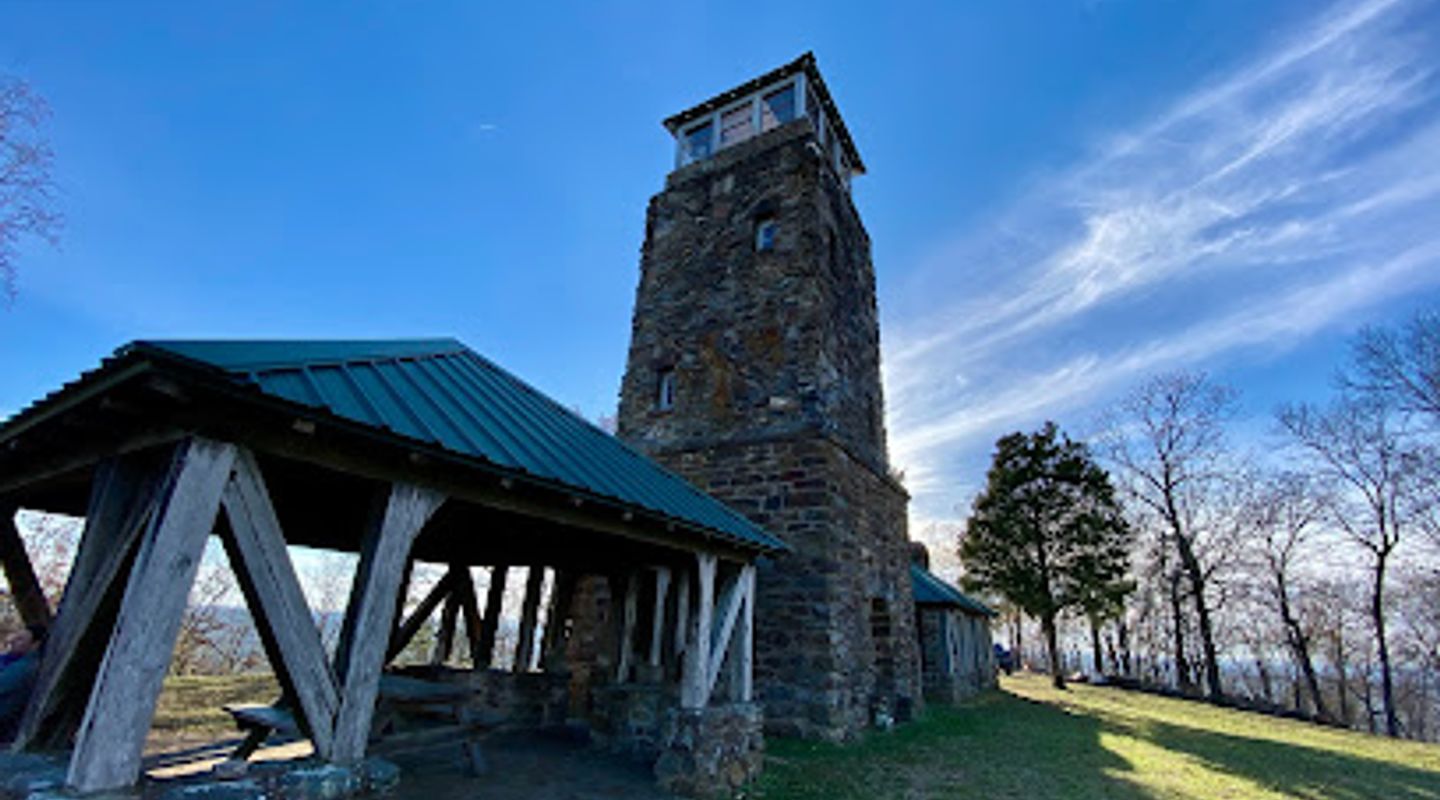
Flagg Mountain Tower, North Alabama Travel Guide
Discover panoramic views and hiking trails at Flagg Mountain Tower, the Appalachian's southernmost peak in Alabama's Weogufka State Forest.
Ascend the historic Flagg Mountain Tower, the southernmost peak of the Appalachian Mountains over 1,000 feet. Built in 1935 by the Civilian Conservation Corps, this stone tower offers panoramic views and marks the start of the Pinhoti Trail.
A brief summary to Flagg Mountain Tower
- Weogufka, Alabama, 35183, US
- Click to display
- Monday 9 am-6 pm
- Thursday 9 am-6 pm
- Friday 9 am-6 pm
- Saturday 9 am-6 pm
- Sunday 9 am-6 pm

Know before you go
Hi, I'm Eve. Here are a few practical things to know before exploring Flagg Mountain Tower.
- Check with the Friends of Flagg Mountain group on Facebook for current gate hours and any planned events.
- Wear sturdy shoes for hiking the trails, which can be rocky.
- Bring water, especially during warmer months.
- Be prepared for a bumpy ride on CC Camp Road, the dirt road leading to the tower; high-clearance vehicles are recommended.
- Reserve campsites or cabins in advance by texting the caretaker at (334) 561-5467.
Do you manage this location?
Take control to get all the benefits, like improved information, better appearance, and stronger visibility across AI-powered discovery. Learn more about listing your business on Evendo
Activate your presenceOther nearby places you may find interesting
The closest places of the same kind, if this one is not quite what you had in mind.


Explore Flagg Mountain Tower on the Map
A handpicked selection of must-see spots near Flagg Mountain Tower, mapped for you.
Getting There
-
Driving
From Sylacauga, Alabama, head west on US-280 W. Turn left onto AL-145 S. Continue onto Co Rd 55 for approximately 14 miles. Turn right onto CC Camp Rd and follow the signs to Flagg Mountain. The road is a dirt road and can be rough, so drive carefully. Parking is available near the tower. There are no tolls on this route.
-
Walking
For those who prefer a walk, especially if driving a low-clearance vehicle, park at the base of CC Camp Road and walk the remaining distance to the tower. Be aware that it is a steep, rocky dirt road, approximately 0.5 miles to the top. Ensure you have appropriate footwear and allow extra time.
Discover more about Flagg Mountain Tower













Your all‑in‑one travel companion app
Explore expert travel guides, compare and book tours, experiences, hotels, and more—all from the palm of your hand. Download now for seamless trip planning wherever your wanderlust takes you.


Explore More of North Alabama

Looking beyond Flagg Mountain Tower? Discover North Alabama for broader travel guides, local hot-spots, and regional highlights.
Explore North Alabama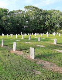
Explore Alabama's Confederate history at this memorial park, home to the state's only Confederate Soldiers' Home.
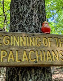
Discover Alabama's mountain majesty at Flagg Mountain: hiking, history, and panoramic views await in Weogufka State Forest, the Pinhoti Trail's start.