

Warrior Mountain Historic Marker, River Region Travel Guide
Discover the historical significance of Warrior Mountain, from ancient Native American settlements to the Black Warrior Forest, in Moulton, Alabama.
The Warrior Mountain Historic Marker commemorates the area known as the Warrior Mountains in Lawrence County, Alabama. This region, rich in Native American history and early settlements, was once a significant geographical boundary and home to various indigenous peoples. The marker serves as a reminder of the area's past, from Paleo-Indian settlements to its later designation as the Black Warrior Forest.
A brief summary to Warrior Mountain Historic Marker
- 3718 AL-33, Moulton, Alabama, 35650, US

Know before you go
Hi, I'm Eve. Here are a few practical things to know before exploring Warrior Mountain Historic Marker.
- Take a moment to reflect on the history of the Warrior Mountains and its significance to Native American culture.
- Visit the nearby Bankhead National Forest to explore the natural beauty of the region.
- Check out the Warrior Mountains Trading Co. for visitor information about Bankhead National Forest and the Sipsey Wilderness.
Do you manage this location?
Take control to get all the benefits, like improved information, better appearance, and stronger visibility across AI-powered discovery. Learn more about listing your business on Evendo
Activate your presenceOther nearby places you may find interesting
The closest places of the same kind, if this one is not quite what you had in mind.

Explore Warrior Mountain Historic Marker on the Map
A handpicked selection of must-see spots near Warrior Mountain Historic Marker, mapped for you.
Getting There
-
Driving
The Warrior Mountain Historic Marker is located on AL-33 in Moulton, AL. From the intersection of AL Hwy 24 and AL Hwy 33 in Moulton, head south on Hwy 33. The marker is located a short distance along the highway. There is no fee to visit the marker.
Discover more about Warrior Mountain Historic Marker
More to explore near Warrior Mountain Historic Marker
-

Best experiences near Warrior Mountain Historic Marker
-

Best hotels near Warrior Mountain Historic Marker
-

Best attractions near Warrior Mountain Historic Marker
-

Best shops near Warrior Mountain Historic Marker
-

Best restaurants near Warrior Mountain Historic Marker
-

Best bars near Warrior Mountain Historic Marker







Your all‑in‑one travel companion app
Explore expert travel guides, compare and book tours, experiences, hotels, and more—all from the palm of your hand. Download now for seamless trip planning wherever your wanderlust takes you.


Explore More of River Region

Looking beyond Warrior Mountain Historic Marker? Discover River Region for broader travel guides, local hot-spots, and regional highlights.
Explore River Region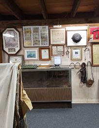
Discover the Crooked Creek Civil War Museum in Vinemont, Alabama, where history comes alive through engaging exhibits and personal stories from the Civil War era.
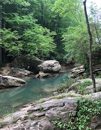
Discover Alabama's natural beauty at Sipsey River Picnic Area: Hike scenic trails and discover the wonders of Bankhead National Forest.
