From Eve
Know before you go
Hi, I'm Eve. Here are a few practical things to know before exploring الطاڨية Taguia.
Local know-how to help you travel smarter and make the most of every moment.

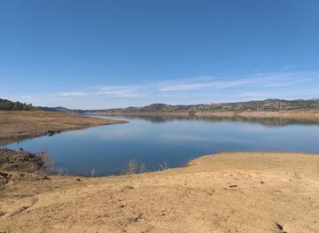
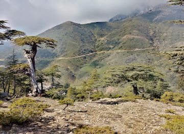
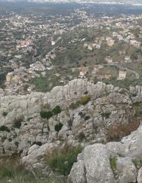
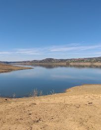
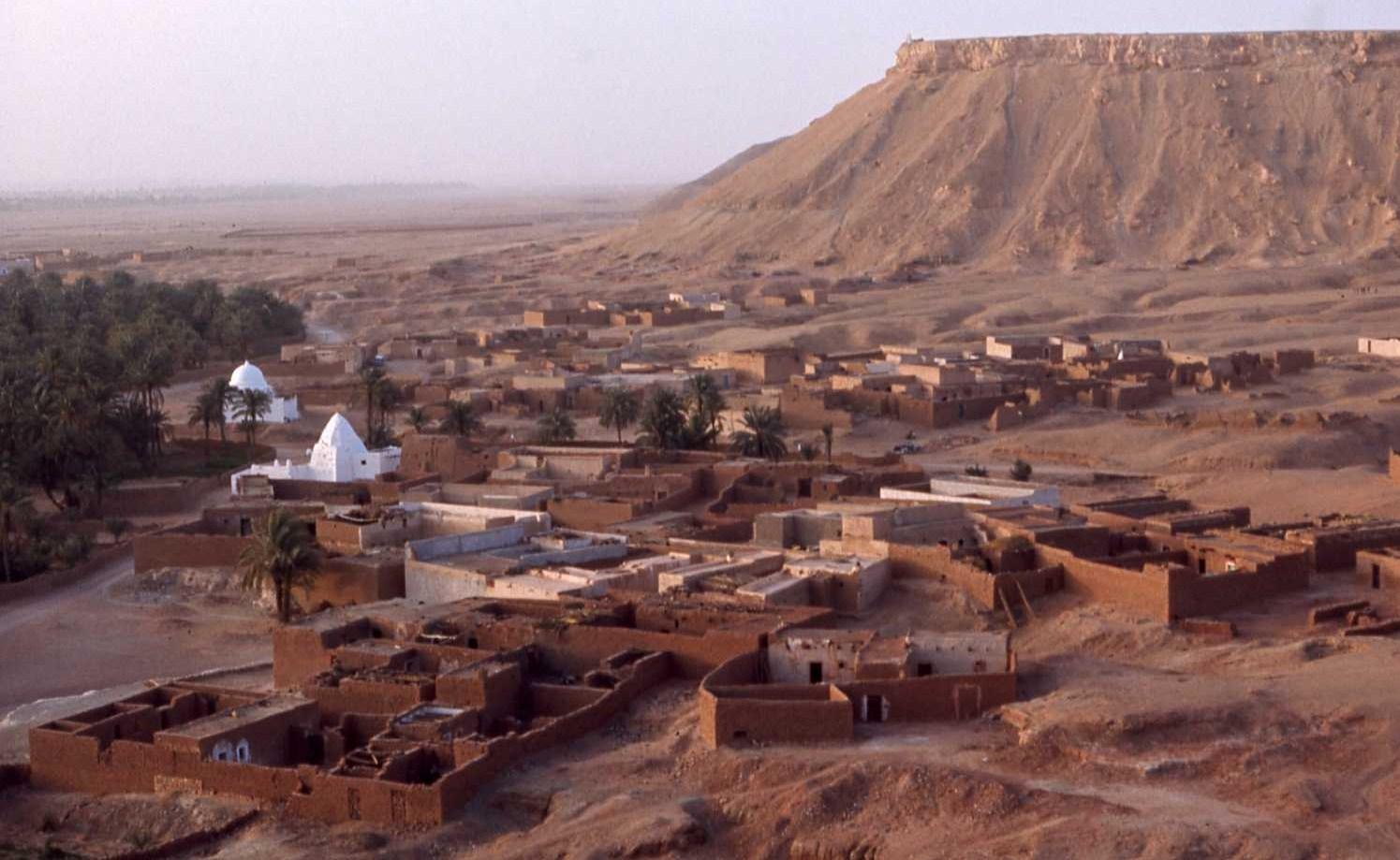
Discover الطاڨية Taguia in Haraza: Experience Algeria's rich history, stunning landscapes, and warm hospitality in this captivating tourist attraction.
الطاڨية Taguia, nestled in the heart of Haraza, Algeria, is a captivating tourist attraction renowned for its stunning landscapes and rich cultural heritage. Visitors can immerse themselves in the serene atmosphere, explore unique architecture, and experience the warm hospitality of the local community.
Opening times, essentials, and a few local tips gathered into one calmer, easier-to-scan planning section.
Hi, I'm Eve. Here are a few practical things to know before exploring الطاڨية Taguia.
Local know-how to help you travel smarter and make the most of every moment.
Public Transport
From Gueltara, take a shared taxi (known locally as 'taxi collectif') heading towards Haraza. These can be found at the main taxi stand in Gueltara. The fare is typically around 200 DZD. Once you arrive in Haraza, you can either walk to the coordinates 36.1337194, 4.1635361, which is about 2 kilometers away, or ask locals for a taxi to take you directly to 'الطاڨية Taguia'.
Walking
If you prefer to walk from Haraza after arriving by taxi, head east on the main street until you reach the local park. From there, take the dirt road leading northeast toward the coordinates 36.1337194, 4.1635361. It is advisable to ask locals for the best paths as the area might not have clearly marked trails.
Use الطاڨية Taguia as your starting point for nearby food, family ideas, nightlife, and more local discoveries.

Explore expert travel guides, compare and book tours, experiences, hotels, and more—all from the palm of your hand. Download now for seamless trip planning wherever your wanderlust takes you.
Discover the hidden beauty of Gueltara, Algeria – where stunning landscapes and rich history converge in a serene desert setting.
Tell me more about Gueltara