Background

Thaletat: The Hand of the Jew

Explore Thaletat, the 'Hand of the Jew,' in Kabylie's Djurdjura Mountains for panoramic views and a glimpse into local history and legends.

★★★★★4.7 (3)

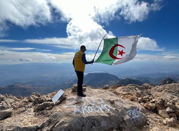
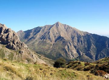
Thaletat, also known as the 'Hand of the Jew,' is a prominent peak in the Djurdjura Mountains of Kabylie, Algeria, reaching an altitude of 1,638 meters. Oral traditions recount historical disputes between villages for control over this resource-rich area. The mountain offers stunning panoramic views of the Kabylie region.

Plan your visit

A brief summary to Thaletat

Opening times, essentials, and a few local tips gathered into one calmer, easier-to-scan planning section.

Plan your visit

📍
F6J3+66, Aït Boumahdi, DZ

Explore places near Thaletat

    See all →

    Unlock the Best of Thaletat

    Find tickets, tours with entry, and experiences available for this location.

    Buy tickets

    No tickets available

    Book tours with entry

    No tours with entry available

    Book tours without entry

    No tours without entry available

    Getting There

    Driving

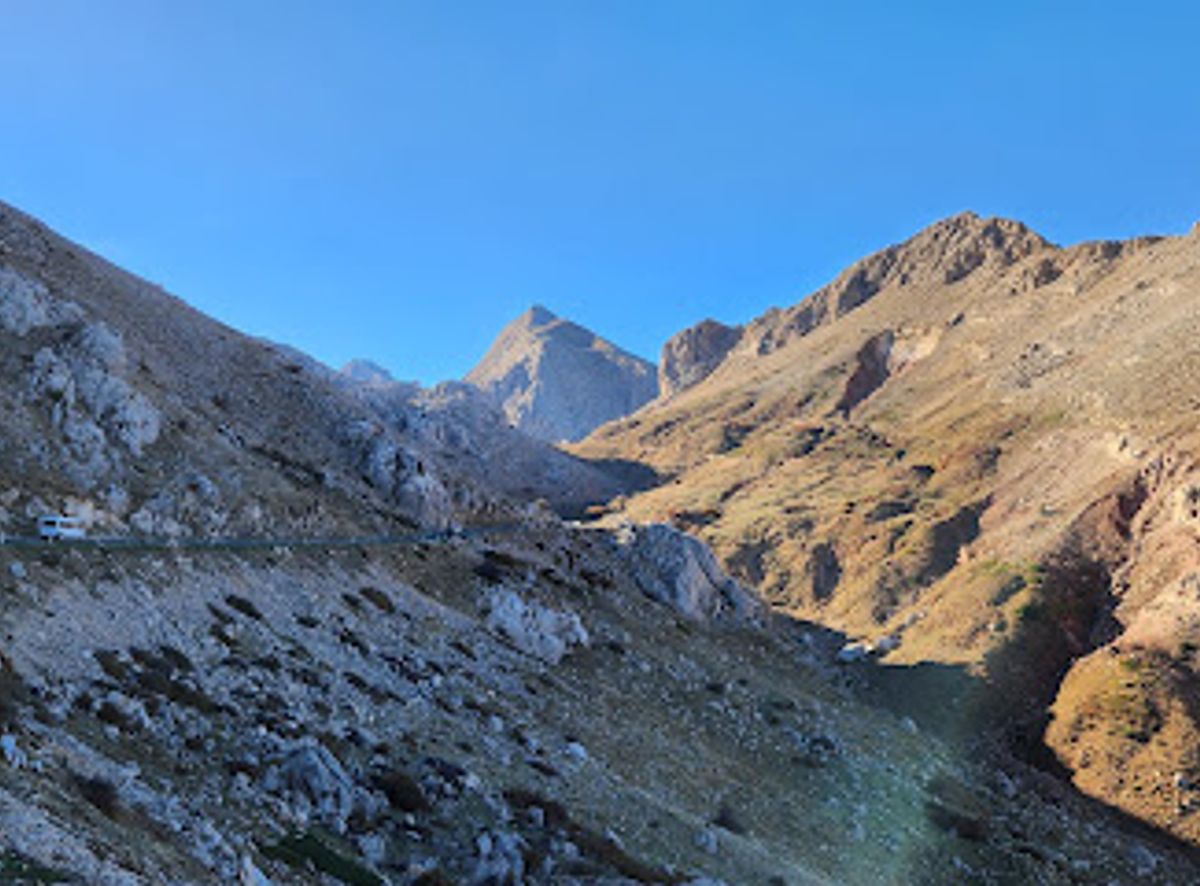
    From Aït Boumahdi, follow the road towards Djurdjura National Park. The journey to the area near Thaletat takes approximately 30 minutes, depending on traffic and road conditions. Parking is available near the base of the mountain but can be limited during peak season.

    Public Transport

    Local buses connect Aït Boumahdi with nearby towns and villages. From the bus stop closest to Thaletat, it's a moderate walk to the mountain. Check local bus schedules for accurate timings.

    Local tips

    Wear sturdy shoes for hiking around Thaletat, as the terrain can be uneven and rocky.
    Bring water and snacks, especially if you plan to hike, as there are limited facilities near the mountain.
    Check the weather forecast before visiting, as mountain conditions can change rapidly.

    Discover more about Thaletat

    Thaletat, a majestic peak in the Djurdjura mountain range, stands at 1,638 meters and is also known as the 'Hand of the Jew'. The name 'Thaletat' means 'auricular' or 'little finger' in the Kabyle language. The French named it 'Main du Juif' (Hand of the Jew) because locals said it resembled a raised hand with six fingers; legend says it was a place of prayer for a Jewish ascetic. Villages like Timeghras and Aït-Boumehdi have historically competed for the territory surrounding Thaletat, a region rich in water, pastures, and arable land. According to oral accounts, the conflict between the two villages led to an arbitration that resulted in the founding of Aït Abdellali. For tourists, the southern slope of Thaletat is relatively accessible by road from Bouira. The route passes through the Hamza plain, alongside the Haïzer massif, and ascends towards the Tikjda ski resort. The road winds along the Akouker peaks, offering stunning views of the Kabylie region. A vantage point near Thaletat provides panoramic vistas of the surrounding landscape.

    A brief summary to Thaletat

    Use Tower Bridge as your starting point for nearby food, family ideas, nightlife, and more local discoveries.

    Mobile App
    Get the app

    Your all‑in‑one travel companion app

    Explore expert travel guides, compare and book tours, experiences, hotels, and more—all from the palm of your hand. Download now for seamless trip planning wherever your wanderlust takes you.

    File:InSalah(1991).jpg - Wikimedia Commons

    More about Tidikelt

    Discover Tidikelt, Algeria's hidden oasis in the Sahara, where ancient history meets breathtaking landscapes and vibrant local culture.

    Tell me more about Tidikelt

    Select Currency

    Choose the currency you want prices to display in.